Elevation of Dearing Rd, Talbott, TN, USA
Location: United States > Tennessee > Hamblen County > Talbott >
Longitude: -83.383592
Latitude: 36.1566665
Elevation: 379m / 1243feet
Barometric Pressure: 97KPa
Elevation Map:
Satellite Map:
Related Photos:

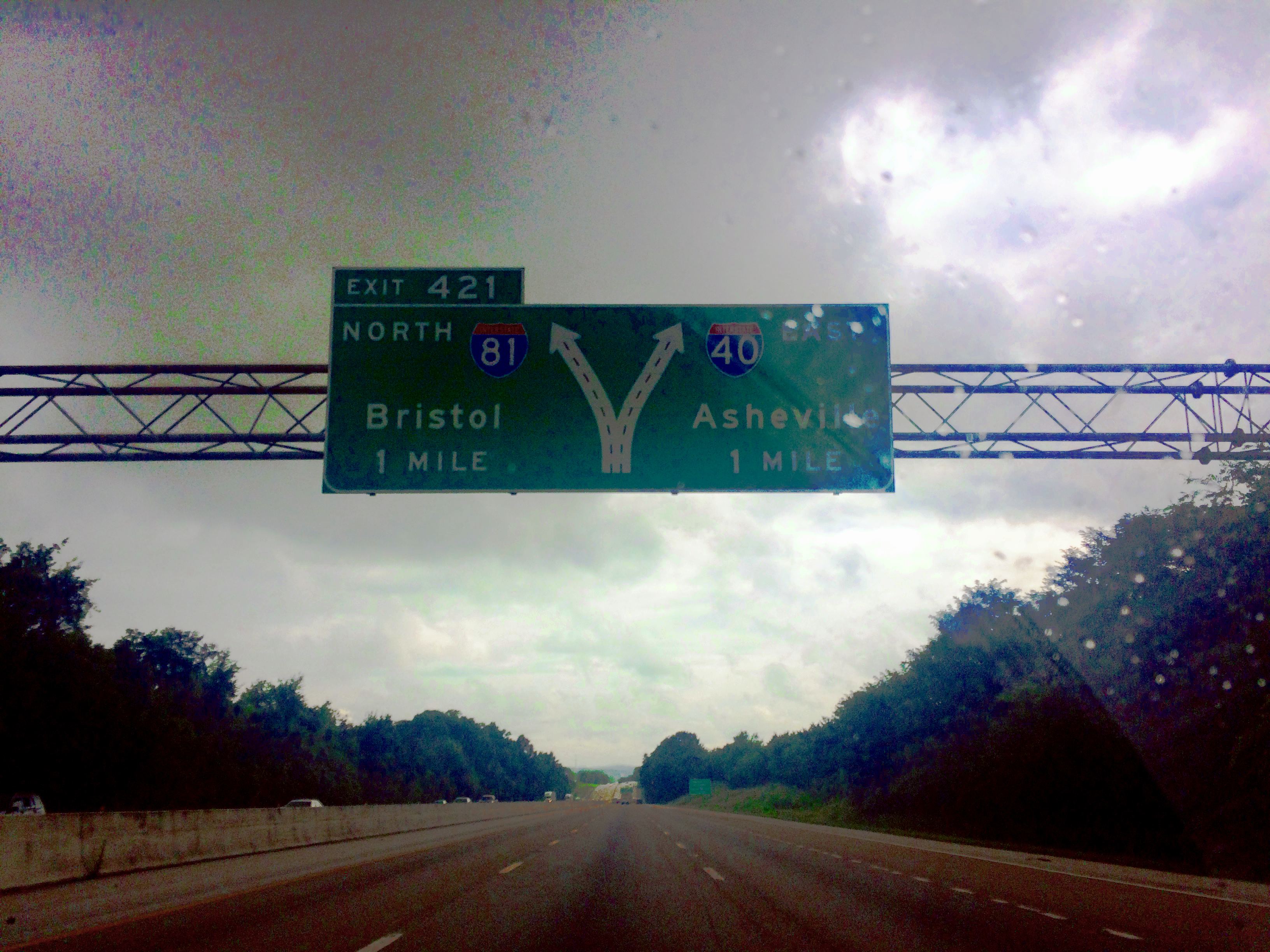
Captain Casey says this isn't the view he prefers on Tennessee interstate 40.

Morristown College- Morristown TN
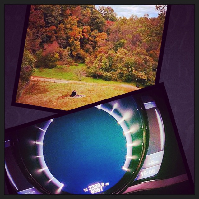
2390 miles later.. The eastbound leg of #roadtrip2014 has come to an end. And I am greeted with an awesome view from the deck of my family friends place.
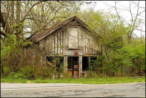
Mill Springs Store

Hag Moth Caterpillar side view
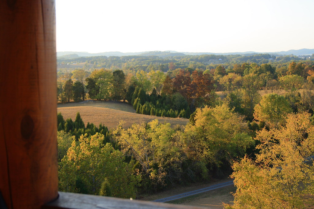
View from the cabin 1
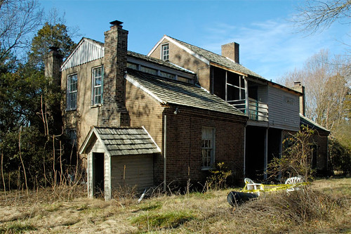
Five Chimneys Rear View
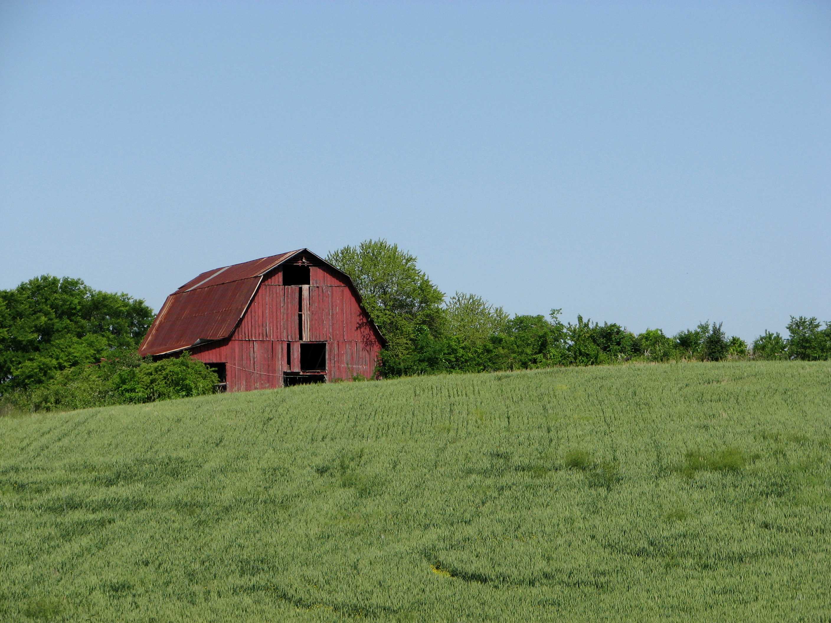
Red Barn on a Sea of Green.
Mossy Creek WVA

Hamblen County, TN Courthouse - Morristown, TN
The View

Panther Creek trail

P1000473a.jpg
#FrenchBroadRiver #cr_england #PaidToSightsee #myday #truckdriving #teamlife

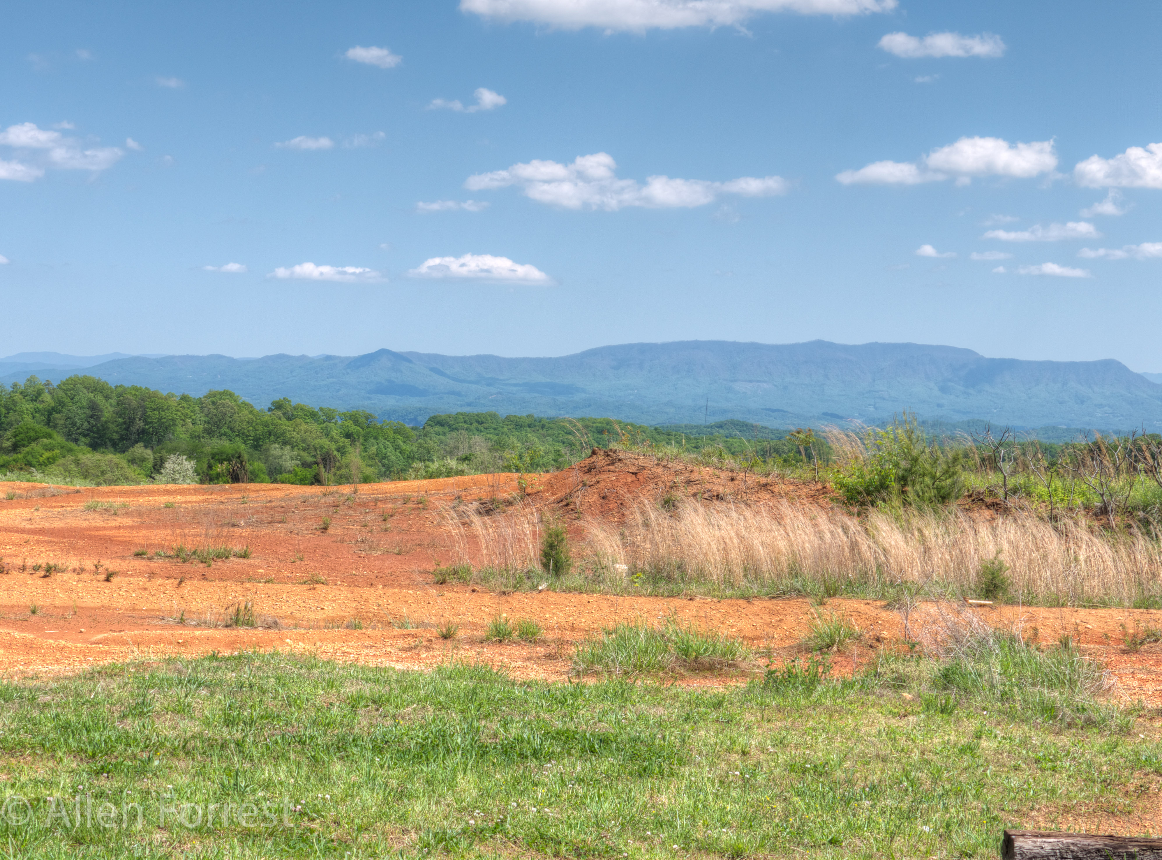
East Tennessee

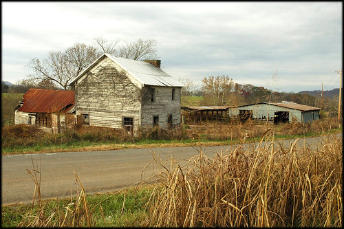
Grandmother’s Farm
Dandridge, Tennessee

woods(022)

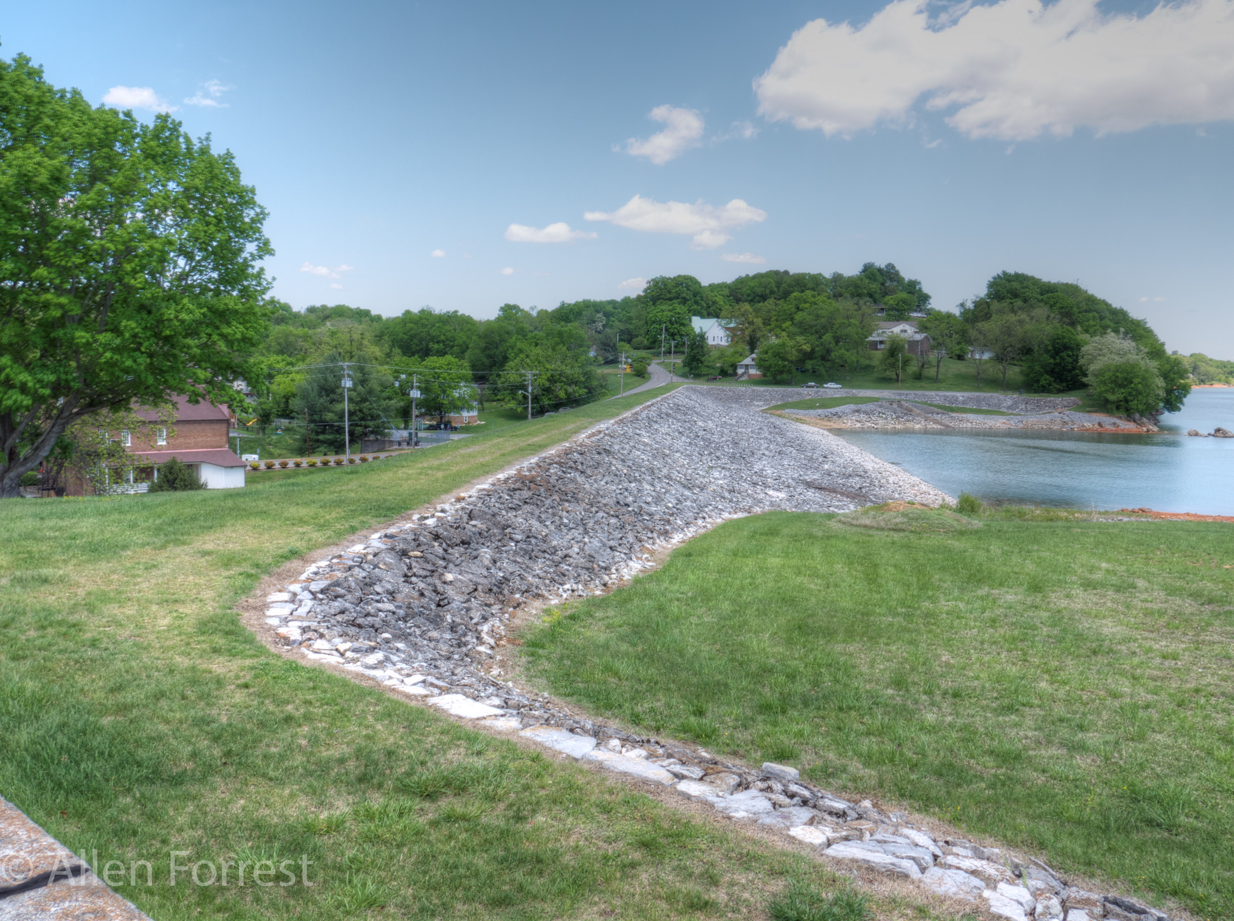
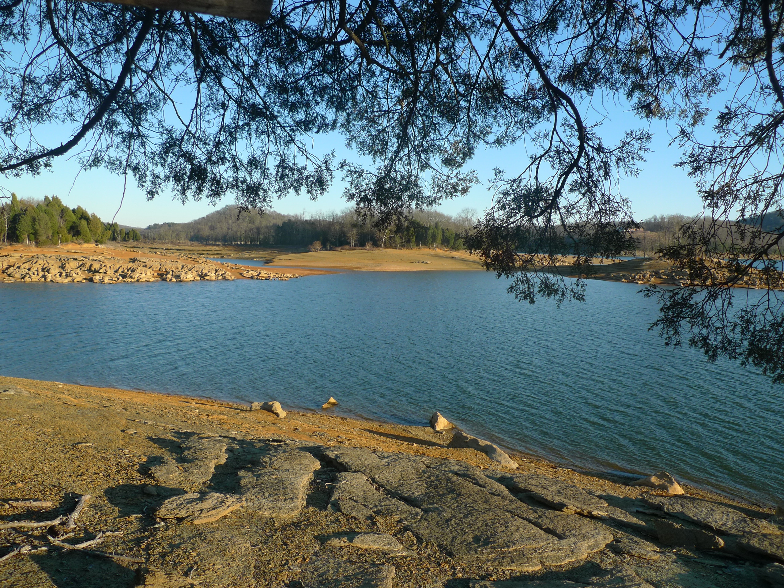
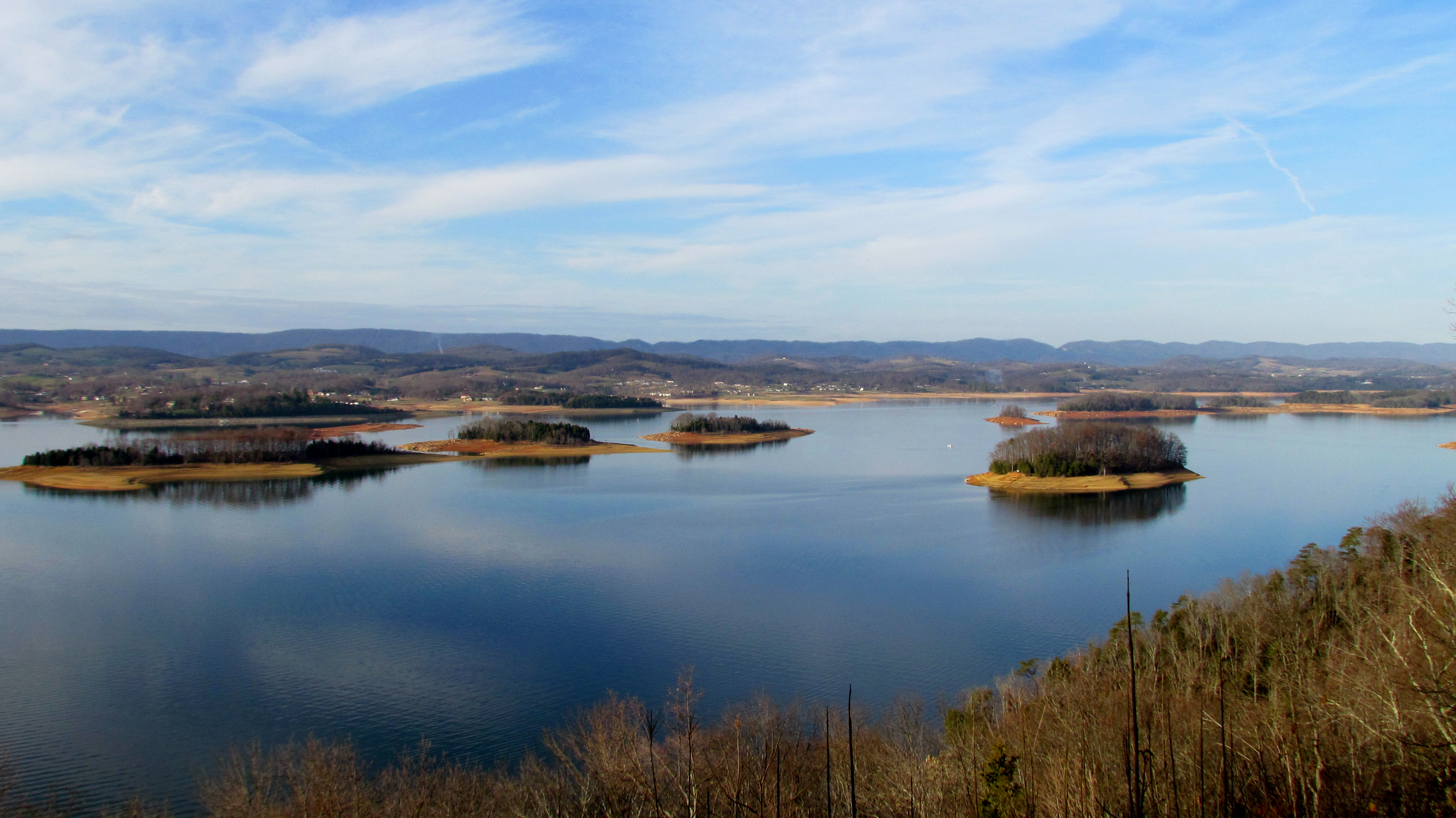
Cherokee Lake (1)
P1000478.jpg
'brellas
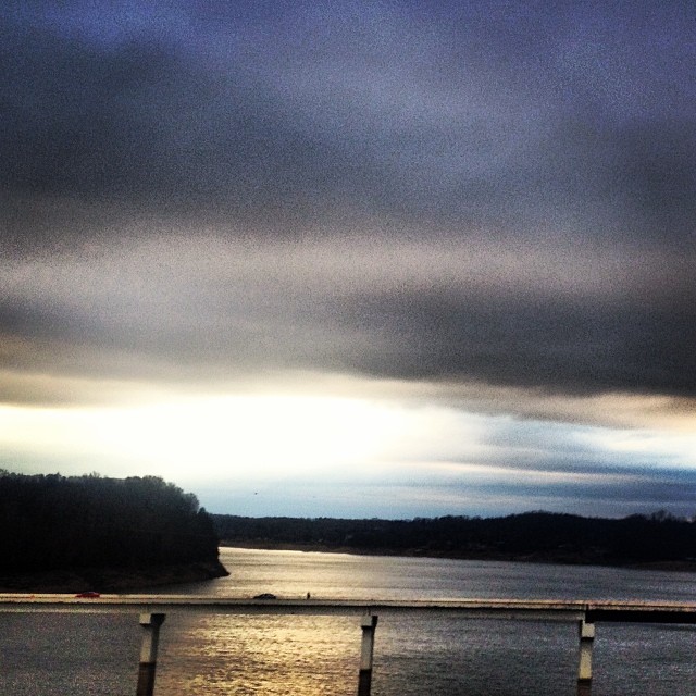
#stormyweather #clouds_of_our_world #cloudscape #fallweather

Lake_Cherokee-223.jpg
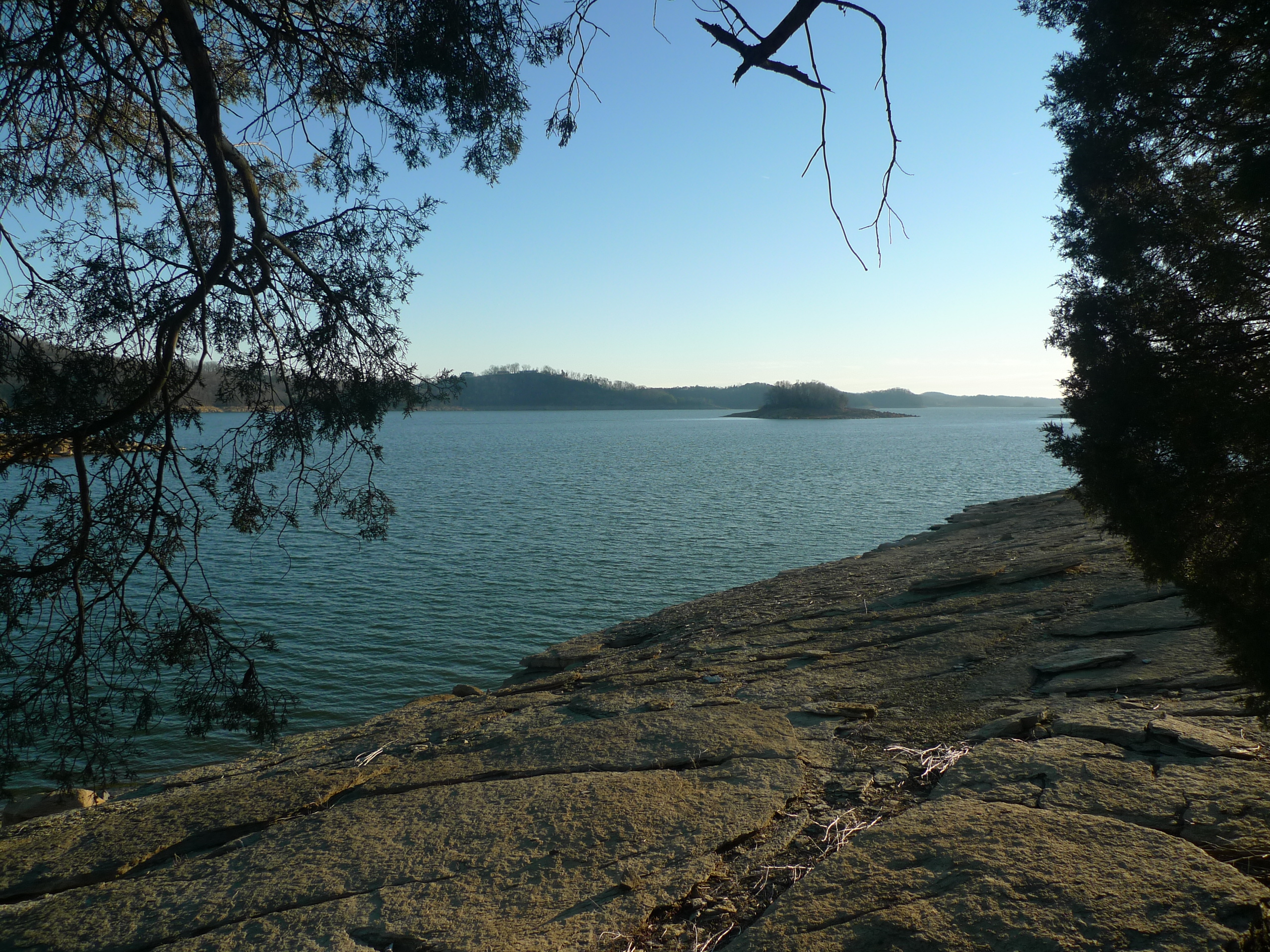
Cove on Castaway Island - Cherokee Lake
The Point
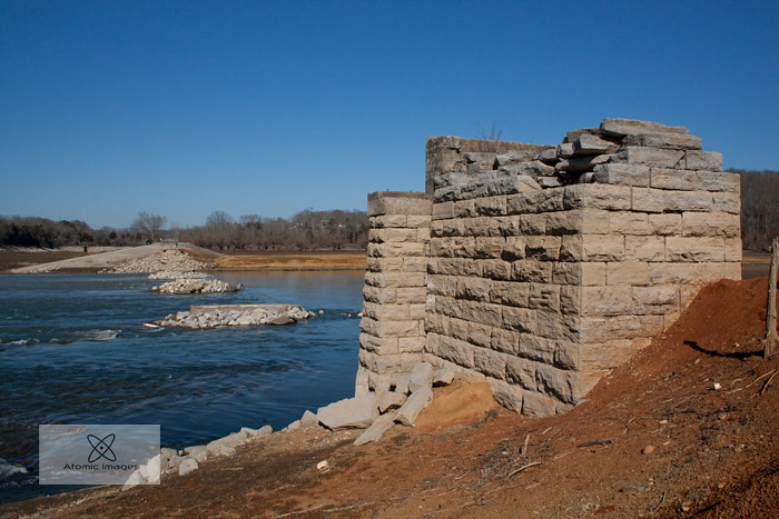
A Forgotten Bridge

Sailboat adrift on Castaway Island

#sunsetlovers #sunsets
Memory on Mine Road
Cherokee Lake Panorama

Orange Clouds at Sunset
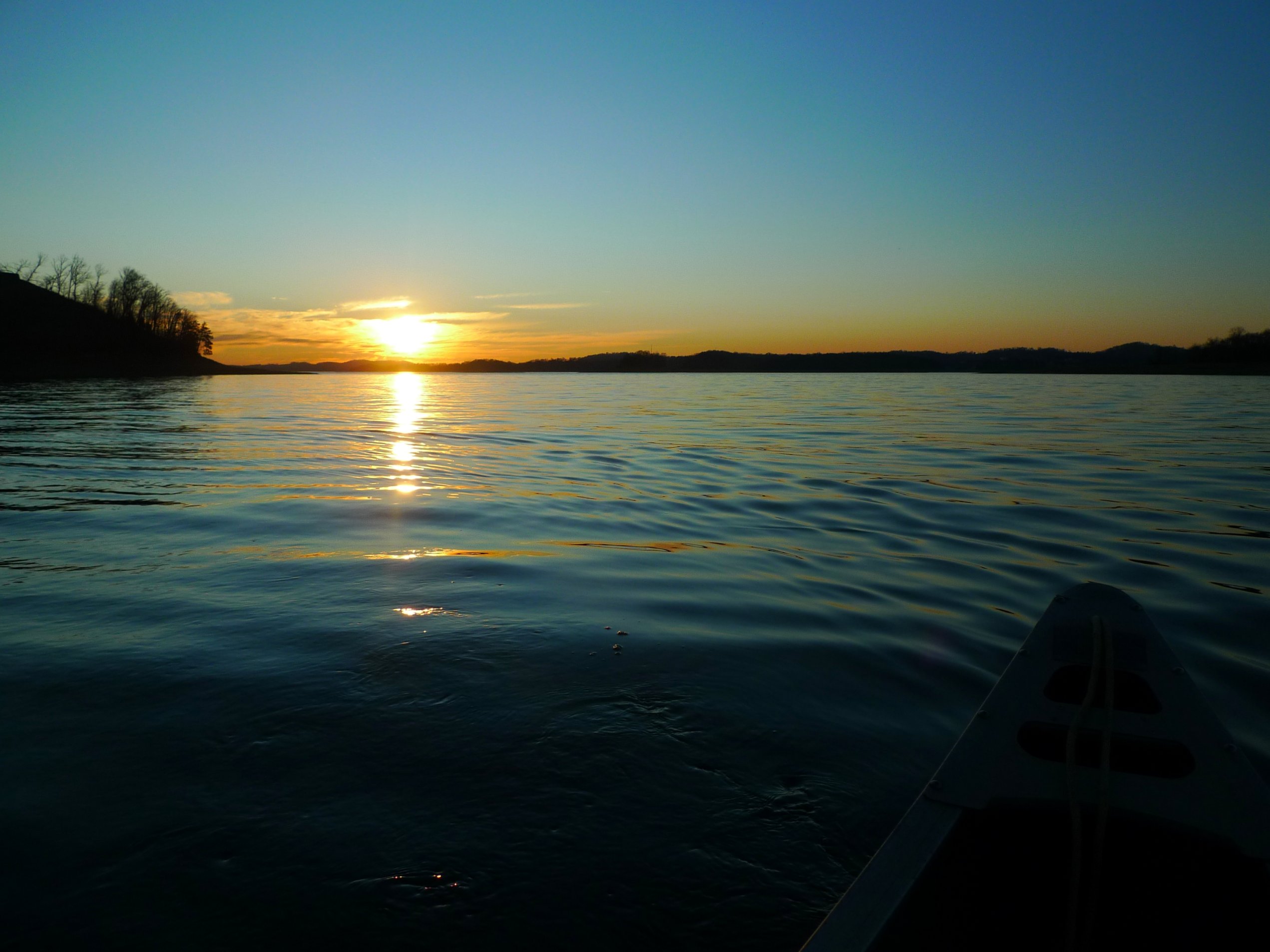
Sunset on Cherokee Lake
Topographic Map of Dearing Rd, Talbott, TN, USA
Find elevation by address:

Places near Dearing Rd, Talbott, TN, USA:
5780 Buell St
5949 Commerce Blvd
7935 Westgate Cir
Talbott, TN, USA
6622 W Andrew Johnson Hwy
307 Britton Dr
776 Rainbow Cir
Talbott
875 Hemlock Cir
2175 Haag Store Rd
W Andrew Johnson Hwy, Morristown, TN, USA
Lake Park Cir, Morristown, TN, USA
1620 Lake Park Cir
South White Pine Road
5574 Hiawatha Rd
Allen Rd, Talbott, TN, USA
381 N Chucky Pike
3667 Meadowland Dr
889 Chucky Pike
Green Cir, Talbott, TN, USA
Recent Searches:
- Elevation of Corso Fratelli Cairoli, 35, Macerata MC, Italy
- Elevation of Tallevast Rd, Sarasota, FL, USA
- Elevation of 4th St E, Sonoma, CA, USA
- Elevation of Black Hollow Rd, Pennsdale, PA, USA
- Elevation of Oakland Ave, Williamsport, PA, USA
- Elevation of Pedrógão Grande, Portugal
- Elevation of Klee Dr, Martinsburg, WV, USA
- Elevation of Via Roma, Pieranica CR, Italy
- Elevation of Tavkvetili Mountain, Georgia
- Elevation of Hartfords Bluff Cir, Mt Pleasant, SC, USA