Elevation of David Ct, Moyock, NC, USA

Location: United States > North Carolina > Currituck County > Moyock > Moyock >

Longitude: -76.248476

Latitude: 36.5317212

Elevation: 6m / 20feet

Barometric Pressure: 101KPa

Elevation Map:

elevation map of David Ct, Moyock, NC, USA

Satellite Map:

Satellite map of David Ct, Moyock, NC, USA

Related Photos:

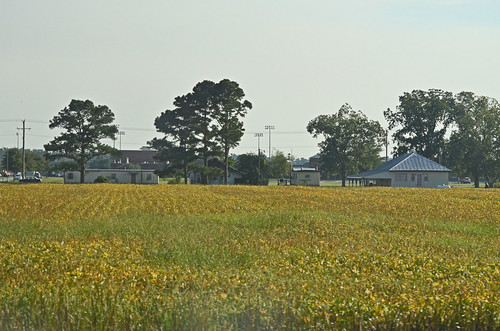
photography nc photos northcarolina views crops soy middleschool currituck moyock currituckcounty caratokehighway
z2013-09-11 (22) Currituck County NC
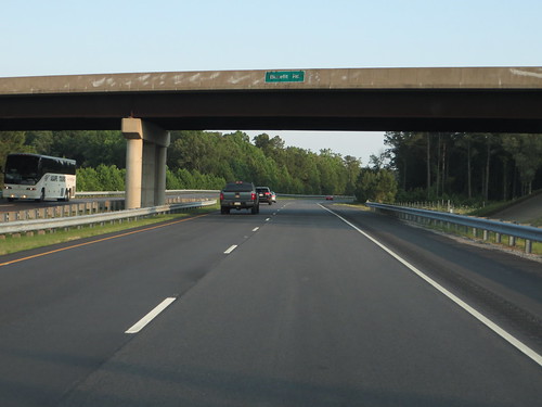
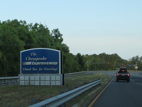
Chesapeake Expressway, Chesapeake, Virginia en route to Hampton Roads, Virginia
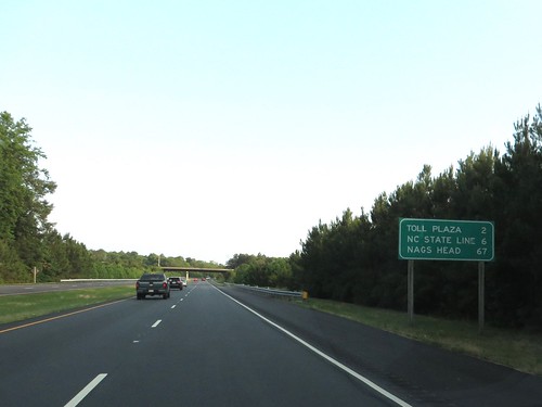
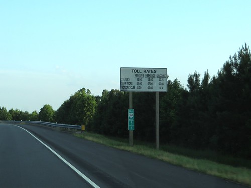
Chesapeake Expressway, Chesapeake, Virginia en route to Outer Banks, North Carolina
square lofi squareformat iphoneography instagramapp uploaded:by=instagram foursquare:venue=4c86d155d92ea093a3547172
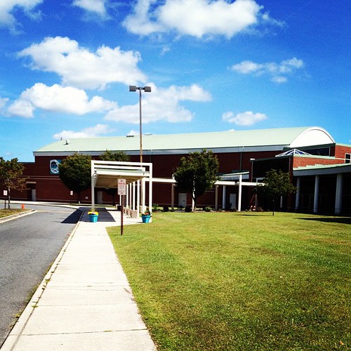
Also from yesterday. 258/365. An alumni's view is a very sentimental one. #highschool #alumni #school #sky #nature #instagood #instagramhub #potd #iphonesia #phonetography #instagreat #phonology #iphoneonly #igers #igaddict #picoftheday #igdaily #statigr
Blackwater 025
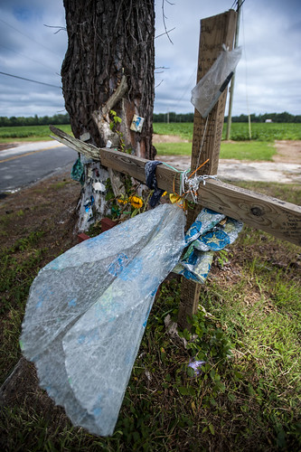
auto tree beach youth death virginia memorial accident roadside wreck blackwater
Wreck Tree
moon virginia eclipse wintersolstice chesapeake jcp lunareclipse johncacherophotography wintersolsticelunareclipse
Winter Solstice Lunar Eclipse - Chesapeake, Virginia - December 21, 2010 - 2:55am
railroad photography nc track photos tracks northcarolina railway views moyock currituckcounty moyocknc
2013-10-02 (4) Moyock NC tracks
3292011d7000
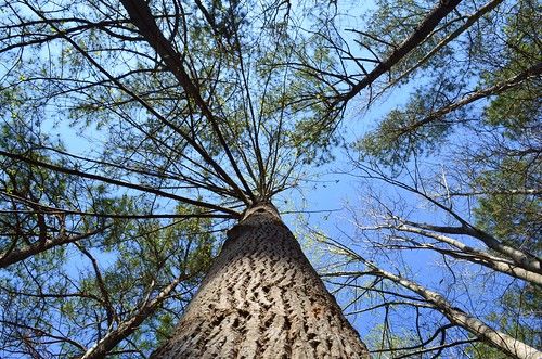
Squirrels eye view
park canal nc dismal state north may swamp carolina 2013
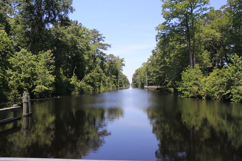
The canal looking north
road park canal nc dismal state north may swamp carolina 2013
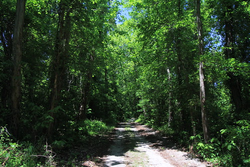
Dismal Swamp Canal Road
park nc dismal state north may swamp carolina boardwalk 2013
The Swamp boardwalk
road park canal nc dismal state north may swamp carolina 2013
Dismal Swamp Canal Road
square squareformat iphoneography instagramapp uploaded:by=instagram foursquare:venue=4c274dce905a0f47aba36460
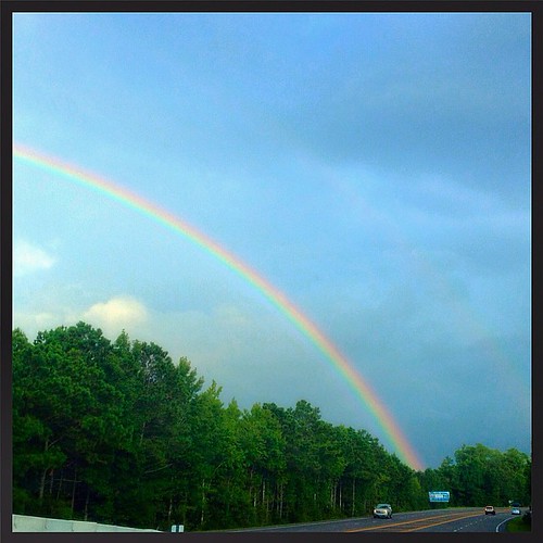
cray rainbow right before we arrived at the outer banks yesterday !
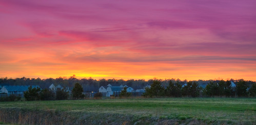
sunset cloudy northcarolina cloudsstormssunsetssunrises
_MG_4397_8_9_tonemapped.jpg
square squareformat hefe iphoneography instagramapp uploaded:by=instagram foursquare:venue=4d989165942ba0930c99878c
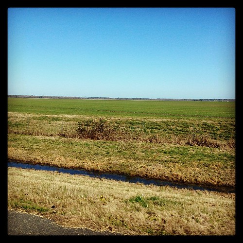
I spy green grass here in NC!! #signsofspringinnc #greengrass
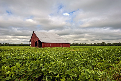
sky barn sunrise virginia chesapeake
Old barn
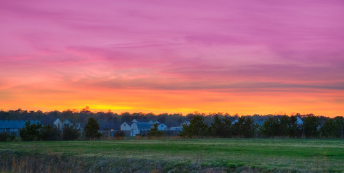
sunset cloudy northcarolina
_MG_4400_1_2_tonemapped.jpg
project 3661
8-366-1
Sunrise-31-2.jpg
Sunrise-34-2.jpg
square squareformat iphoneography instagramapp xproii uploaded:by=instagram foursquare:venue=4b96c257f964a520aae234e3
#sunset over the #ballfield at #scaa in #chesapeake #virginia taken with an #iphone on #ios7
Indian Creek Horizontal Crop
weeds
Field Of Dreams
usa northcarolina 2008 dismalswampstatepark
Dismal Swamp State Park, North Carolina.
trail gds greatdismalswamp
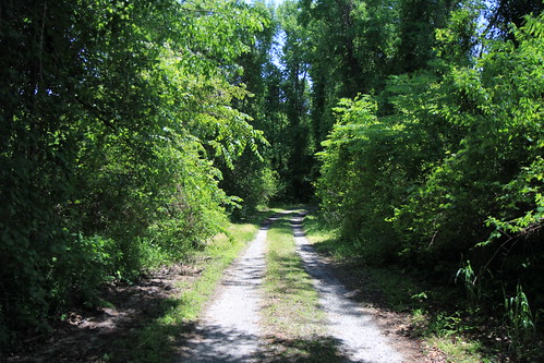
GDS Trail
bridge creek forest swamp chesapeake
Swamp in Chesapeake
sunset iphone
Sunset on the baseball field