Elevation of Dave Keane Mountain, Nevada, USA
Location: United States > Nevada > Eureka County >
Longitude: -116.08783
Latitude: 39.3332631
Elevation: 2681m / 8796feet
Barometric Pressure: 73KPa
Elevation Map:
Satellite Map:
Related Photos:
IMG_0742

IMG_0745

IMG_5922
IMG_0743
IMG_5920

IMG_5921
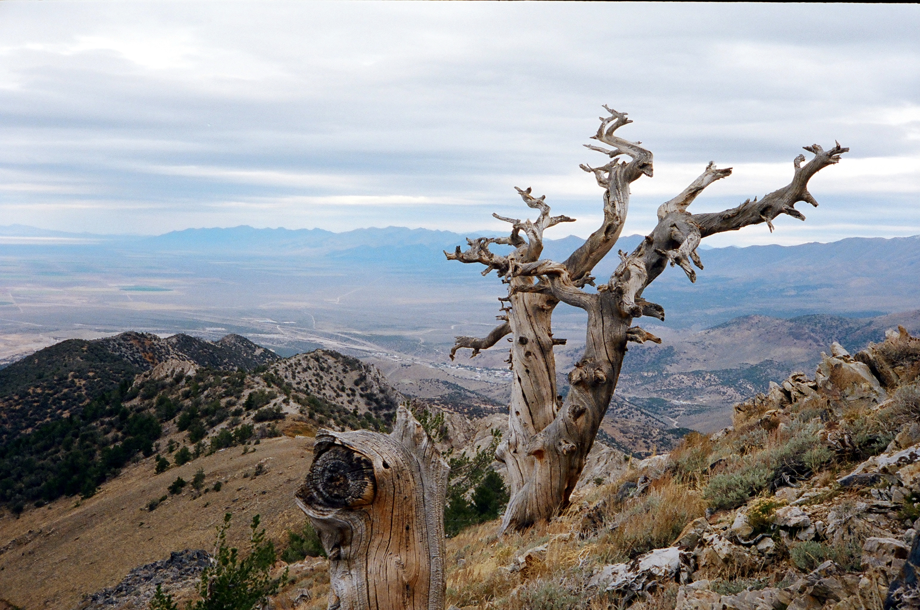
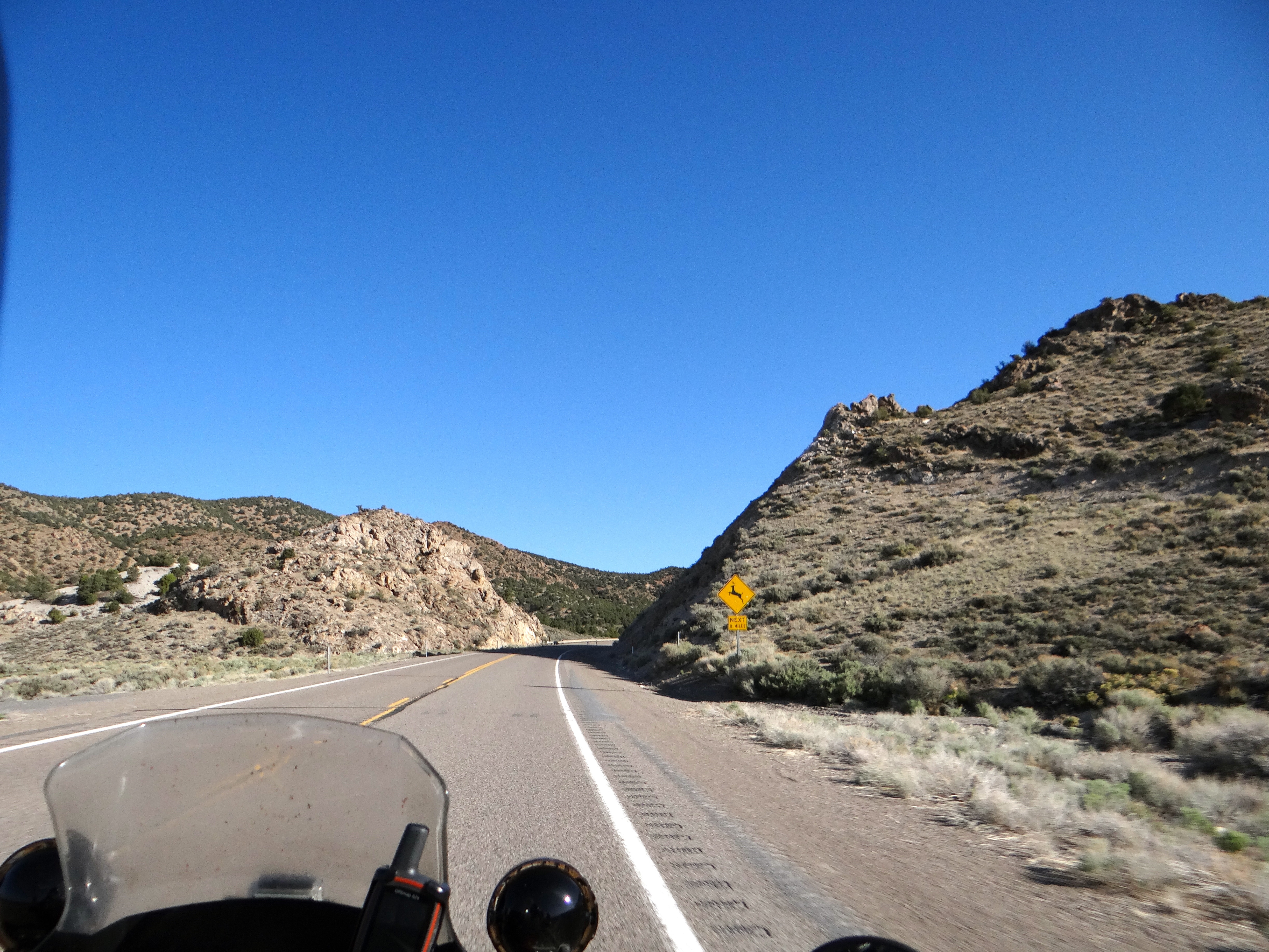
Prospect Peak
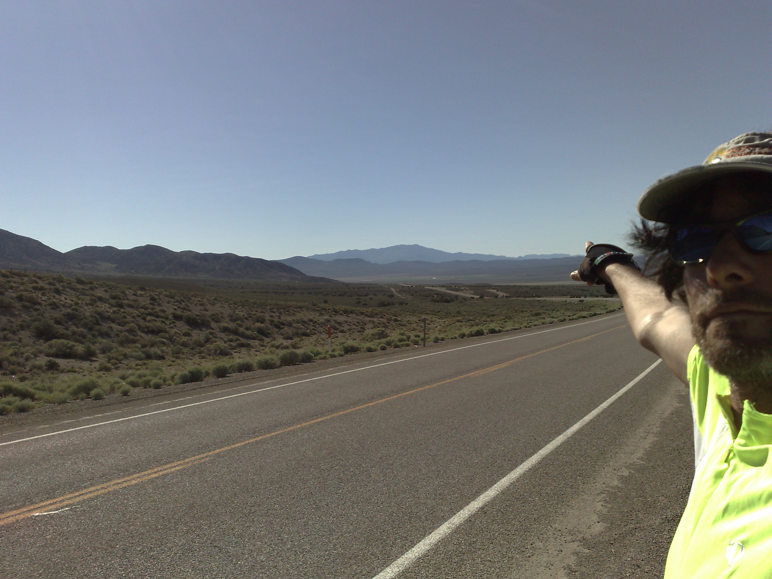
ZoneTag Photo Friday 8:28 am 6/13/08 Eureka, Nevada
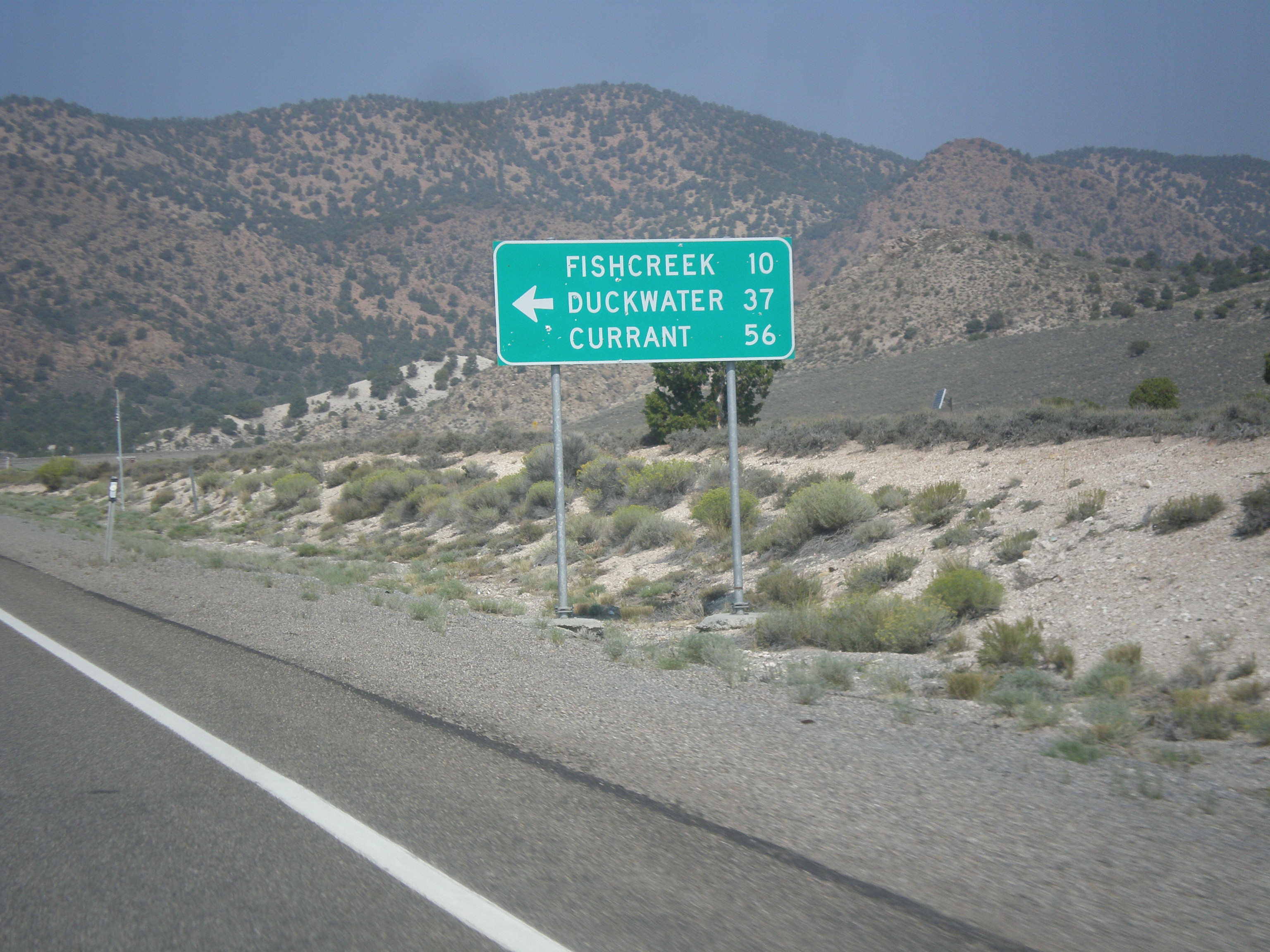
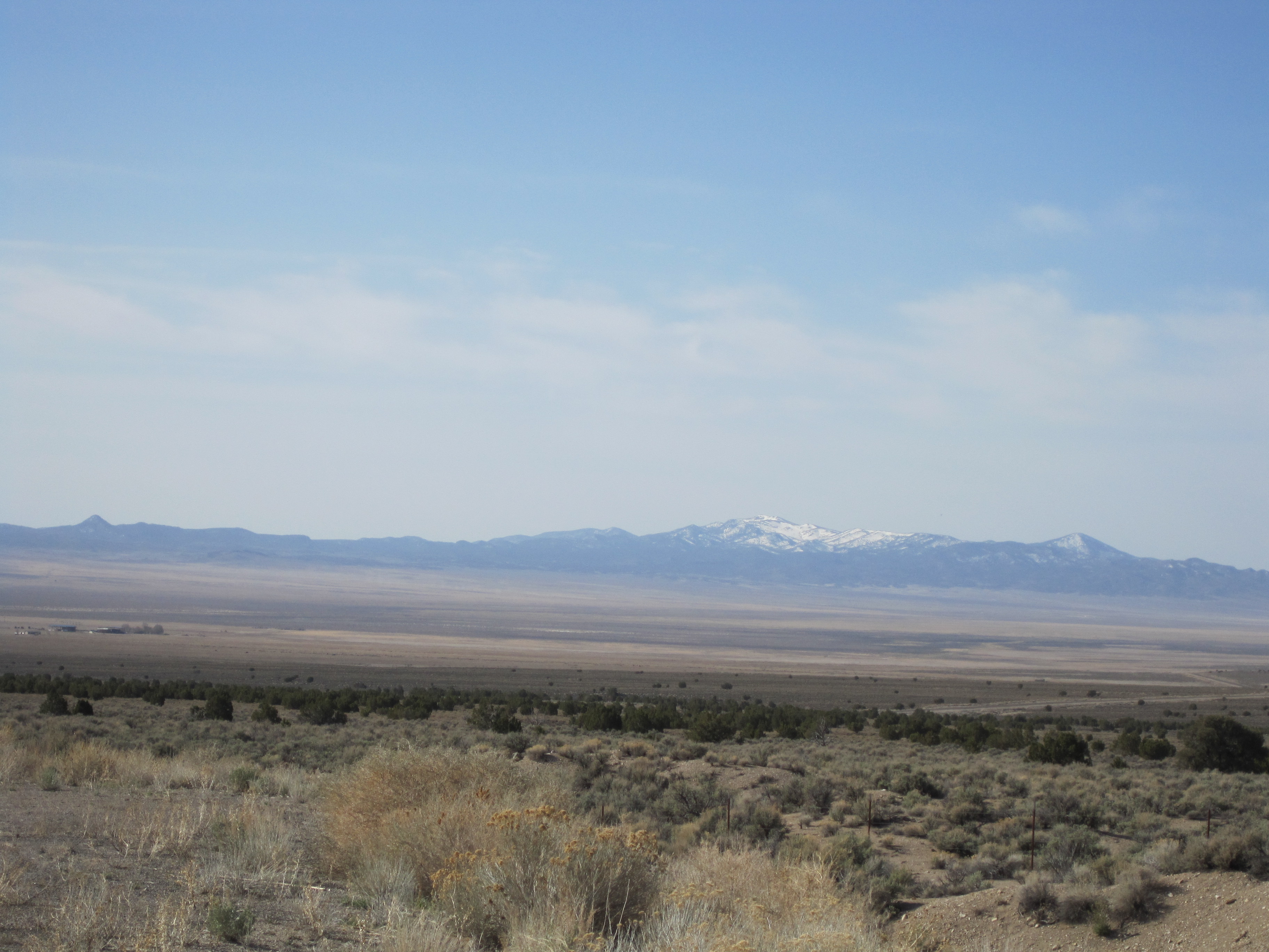
US-50 West - Duckwater Jct.
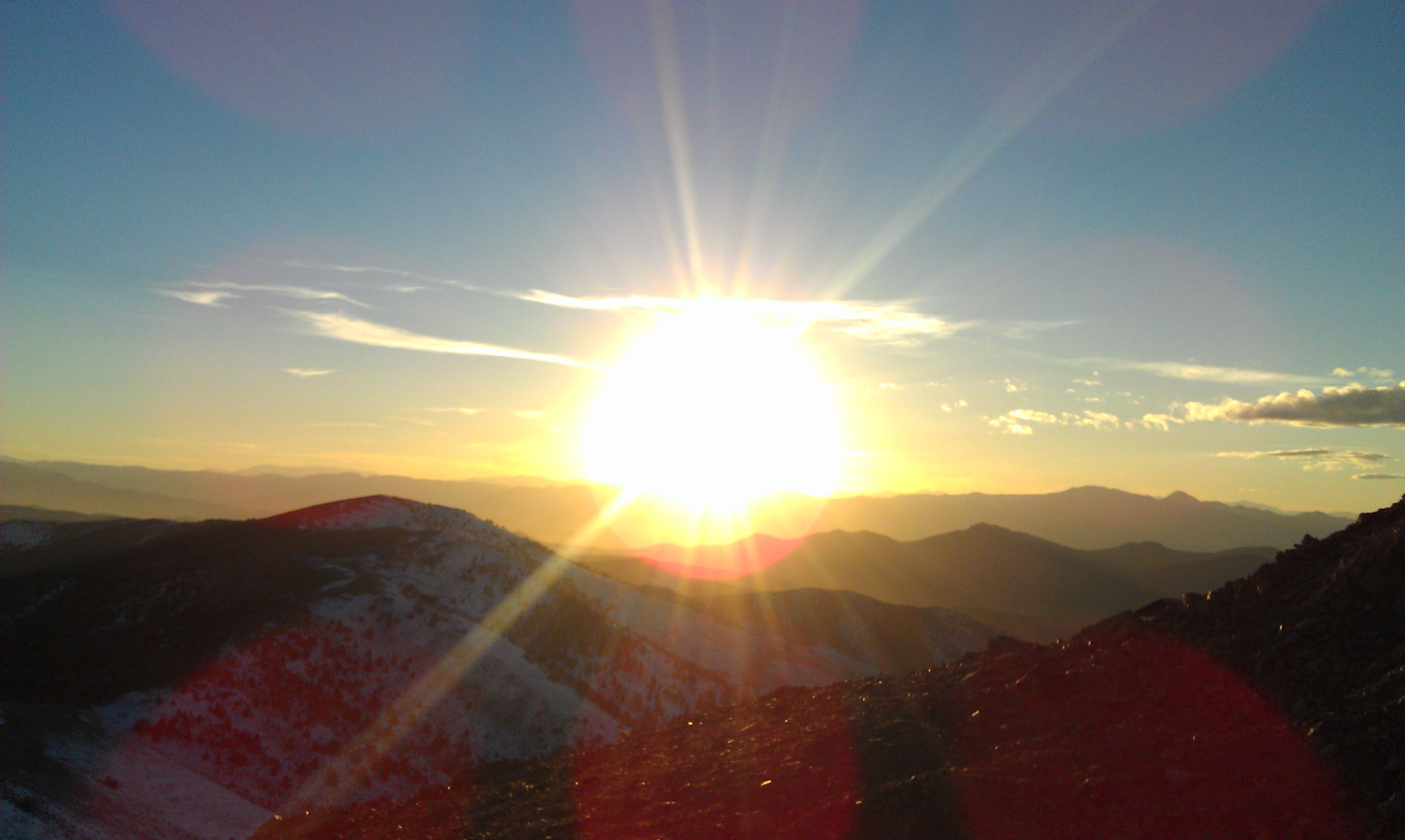
Prospect Peak
Topographic Map of Dave Keane Mountain, Nevada, USA
Find elevation by address:

Places near Dave Keane Mountain, Nevada, USA:
Ninemile Peak
Martin Ridge
Moonshine Peak
Horse Heaven Mountain
Savory Mountain
Mount Hamilton
Pogonip Ridge
Treasure Hill
Illipah Campground
Buster Mountain
Nevada
Black Rock Mountain
Tulle Mountain
Fishhook Ridge
Crescent Hogback
Mokomoke Hill
Mahogany Peak
Table Mountain
Indian Garden Mountain
Morey Peak
Recent Searches:
- Elevation of Corso Fratelli Cairoli, 35, Macerata MC, Italy
- Elevation of Tallevast Rd, Sarasota, FL, USA
- Elevation of 4th St E, Sonoma, CA, USA
- Elevation of Black Hollow Rd, Pennsdale, PA, USA
- Elevation of Oakland Ave, Williamsport, PA, USA
- Elevation of Pedrógão Grande, Portugal
- Elevation of Klee Dr, Martinsburg, WV, USA
- Elevation of Via Roma, Pieranica CR, Italy
- Elevation of Tavkvetili Mountain, Georgia
- Elevation of Hartfords Bluff Cir, Mt Pleasant, SC, USA