Elevation of Darwin, IL, USA
Location: United States > Illinois > Clark County > Darwin Township >
Longitude: -87.6119696
Latitude: 39.2833716
Elevation: 143m / 469feet
Barometric Pressure: 0KPa
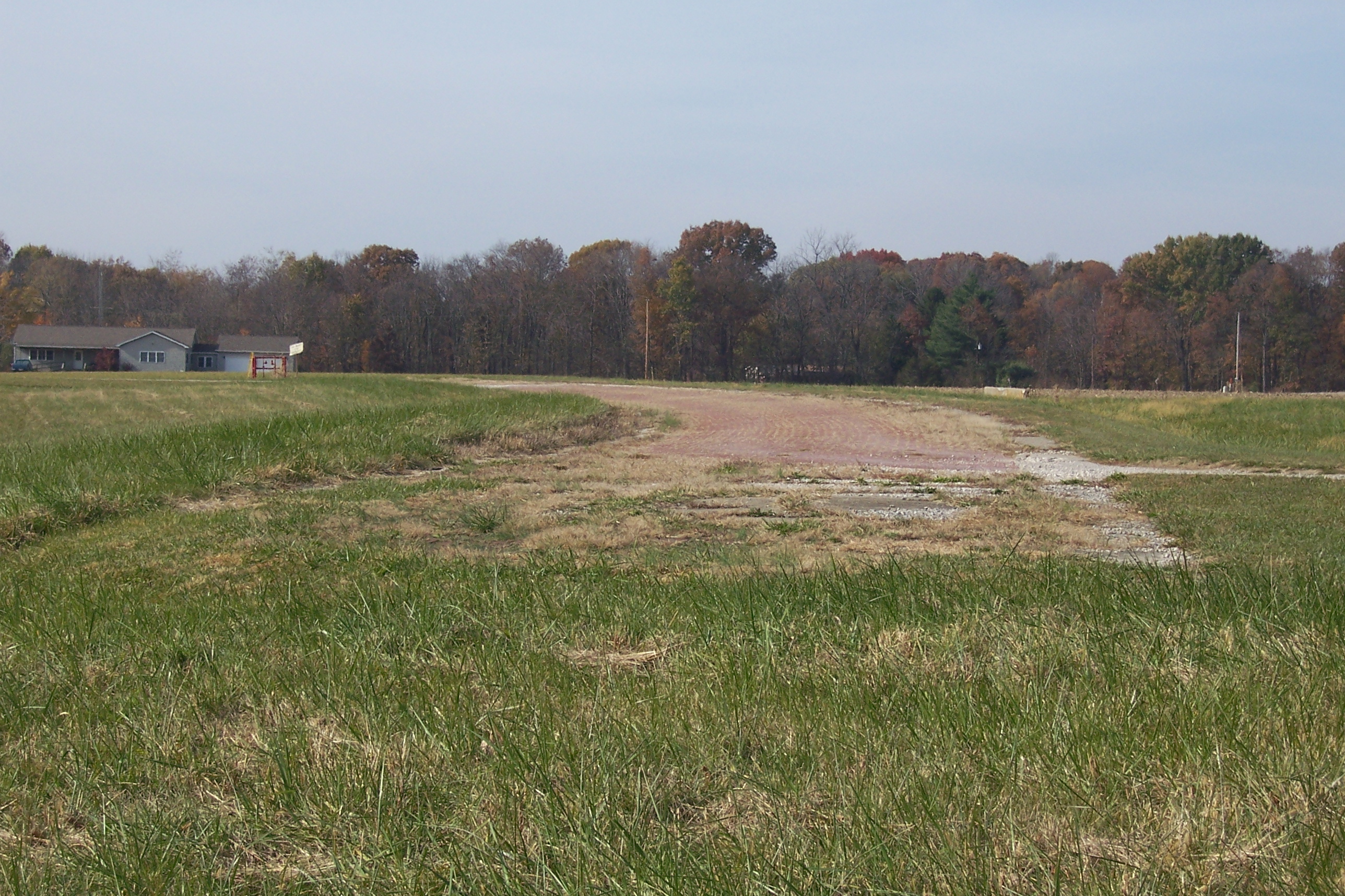
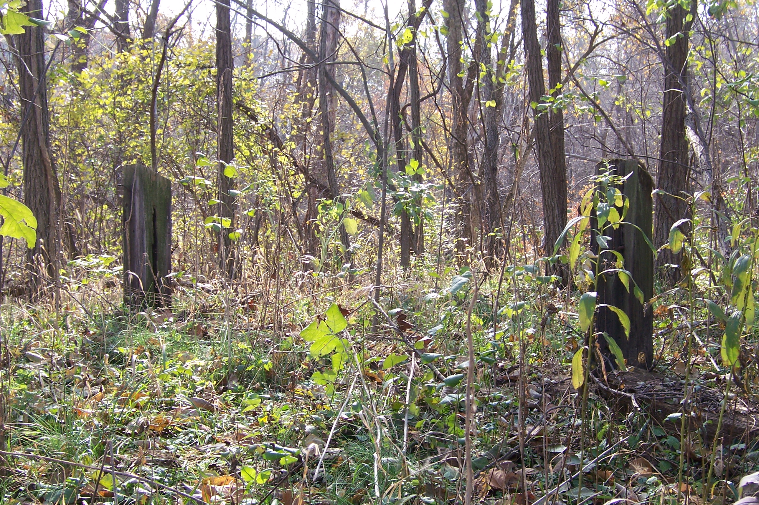
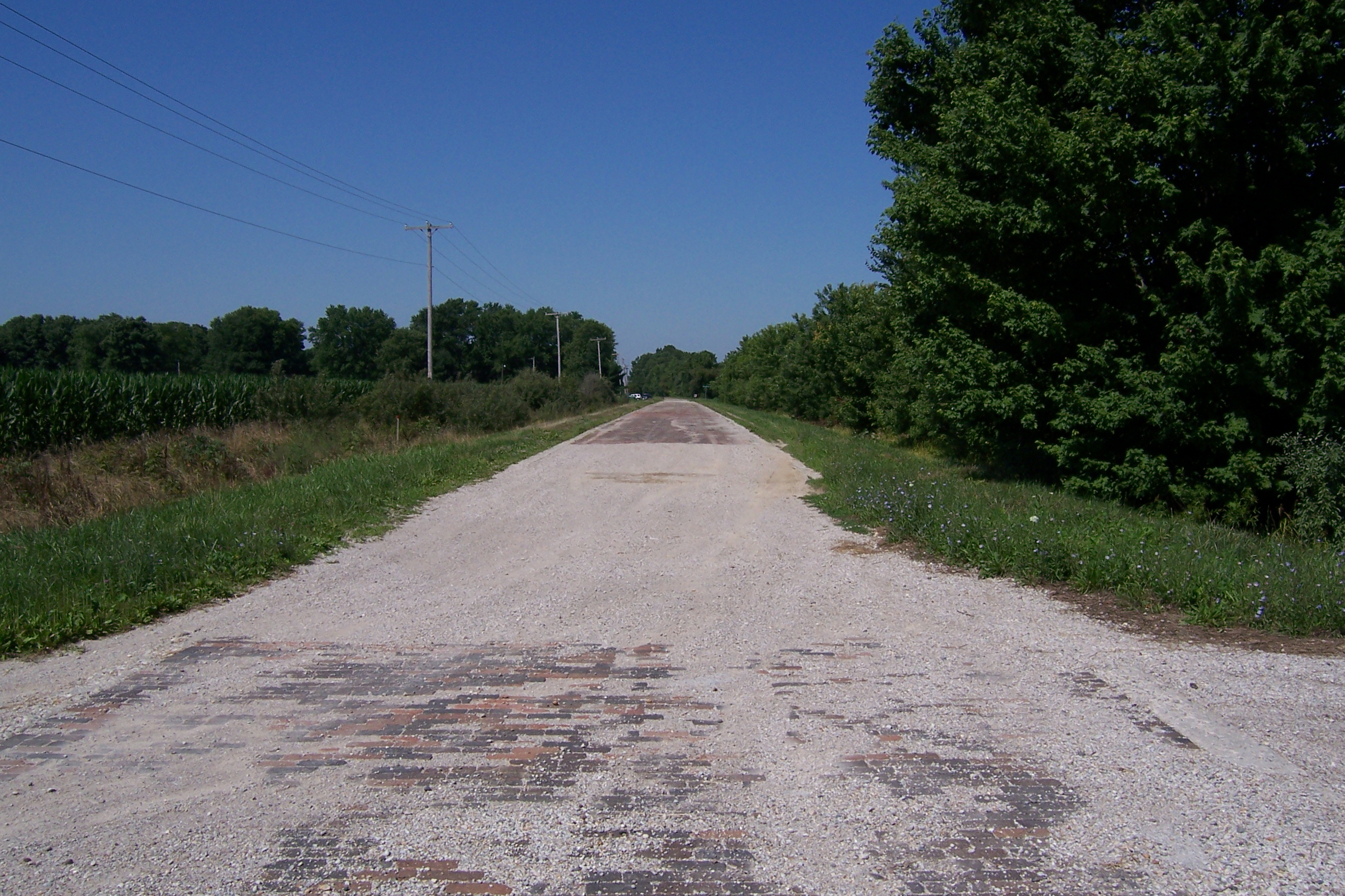
Related Photos:
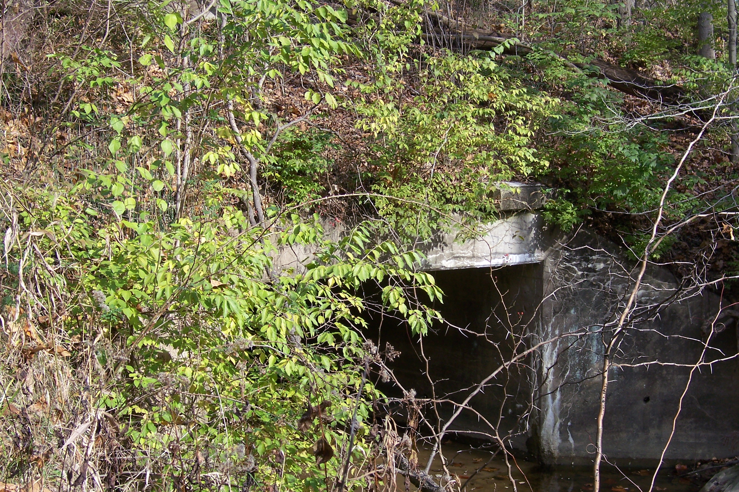
Abandoned National Road
Abandoned National Road

Country Road

Abandoned National Road
Abandoned National Road

Abandoned Illinois National Road

Abandoned Illinois National Road
Abandoned National Road

Brick National Road west of Marshall, IL

Southeastern Illinois Landscape (Clark County, Illinois)

Stone arch bridge in Marshall

Southeastern Illinois Landscape (Clark County, Illinois)

2015-04-30 06.35.08

Mill Creek Upstream
Topographic Map of Darwin, IL, USA
Find elevation by address:

Places near Darwin, IL, USA:
Darwin Township
IL-1, Marshall, IL, USA
Fairbanks Township
N West St, Fairbanks, IN, USA
Fairbanks
Turman Township
N Dodds Bridge Rd, Shelburn, IN, USA
4190 In-63
Hutsonville
S Main St, Hutsonville, IL, USA
Hutsonville Township
Curry Township
N Trimble Rd, Robinson, IL, USA
Merom Bluff
Merom
Farmersburg
E County Road N, Shelburn, IN, USA
Shelburn
Lamotte Township
S Merom Station Rd, Merom, IN, USA
Recent Searches:
- Elevation map of Greenland, Greenland
- Elevation of Sullivan Hill, New York, New York, 10002, USA
- Elevation of Morehead Road, Withrow Downs, Charlotte, Mecklenburg County, North Carolina, 28262, USA
- Elevation of 2800, Morehead Road, Withrow Downs, Charlotte, Mecklenburg County, North Carolina, 28262, USA
- Elevation of Yangbi Yi Autonomous County, Yunnan, China
- Elevation of Pingpo, Yangbi Yi Autonomous County, Yunnan, China
- Elevation of Mount Malong, Pingpo, Yangbi Yi Autonomous County, Yunnan, China
- Elevation map of Yongping County, Yunnan, China
- Elevation of North 8th Street, Palatka, Putnam County, Florida, 32177, USA
- Elevation of 107, Big Apple Road, East Palatka, Putnam County, Florida, 32131, USA
- Elevation of Jiezi, Chongzhou City, Sichuan, China
- Elevation of Chongzhou City, Sichuan, China
- Elevation of Huaiyuan, Chongzhou City, Sichuan, China
- Elevation of Qingxia, Chengdu, Sichuan, China
- Elevation of Corso Fratelli Cairoli, 35, Macerata MC, Italy
- Elevation of Tallevast Rd, Sarasota, FL, USA
- Elevation of 4th St E, Sonoma, CA, USA
- Elevation of Black Hollow Rd, Pennsdale, PA, USA
- Elevation of Oakland Ave, Williamsport, PA, USA
- Elevation of Pedrógão Grande, Portugal