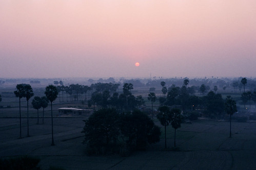
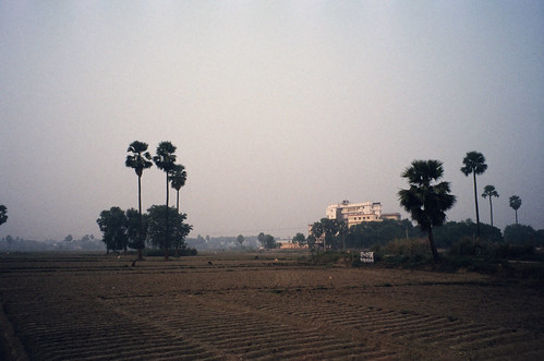
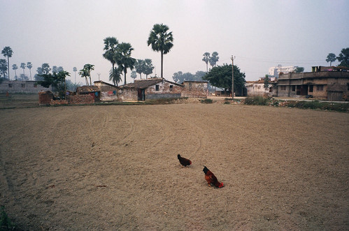
Elevation of DARIYAPUR POLICE STATION, SH73, Bela, Bihar, India
Location: India > Bihar > Saran > Bela >
Longitude: 85.036422
Latitude: 25.797882
Elevation: 55m / 180feet
Barometric Pressure: 101KPa
Related Photos:
Topographic Map of DARIYAPUR POLICE STATION, SH73, Bela, Bihar, India
Find elevation by address:

Places near DARIYAPUR POLICE STATION, SH73, Bela, Bihar, India:
Bela
Digha–sonpur Rail-road Bridge
Garkha Block Office
Danapur
Garkha
Saran
Hajipur
Dujra Diara
Pmch Bus Stop
New Area
Patna, Bihar, India
Patna University Campus
Patna
Hasanpura
Purbari Telpa
Suarmarwa
Chapra Sadar Block Office
Pahari Village
Parsa
Newaji Tola
Recent Searches:
- Elevation of Corso Fratelli Cairoli, 35, Macerata MC, Italy
- Elevation of Tallevast Rd, Sarasota, FL, USA
- Elevation of 4th St E, Sonoma, CA, USA
- Elevation of Black Hollow Rd, Pennsdale, PA, USA
- Elevation of Oakland Ave, Williamsport, PA, USA
- Elevation of Pedrógão Grande, Portugal
- Elevation of Klee Dr, Martinsburg, WV, USA
- Elevation of Via Roma, Pieranica CR, Italy
- Elevation of Tavkvetili Mountain, Georgia
- Elevation of Hartfords Bluff Cir, Mt Pleasant, SC, USA
