Elevation of Danny George Road, Danny George Rd, New Mexico, USA
Location: United States > New Mexico > Catron County >
Longitude: -108.87847
Latitude: 33.3114442
Elevation: 1465m / 4806feet
Barometric Pressure: 85KPa
Elevation Map:
Satellite Map:
Related Photos:
View from the Mogollon Rim looking west - Gila Wilderness, NM. Do yourself a treat and check out Mogollon ghost town when you're in that neck of the woods too!
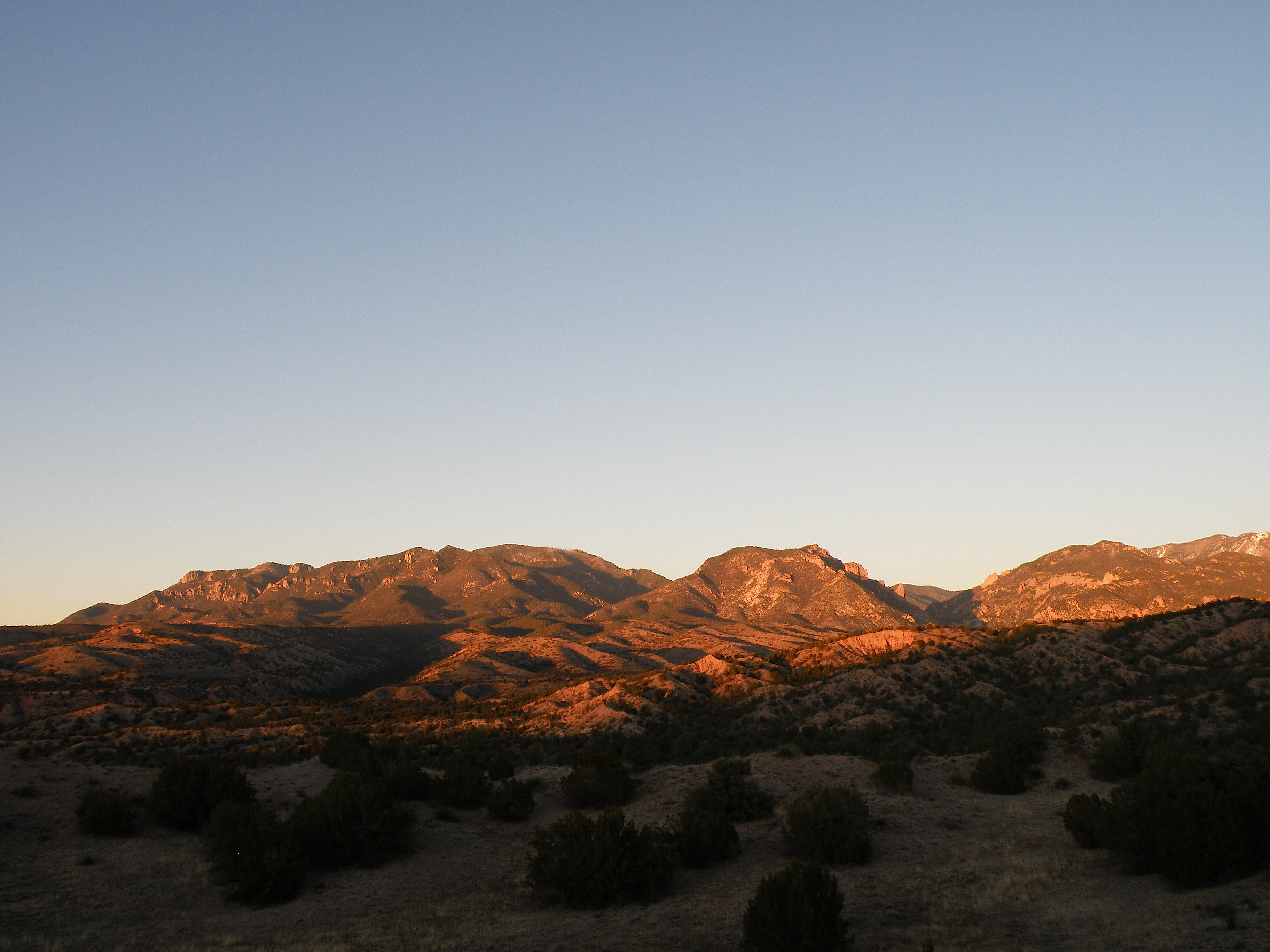
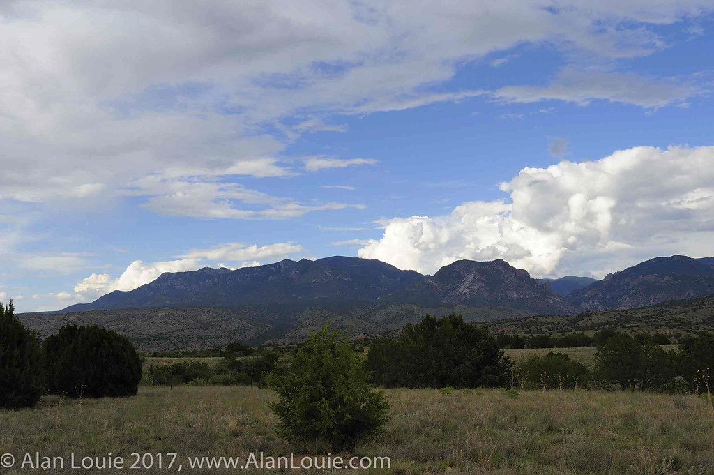
View over Gila National Forest
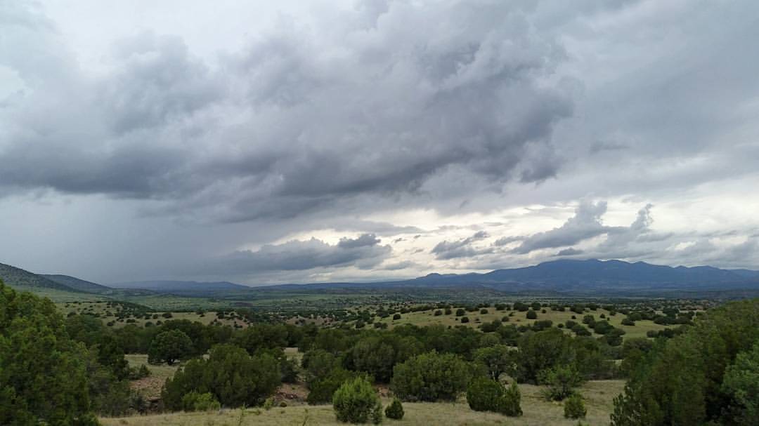
Evening in the Mogollons

Was is worth it?
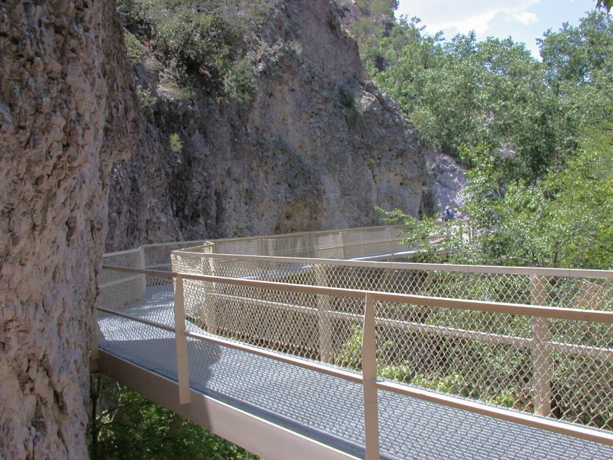
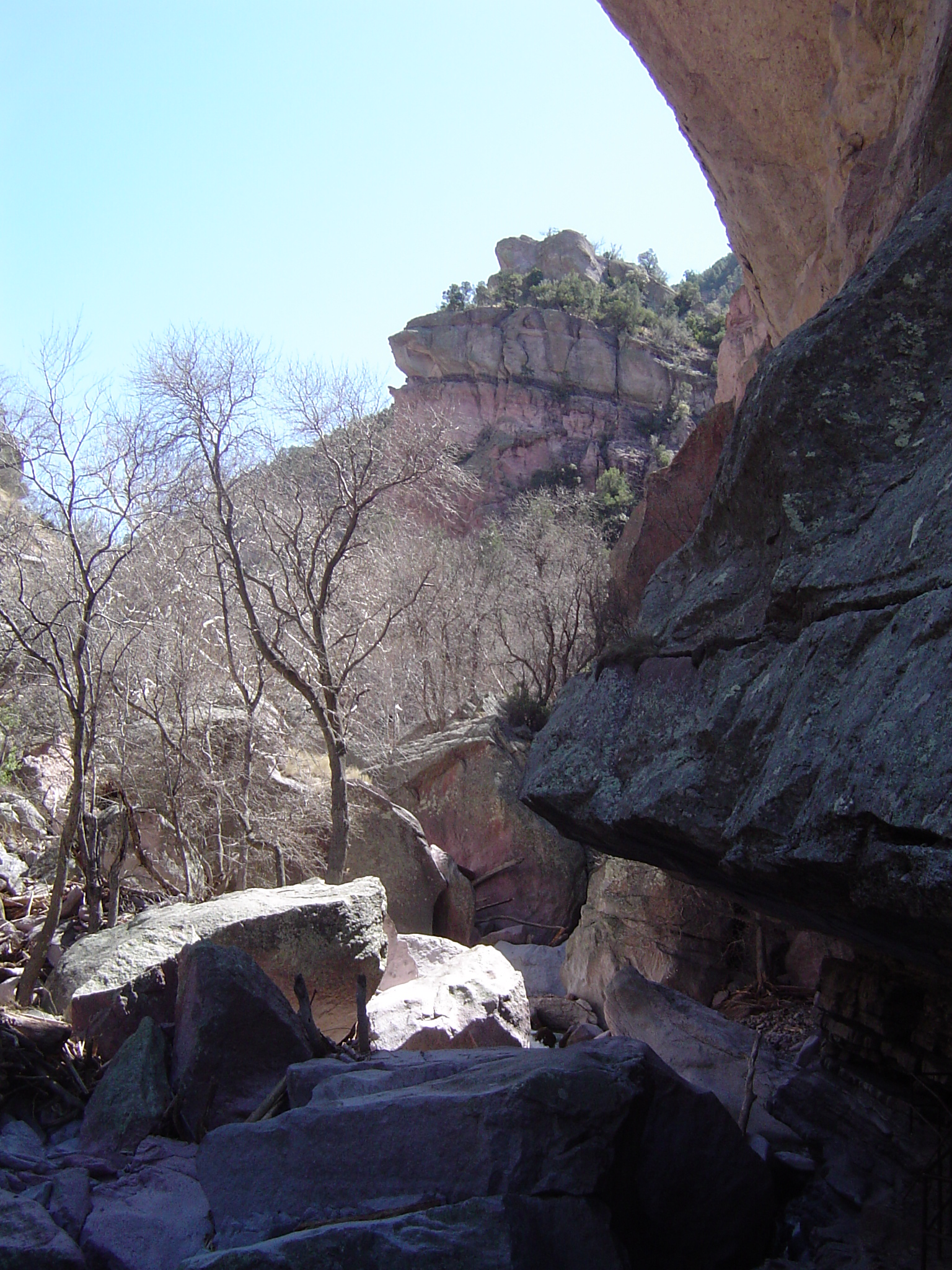
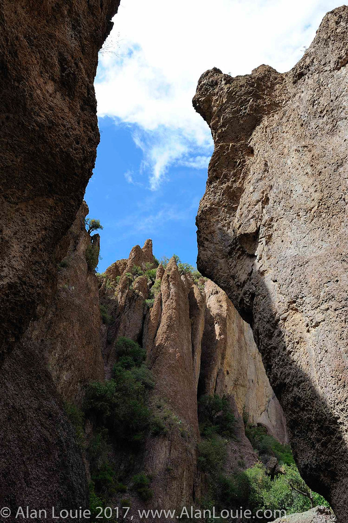
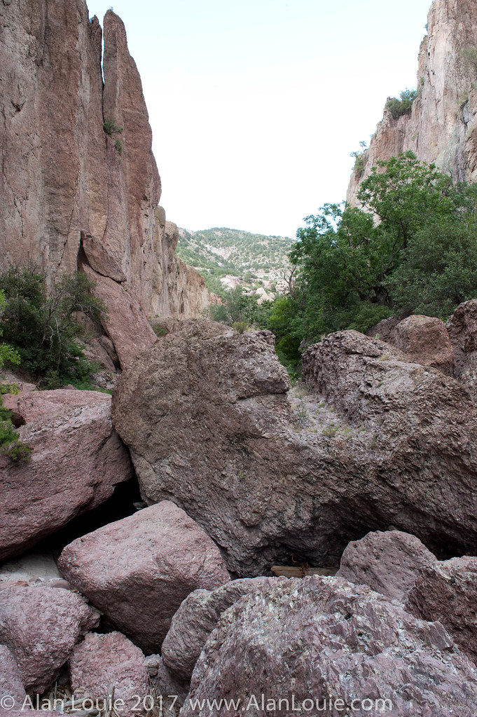
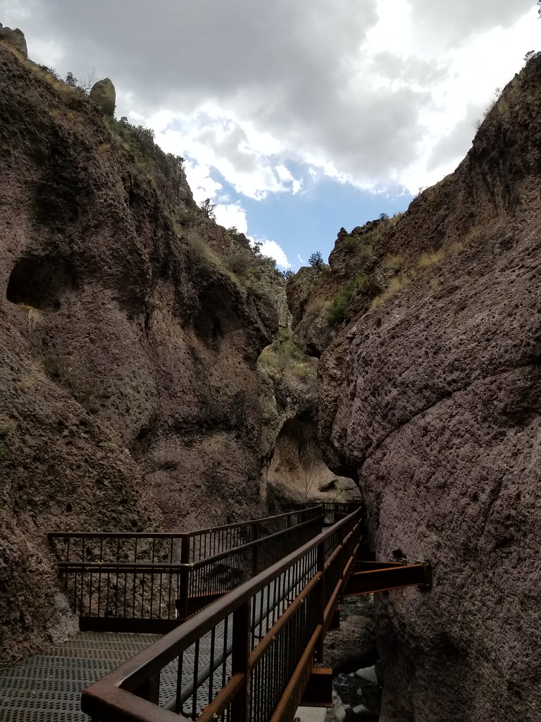
Catwalk, Gila National Monument, NM 3341a
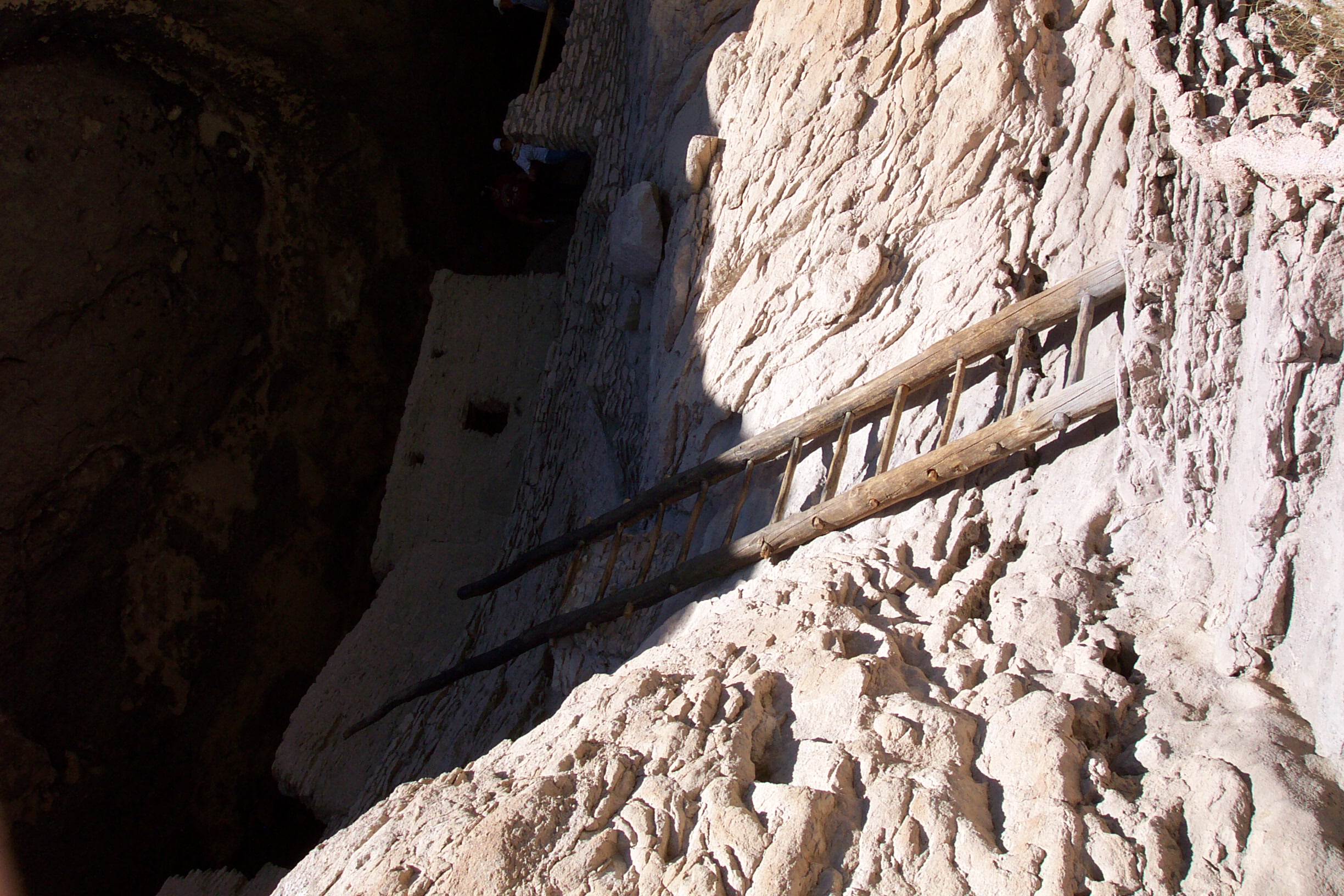
Gila Cliff Dwellings

a paradox, a paradise, a parody

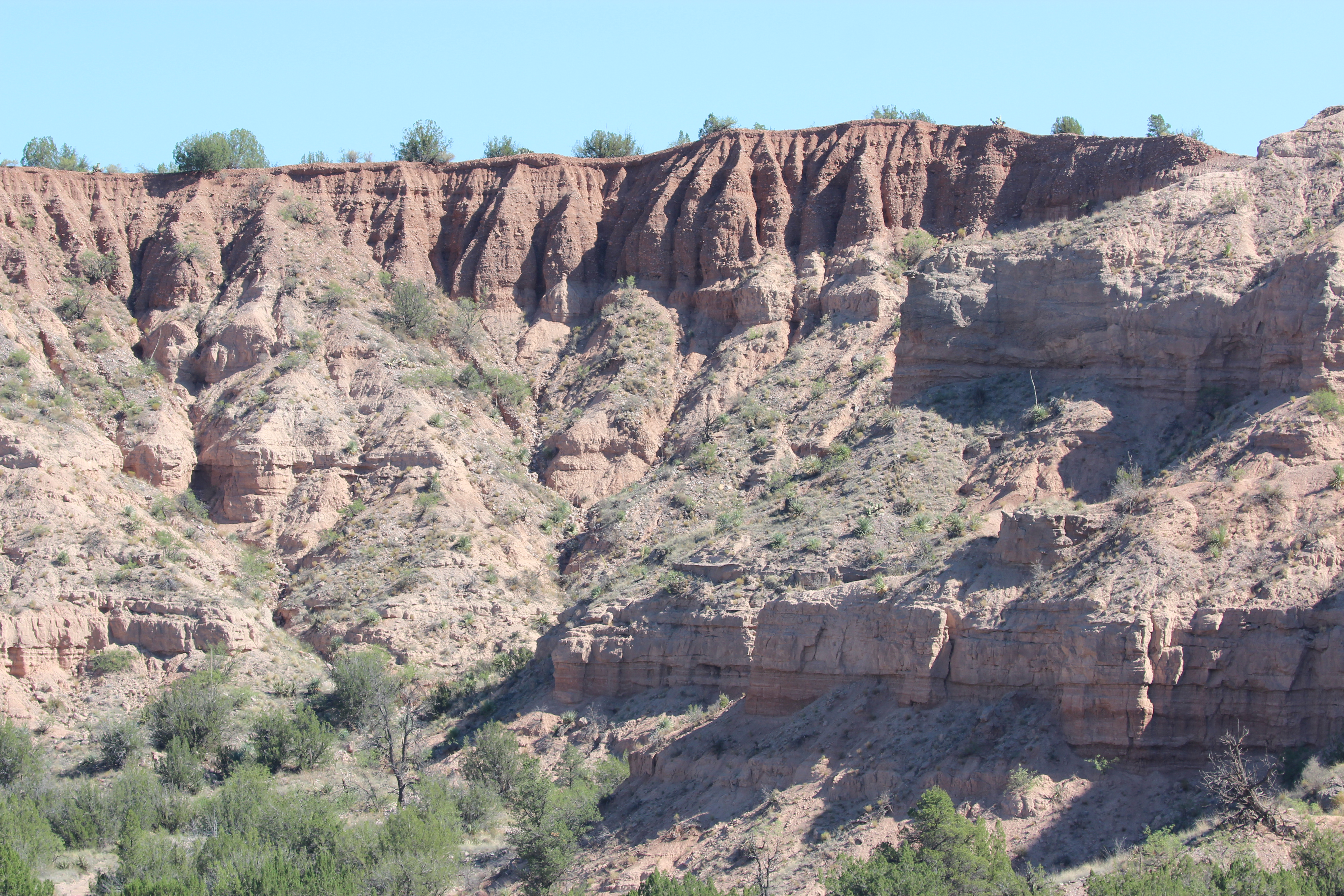
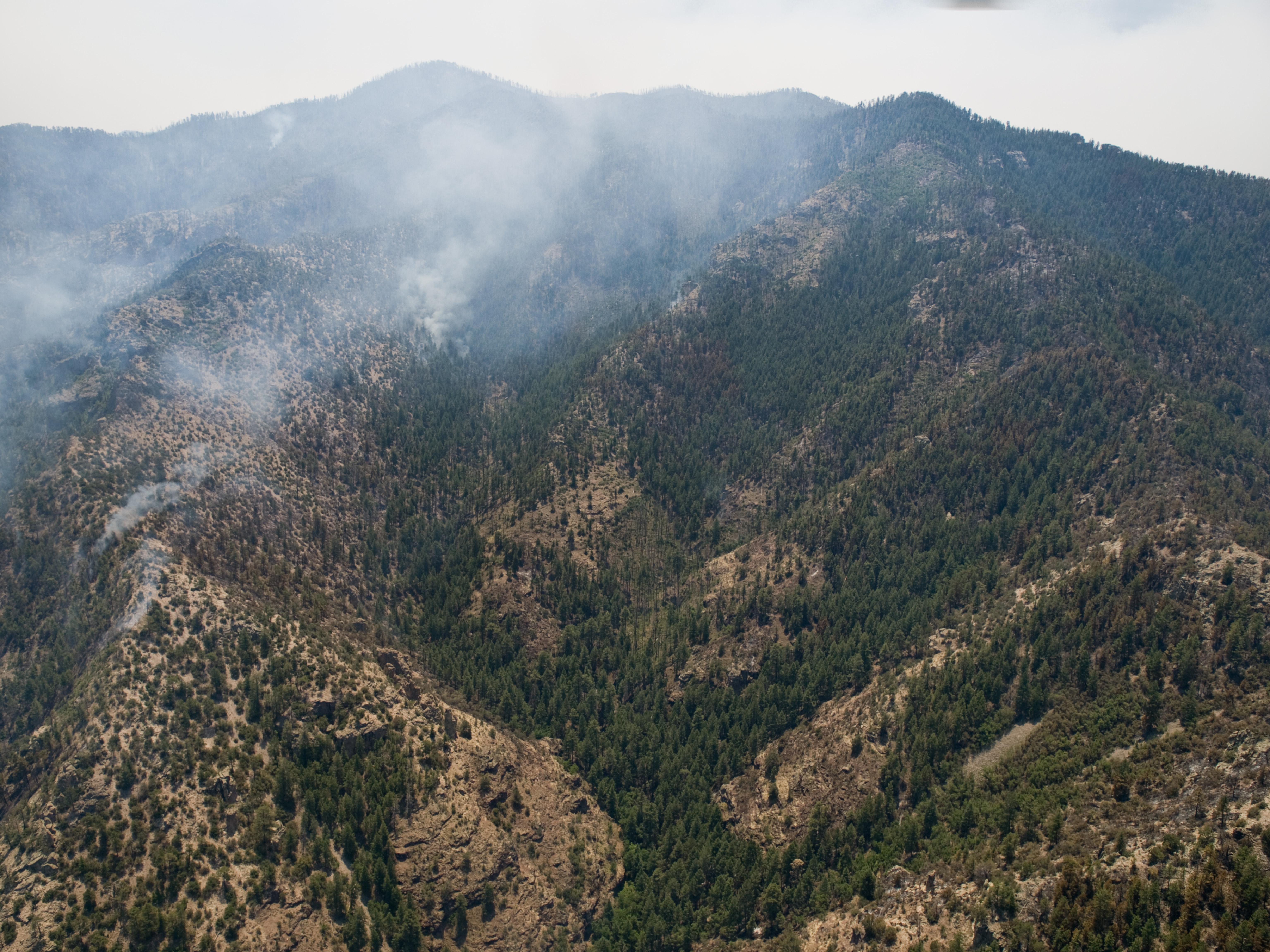
2016-06-27 Gila National Forest, Spring Mountain, Mogollon, NM
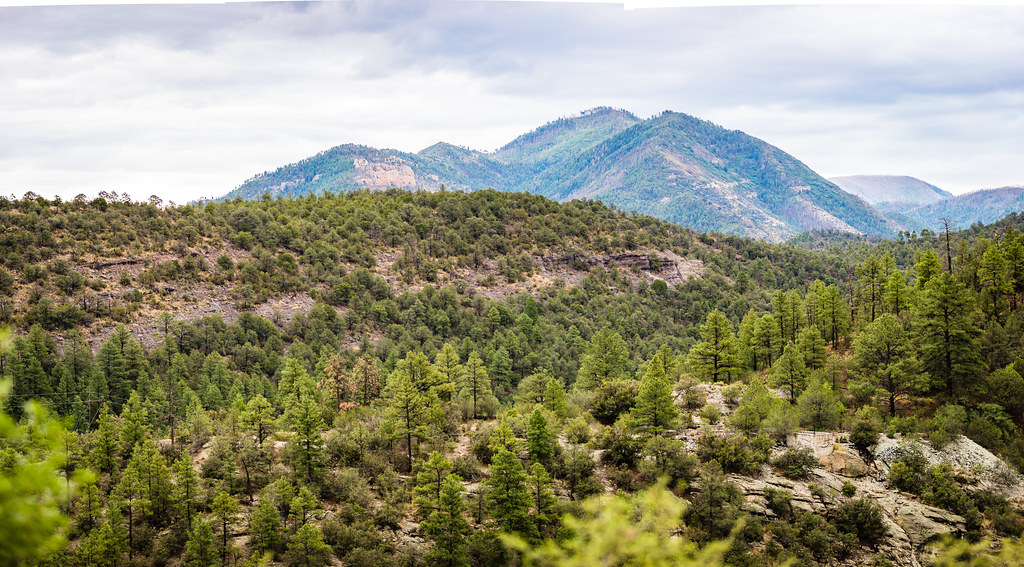
2016-06-27 Spring Mountain, Gila National Forest, New Mexico
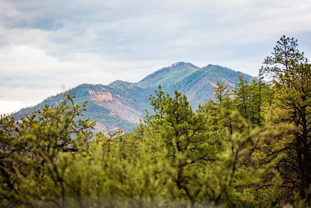
2016-06-27 Spring Mountain, Gila National Forest, New Mexico
-End of the Trail in New Mexico
NM_12-06-01_0148

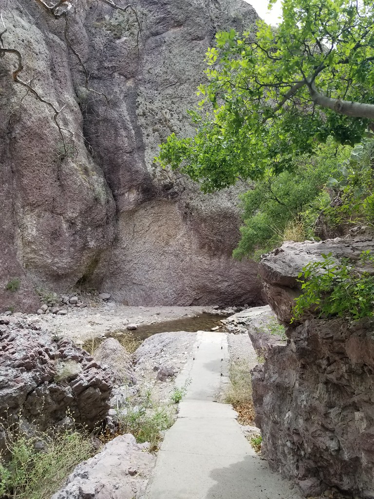
20100724 Catwalk State Park 007.jpg

20100724 Catwalk State Park 053_0.jpg
Catwalk National Recreation Area, NM. April 2018.
20100724 Catwalk State Park 007.jpg
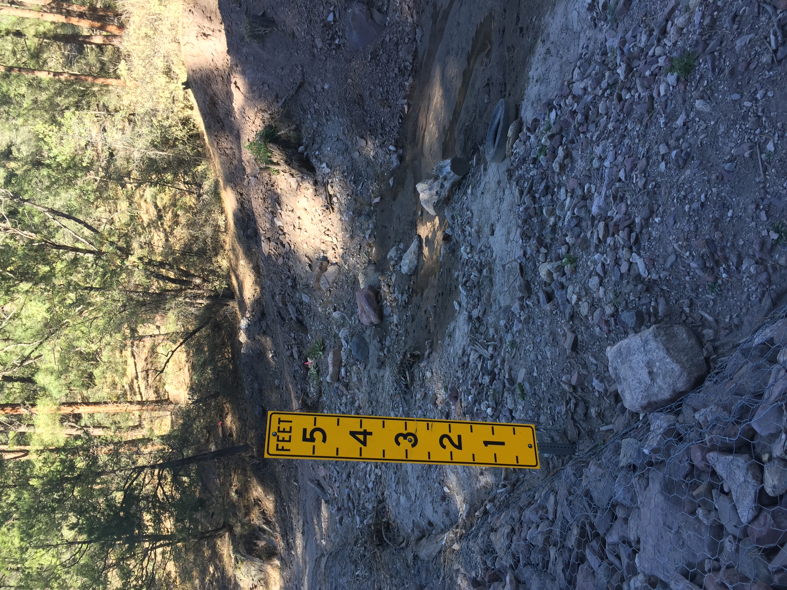
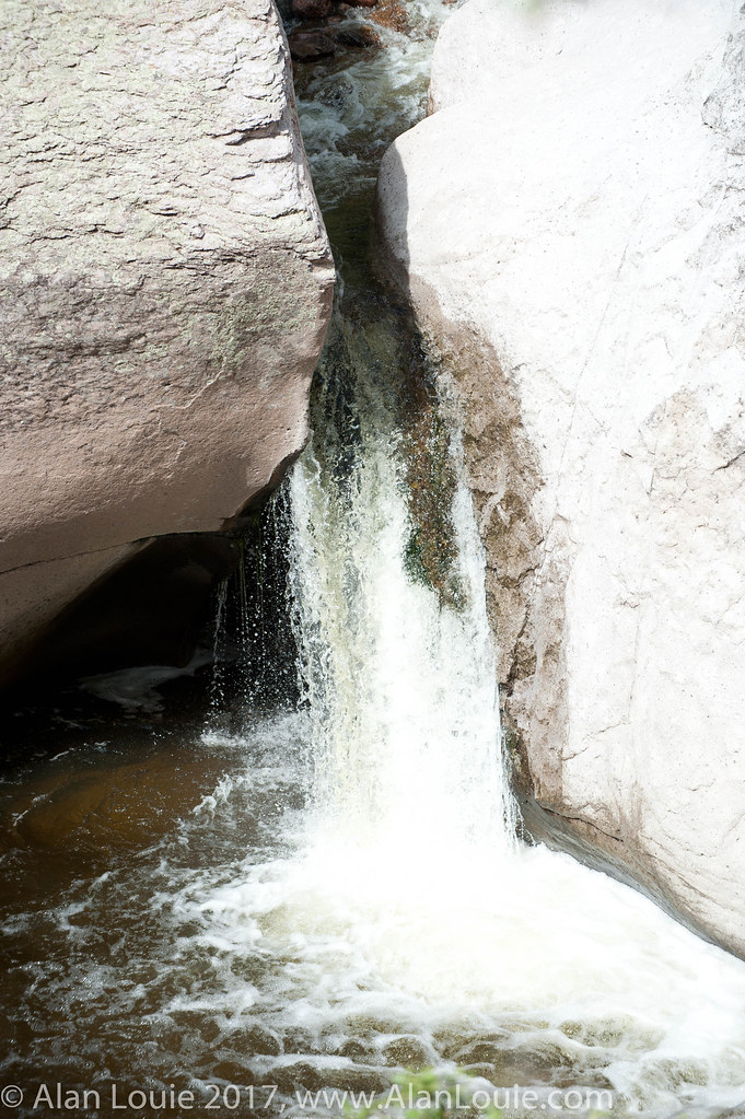
Mogollon water level up to 5feet
20100724 Catwalk State Park 017-2.jpg
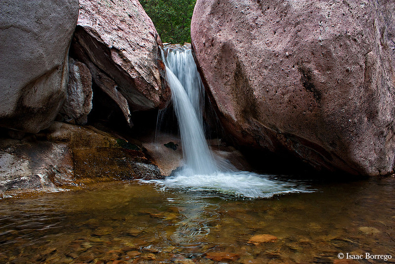
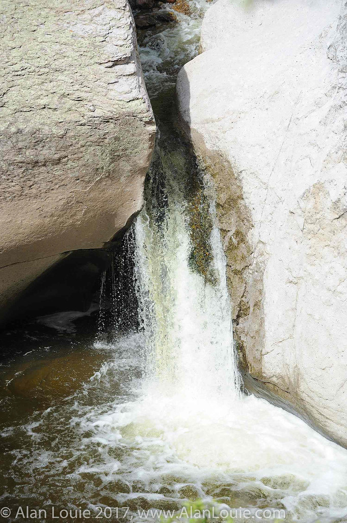
Waterfall on Whitewater Creek
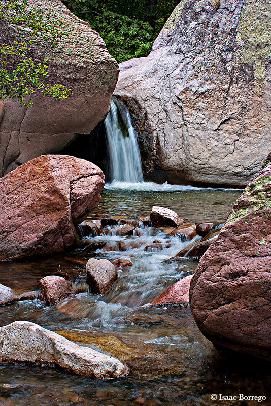
Whitewater Creek - Catwalk Canyon, New Mexico
Catwalk National Recreation Area, NM. April 2018.

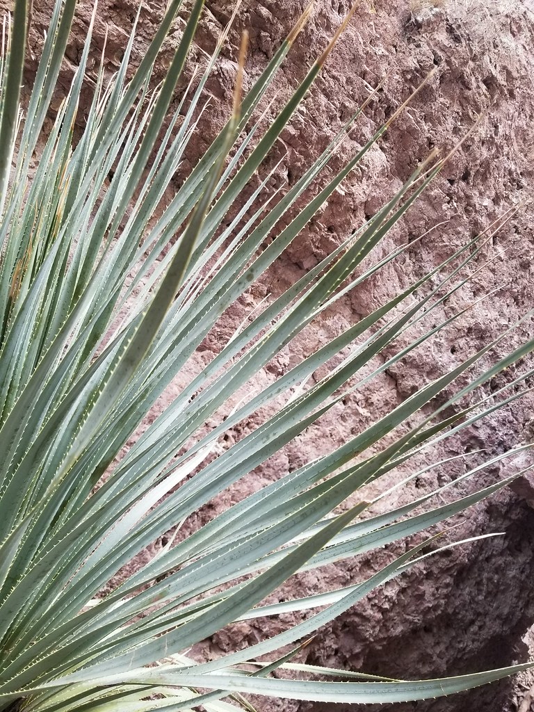
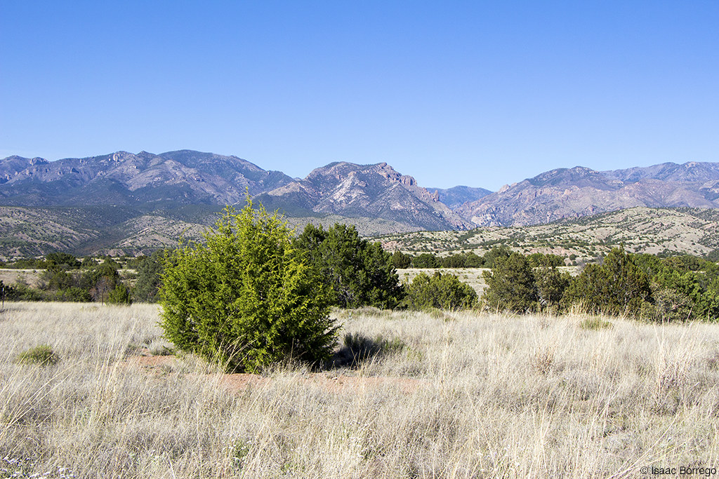
Gila Wilderness
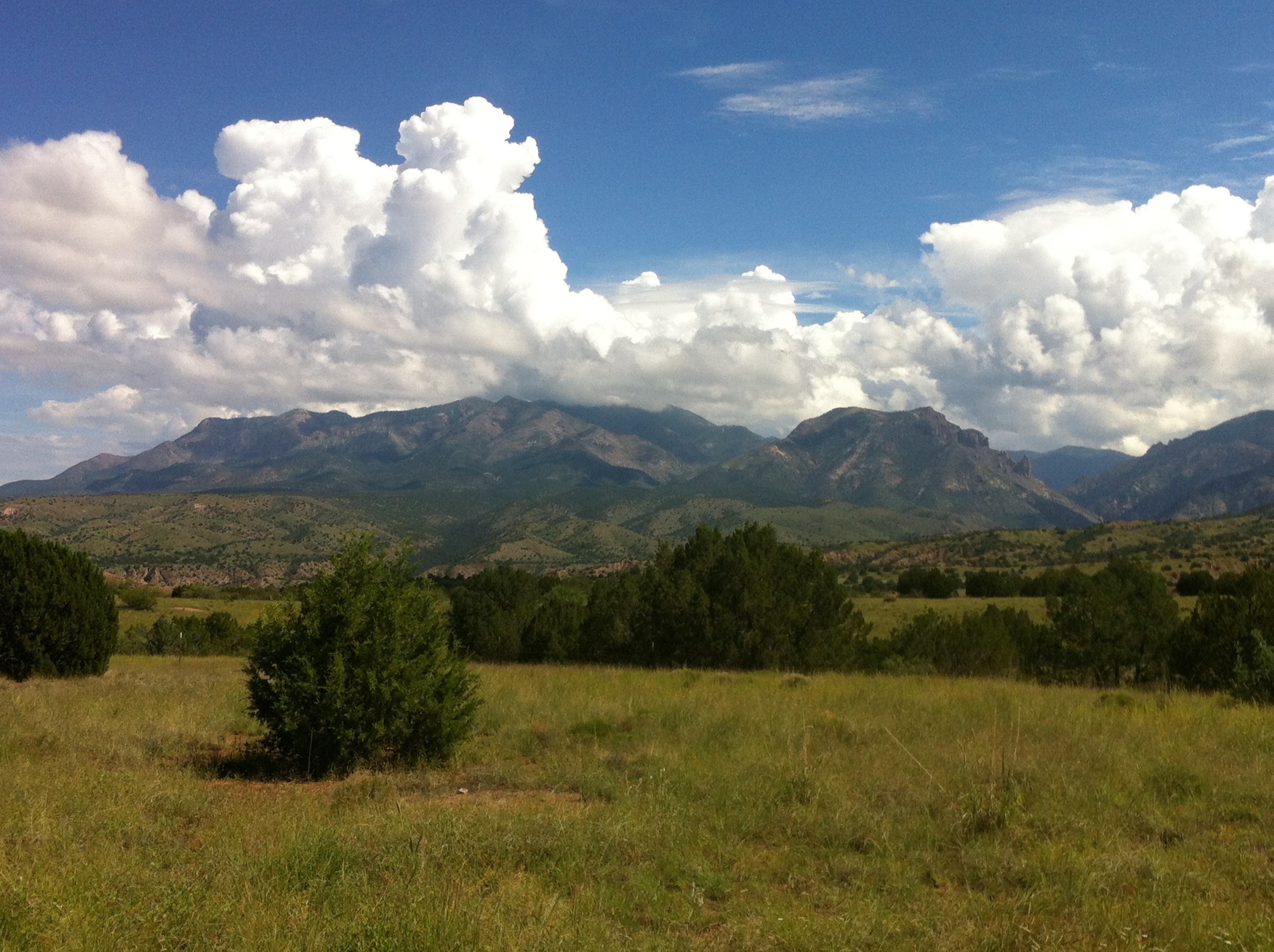
Gila Wilderness
20100724 Catwalk State Park 053_0.jpg
20100724 Catwalk State Park 048-2.jpg
Aldo Leopold Vista
Catwalk National Recreation Area, NM. April 2018.
Catwalk National Recreation Area, NM. April 2018.
NM_12-06-01_0496

NM_12-06-01_0496
20100724 Catwalk State Park 001.jpg
20100724 Catwalk State Park 017_0.jpg
Topographic Map of Danny George Road, Danny George Rd, New Mexico, USA
Find elevation by address:

Places near Danny George Road, Danny George Rd, New Mexico, USA:
Glenwood
Alma
Catwalk Recreation Area
Sundial Mountain
Nabours Mountain
Holt Mountain
6034 Us-180
Outlaw Mountain
Sheridan Mountain
Fannie Hill
Silver Peak
Aldo Leopold Vista Picnic Area (recgovnpsdata)
Cosmic Campground
Sacaton Mountain
Lost Lake Mountain
Mule Creek
Mule Mountains Hp
Haystack Mountain
Maple Peak
Mogollon Divide
Recent Searches:
- Elevation of Corso Fratelli Cairoli, 35, Macerata MC, Italy
- Elevation of Tallevast Rd, Sarasota, FL, USA
- Elevation of 4th St E, Sonoma, CA, USA
- Elevation of Black Hollow Rd, Pennsdale, PA, USA
- Elevation of Oakland Ave, Williamsport, PA, USA
- Elevation of Pedrógão Grande, Portugal
- Elevation of Klee Dr, Martinsburg, WV, USA
- Elevation of Via Roma, Pieranica CR, Italy
- Elevation of Tavkvetili Mountain, Georgia
- Elevation of Hartfords Bluff Cir, Mt Pleasant, SC, USA