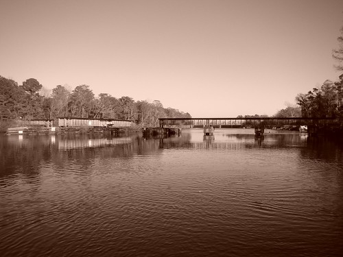
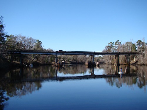
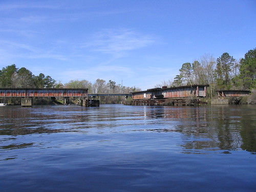
Elevation of Daniel Rd, Rocky Point, NC, USA
Location: United States > North Carolina > Pender County > Rocky Point > Rocky Point >
Longitude: -77.828509
Latitude: 34.487036
Elevation: -10000m / -32808feet
Barometric Pressure: 0KPa
Related Photos:
Topographic Map of Daniel Rd, Rocky Point, NC, USA
Find elevation by address:

Places near Daniel Rd, Rocky Point, NC, USA:
Brick Chimney Landing
317 Bottle Branch Dr
66 Red Hawk Ln
212 Horseshoe Loop Rd
103 Exeter Ct
1 N Holly Shelter Estate Rd
New Rd, Burgaw, NC, USA
6928 Stag Park Rd
Pender County
101 Hawk Hollow Trail
694 Lanier Ave
83 W Waverly Dr
Ashton Rd, Burgaw, NC, USA
165 Copperhead Ln
2624 Stag Park Rd
Over Street
4000 Whitestocking Rd
3500 Whitestocking Rd
Burgaw
3000 Whitestocking Rd
Recent Searches:
- Elevation of North 8th Street, Palatka, Putnam County, Florida, 32177, USA
- Elevation of 107, Big Apple Road, East Palatka, Putnam County, Florida, 32131, USA
- Elevation of Jiezi, Chongzhou City, Sichuan, China
- Elevation of Chongzhou City, Sichuan, China
- Elevation of Huaiyuan, Chongzhou City, Sichuan, China
- Elevation of Qingxia, Chengdu, Sichuan, China
- Elevation of Corso Fratelli Cairoli, 35, Macerata MC, Italy
- Elevation of Tallevast Rd, Sarasota, FL, USA
- Elevation of 4th St E, Sonoma, CA, USA
- Elevation of Black Hollow Rd, Pennsdale, PA, USA
- Elevation of Oakland Ave, Williamsport, PA, USA
- Elevation of Pedrógão Grande, Portugal
- Elevation of Klee Dr, Martinsburg, WV, USA
- Elevation of Via Roma, Pieranica CR, Italy
- Elevation of Tavkvetili Mountain, Georgia
- Elevation of Hartfords Bluff Cir, Mt Pleasant, SC, USA
- Elevation of SW Barberry Dr, Beaverton, OR, USA
- Elevation of Old Ahsahka Grade, Ahsahka, ID, USA
- Elevation of State Hwy F, Pacific, MO, USA
- Elevation of Chemin de Bel air, Chem. de Bel air, Mougins, France


