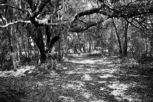
Elevation of Dan Trail, Hawthorne, FL, USA

Location: United States > Florida > Putnam County > Hawthorne >

Longitude: -81.993114

Latitude: 29.616844

Elevation: 45m / 148feet

Barometric Pressure: 101KPa

Elevation Map:

elevation map of Dan Trail, Hawthorne, FL, USA

Satellite Map:

Satellite map of Dan Trail, Hawthorne, FL, USA

Related Photos:

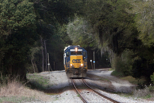
csx
A781 2014-3-20 Johnson Fla David T Moore
cameraphone camera lake amanda eye feet apple water wonderful foot shoe dock shoes couple sitting phone looking view floor legs bare perspective ground down surface 3g barefoot moment bliss phones iview iphone leggs fromaphoneseyeview
A Wonderful Moment
cameraphone camera eye feet apple shoe dock shoes phone looking view floor legs florida bare perspective disposal ground down surface 3g barefoot block fl cinderblock bodies phones cinder iview iphone fromaphoneseyeview
This is How We Dispose of the Bodies
cameraphone camera wood lake eye feet apple shoe dock shoes phone looking view floor legs florida bare perspective ground down surface 3g barefoot fl hawthorne phones iview iphone mcmeekin fromaphoneseyeview
Lord have mercy, I'm a boy from down in the boondocks,
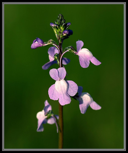
plants nature flora florida alachuacounty linariacanadensis canadatoadflax
Linaria canadensis
cameraphone camera wood eye feet apple shoe saw log shoes phone looking view floor legs perspective logs ground down surface sneakers deck 3g fl firewood phones iview hacksaw iphone fromaphoneseyeview
Ain't Gonna Cut It...
cameraphone camera lake eye feet apple water shoe weeds shoes phone looking view floor legs florida perspective ground down surface 3g shore edge fl phones iview iphone mcmeekin fromaphoneseyeview
Distance to McMeekin Lake: 2 Inches...
florida putnamcounty posrus ©lancetaylor
Lake View Hotel-Smith House Interlachen FL
cameraphone camera eye feet apple cup socks shoe shoes phone looking view floor dish legs perspective plate ground down surface 3g cups dishwasher plates dishes washer phones iview iphone fromaphoneseyeview
Wish I Had This at Home...
square squareformat amaro iphoneography instagramapp uploaded:by=instagram foursquare:venue=4c24893cc11dc9b6998e2524
Serenity ☺
panorama usa geotagged unitedstates florida hawthorne soundwalk alachua soundscape plumcreek josegarrido campville environmentalsoundscapes 4x7landscape geo:lat=2964571939 geo:lon=8214742541
Tabula rasa
florida melrose unitedstates
Melrose “swimming hole”
silhouette landscapes florida nightscapes waterscapes wildfloridastormcontest
Florida paradise
florida melrose 365 iphone
20110326 - 281 - Melrose Open Air Arts
summer swimming lakehouse interlachen juniorlake juniorlakeinterlachen
Lake House 2013
camp lake church swan community florida cia ucc upland uplandcc uplandccorg moorealx moorealxcom
20080323_Florida_BeachDay (4)
wedding swanlake 2010
20100313_Melrose@FL_Swan Lake House_014_nEO
cooperphotoscom
DSC_0991+a
wedding swanlake 2010
20100313_Melrose@FL_Swan Lake House_009_nEO
wild terrain forest natural florida wilderness ocalanationalforest northcentralflorida
Lake Ocklawaha or Rodman Reservoir
Lochloosa Creek at Short Bridge
Lake Oklawaha RV Park 3 Dec 2014 4
Project 365- 351-365
Lake Oklawaha RV Park 4 Dec 2014 31
Lake Oklawaha RV Park 4 Dec 2014 16
blue brown black green water grass rural reeds weeds country samsungs630
Fuzzy Muckers
Lake Oklawaha RV Park 3 Dec 2014 1
summer swimming lakehouse interlachen juniorlake juniorlakeinterlachen
Lake House 2013