Elevation map of Damxung, Lhasa, Tibet, China
Location: China > Tibet > Lhasa >
Longitude: 91.101162
Latitude: 30.473119
Elevation: 4293m / 14085feet
Barometric Pressure: 59KPa
Elevation Map:
Satellite Map:
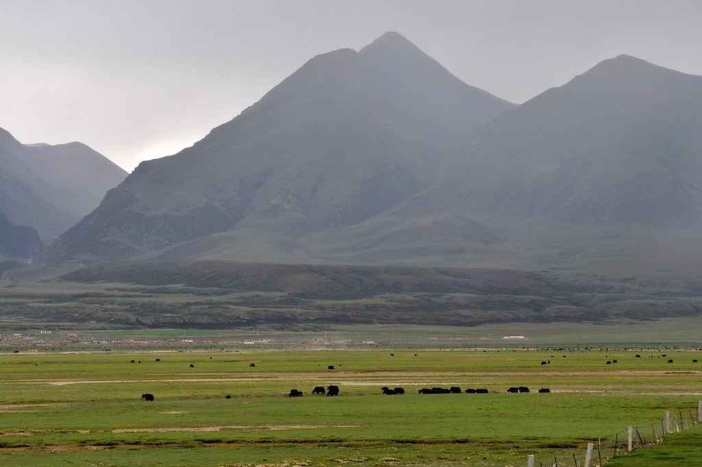
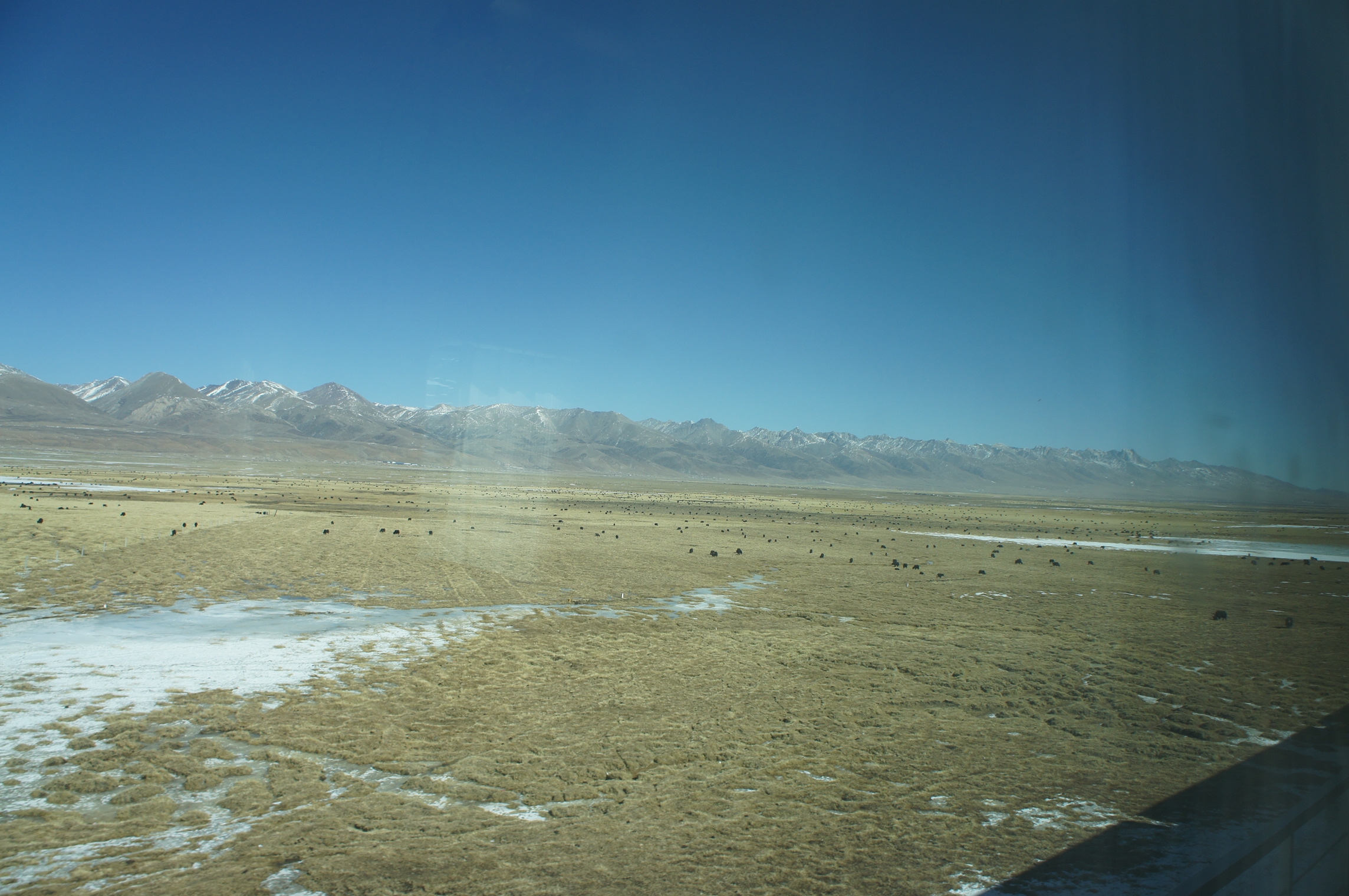
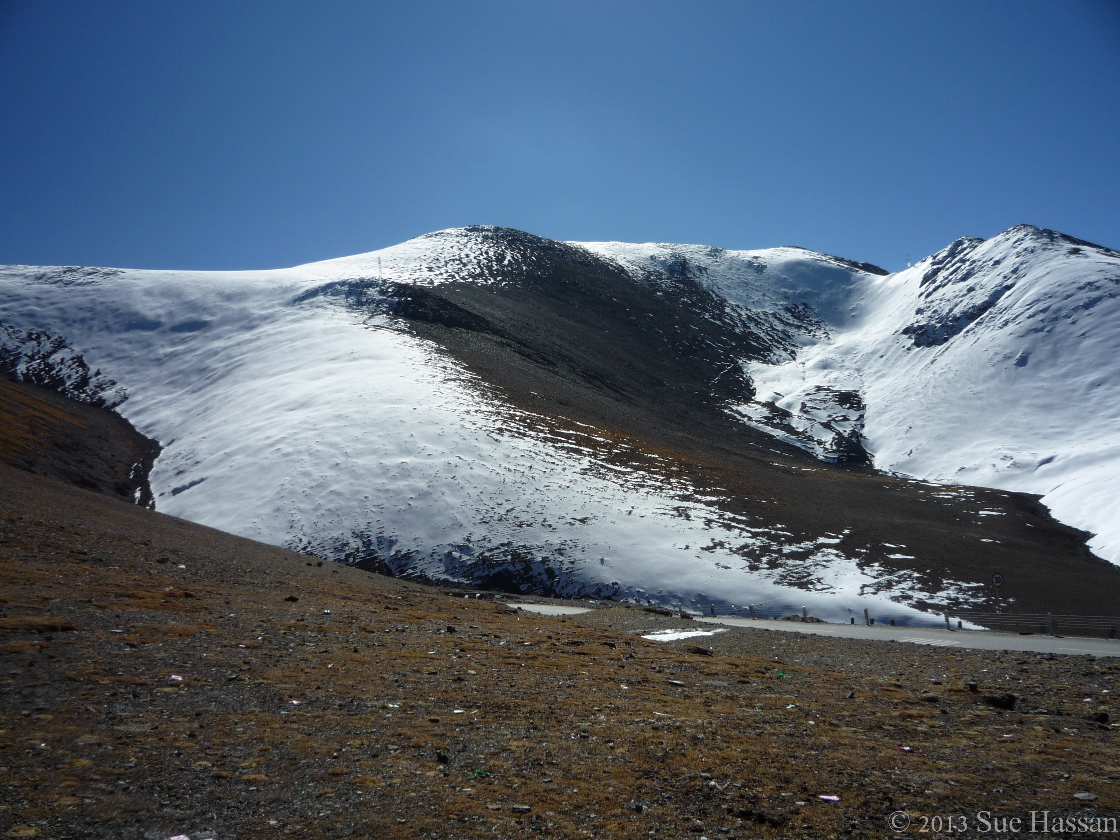
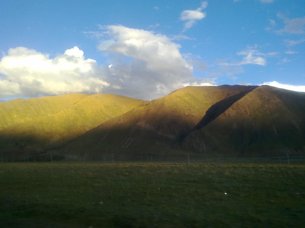
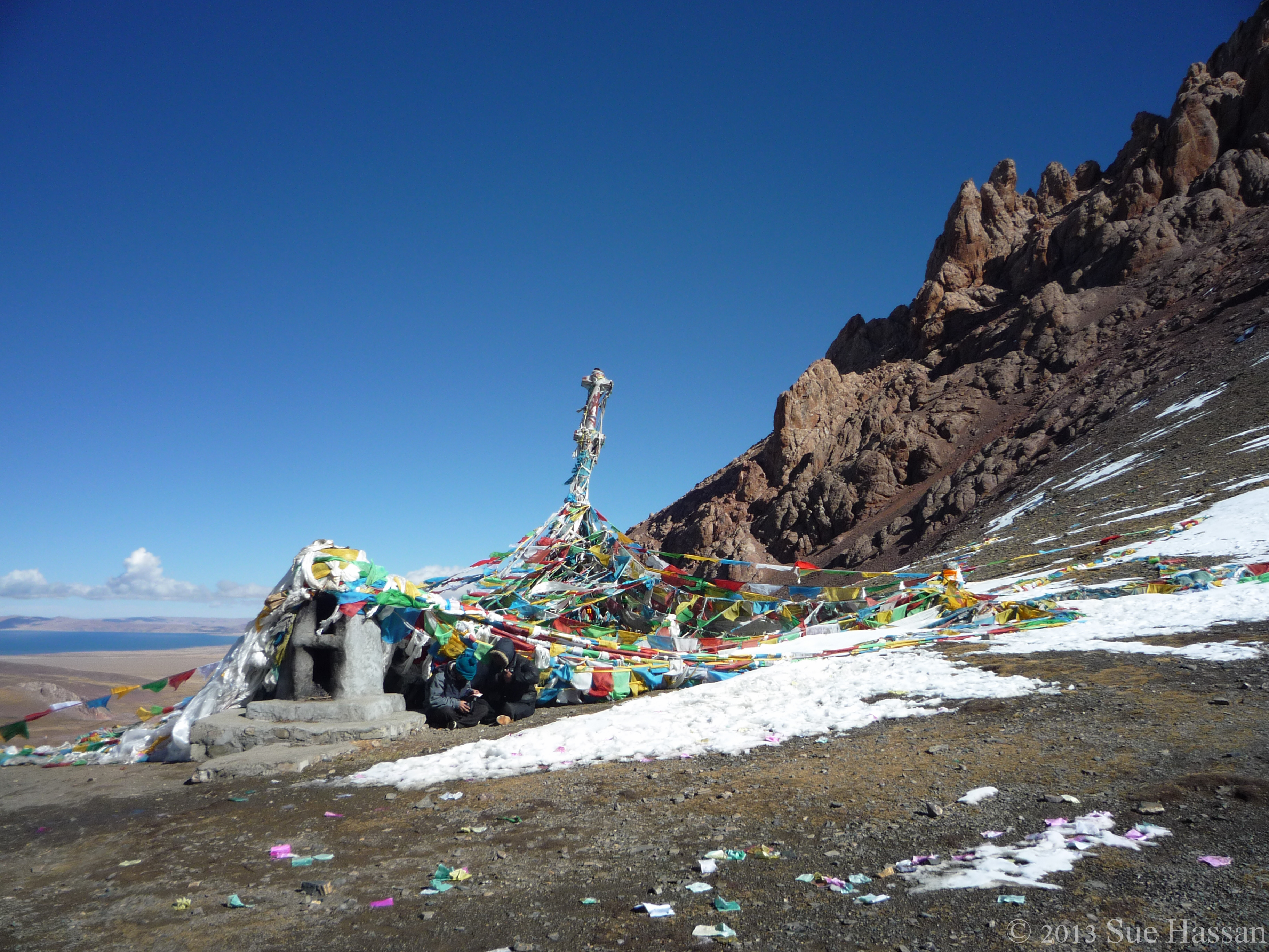
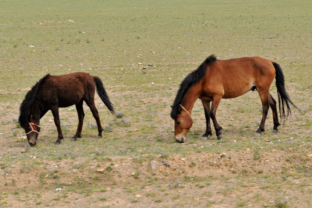
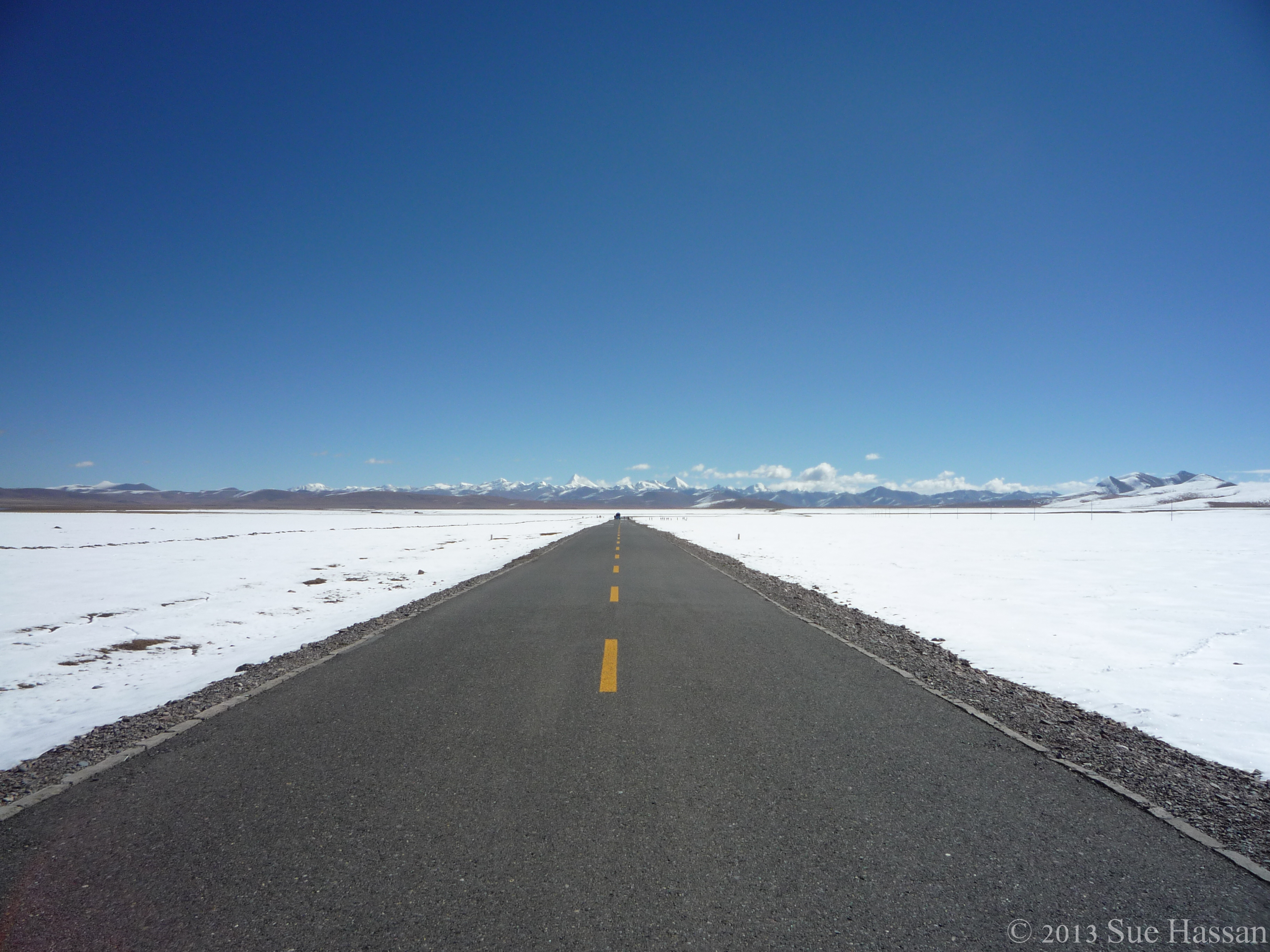
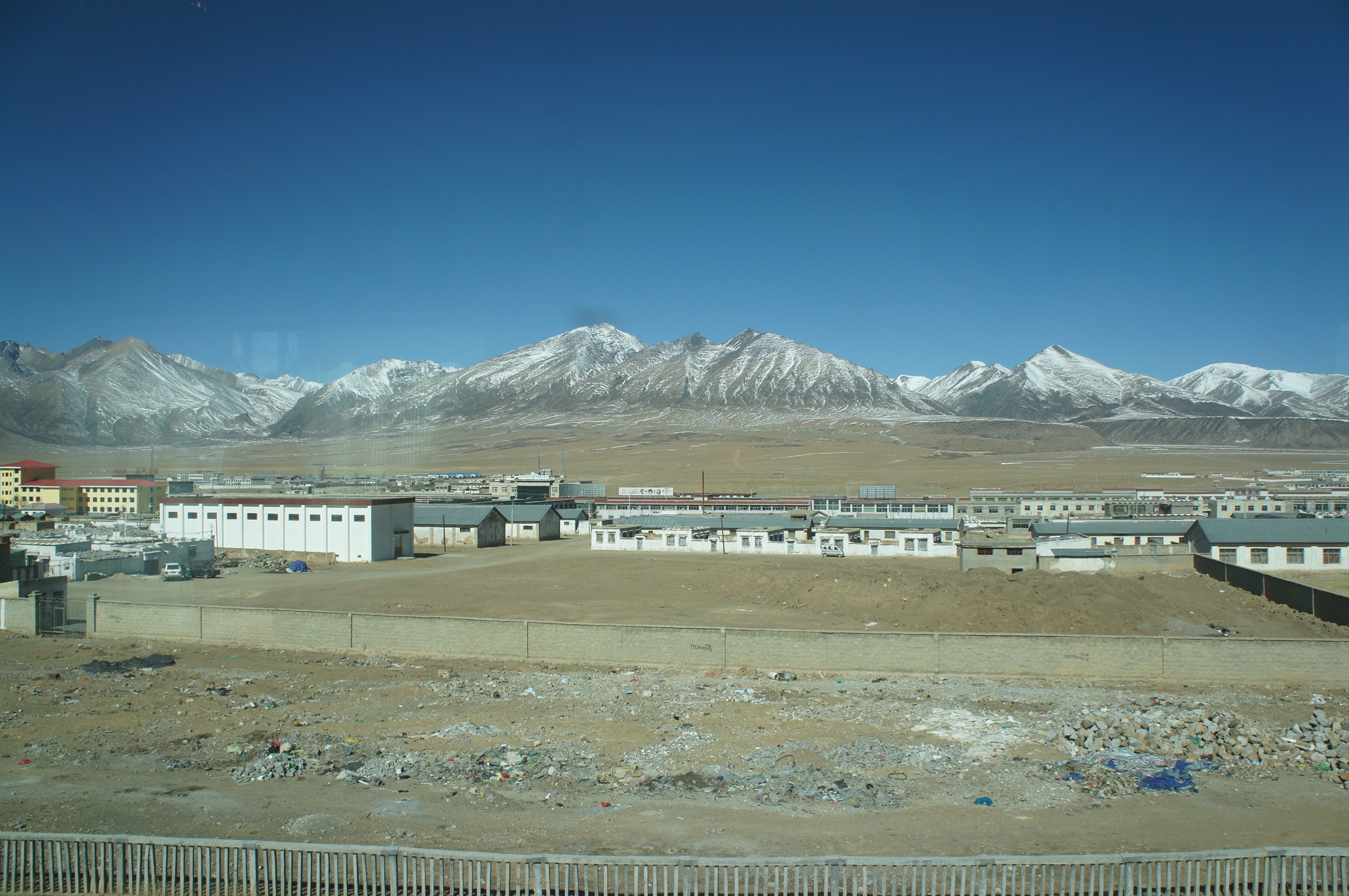
Related Photos:

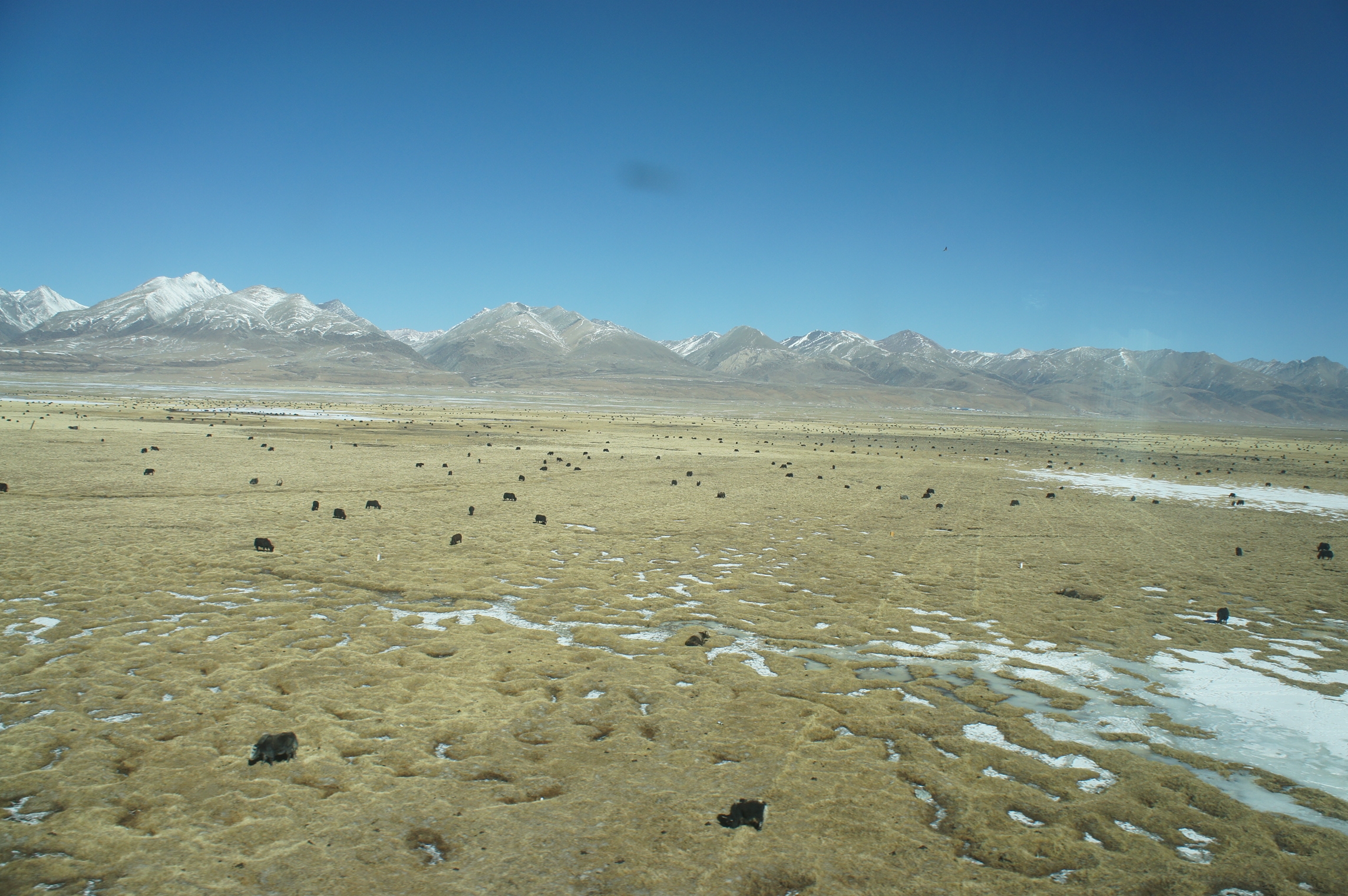
馳騁原野 Driving on the plateau
DSC_8689 - Version 2

吃早餐
DSC01456 (1)
P1040629.jpg
这个时候就快天黑了…
P1040632.jpg
DSC_8568 - Version 2
P1040653.jpg

140613 青藏鐵路那曲往當雄
DSC01463 (1)
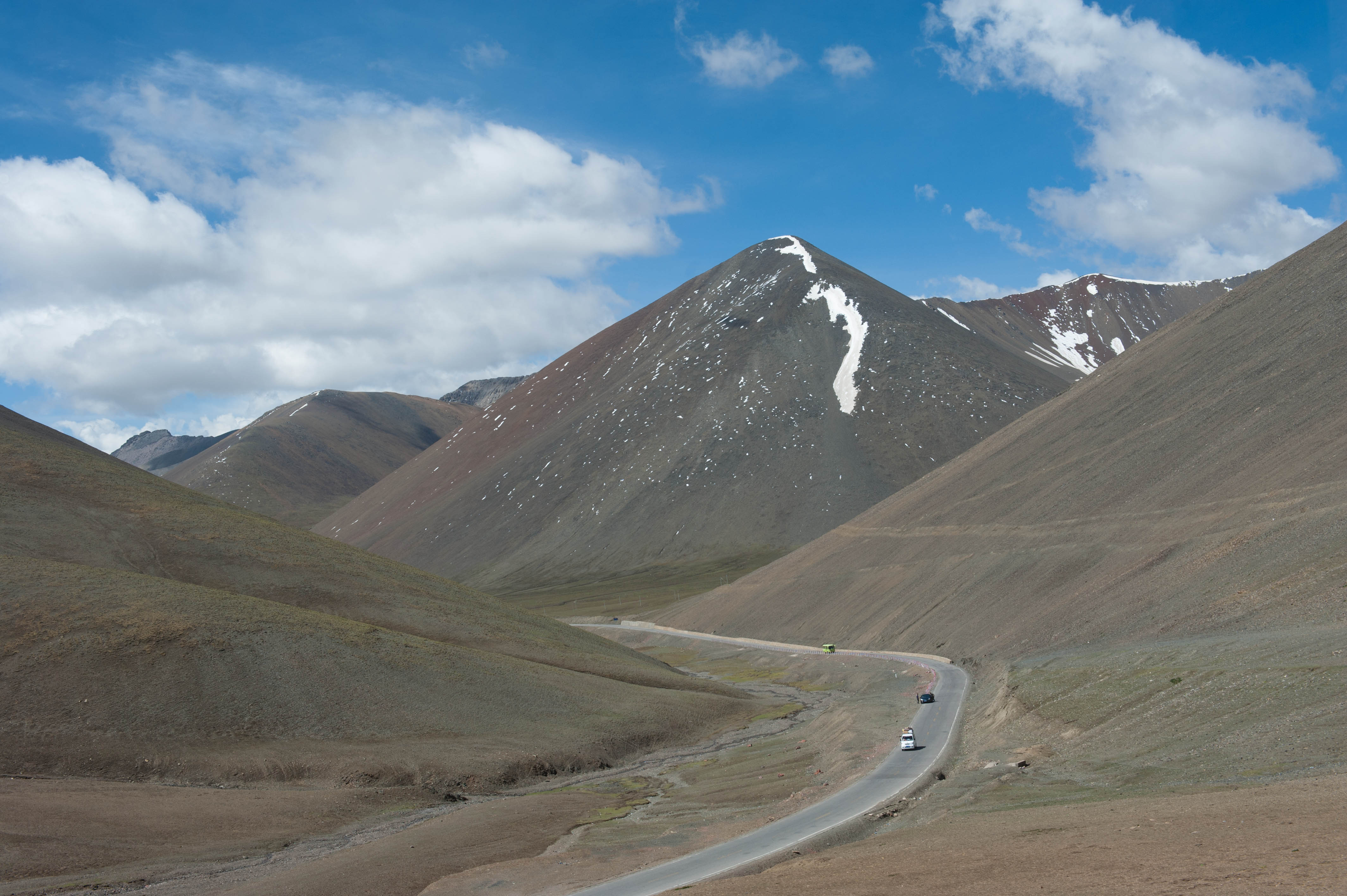
Road to Namtso
DSC01455 (1)

140613 青藏鐵路那曲往當雄

140613 青藏鐵路那曲往當雄

140613 青藏鐵路那曲往當雄
Topographic Map of Damxung, Lhasa, Tibet, China
Find elevation by address:

Places in Damxung, Lhasa, Tibet, China:
Places near Damxung, Lhasa, Tibet, China:
Recent Searches:
- Elevation of Corso Fratelli Cairoli, 35, Macerata MC, Italy
- Elevation of Tallevast Rd, Sarasota, FL, USA
- Elevation of 4th St E, Sonoma, CA, USA
- Elevation of Black Hollow Rd, Pennsdale, PA, USA
- Elevation of Oakland Ave, Williamsport, PA, USA
- Elevation of Pedrógão Grande, Portugal
- Elevation of Klee Dr, Martinsburg, WV, USA
- Elevation of Via Roma, Pieranica CR, Italy
- Elevation of Tavkvetili Mountain, Georgia
- Elevation of Hartfords Bluff Cir, Mt Pleasant, SC, USA