Elevation of Dalbandin Airport, Dalbandin, Chagai, Balochistan, Pakistan
Location: Pakistan > Balochistan > Chagai > Dalbandin > Dalbandin >
Longitude: 64.4015262
Latitude: 28.8742887
Elevation: 848m / 2782feet
Barometric Pressure: 92KPa
Elevation Map:
Satellite Map:
Related Photos:
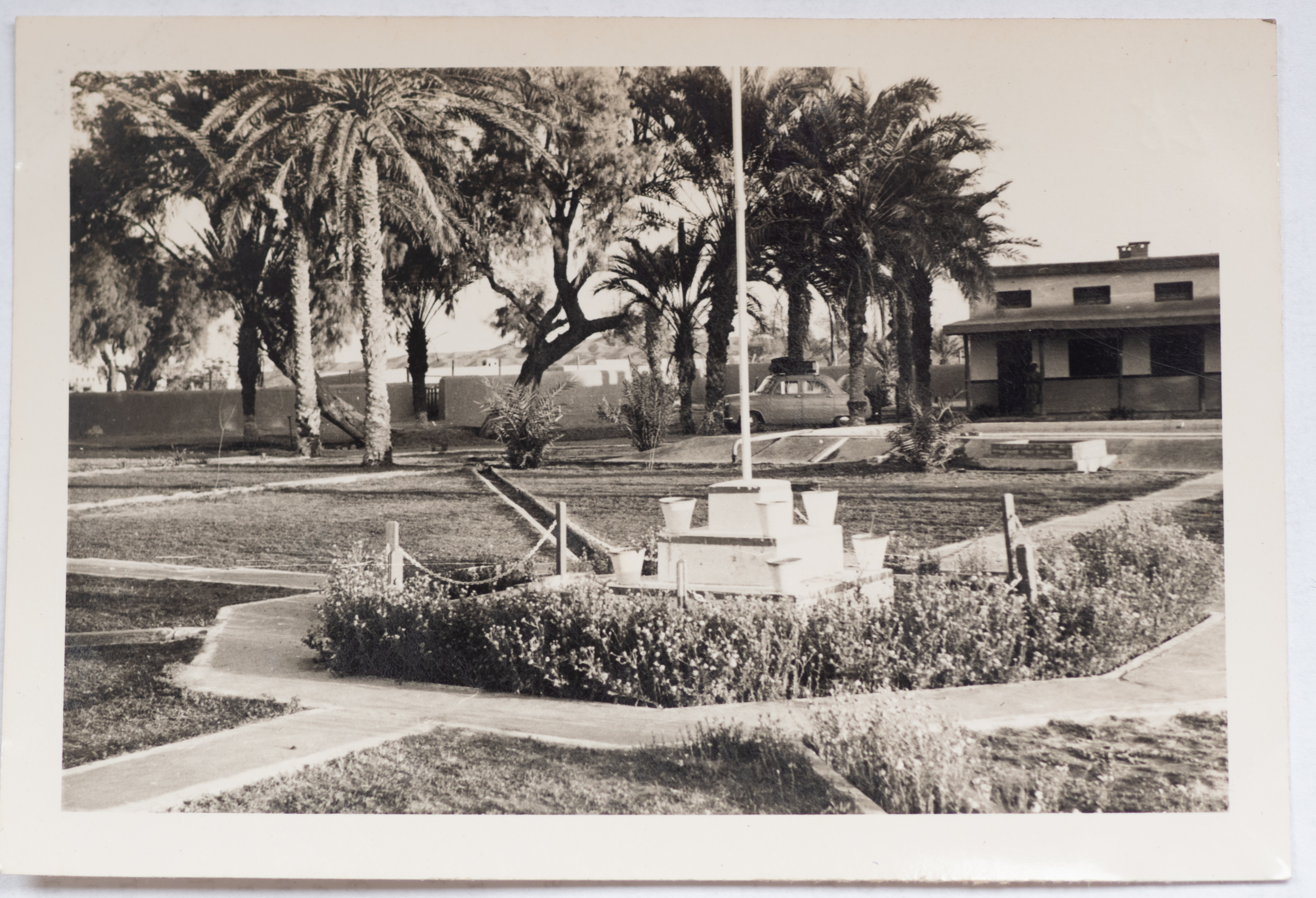
Dak Bungalow at Dalbandin - 220m west of Quetta 5 April 1955

Dak Bungalow at Dalbandin - 220m west of Quetta 5 April 1955
Topographic Map of Dalbandin Airport, Dalbandin, Chagai, Balochistan, Pakistan
Find elevation by address:

Places near Dalbandin Airport, Dalbandin, Chagai, Balochistan, Pakistan:
Recent Searches:
- Elevation of Corso Fratelli Cairoli, 35, Macerata MC, Italy
- Elevation of Tallevast Rd, Sarasota, FL, USA
- Elevation of 4th St E, Sonoma, CA, USA
- Elevation of Black Hollow Rd, Pennsdale, PA, USA
- Elevation of Oakland Ave, Williamsport, PA, USA
- Elevation of Pedrógão Grande, Portugal
- Elevation of Klee Dr, Martinsburg, WV, USA
- Elevation of Via Roma, Pieranica CR, Italy
- Elevation of Tavkvetili Mountain, Georgia
- Elevation of Hartfords Bluff Cir, Mt Pleasant, SC, USA