Elevation map of Dakshina Kannada, Karnataka, India
Location: India > Karnataka >
Longitude: 75.2479061
Latitude: 12.8437814
Elevation: 43m / 141feet
Barometric Pressure: 101KPa
Elevation Map:
Satellite Map:
Related Photos:

ES-366234 to IN
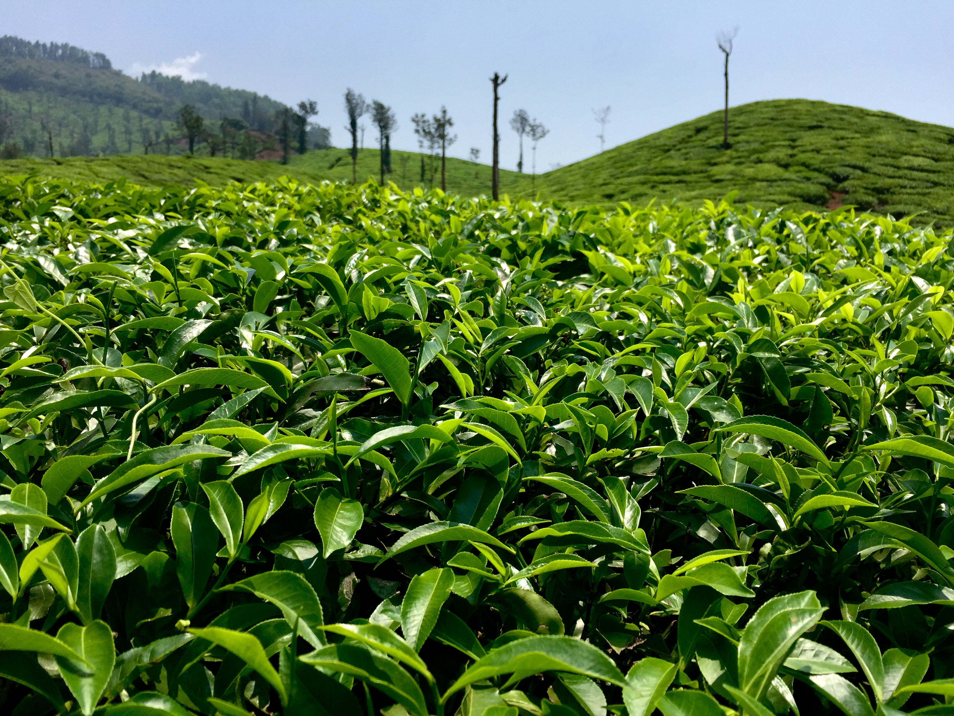
Tea Gardens of Karnataka

Playing hide & seek.
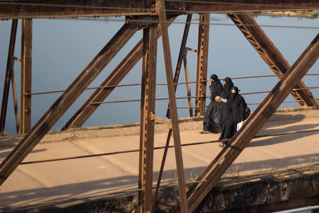
Women On Bridge
IND-20131124-143525

IND-20131124-143300
IND-20131124-143155

IND-20131124-143029
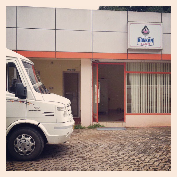
Thank you PUTTUR PETRO PRODUCTS for allowing us to use the toilets...
IMG_20130607_133030.jpg
we too can dance

08/06/2008
Topographic Map of Dakshina Kannada, Karnataka, India
Find elevation by address:

Places in Dakshina Kannada, Karnataka, India:
Places near Dakshina Kannada, Karnataka, India:
Belthangady
Dharmasthala
Mulur
Gurpur Post Office
Moodbidri
Maroli
Deenet Services Pvt Limited, Mangalore
Kottigehara
Kukke Subramanya Temple Arch
Kambalakaad Holiday Home
Kavoor
Mangaluru
Mangala Nagar
State Highway 85
Mahathobara Shree Mangaladevi Temple
The Ocean Pearl
Kodailbail
Karkala
Pelathaje
Creative Pu College Karkala
Recent Searches:
- Elevation of Corso Fratelli Cairoli, 35, Macerata MC, Italy
- Elevation of Tallevast Rd, Sarasota, FL, USA
- Elevation of 4th St E, Sonoma, CA, USA
- Elevation of Black Hollow Rd, Pennsdale, PA, USA
- Elevation of Oakland Ave, Williamsport, PA, USA
- Elevation of Pedrógão Grande, Portugal
- Elevation of Klee Dr, Martinsburg, WV, USA
- Elevation of Via Roma, Pieranica CR, Italy
- Elevation of Tavkvetili Mountain, Georgia
- Elevation of Hartfords Bluff Cir, Mt Pleasant, SC, USA