Elevation of Dakhla, Morocco, Morocco
Location: Morocco >
Longitude: -12.163271
Latitude: 27.8521664
Elevation: 69m / 226feet
Barometric Pressure: 100KPa
Elevation Map:
Satellite Map:
Related Photos:

Views of Sahara

Views of Sahara

Views of Sahara

Morocco - Sahara Coastline - Tan-Tan

Road Trip between Sidi Ifni & Dakhla
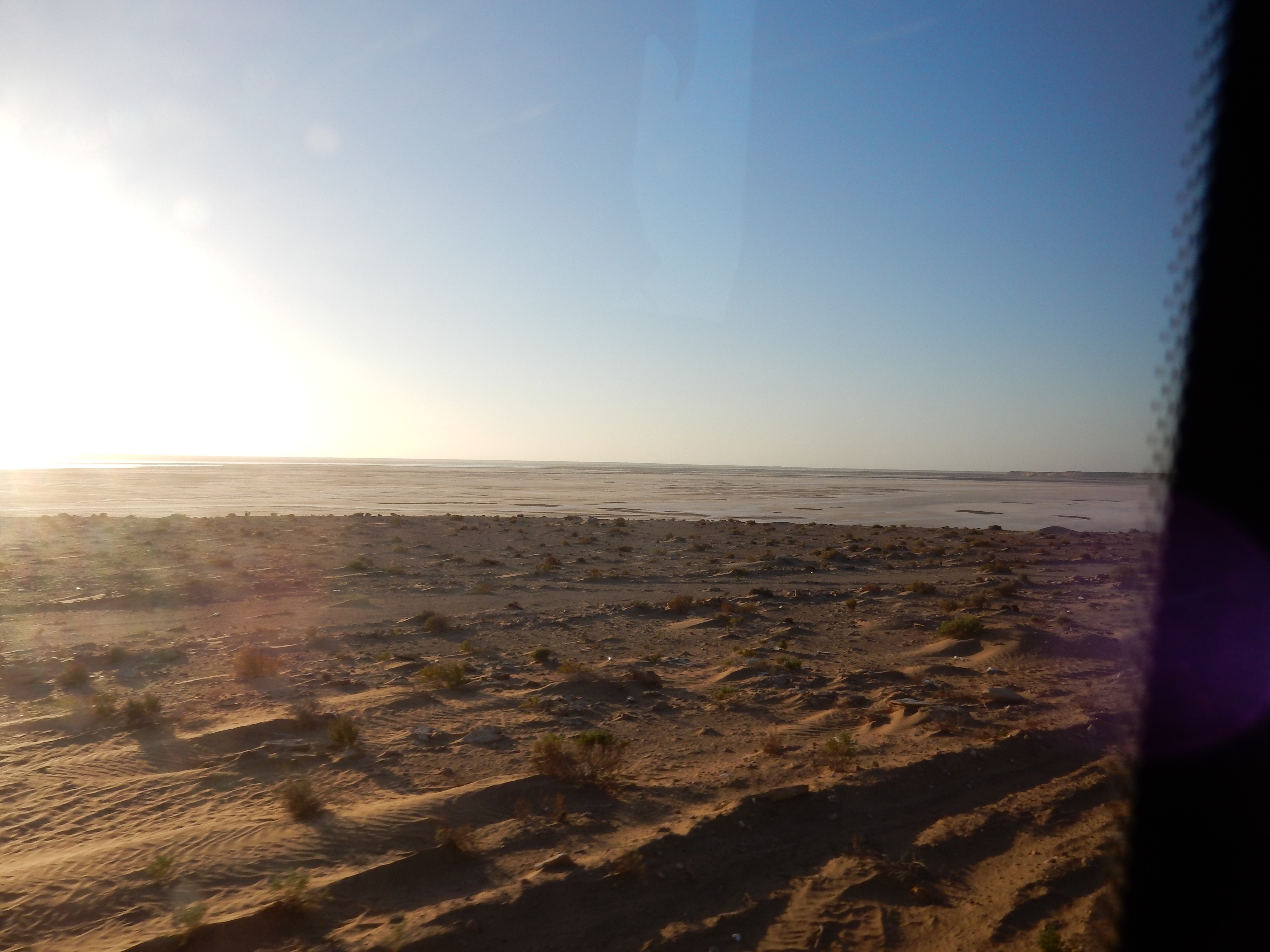
Road Trip between Sidi Ifni & Dakhla

Road Trip between Sidi Ifni & Dakhla
Topographic Map of Dakhla, Morocco, Morocco
Find elevation by address:

Places near Dakhla, Morocco, Morocco:
Recent Searches:
- Elevation of Corso Fratelli Cairoli, 35, Macerata MC, Italy
- Elevation of Tallevast Rd, Sarasota, FL, USA
- Elevation of 4th St E, Sonoma, CA, USA
- Elevation of Black Hollow Rd, Pennsdale, PA, USA
- Elevation of Oakland Ave, Williamsport, PA, USA
- Elevation of Pedrógão Grande, Portugal
- Elevation of Klee Dr, Martinsburg, WV, USA
- Elevation of Via Roma, Pieranica CR, Italy
- Elevation of Tavkvetili Mountain, Georgia
- Elevation of Hartfords Bluff Cir, Mt Pleasant, SC, USA