Elevation of Daisy Lane, Daisy Ln, Sharon, VT, USA
Location: United States > Vermont > Windsor County > Royalton > South Royalton >
Longitude: -72.476759
Latitude: 43.790181
Elevation: 209m / 686feet
Barometric Pressure: 99KPa
Elevation Map:
Satellite Map:
Related Photos:

Foliage Frame

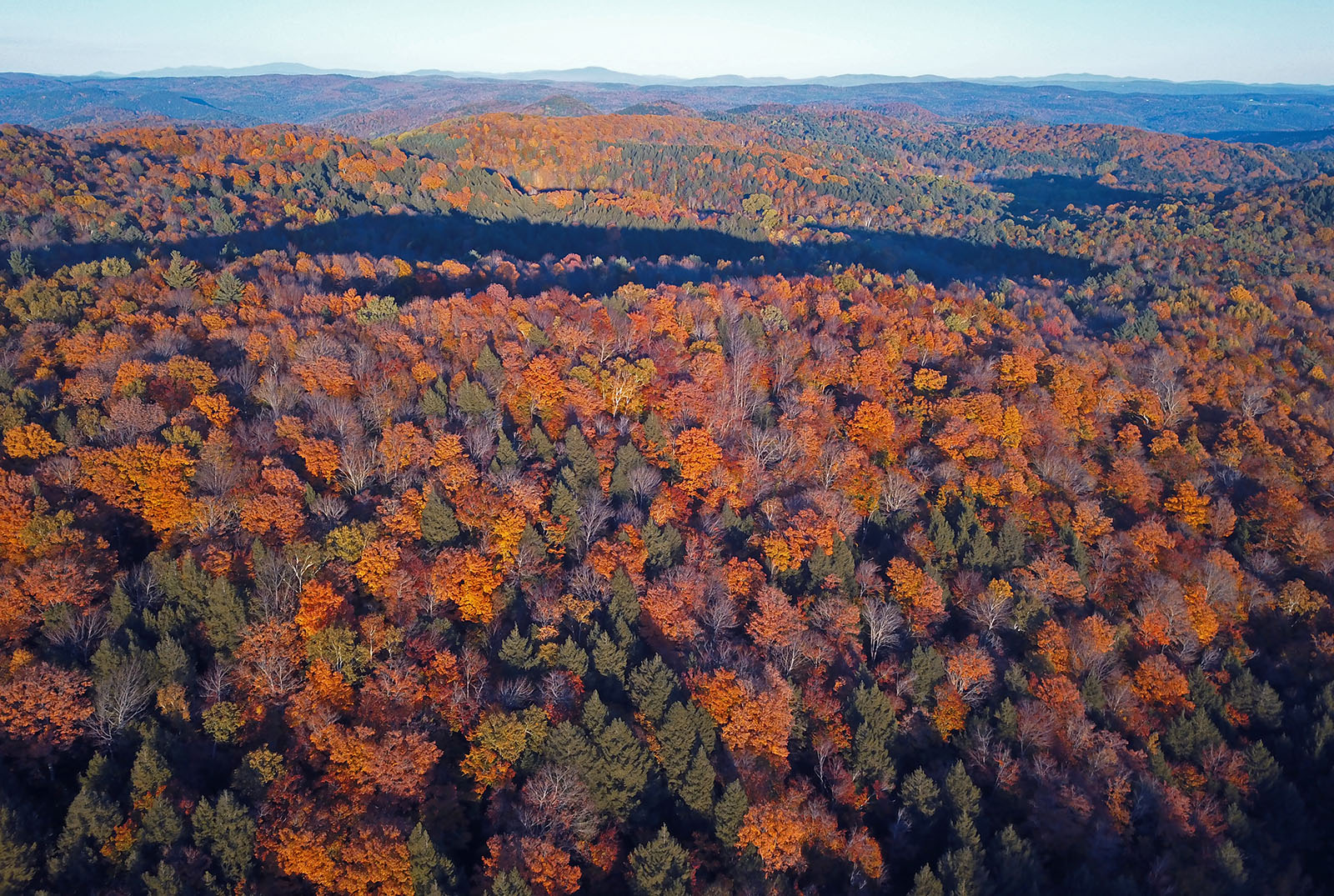
Autunm in Vermont
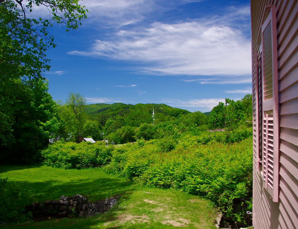
Strafford, Vermont in June green

Vermont Winter Landscape
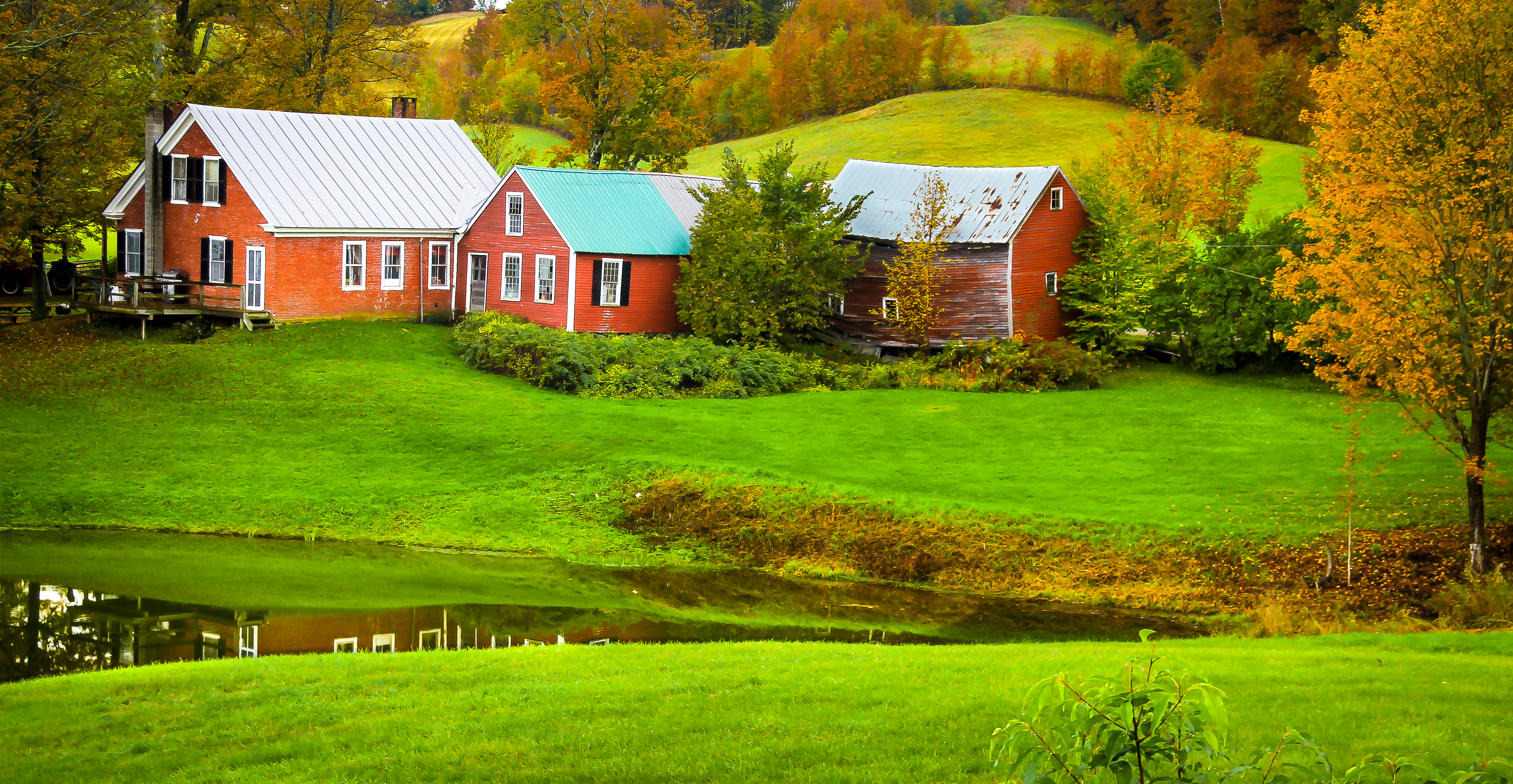
Jenny Farm Vermont

Long Valley at Sunrise

Yellow Caterpillar; Orgyia definita?

Views from the Bogburn

Sugarbush Farm, Vermont

View from the Ridge

Lark Sparrow, Norwich Vermont on 5 Sept. 2012

Red-necked Grebe, Silver Lake, Barnard, VT, 26-Apr-2014

White River Summer

rear view after dark on a rainy night

River-level view

South Royalton House

Brown Schoolhouse (BSH) Road from near Beaver Meadow Road, after the collapse. Looking across the span towards the Bill Ballard Trail.

Uphill View of the Farm

Cow Barn

Vermont Valley
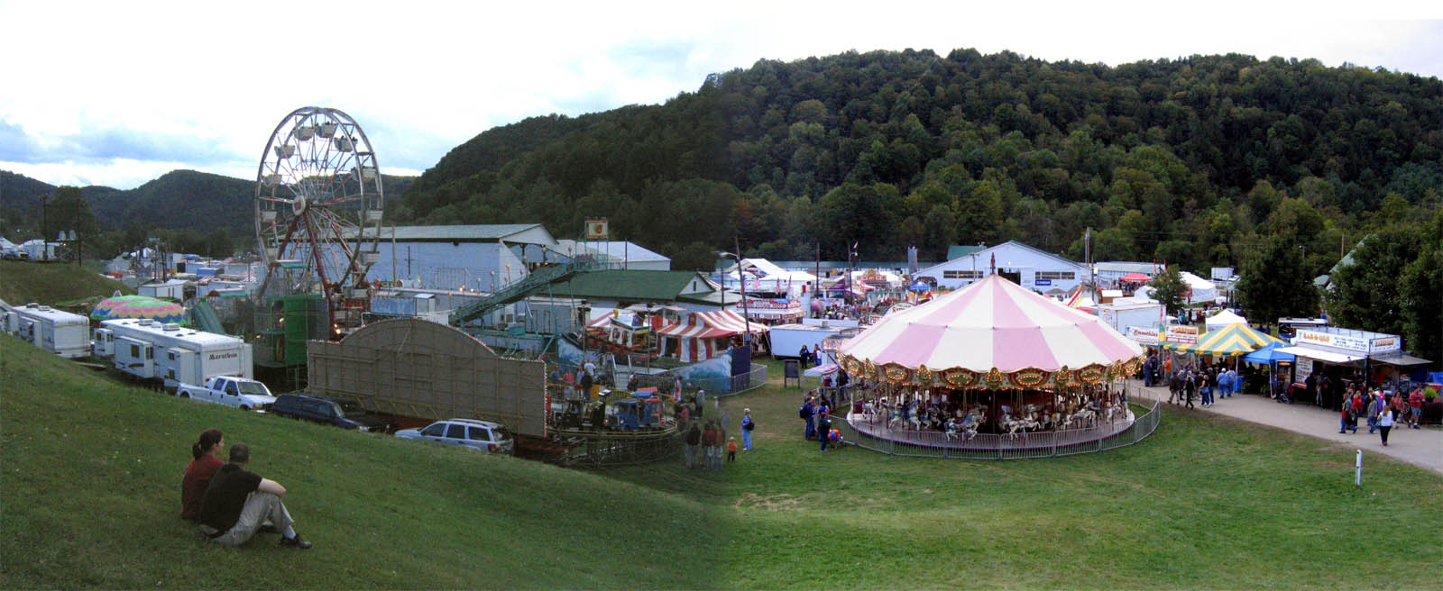
2007 Tunbridge World's Fair
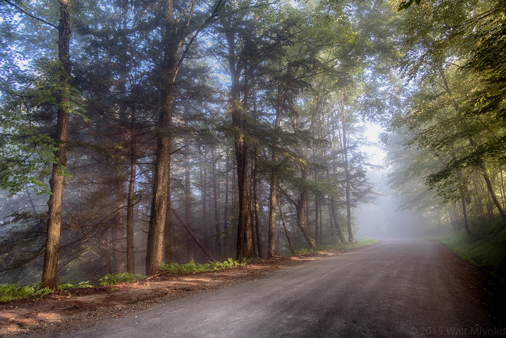
Foggy Morning

Winter at Sleepy Hollow

Jericho Brook Falls, Hartford, VT.

This is Vermont
Vermont foliage

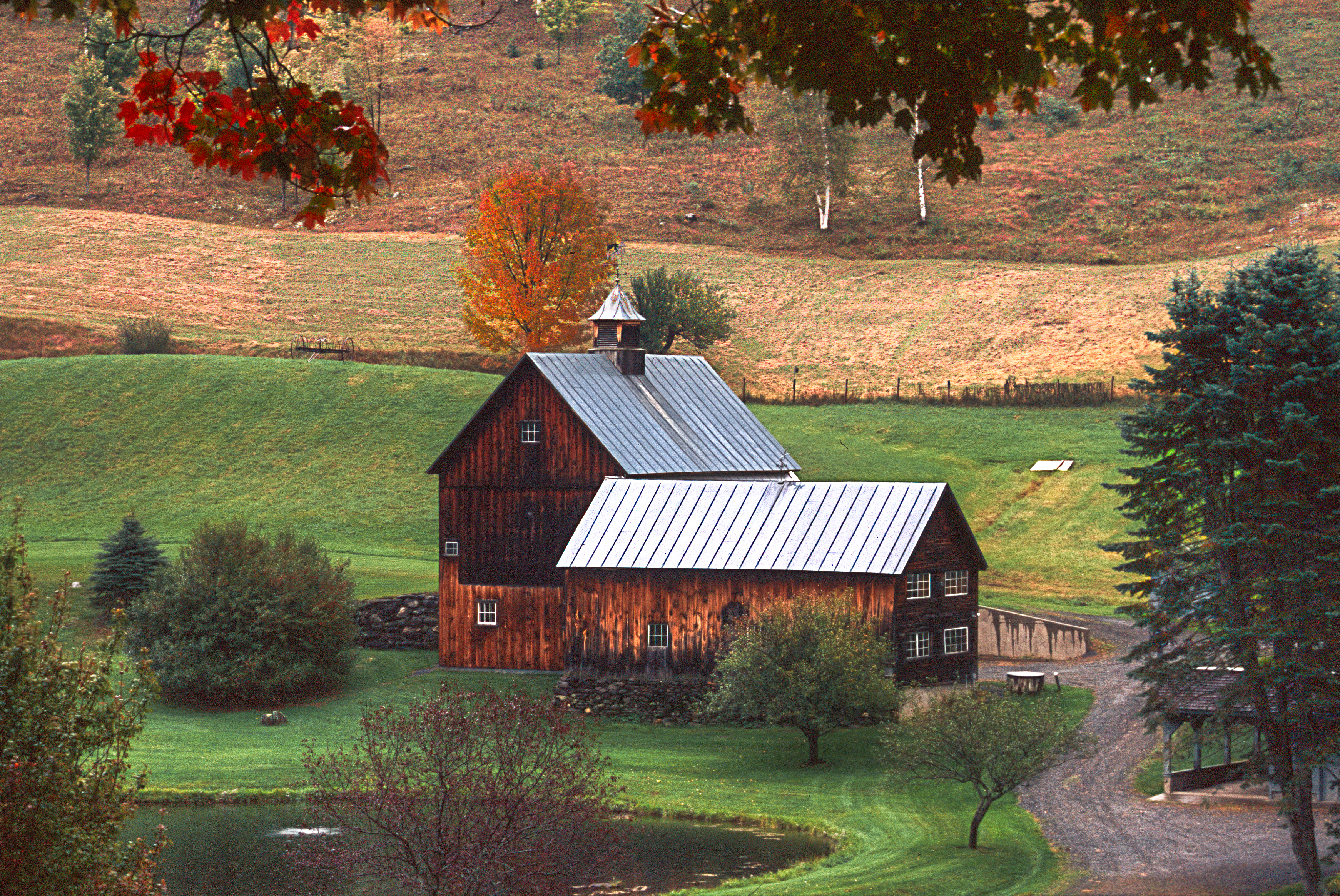
Sleepy Hollow Farm
Photos of the Year 2013 ~ Sleepy Hollow Farm, Woodstock, VT (Explore #34)

Sleepy Hollow Farm - Woodstock - Vermont

2017-09-15_09-27-56
HV-2961.jpg

0E3A8258.jpg

Pomfret Hills

HVAR2938.jpg

Ordway Rd, Strafford, VT

Mill Covered Bridge

Sleepy Hollow Farm, Woodstock, VT (1)
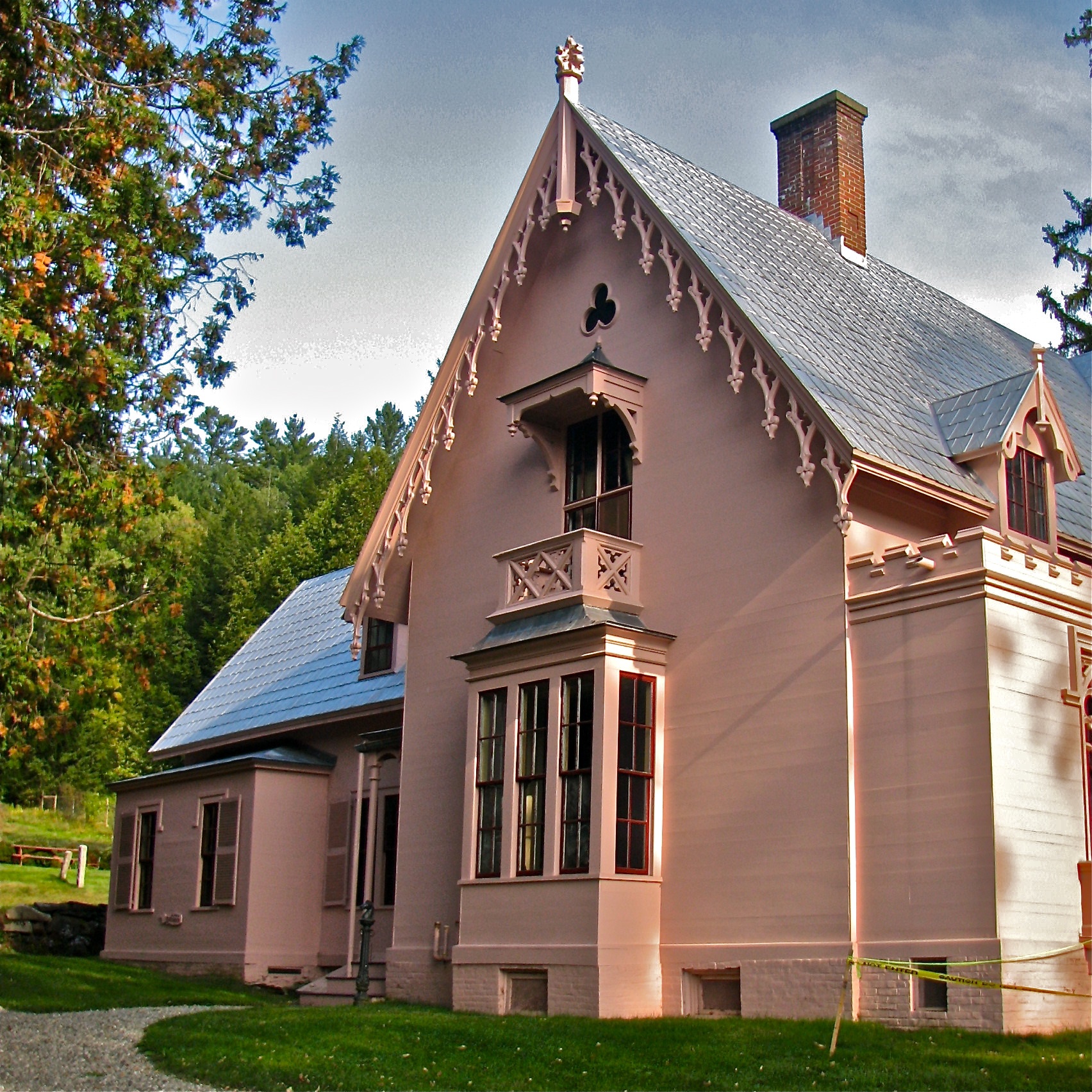
J.S. Morrill Homestead (1848-51) – north side

Old City Falls (VT)

Justin Smith Morrill Homestead (1848-51) – National Historic Landmark
Topographic Map of Daisy Lane, Daisy Ln, Sharon, VT, USA
Find elevation by address:

Places near Daisy Lane, Daisy Ln, Sharon, VT, USA:
Sharon Meadows
1776 White Brook Rd
Sharon
Johnsons Way
117 Clifford Farm Rd
309 Kinney Farm Rd
704 Frary Rd
181 S Windsor St
709 Frary Rd
Vermont Law School
South Royalton
469 Day Rd
200 Button Hill Rd
201 Button Hill Rd
Robinson Road
Royalton
302 Potash Hill Rd
75 Lyon Rd
1885 Mill Rd
1405 Happy Hollow Rd
Recent Searches:
- Elevation of Corso Fratelli Cairoli, 35, Macerata MC, Italy
- Elevation of Tallevast Rd, Sarasota, FL, USA
- Elevation of 4th St E, Sonoma, CA, USA
- Elevation of Black Hollow Rd, Pennsdale, PA, USA
- Elevation of Oakland Ave, Williamsport, PA, USA
- Elevation of Pedrógão Grande, Portugal
- Elevation of Klee Dr, Martinsburg, WV, USA
- Elevation of Via Roma, Pieranica CR, Italy
- Elevation of Tavkvetili Mountain, Georgia
- Elevation of Hartfords Bluff Cir, Mt Pleasant, SC, USA