Elevation of Dairyland, WI, USA
Location: United States > Wisconsin > Douglas County >
Longitude: -92.199413
Latitude: 46.2263454
Elevation: 363m / 1191feet
Barometric Pressure: 97KPa
Elevation Map:
Satellite Map:
Related Photos:
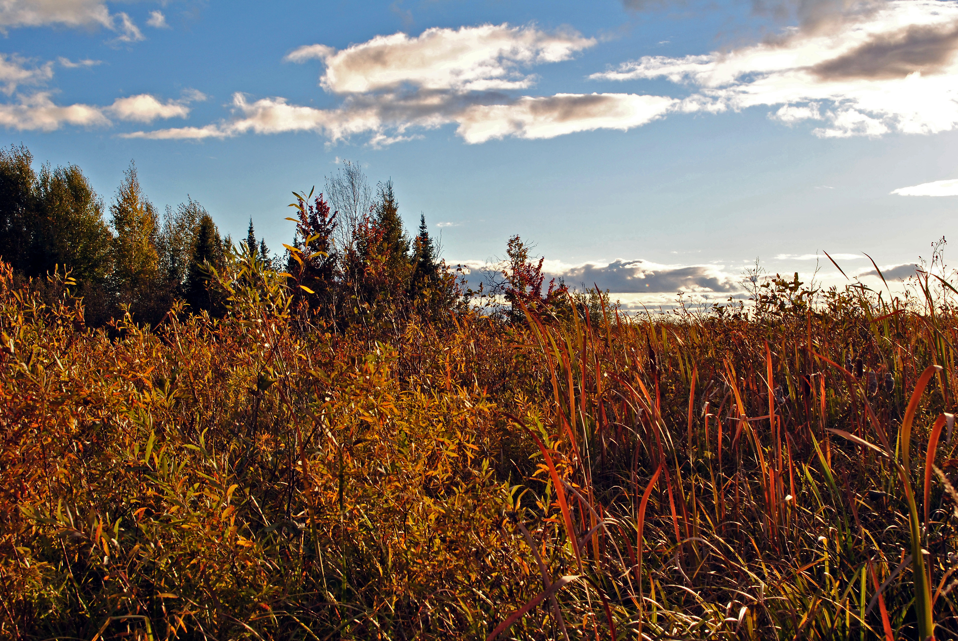
Shrub Thicket
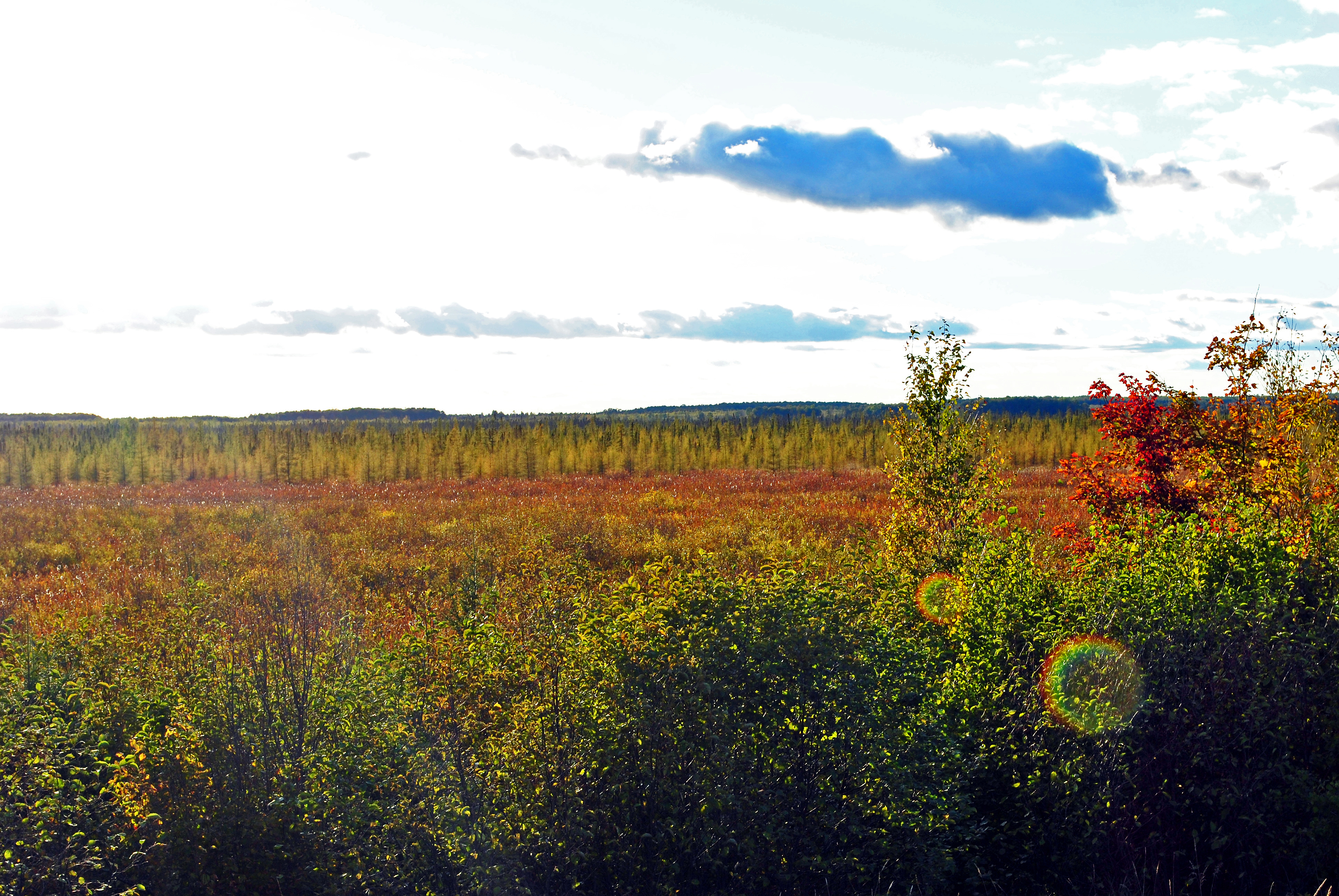
Belden Swamp State Natural Area
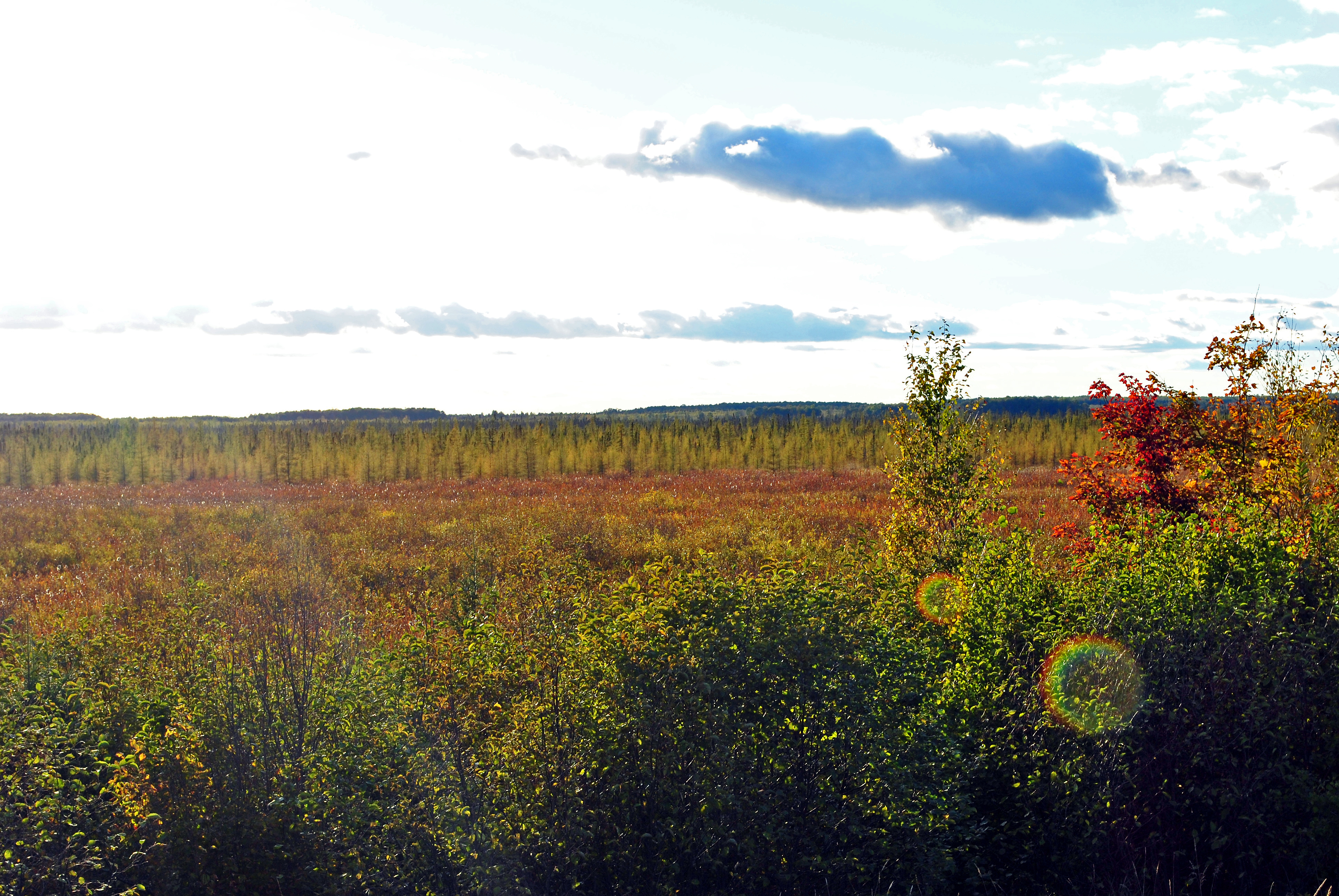
Belden Swamp State Natural Area

Road King in Wisconsin
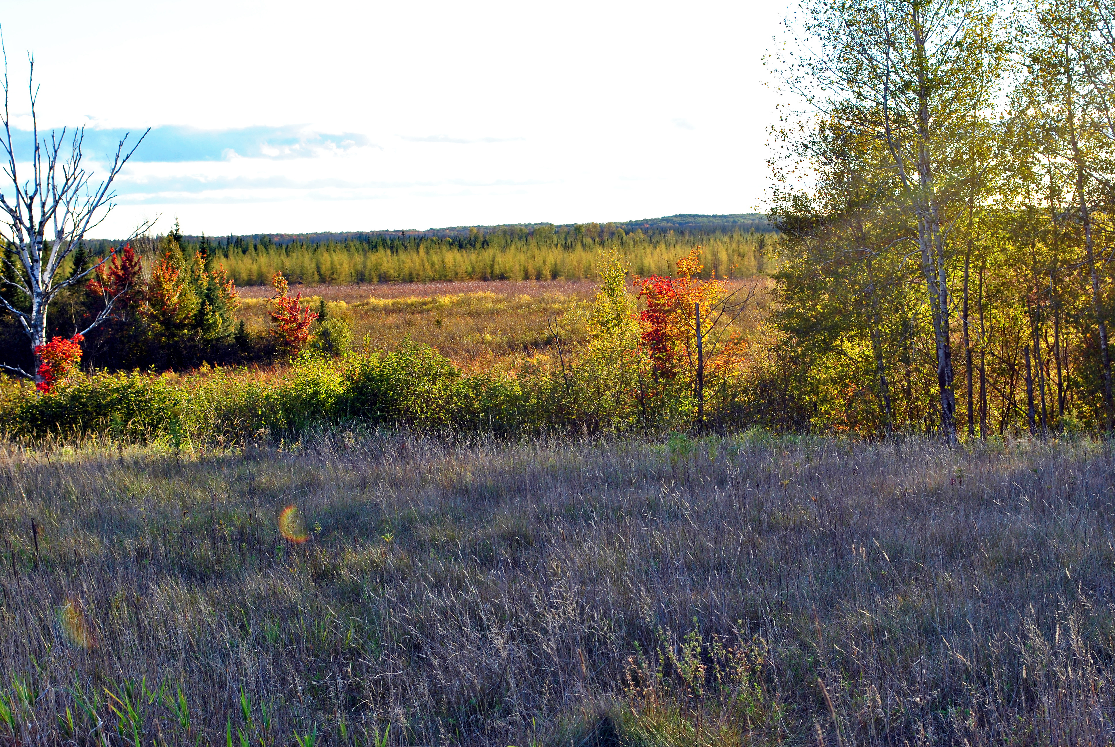
Belden Swamp State Natural Area

Belden Swamp State Natural Area
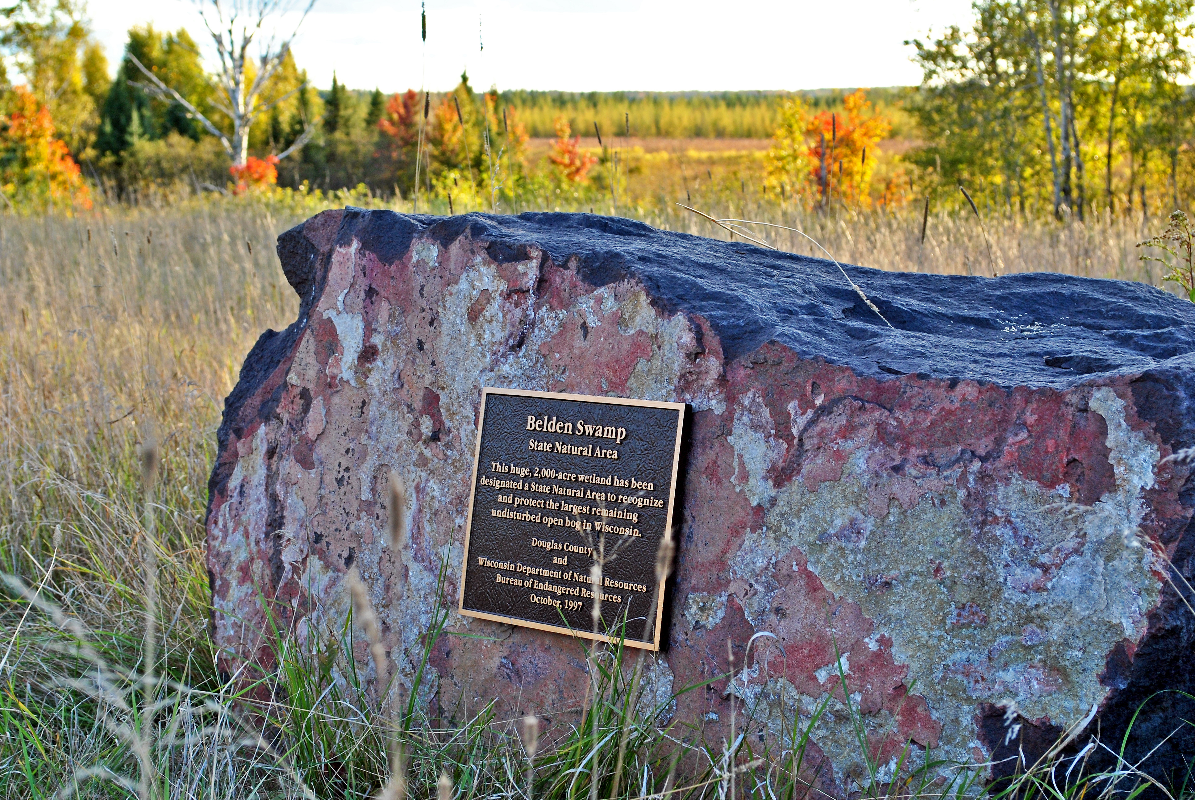
Belden Swamp SNA Marker
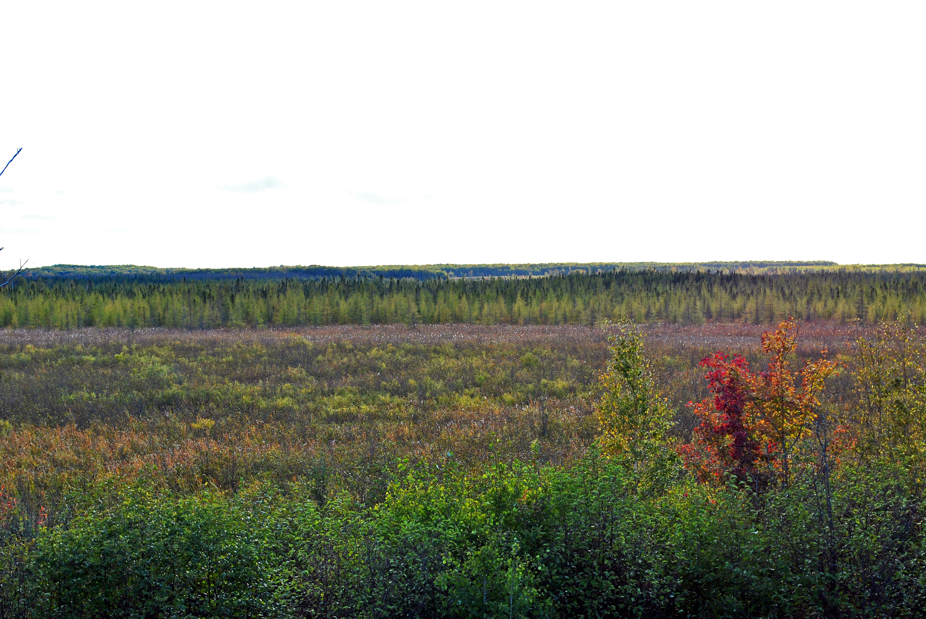
Belden Swamp State Natural Area

Bear Paw Print
Topographic Map of Dairyland, WI, USA
Find elevation by address:

Places in Dairyland, WI, USA:
Places near Dairyland, WI, USA:
County Rd T, Danbury, WI, USA
2713 Carlson Rd
2nd Ave, Markville, MN, USA
Markville
Arna Township
29273 Pine Knoll Ln
4538 Hawks Nest Ct
Great Bear Pass
Park Township
Danbury
Sykes Road
Scott
Nickerson Township
Minong
28203 S Johnson Lake Rd
Lena Lake
Park Hills Road
60520 Dahlgren Rd
Sand Lake
5609 Co Rd X
Recent Searches:
- Elevation of Corso Fratelli Cairoli, 35, Macerata MC, Italy
- Elevation of Tallevast Rd, Sarasota, FL, USA
- Elevation of 4th St E, Sonoma, CA, USA
- Elevation of Black Hollow Rd, Pennsdale, PA, USA
- Elevation of Oakland Ave, Williamsport, PA, USA
- Elevation of Pedrógão Grande, Portugal
- Elevation of Klee Dr, Martinsburg, WV, USA
- Elevation of Via Roma, Pieranica CR, Italy
- Elevation of Tavkvetili Mountain, Georgia
- Elevation of Hartfords Bluff Cir, Mt Pleasant, SC, USA