Elevation of Dairy Lane, Dairy Ln, Morgantown, WV, USA
Location: United States > West Virginia > Monongalia County > Eastern > Morgantown >
Longitude: -79.973601
Latitude: 39.5623315
Elevation: 383m / 1257feet
Barometric Pressure: 97KPa
Elevation Map:
Satellite Map:
Related Photos:

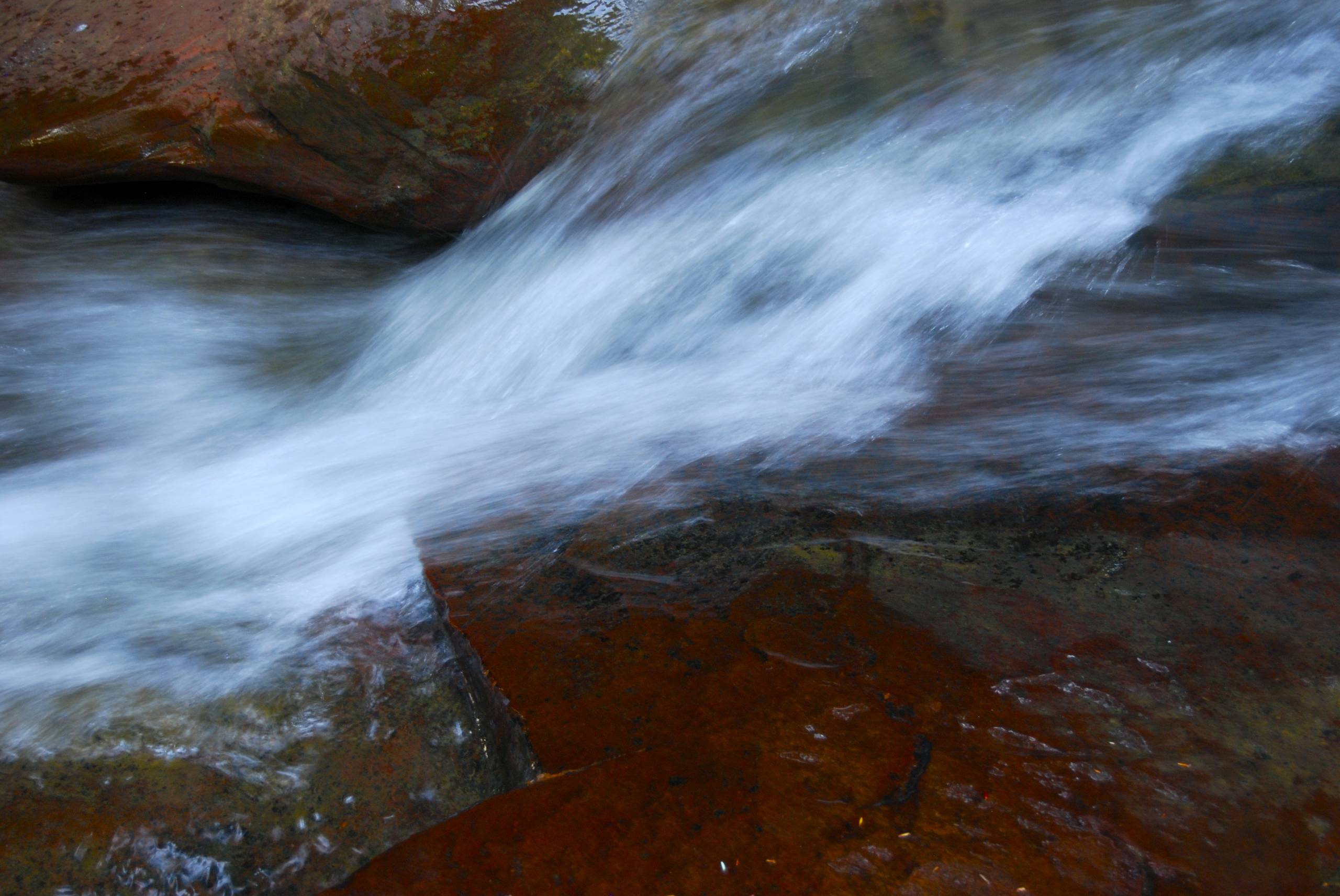
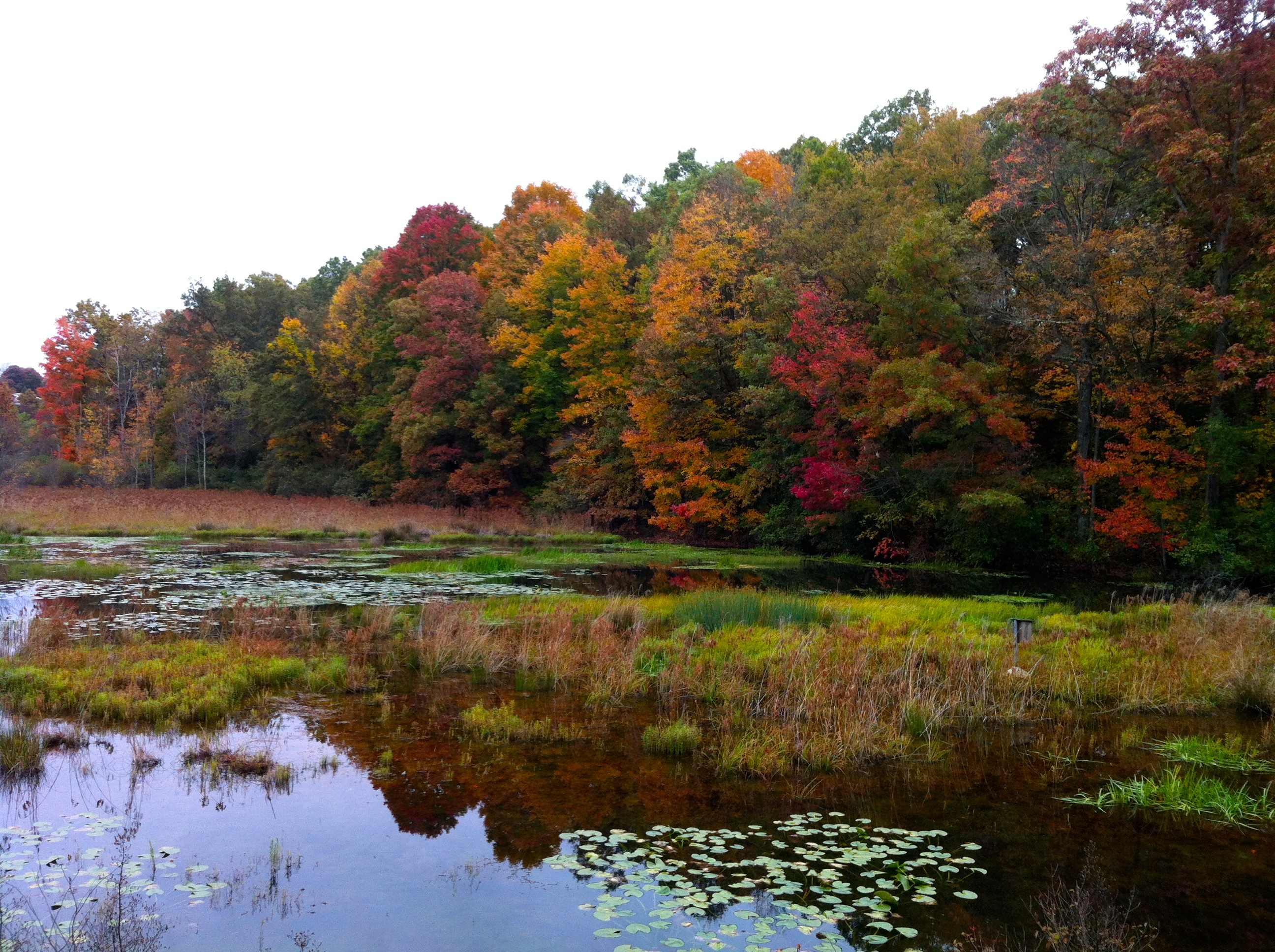
Gran Canyon Colors
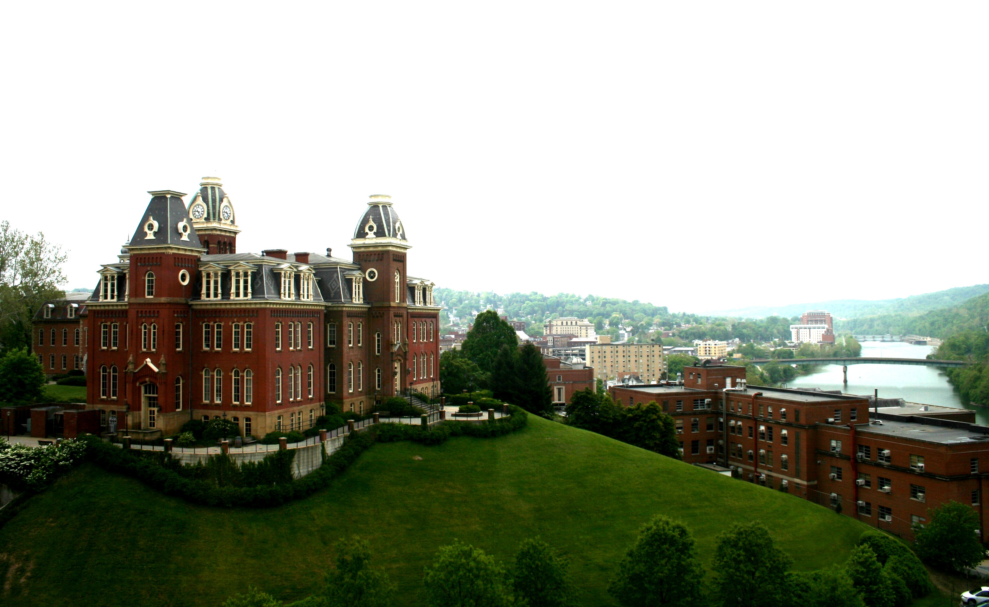
west virginia university
Mont Chateau Road

Reflection...Day 4 of 365

Saddleback Caterpillar

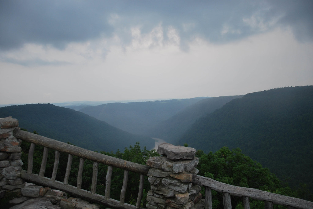
Cheat River Gorge at Coopers Rock State Forrest

Debris Carrier "cotton bug"

Study of a Dead Bee #1
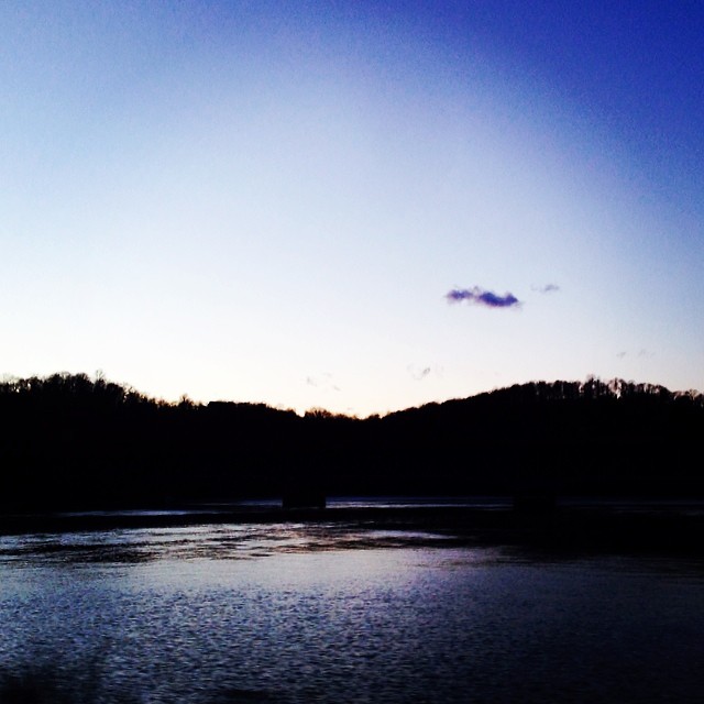
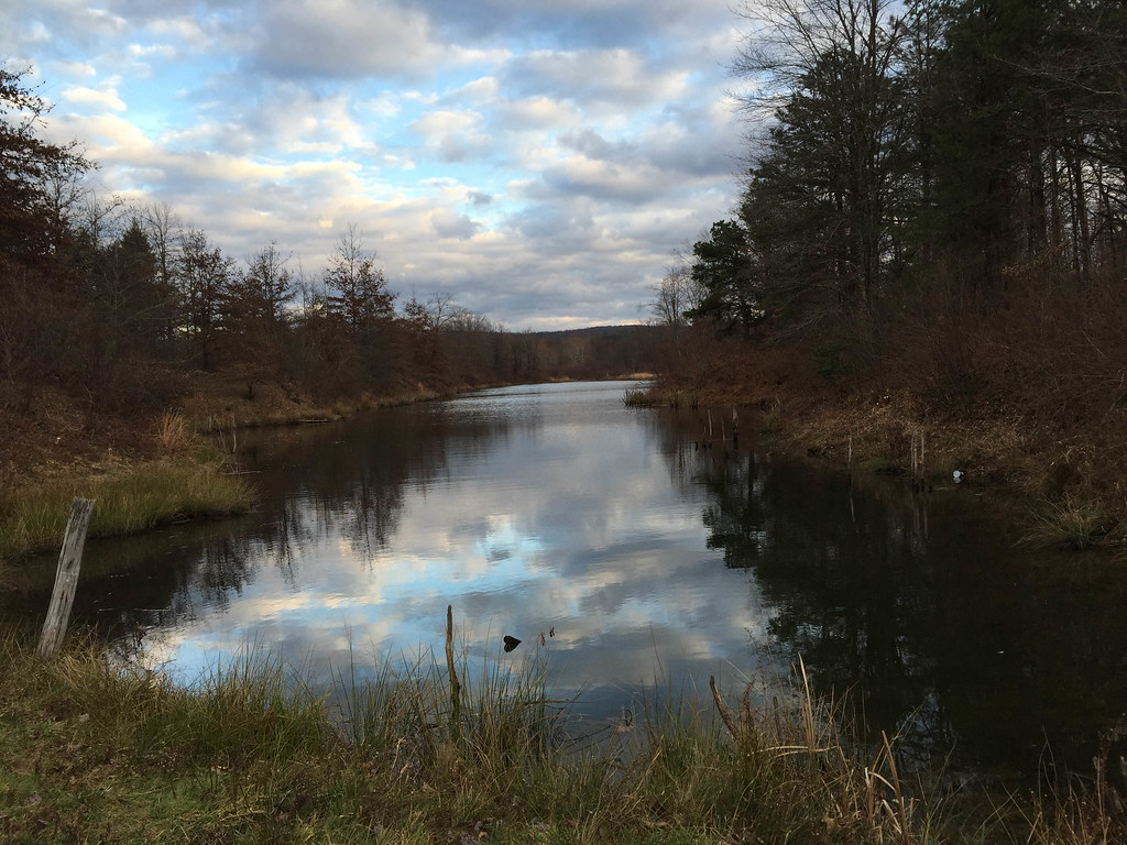
Cheat Lake, WV

Little Shiny Green-gold Beetle - Dogbane Leaf Beetle
View from the Bridge

Morgantown Queen Anne 2
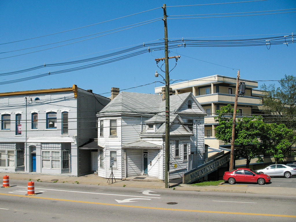
Morgantown streetview.
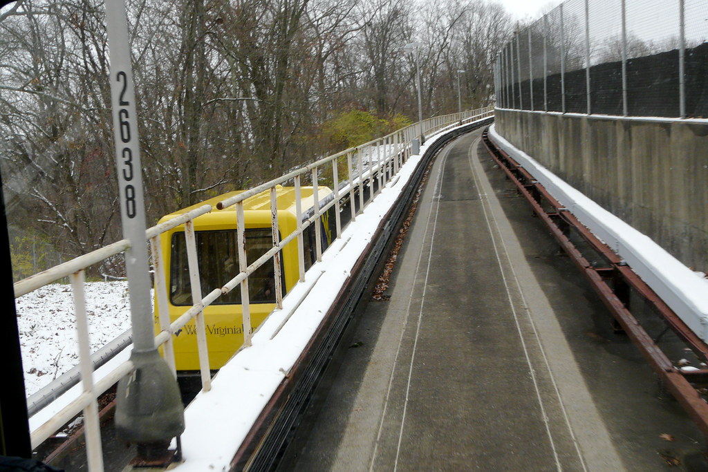
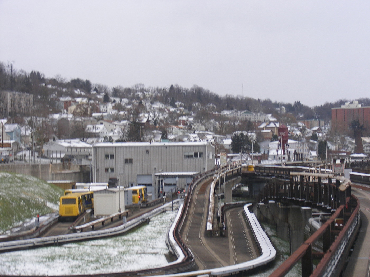
View of the Morgantown PRT
Tree and Sky
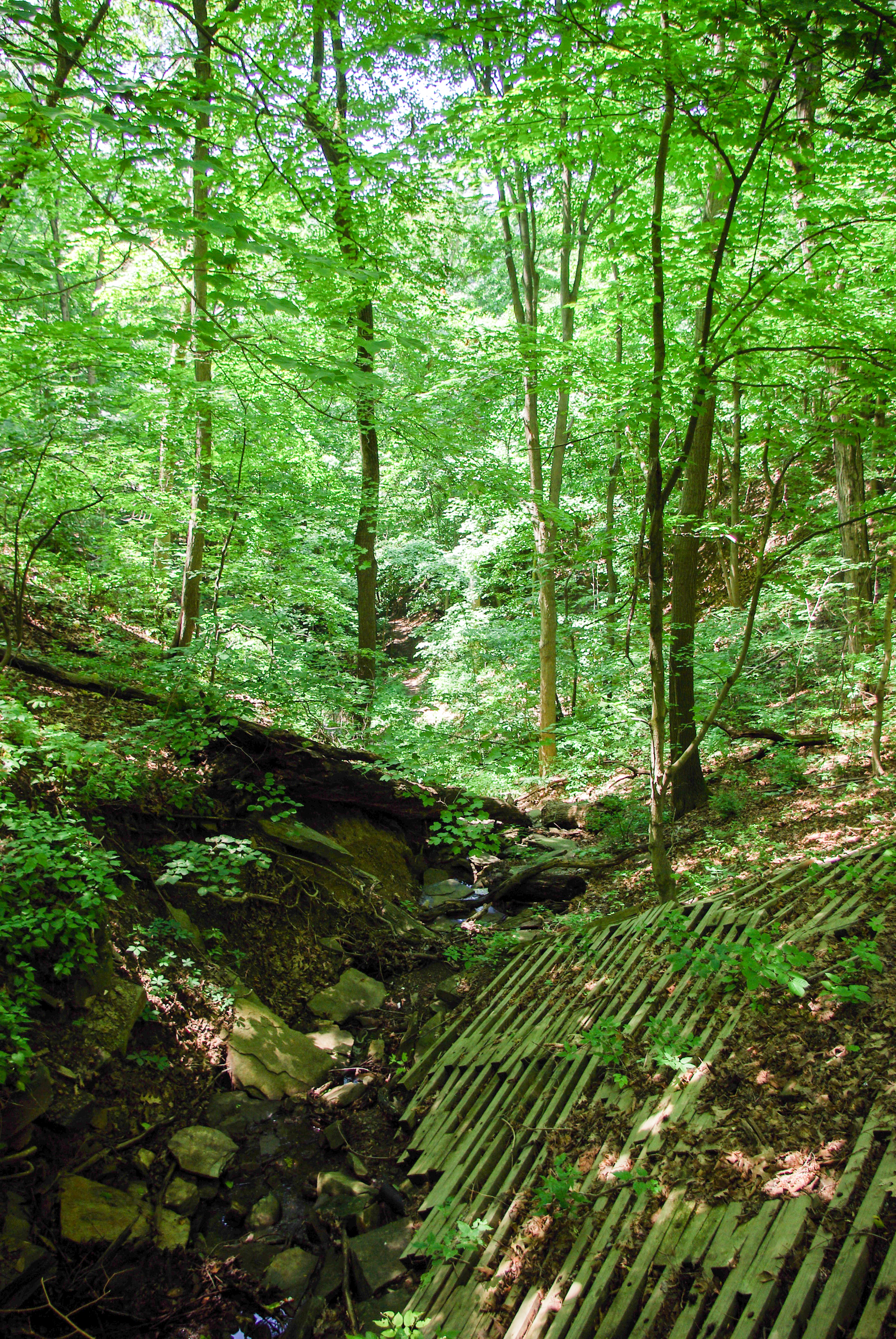
Nature Trail
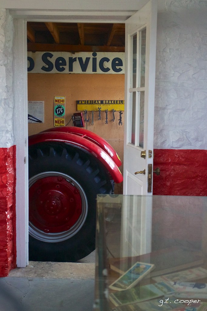
Arthurdale Esso Station

Red Brick, Blue Sky
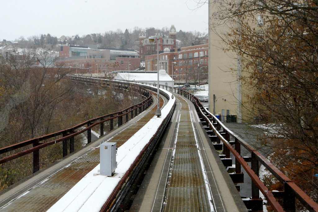
PRT 8
Mason-Dixon Festival VII
View of the Morgantown PRT
Landscape Enlargements
Cheat Lake
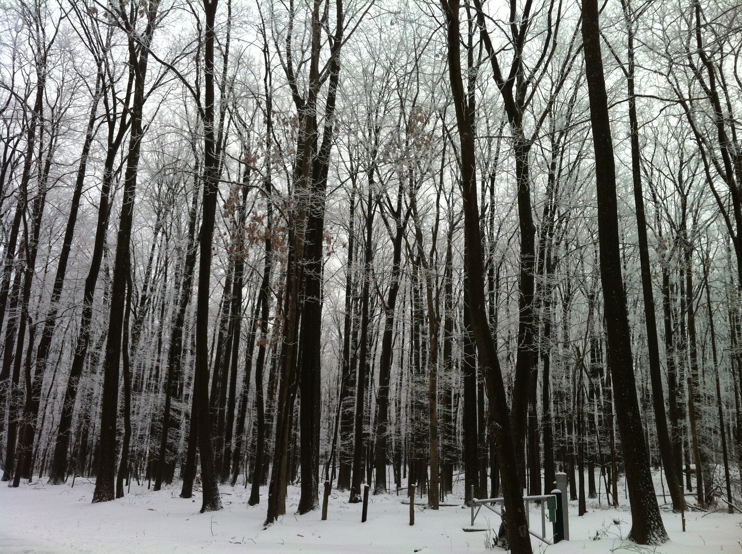
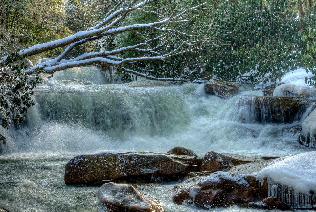
Winter 2012
Landscape Enlargements
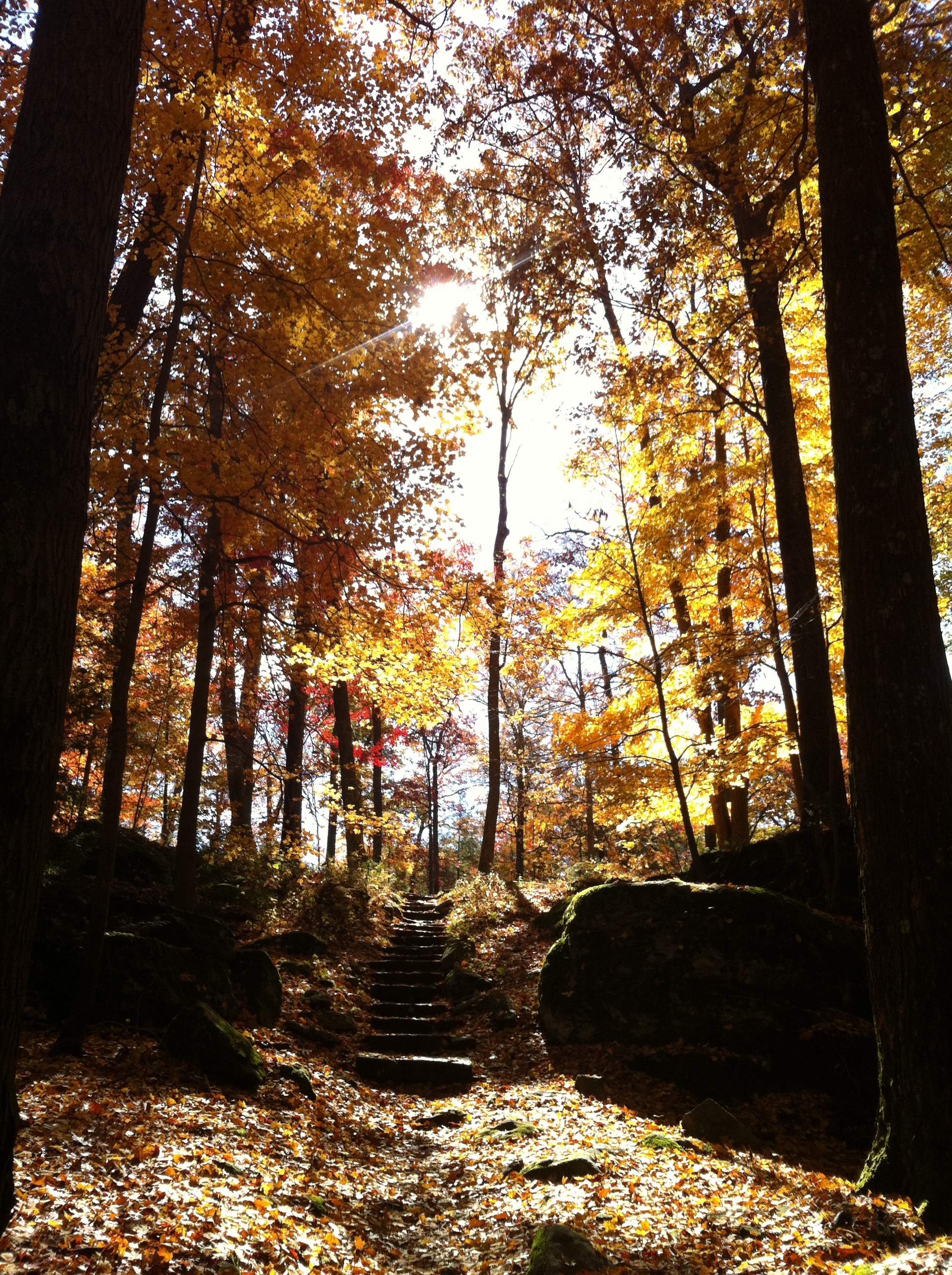
Coopers Rock State Forest
Prickett's Creek (an explore photo)

Mushrooms.
Summer 2012
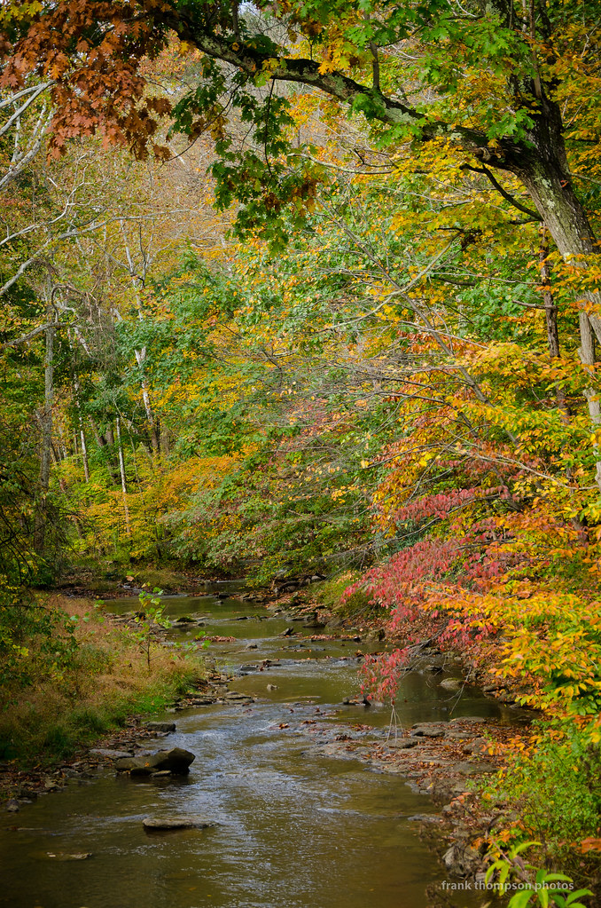
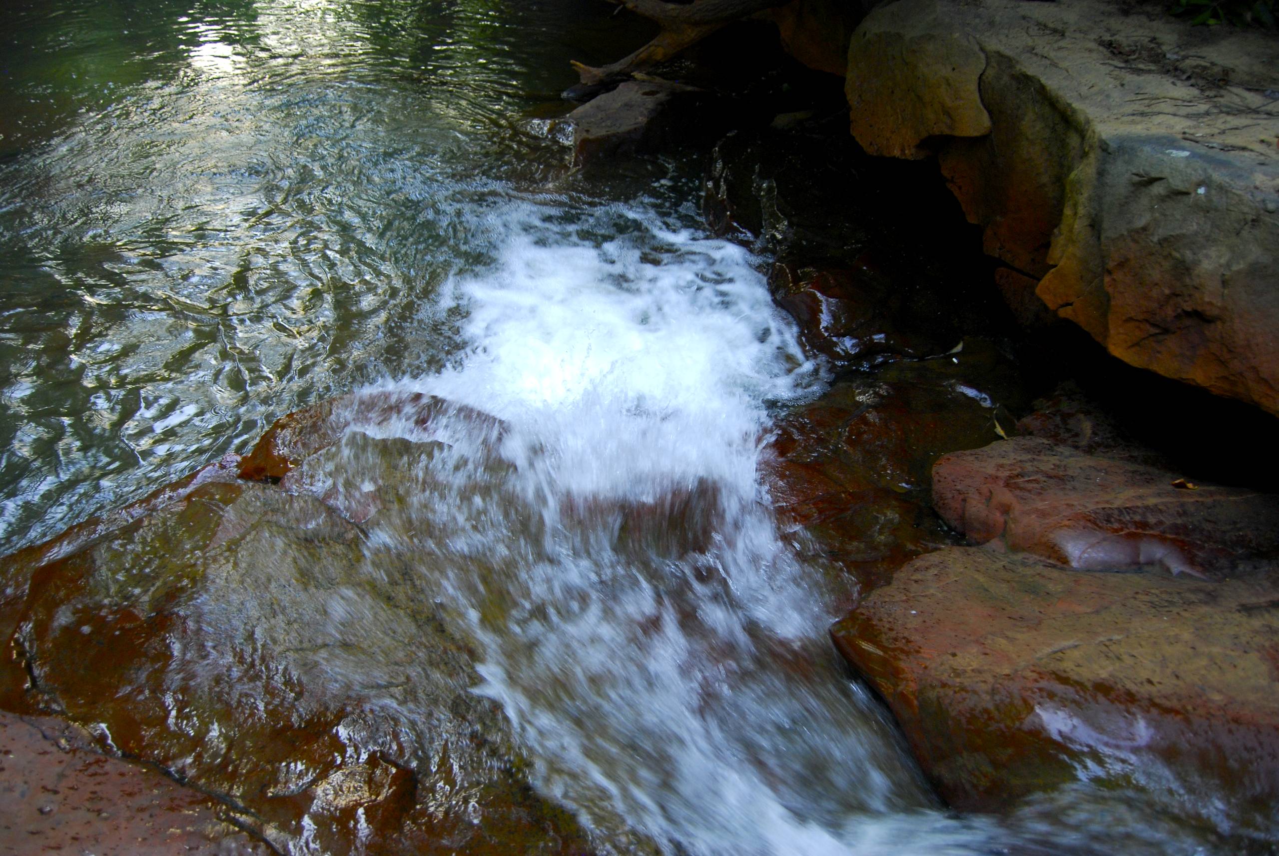
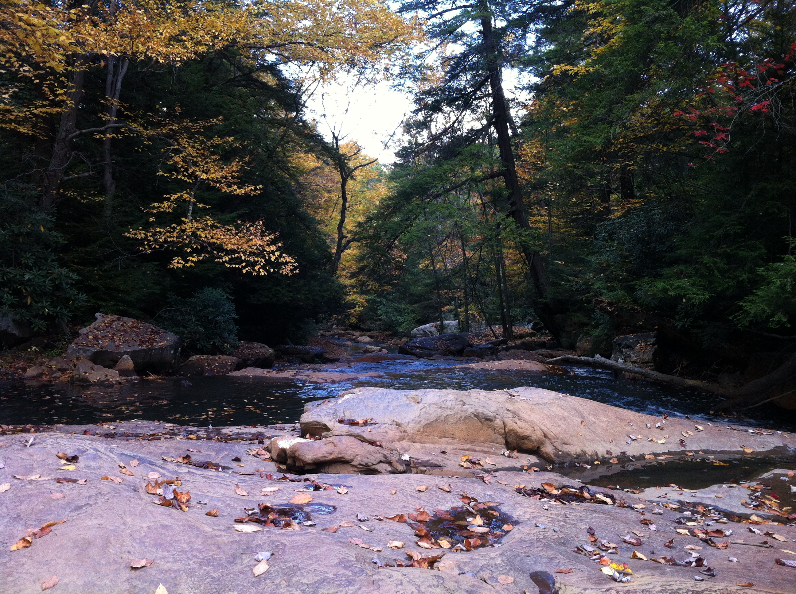
Down Deckers Creek
Summer 2012
Fairfax Pond-Rehe Wildlife Management Area
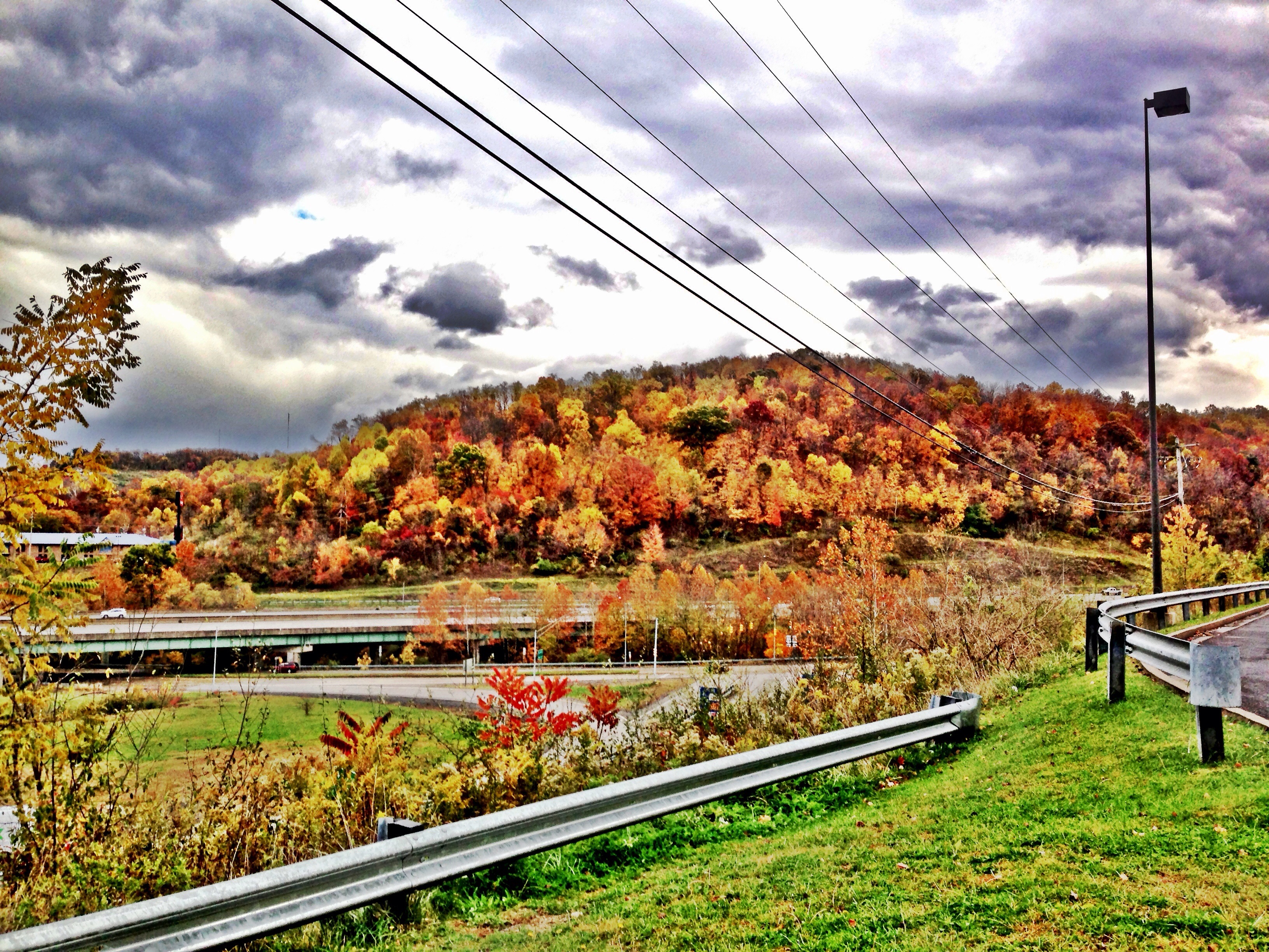
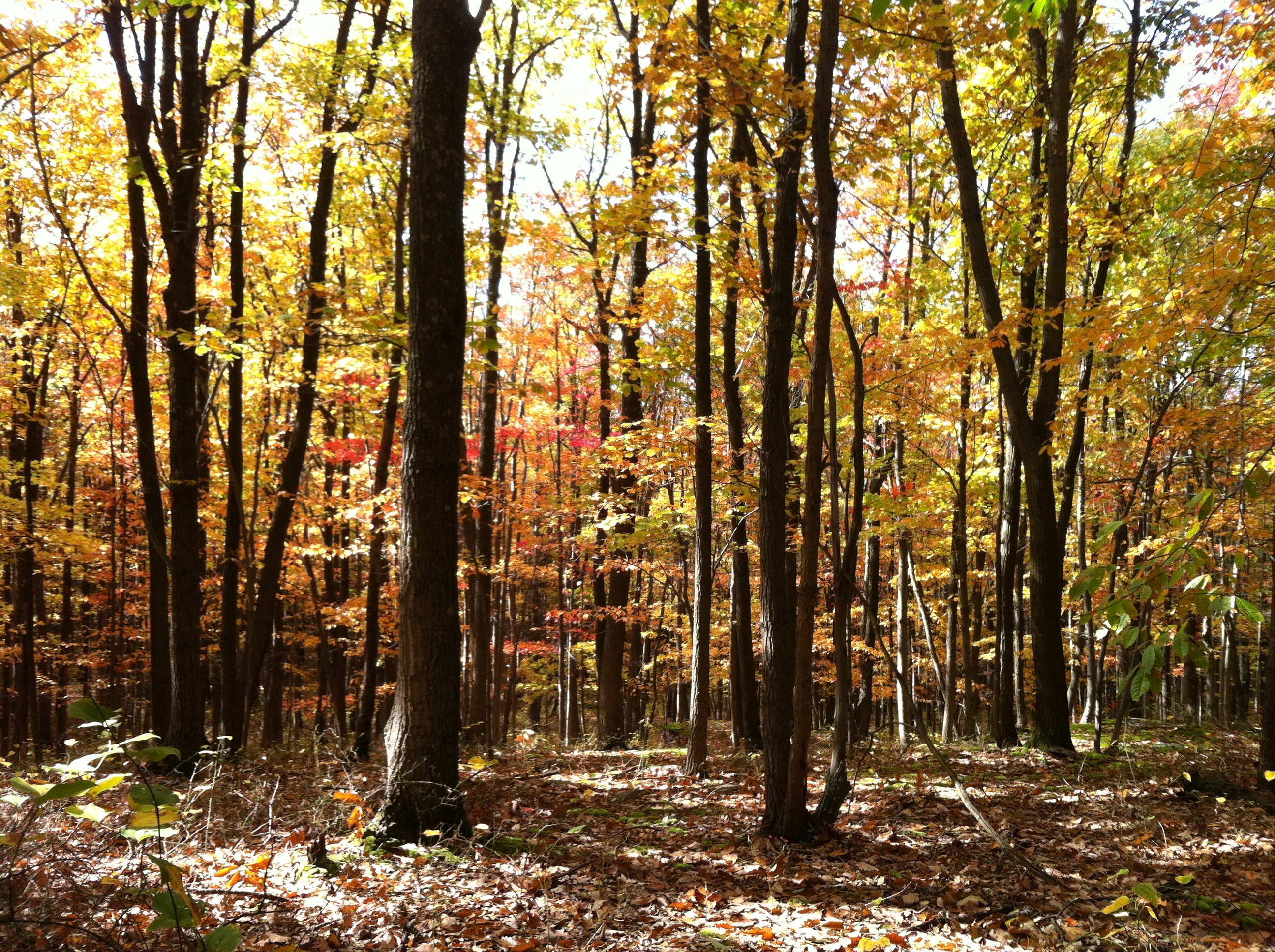
West Virginia Foliage
Summer 2012

Summer 2012
Landscape Enlargements
Core Arboretum
Landscape Enlargements
Topographic Map of Dairy Lane, Dairy Ln, Morgantown, WV, USA
Find elevation by address:

Places near Dairy Lane, Dairy Ln, Morgantown, WV, USA:
41 Guthrie Ln
Dorsey Knob
5005 Green Bag Road
5000 Green Bag Road
1001 Mississippi St
517 Adeline Ave
First Ward
1015 Wayne St
412 Callen Ave
112 Jackson Ave
1426 Kingwood Pike
107 Maple Ave
South Park
Morgantown Marriott At Waterfront Place
230 Green St
Greenmont
464 Brockway Ave
High Street
South Hills
Morgantown
Recent Searches:
- Elevation of Corso Fratelli Cairoli, 35, Macerata MC, Italy
- Elevation of Tallevast Rd, Sarasota, FL, USA
- Elevation of 4th St E, Sonoma, CA, USA
- Elevation of Black Hollow Rd, Pennsdale, PA, USA
- Elevation of Oakland Ave, Williamsport, PA, USA
- Elevation of Pedrógão Grande, Portugal
- Elevation of Klee Dr, Martinsburg, WV, USA
- Elevation of Via Roma, Pieranica CR, Italy
- Elevation of Tavkvetili Mountain, Georgia
- Elevation of Hartfords Bluff Cir, Mt Pleasant, SC, USA