Elevation of Cypress Ridge Terrace, Leesburg, VA, USA

Location: United States > Virginia > Loudoun County > Broad Run >

Longitude: -77.474768

Latitude: 39.0812713

Elevation: 96m / 315feet

Barometric Pressure: 100KPa

Elevation Map:

elevation map of Cypress Ridge Terrace, Leesburg, VA, USA

Satellite Map:

Satellite map of Cypress Ridge Terrace, Leesburg, VA, USA

Related Photos:

america usa us unitedstates northamerica virginia beaverdam reservoir lake water ripple shore shoreline marsh landscape paysage paisaje paesaggio landschaft nature natural horizon tree forest foliage leaves branches sky sunset light sunlight sunshine flare burst backlit shadow nikon z7 mirrorless nikkor 35mm prime captureone
Sunshine of a Winter's Day
america usa us unitedstates northamerica virginia winterstormgail nor’easter december 2020 ice sleet snow tree branch winter frozen street neighborhood night photography nikon z7 mirrorless nikkor captureone
Front Door Nor'easter
montgomeryco maryland blockhousepointtrail paths trails bridges trees shadows signs topf25
Blockhouse Point Trail
trees rocks maryland canals rivers paths overlook potomacriver towpath cocanal iphone cmwd montgomeryco senecabreaks blockhousepointtrail
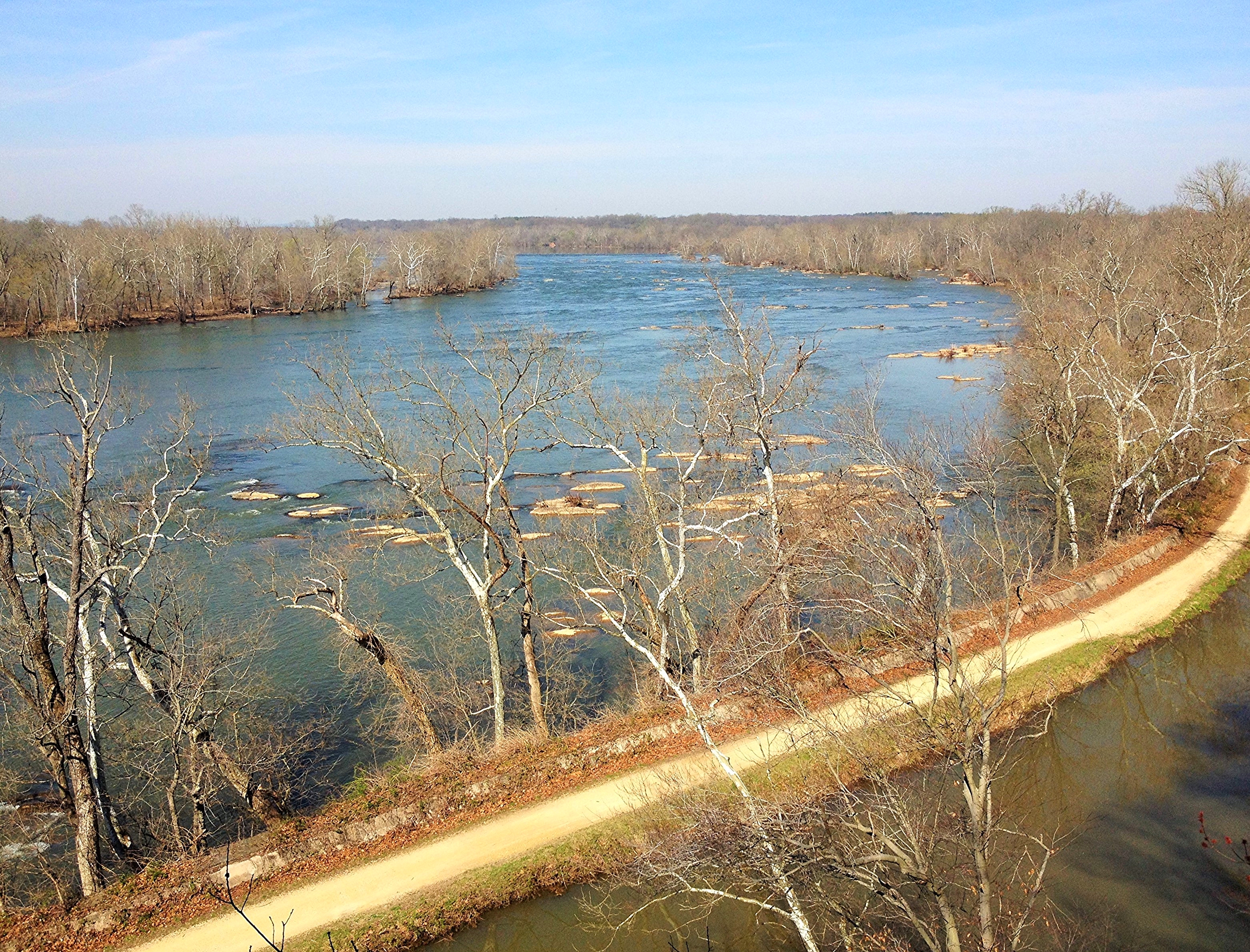
Potomac River at Seneca Breaks ~ HTMT
potomacriver white’sferry maryland virginia america usa us unitedstates northamerica landscape paysage paisaje paesaggio landschaft horizon river crossing water ripple wave nature tree foliage leaves branches sky cloud sunrise light sunlight sunshine shadow 1786 history historical ferry boat ramp nikon d7200 nikkor ndfilter leefilter captureone explore
Last of 100
virginia leesburg potomacriver redrockwildernessoverlookregionalpark
Potomac River
virginia leesburg potomacriver redrockwildernessoverlookregionalpark
Potomac River
unitedstatesofamerica mwaa iad kiad washington dulles international airport atct air traffic control tower metropolitan airports authority panoramic from top faa federal aviation administration controller new areal arieal ariel arial photo pano panorama amazing view autopano giga pro gigapixel stitch autostitch auto stitched
Airport Photography (EXPLORED)
ashburn va unitedstates panorama view wet lands loudoun county bles park parc virginia northern pano panoramic lake pond water wetlands wetland landscape paysage
Panorama view of the Wet Lands at Loudoun County Bles Park Ashburn VA
sterling va unitedstates panoramic view potomac river from algonkian regional park us usa america american virginia northern parc jardens loudoun county lc nova pano vista panorama water shoreline
Panoramic view of the Potomac River from Algonkian Regional Park - Sterling VA
sterling va unitedstates virginia loudoun county us usa america park parc water river riverbank shoreline tree trees paysage vista treeline pano panorama panoramic
Panorama view of the Potomac River from Algonkian Regional Park - Sterling VA
poolesville maryland unitedstatesofamerica aerial view potomac river upon approach iad washington dulles airport chantilly va montgomery county landscape paysage water branch virginia trees treetop park green forest island islands
Aerial view of Potomac River upon approach of IAD - Washington Dulles Airport Chantilly VA
sterling virginia unitedstates early autumn view tree lined riverbank along potomac river algonkian regional park va loudoun county us usa america parc water shoreline trees paysage vista treeline maryland fall colors colours
Early autumn view of tree lined riverbank along the Potomac River - Algonkian Regional Park - Sterling VA
mckeebeshers clouds landscape maryland sky summer sunflowers sunrise
A View to the East
ashburn va unitedstates panoramic view potomac river loudoun county bles park parc virginia northern pano panorama water tree trees broad run creek stream branch
Panoramic view of the Potomac River and Broad Run confluence at Loudoun County Bles Park Ashburn VA
auto from new autostitch panorama tower ariel photo washington airport amazing dulles iad view traffic control stitch top pano aviation air authority panoramic international pro areal airports controller administration federal stitched metropolitan arial faa gigapixel giga kiad arieal autopano mwaa atct
Airport Photography
mckeebeshers fisheye landscape maryland summer sunflowers
View From Down Under
cocanal muddybranch historicculvert30
Fall Day at Muddy Branch & Historic Culvert 30
sterling va unitedstates panoramic view very calm potomac river algonkian regional park us usa america american virginia northern parc jardens loudoun county lc nova pano vista panorama water tree trees shoreline clouds reflection reflections
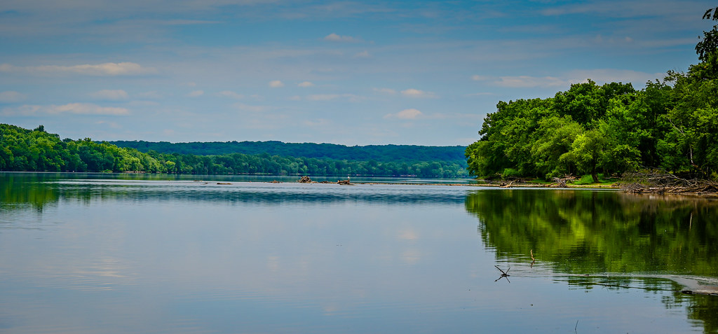
Panoramic view of a very calm Potomac River at Algonkian Regional Park - Sterling VA
sterling virginia unitedstates us aerial view potomac river upon landing washingtondulles iad airport chantilly va maryland md water
Aerial view of Potomac River upon landing at Washington-Dulles IAD Airport - Chantilly VA
world pictures sky sun building slr clouds photoshop magazine landscape virginia site interestingness interesting fantastic state sony landmark historic explore tavern flare alpha 35 winners hdr smashing a100 2007 sunflare lightroom dranesville photomatix fivestars photomatixpro 7xp sonyalpha dslra100 sonyalpha100 sonydslra100 ideasplayground diamondclassphotographer flickrdiamond smashingmagazine thegoldeningot dranesvilletavern photoshoproyalty explorewinnersoftheworld 35fantastichdr
Dranesville Tavern
flora dogwoodweek42 dogwood52 ashburn virginia unitedstates us
week 42 - minimalist
bible christianity dance humility god eternal light grace supplication
The Eternal & Jeremiah Dance
mckeebesherswildlifemanagementarea maryland poolesville seneca unitedstates sunflowers landscape montgomerycounty
McKee-Beshers Sunflower fields
mckeebesherswildlifemanagementarea maryland poolesville seneca unitedstates sunflowers landscape montgomerycounty
McKee-Beshers Sunflower fields
autumn tree gold nature landscape virginia bible exodus pillar christianity
Exodus 13
mckeebesherswildlifemanagementarea maryland poolesville seneca unitedstates sunflowers landscape montgomerycounty
McKee-Beshers Sunflower fields
ashburn virginia unitedstatesofamerica sunset water nature landscape summer reflection lake sky tree river outdoors grass sunrisedawn sun sunny nopeople day ruralscene square theamericas northamerica nonurbanscene scenicsnature davehallock hallock samsung pond glow color art
A great way to start the day.
religion christianity lion judah flowers sunset nature september field virginia
Lion Rides the Clouds
mckeebesherswildlifemanagementarea sunflowers maryland montgomerycounty poolesville seneca landscape
McKee-Beshers Sunflower fields
pond vines winery
Vines and hills
My Conundrum
tree landscape water lake nature reflection storm sky rain grass horizontal wide naturalparkland publicpark nopeople cloudsky beauty standingwater lightnaturalphenomenon outdoors beautyinnature atmosphericmood moodysky overcast dramaticsky powerinnature awe calmbeforethestorm wideshot wideangle nonurbanscene day scenicsnature majestic hallock davehallock nikon z6 ashburn va virginia alderlake
A storm cell moving in over Alder Lake
flower mckeebeshers clouds landscape maryland sky summer sunflowers sunrise
Blue Hour at McKee-Beshers
flower mckeebeshers clouds landscape maryland sky summer sunflowers sunrise
Sunflowers at Blue Hour
hallock davehallock nikon nikonz6 water reflection lake lightning landscape dark nature storm sky wide longexposure nopeople square outdoors wideshot wideangle nonurbanscene scenicsnature z6 ashburn va virginia bolt
Evening light show (Explored)
sterling virginia unitedstates potomac river during late afternoon along algonkian regional park va loudoun county parc water shoreline trees treeline dusk blue paysage landscape
Potomac River during late afternoon along Algonkian Regional Park Sterling VA