Elevation of Curry Rd, Iberia, MO, USA
Location: United States > Missouri > Miller County > Richwoods Township >
Longitude: -92.3921279
Latitude: 38.0599189
Elevation: 294m / 965feet
Barometric Pressure: 0KPa
Related Photos:
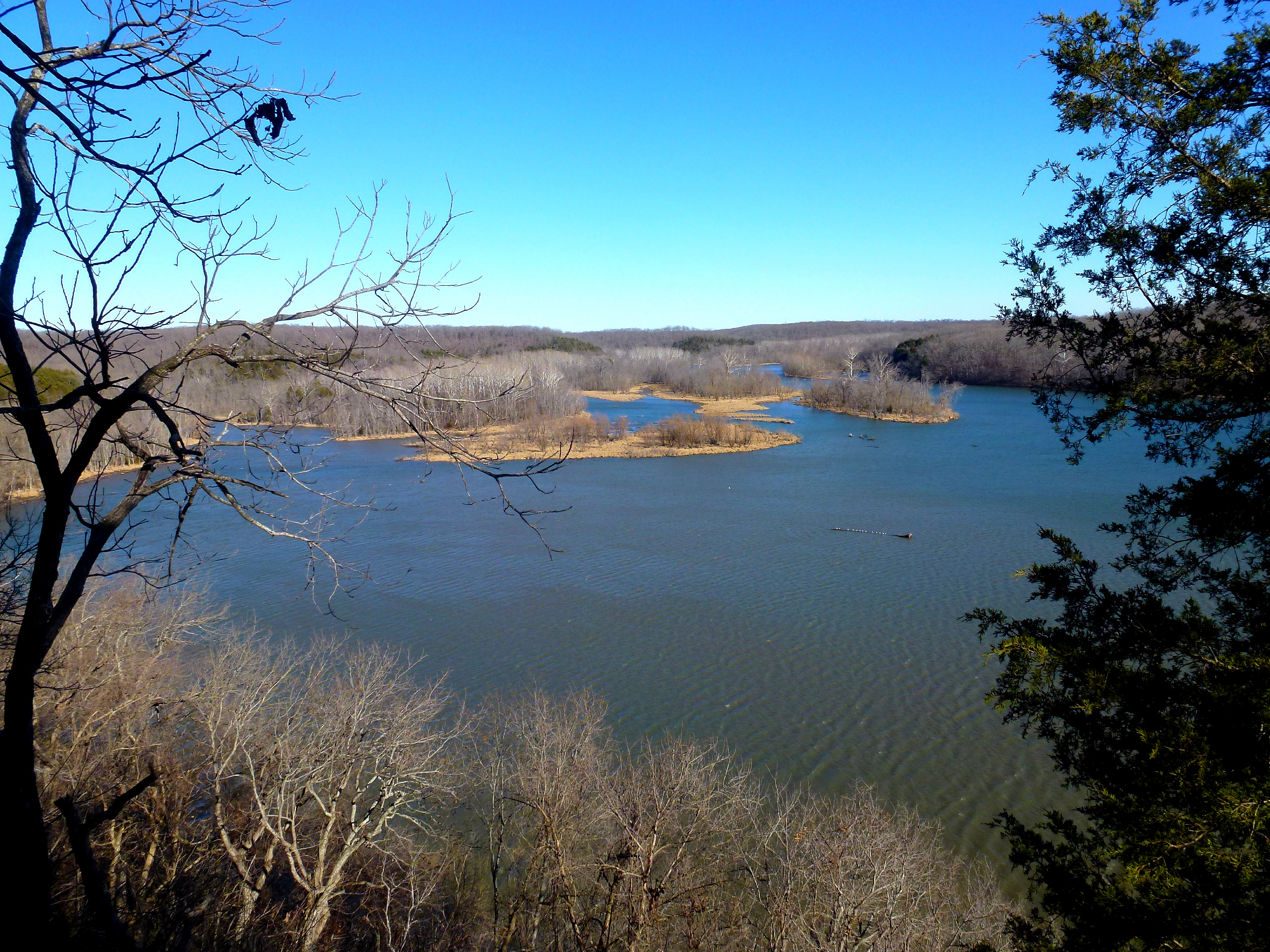
View from the Hidden Springs Overlook

Lake Comes Into View on the Hidden Springs Trail

Zigzag Trail
lake-of-the-ozarks_DSC4065
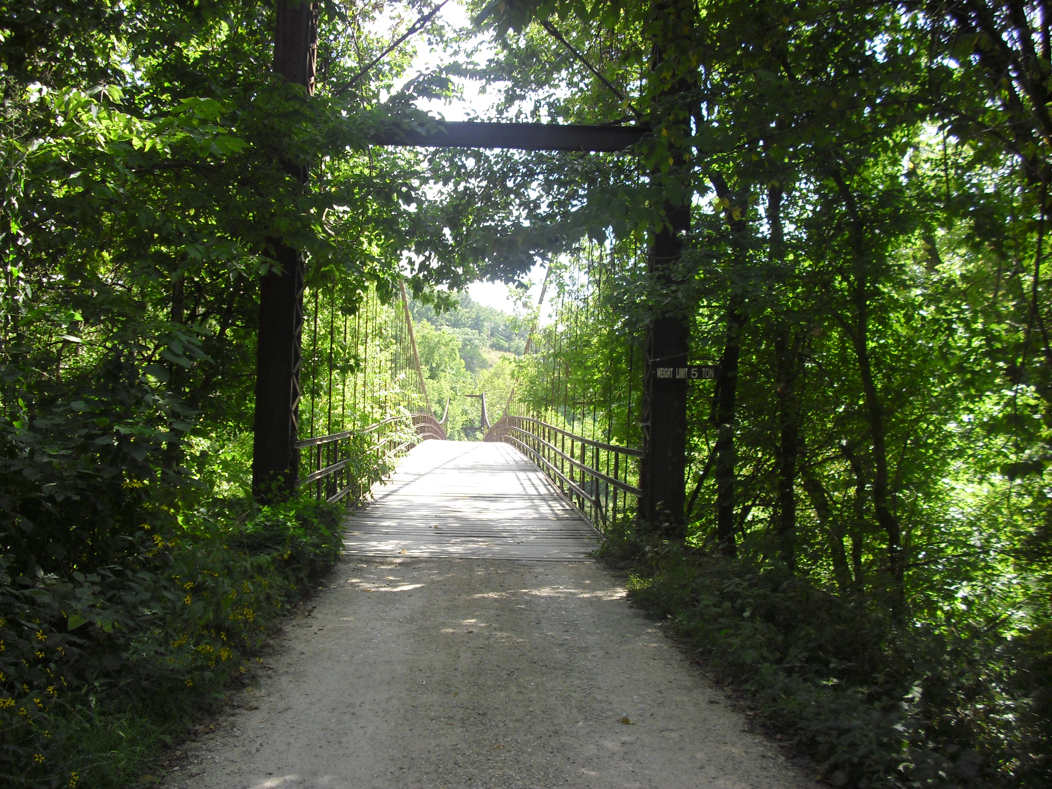
Grand Auglaize Swinging Bridge
Swinging Bridges
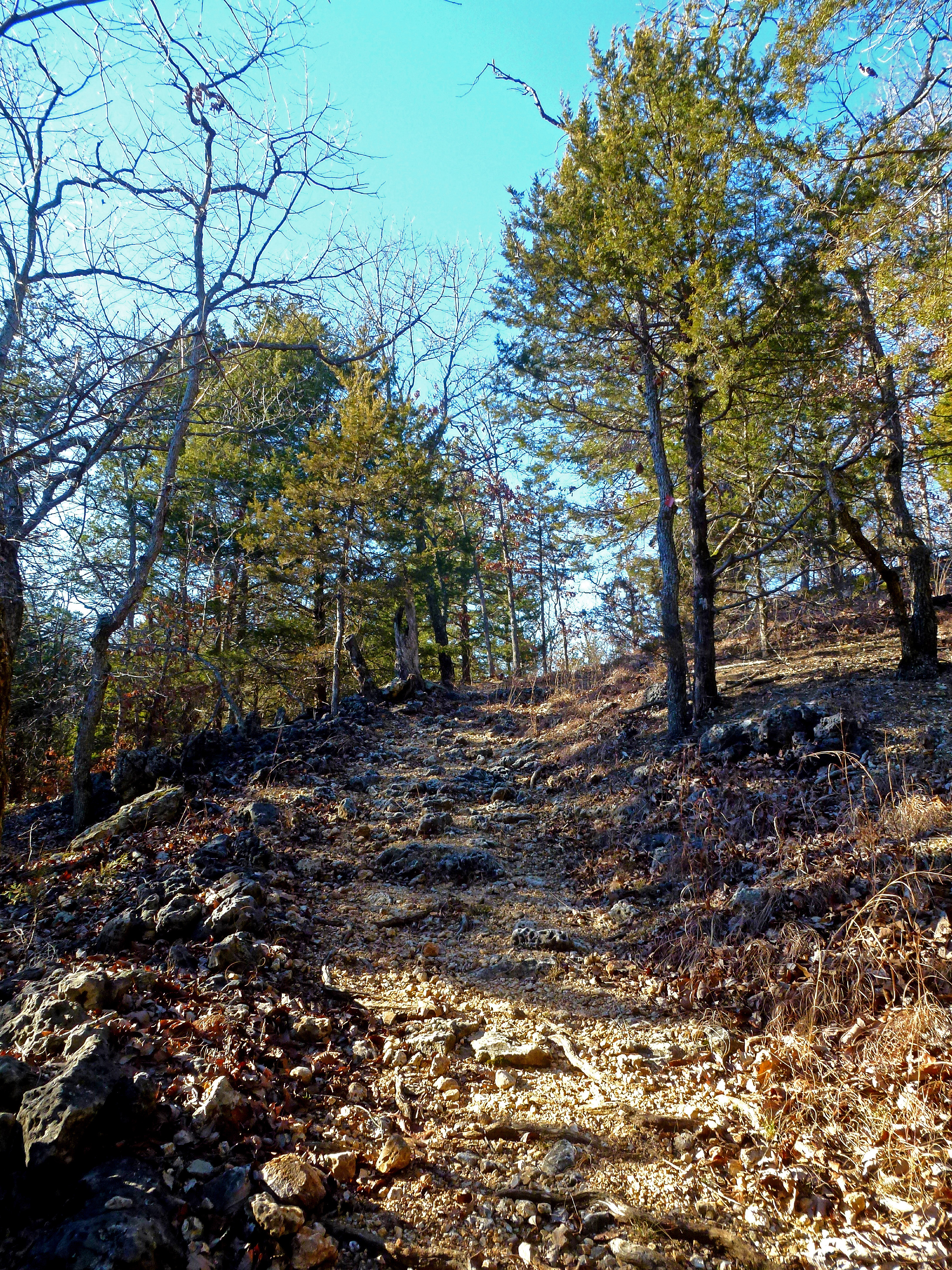
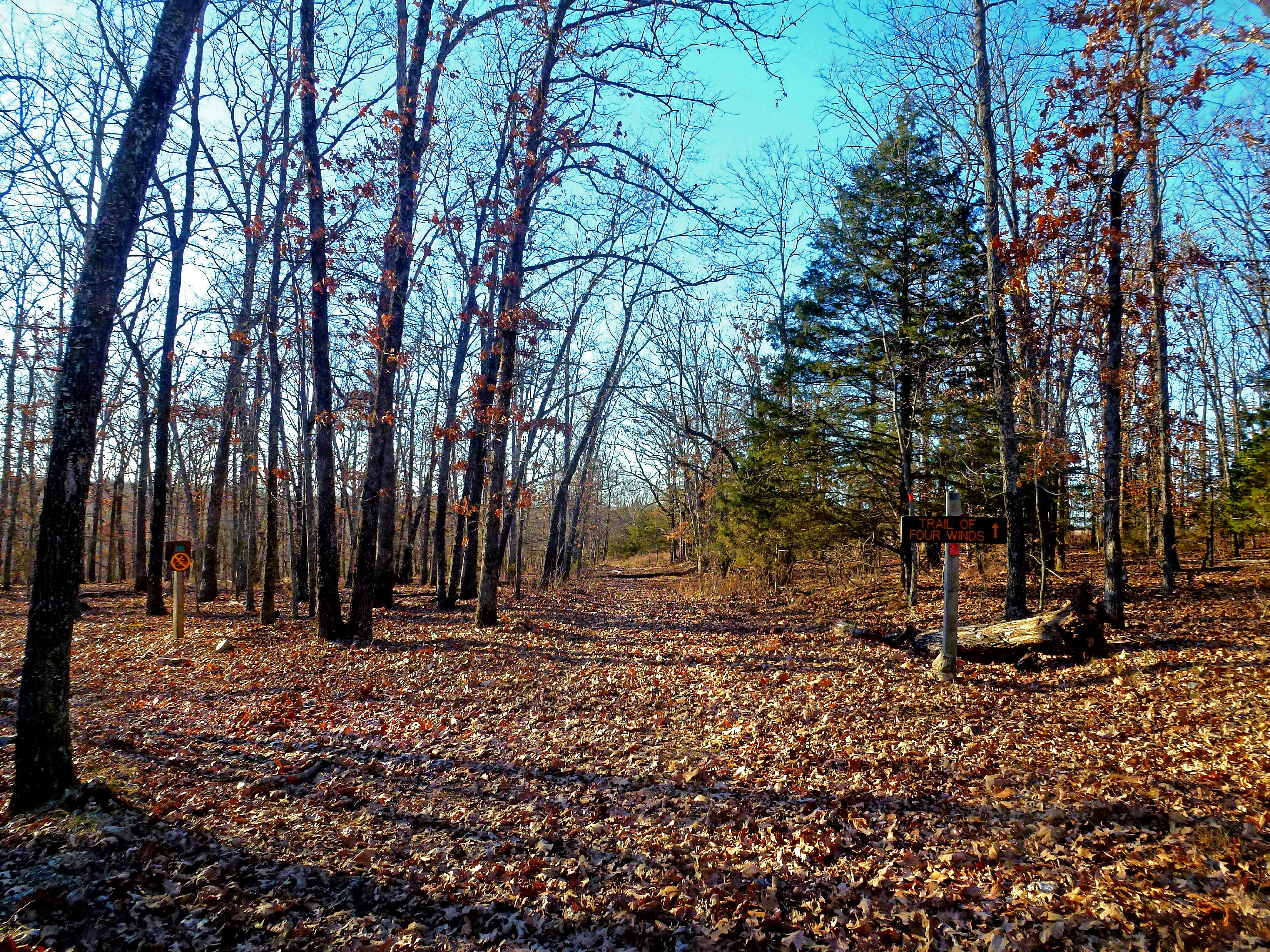
Ascent on the Trail of the Four Winds

Tall Trees

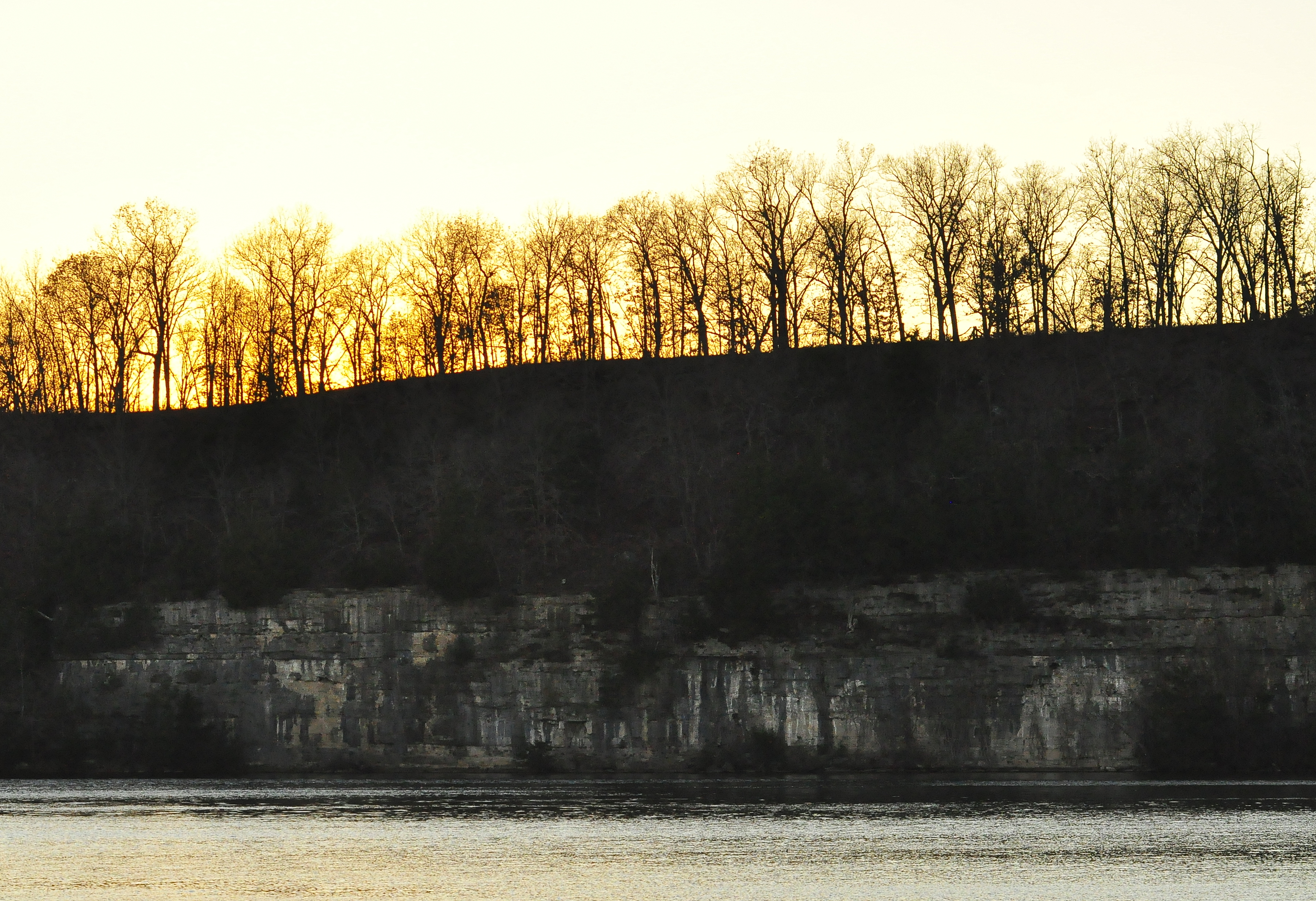
Bluffs Along the Trail of the Four Winds
lake-of-the-ozarks_DSC4051
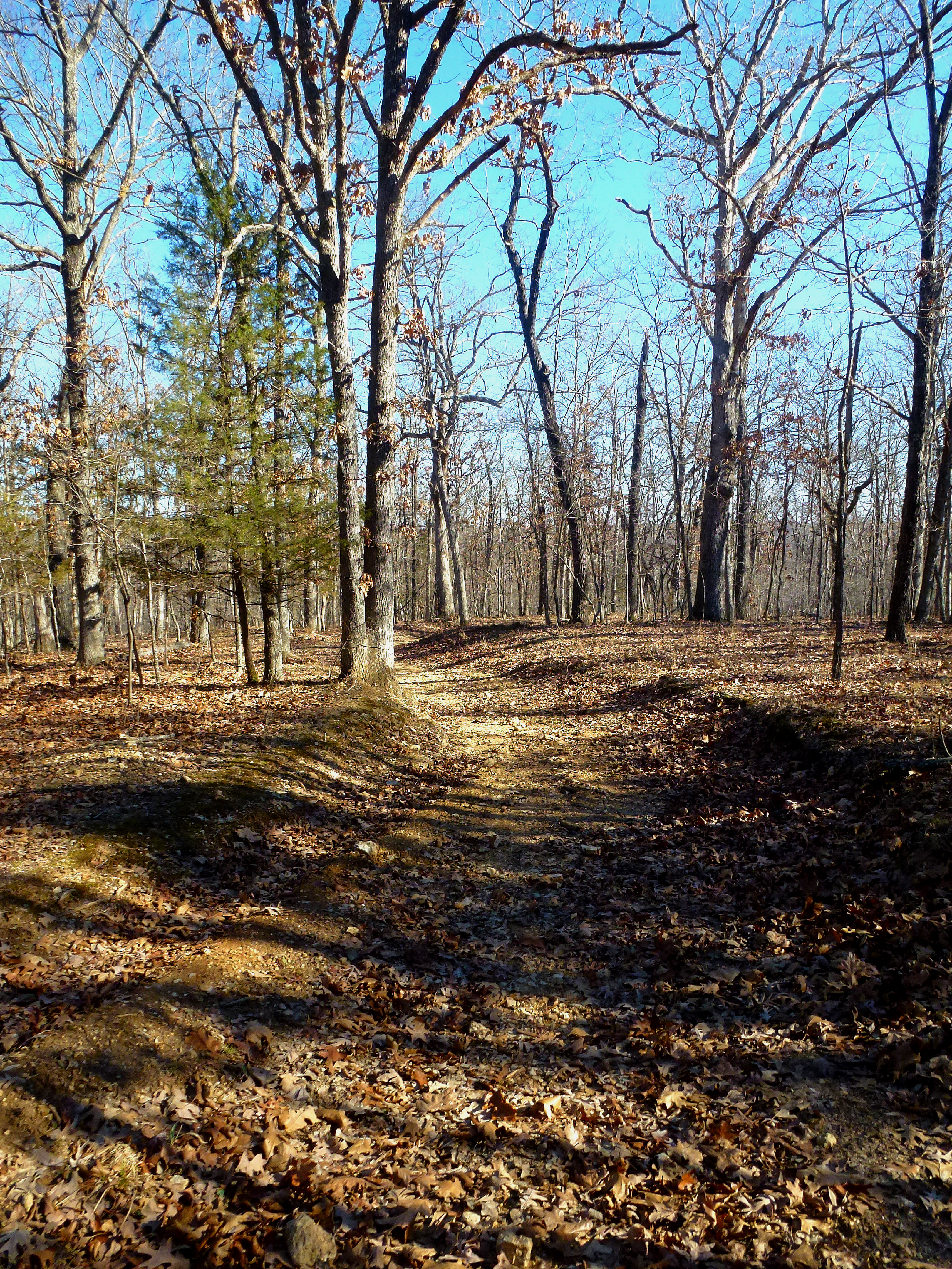
Wide Hidden Springs Bridle Trail
Down the Trail of the Four Winds

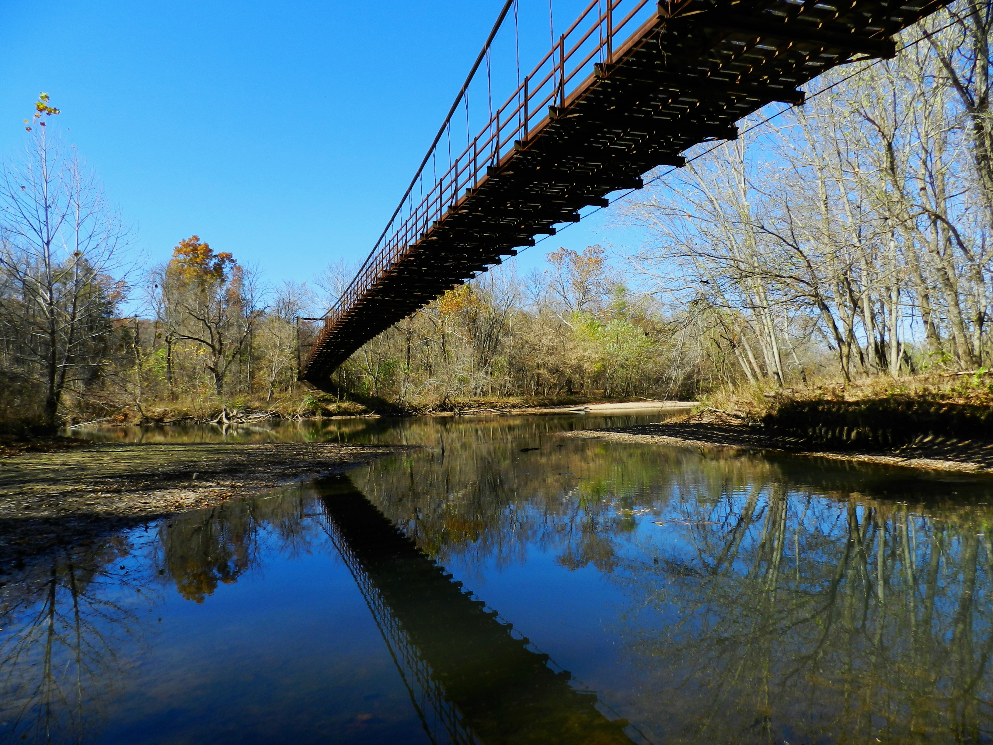
Under The Swinging Bridges

Under The Swinging Bridges
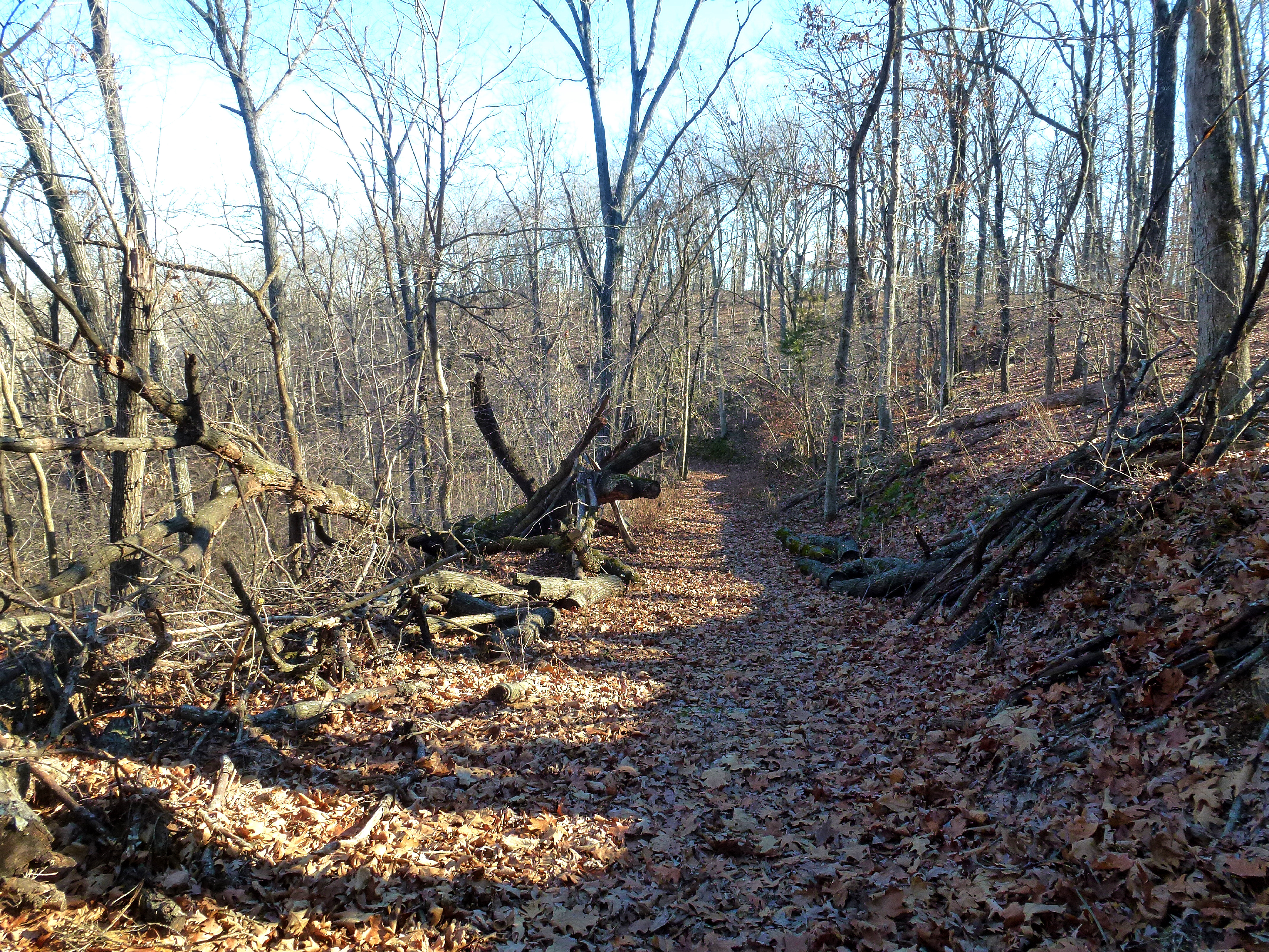
Trail of the Four Winds Diverges
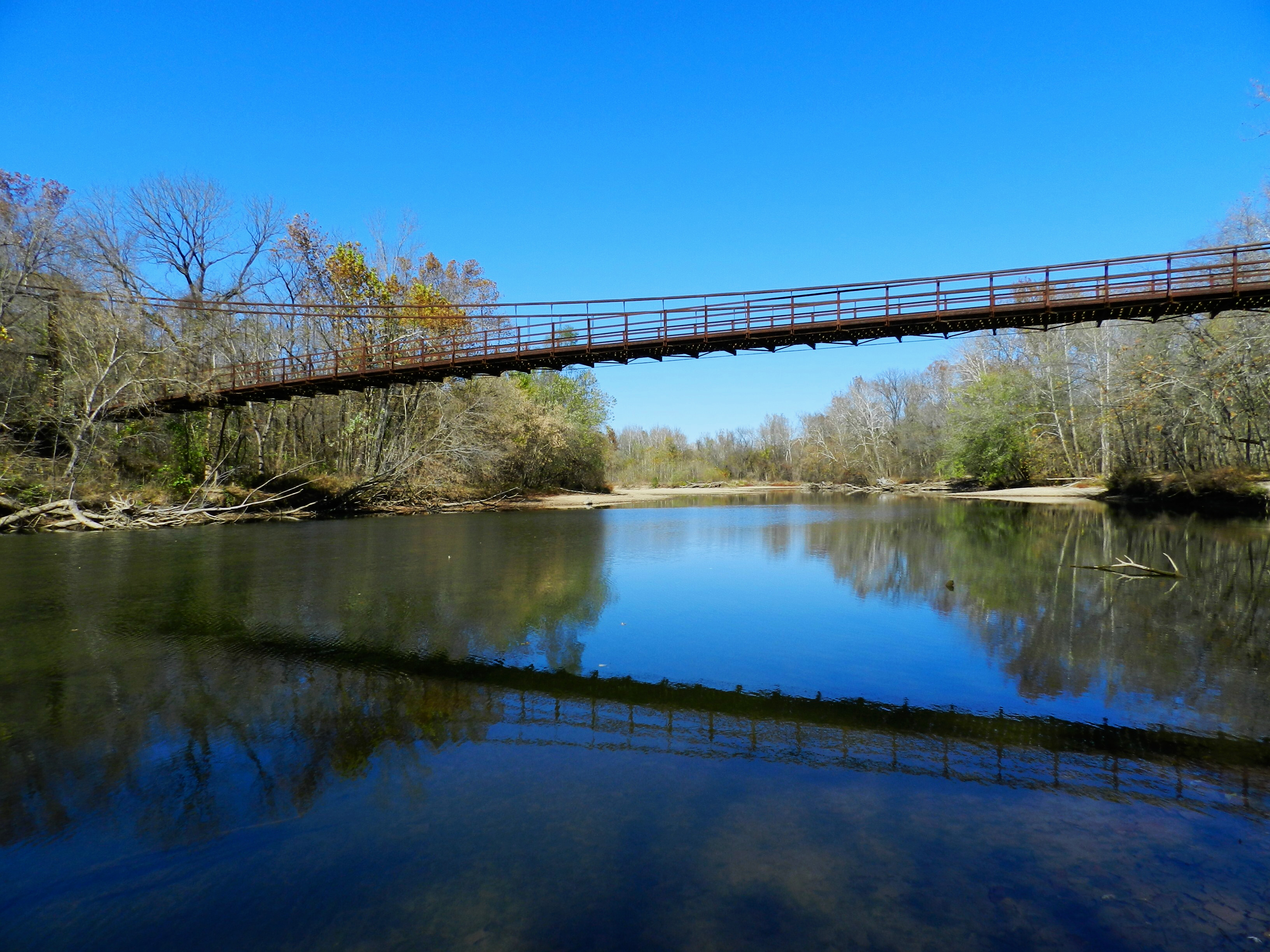
Swinging Bridges

Swinging Cable Bridge
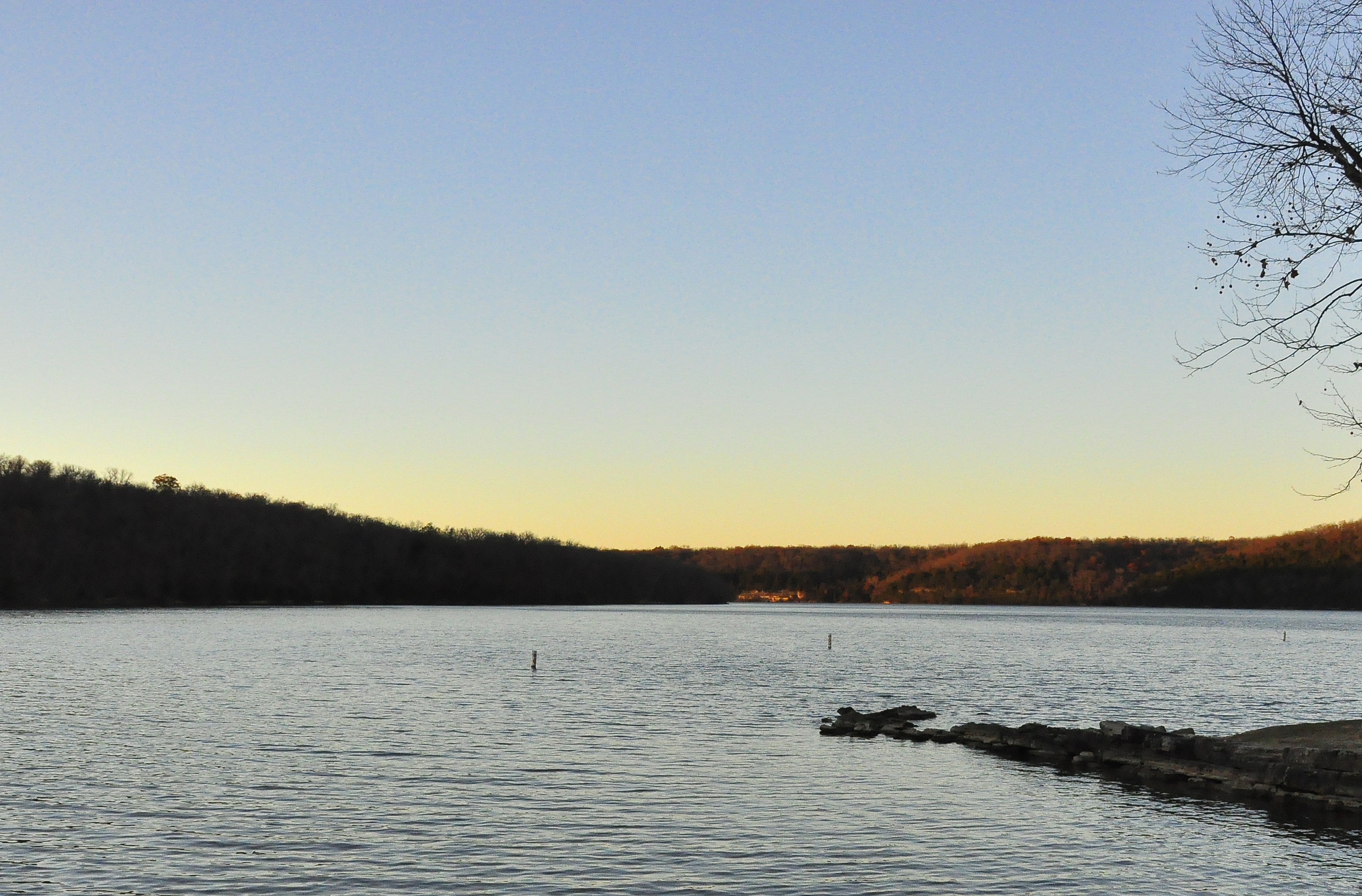
The Lake
Topographic Map of Curry Rd, Iberia, MO, USA
Find elevation by address:

Places near Curry Rd, Iberia, MO, USA:
Hawkeye
21 County Rd 42-24
1812 State Hwy 42
Brumley
MO-42, Iberia, MO, USA
Iberia
12265 Belle Rd
Benton Road
Richwoods Township
Tavern Township
850 Weber Farm Rd
950 Weber Farm Rd
Weber Farm Road
Miller County
1800 A-57
2000 A-57
Glaze Township
677 Rainwater Rd
Jackson Township
Equality Township
Recent Searches:
- Elevation map of Greenland, Greenland
- Elevation of Sullivan Hill, New York, New York, 10002, USA
- Elevation of Morehead Road, Withrow Downs, Charlotte, Mecklenburg County, North Carolina, 28262, USA
- Elevation of 2800, Morehead Road, Withrow Downs, Charlotte, Mecklenburg County, North Carolina, 28262, USA
- Elevation of Yangbi Yi Autonomous County, Yunnan, China
- Elevation of Pingpo, Yangbi Yi Autonomous County, Yunnan, China
- Elevation of Mount Malong, Pingpo, Yangbi Yi Autonomous County, Yunnan, China
- Elevation map of Yongping County, Yunnan, China
- Elevation of North 8th Street, Palatka, Putnam County, Florida, 32177, USA
- Elevation of 107, Big Apple Road, East Palatka, Putnam County, Florida, 32131, USA
- Elevation of Jiezi, Chongzhou City, Sichuan, China
- Elevation of Chongzhou City, Sichuan, China
- Elevation of Huaiyuan, Chongzhou City, Sichuan, China
- Elevation of Qingxia, Chengdu, Sichuan, China
- Elevation of Corso Fratelli Cairoli, 35, Macerata MC, Italy
- Elevation of Tallevast Rd, Sarasota, FL, USA
- Elevation of 4th St E, Sonoma, CA, USA
- Elevation of Black Hollow Rd, Pennsdale, PA, USA
- Elevation of Oakland Ave, Williamsport, PA, USA
- Elevation of Pedrógão Grande, Portugal