Elevation of Cumbre Dhaulagiri, León, Gto., Mexico
Location: Mexico > Guanajuato > Leon >
Longitude: -101.76342
Latitude: 21.0909089
Elevation: 1887m / 6191feet
Barometric Pressure: 81KPa
Elevation Map:
Satellite Map:
Related Photos:

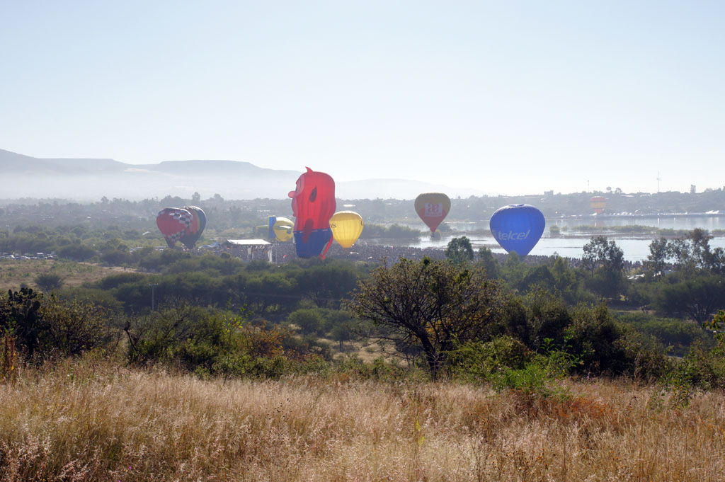
Another day, another flight. Beautiful views on my way to León. #nofilter #sunrise #travel
view of the runway landing site of the Yellow Jacket
Topographic Map of Cumbre Dhaulagiri, León, Gto., Mexico
Find elevation by address:

Places near Cumbre Dhaulagiri, León, Gto., Mexico:
Bosques Brasileños, El Granjeno Sur, León, Gto., Mexico
San Francisco Del Rincón
San Francisco Del Rincón
La Aldea
Calle Miguel Alemán 8, La Aldea, La Aldea, Gto., Mexico
La Aldea
Silao
Silao De La Victoria
Shrine Of Christ The King
Calle Aldama 33, Santa Teresa, Gto., Mexico
Santa Teresa
Marfil
Santa Fe
La Bufa
Juan Jasso El Viejo 8
Mineral De La Hacienda
Valenciana
Guanajuato
Bocamina San Ramón
Mina
Recent Searches:
- Elevation of Corso Fratelli Cairoli, 35, Macerata MC, Italy
- Elevation of Tallevast Rd, Sarasota, FL, USA
- Elevation of 4th St E, Sonoma, CA, USA
- Elevation of Black Hollow Rd, Pennsdale, PA, USA
- Elevation of Oakland Ave, Williamsport, PA, USA
- Elevation of Pedrógão Grande, Portugal
- Elevation of Klee Dr, Martinsburg, WV, USA
- Elevation of Via Roma, Pieranica CR, Italy
- Elevation of Tavkvetili Mountain, Georgia
- Elevation of Hartfords Bluff Cir, Mt Pleasant, SC, USA