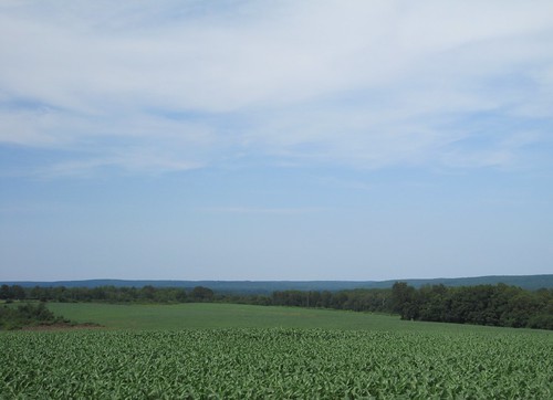
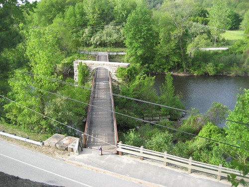
Elevation of CT-, Woodstock, CT, USA
Location: United States > Connecticut > Windham County > Woodstock >
Longitude: -72.017962
Latitude: 41.946968
Elevation: 218m / 715feet
Barometric Pressure: 99KPa
Related Photos:
Topographic Map of CT-, Woodstock, CT, USA
Find elevation by address:

Places near CT-, Woodstock, CT, USA:
224 Center Rd
148 Pulpit Rock Rd
Joy Road
Meehan Road
9 Meehan Rd
Bradford Corner Road
150 Center Cemetery Rd
529 County Rd
76 Center Rd
580 Center Rd
The Woodstock Academy - North Campus
50 Jeans Ct
Woodstock
The Inn At Woodstock Hill
74 Cady Ln
Norwich Worcester Turnpike, Woodstock, CT, USA
224 English Neighborhood Rd
Child Hill Road
151 Woodstock Rd
Child Road
Recent Searches:
- Elevation of Corso Fratelli Cairoli, 35, Macerata MC, Italy
- Elevation of Tallevast Rd, Sarasota, FL, USA
- Elevation of 4th St E, Sonoma, CA, USA
- Elevation of Black Hollow Rd, Pennsdale, PA, USA
- Elevation of Oakland Ave, Williamsport, PA, USA
- Elevation of Pedrógão Grande, Portugal
- Elevation of Klee Dr, Martinsburg, WV, USA
- Elevation of Via Roma, Pieranica CR, Italy
- Elevation of Tavkvetili Mountain, Georgia
- Elevation of Hartfords Bluff Cir, Mt Pleasant, SC, USA


