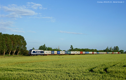
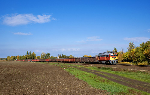
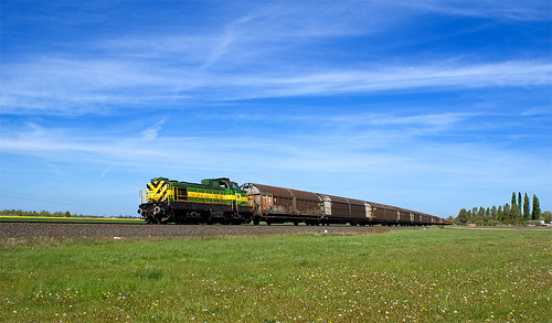
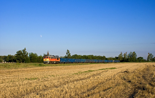
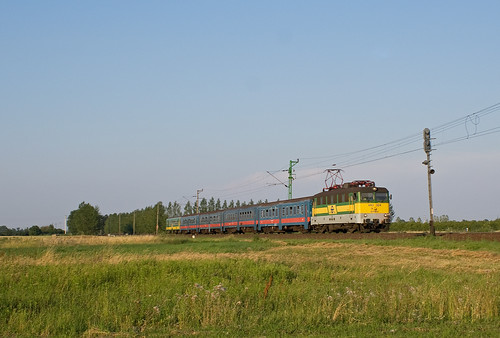
Elevation of Csorna, Hungary
Location: Hungary >
Longitude: 17.2462444
Latitude: 47.6103234
Elevation: 118m / 387feet
Barometric Pressure: 100KPa
Related Photos:
Topographic Map of Csorna, Hungary
Find elevation by address:

Places near Csorna, Hungary:
Csornai
Gyor-moson-sopron
Pásztori
Pásztori, Alsó u. 39, Hungary
Téti
Győrszemere
Fertőendréd
Fertőendréd Posta
Pápai
Lhpa
Pamhagen, Austria
Győrszemere, Gesztes út 1, Hungary
Pápa
Celldömölk
Nagygyimót
Győr
Pápakovácsi
Pápakovácsi, Attya puszta 4, Hungary
Sárvár
Pannonhalma
Recent Searches:
- Elevation of Corso Fratelli Cairoli, 35, Macerata MC, Italy
- Elevation of Tallevast Rd, Sarasota, FL, USA
- Elevation of 4th St E, Sonoma, CA, USA
- Elevation of Black Hollow Rd, Pennsdale, PA, USA
- Elevation of Oakland Ave, Williamsport, PA, USA
- Elevation of Pedrógão Grande, Portugal
- Elevation of Klee Dr, Martinsburg, WV, USA
- Elevation of Via Roma, Pieranica CR, Italy
- Elevation of Tavkvetili Mountain, Georgia
- Elevation of Hartfords Bluff Cir, Mt Pleasant, SC, USA
