Elevation of Crysler, ON K0A 1R0, Canada
Location: Canada > Ontario > Stormont, Dundas And Glengarry United Counties > North Stormont >
Longitude: -75.153922
Latitude: 45.2197249
Elevation: -10000m / -32808feet
Barometric Pressure: 295KPa
Elevation Map:
Satellite Map:
Related Photos:

Trans Canada Train 15
Trans Canada Train 10

Split Level

A view of Eastern Ontario countryside on the way to Montreal from Ottawa

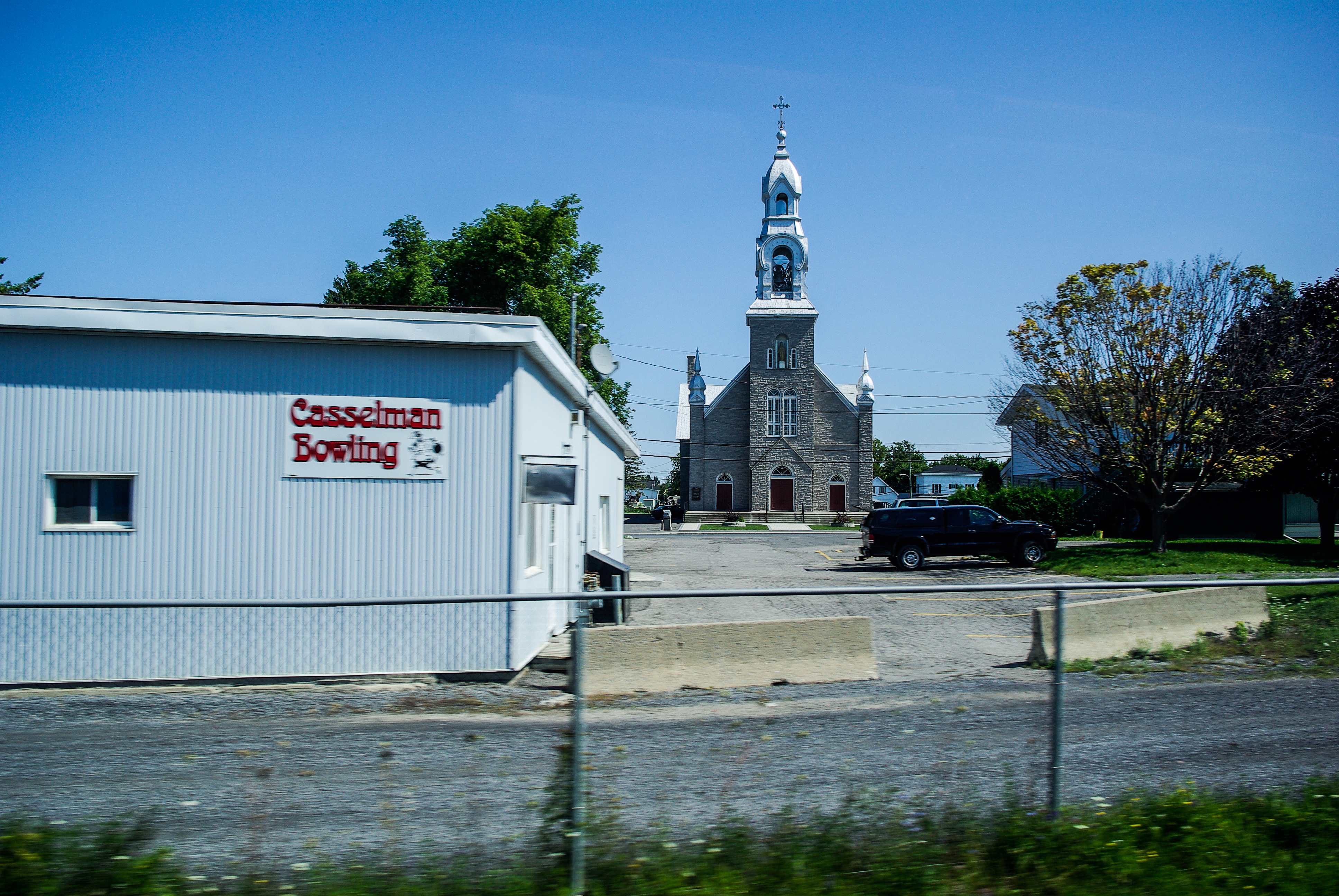
Casselman from the Other Side

My dreaded enemy: Eastern yellow jacket

A Tuft of Grass

Northern Hawk Owl - Surnia ulula - Classic Pose

365: Day 312
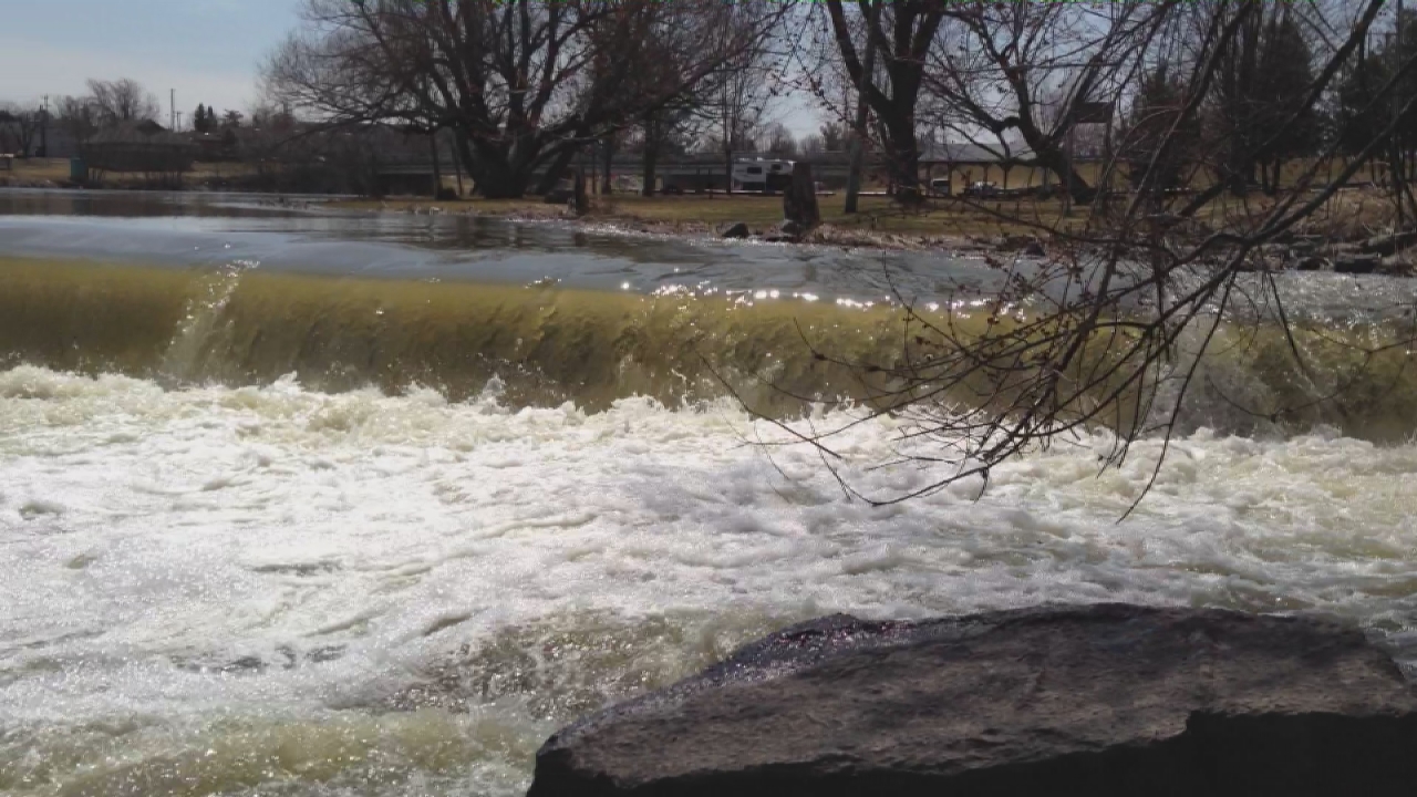
Casselman Dam video

Red Sky at Night

29112014_083720-1.jpg

Stark Sky
Topographic Map of Crysler, ON K0A 1R0, Canada
Find elevation by address:

Places near Crysler, ON K0A 1R0, Canada:
North Stormont
County Rd 32, North Stormont, ON K0A 1R0, Canada
53 Larose Ln, Embrun, ON K0A 1W0, Canada
40 Front St, Finch, ON K0C 1K0, Canada
Finch
Goldfield Rd S, Finch, ON K0C 1K0, Canada
1400 Lacroix Rd
South Nation Conservation
Metro
Casselman
Embrun
Chesterville
13666 Limerick Rd
10 Dignard St
Limoges
K0c 1h0
Embrun Your Independent Grocer
P5 - Atv Parking
County Rd 8, Chesterville, ON K0C 1H0, Canada
County Rd 12, Newington, ON K0C 1Y0, Canada
Recent Searches:
- Elevation of Corso Fratelli Cairoli, 35, Macerata MC, Italy
- Elevation of Tallevast Rd, Sarasota, FL, USA
- Elevation of 4th St E, Sonoma, CA, USA
- Elevation of Black Hollow Rd, Pennsdale, PA, USA
- Elevation of Oakland Ave, Williamsport, PA, USA
- Elevation of Pedrógão Grande, Portugal
- Elevation of Klee Dr, Martinsburg, WV, USA
- Elevation of Via Roma, Pieranica CR, Italy
- Elevation of Tavkvetili Mountain, Georgia
- Elevation of Hartfords Bluff Cir, Mt Pleasant, SC, USA