Elevation of Cripple Creek Ln, Pearland, TX, USA
Location: United States > Texas > Brazoria County > Pearland >
Longitude: -95.235660
Latitude: 29.5548304
Elevation: 12m / 39feet
Barometric Pressure: 101KPa
Elevation Map:
Satellite Map:
Related Photos:
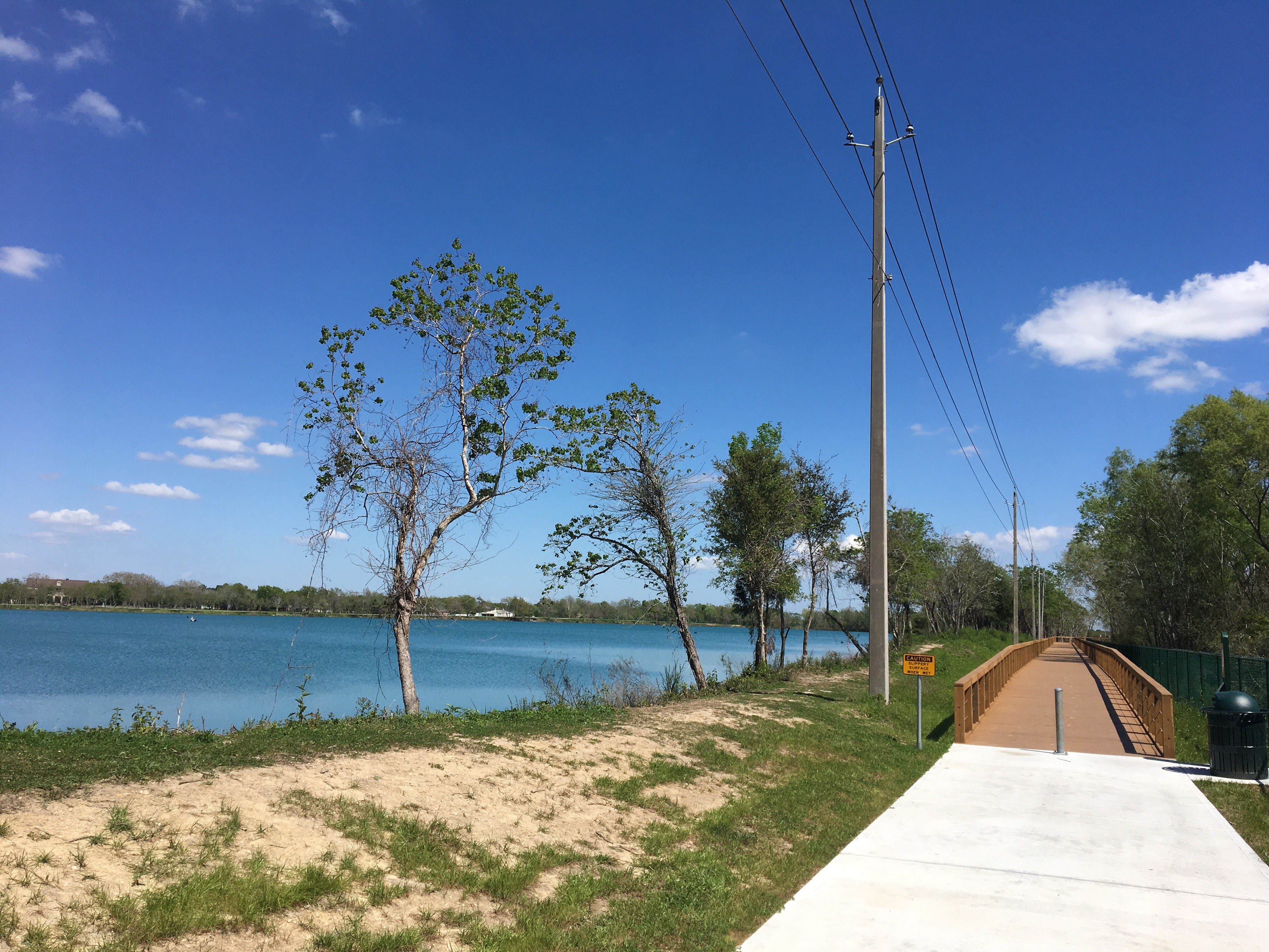
Trail and Lake View

Tiger Dragon
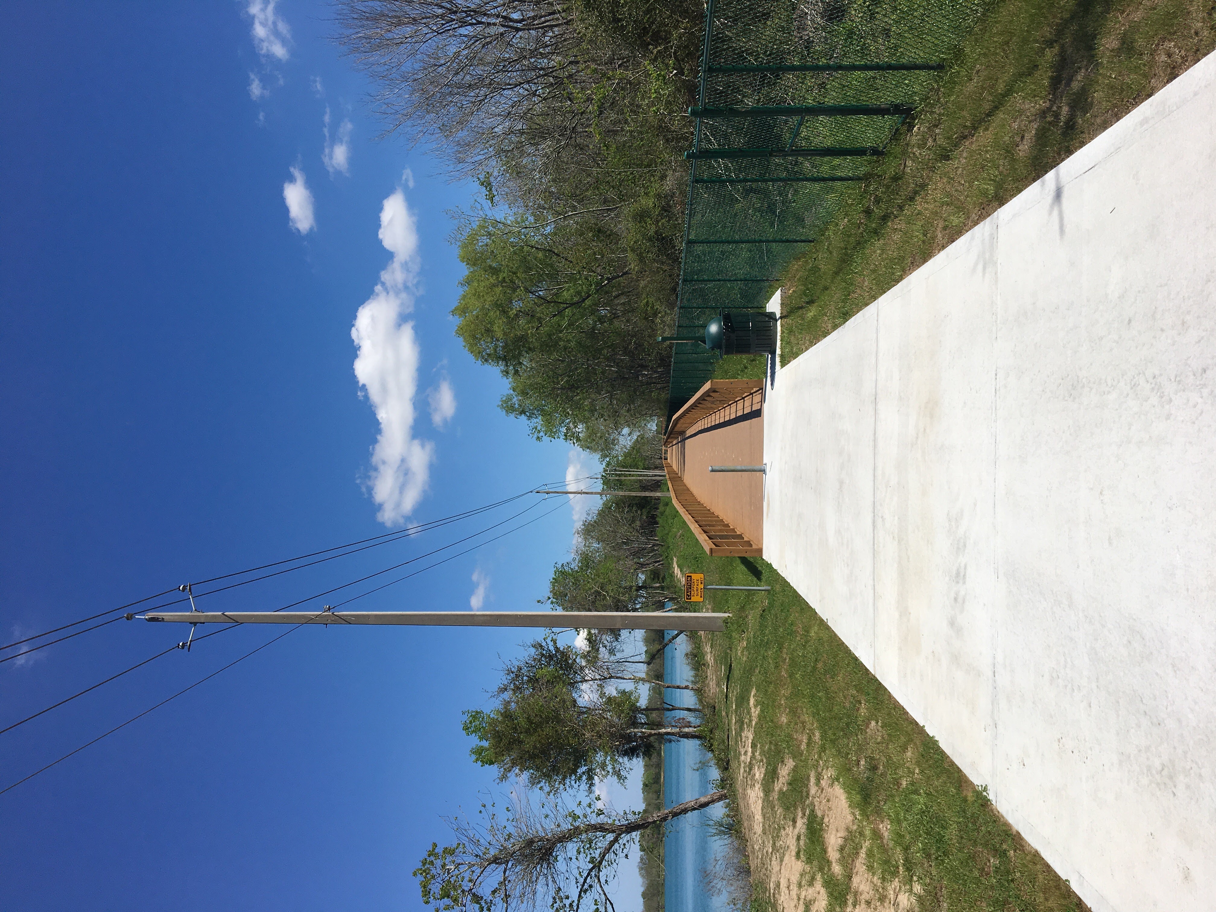
Trail and Lake View-2

Before your very eyes!

Beam me up

Morning Dragon

Fan Palm

The Weed Forgotten

The way it began

Another view

The waking of the sun

Carolina Chickadee

As invisible as you can be

Tulips in a Wheelbarrow

Uneasy Rider

Sylvan Sunset Houston, TX

The Weed Forgotten

War of Worlds Dragon

Gone Fishin'

A different day!

Winter Leaves
Topographic Map of Cripple Creek Ln, Pearland, TX, USA
Find elevation by address:

Places near Cripple Creek Ln, Pearland, TX, USA:
1821 Lazy Creek Ln
2908 Hamm Rd
2203 Sleepy Hollow Dr
2605 Mary Ave
3420 Shadycrest Dr
2717 Hazel St
2306 Aliaga Terrace Way
11419 Bandera Valley Ct
12311 Amanda Meadows
110 Dunbar Estates Dr
K. Hovnanian Homes Ashley Pointe - 70' Homesites
2405 Parkview Dr
2430 Laura Ln
2428 Colleen Dr
3904 Winding Forest Dr
Sagegate Drive
505 Castlelake Dr
2104 Tower Bridge Rd
12035 Christophers Walk Trail
The Forest Of Friendswood
Recent Searches:
- Elevation of Corso Fratelli Cairoli, 35, Macerata MC, Italy
- Elevation of Tallevast Rd, Sarasota, FL, USA
- Elevation of 4th St E, Sonoma, CA, USA
- Elevation of Black Hollow Rd, Pennsdale, PA, USA
- Elevation of Oakland Ave, Williamsport, PA, USA
- Elevation of Pedrógão Grande, Portugal
- Elevation of Klee Dr, Martinsburg, WV, USA
- Elevation of Via Roma, Pieranica CR, Italy
- Elevation of Tavkvetili Mountain, Georgia
- Elevation of Hartfords Bluff Cir, Mt Pleasant, SC, USA