Elevation of Creemore Springs Brewery Limited, Mill St, Creemore, ON L0M 1G0, Canada
Location: Canada > Ontario > Simcoe County > Clearview > Creemore >
Longitude: -80.105357
Latitude: 44.3249486
Elevation: 262m / 860feet
Barometric Pressure: 98KPa
Elevation Map:
Satellite Map:
Related Photos:

Autumn's Haunting Reminder - 4559

Roman Blind

Some Life

Jan 2 07 (From set of 72)

Carriage Shop Door

Neglected Window

Collingwood Rain

Looking Up-4119

Creemore Springs Brewery Limited

Lamonte Creek

"R" for Robert
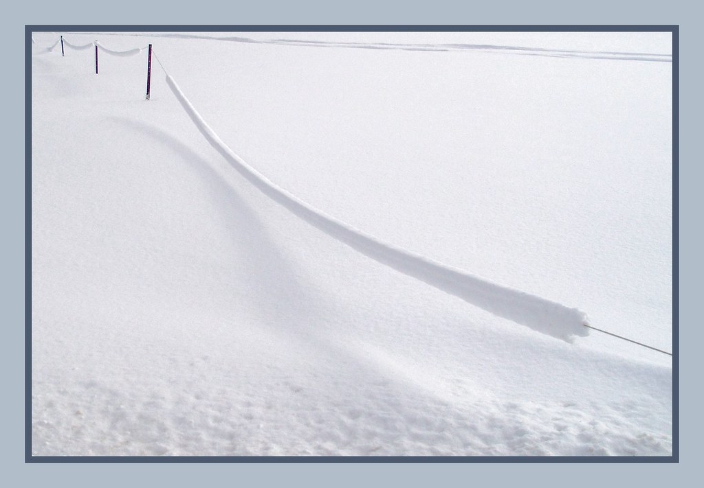
Snow on a Wire

A Quiet Place

Yellow Post

Vanishing Point

Crooked Little Stream

Morning Has Broken

Twist & Shout

The Orange Line

Far Far Away

Dream Tracks

Mist Key Hole

Hay, Hey!

The Birth of Azul

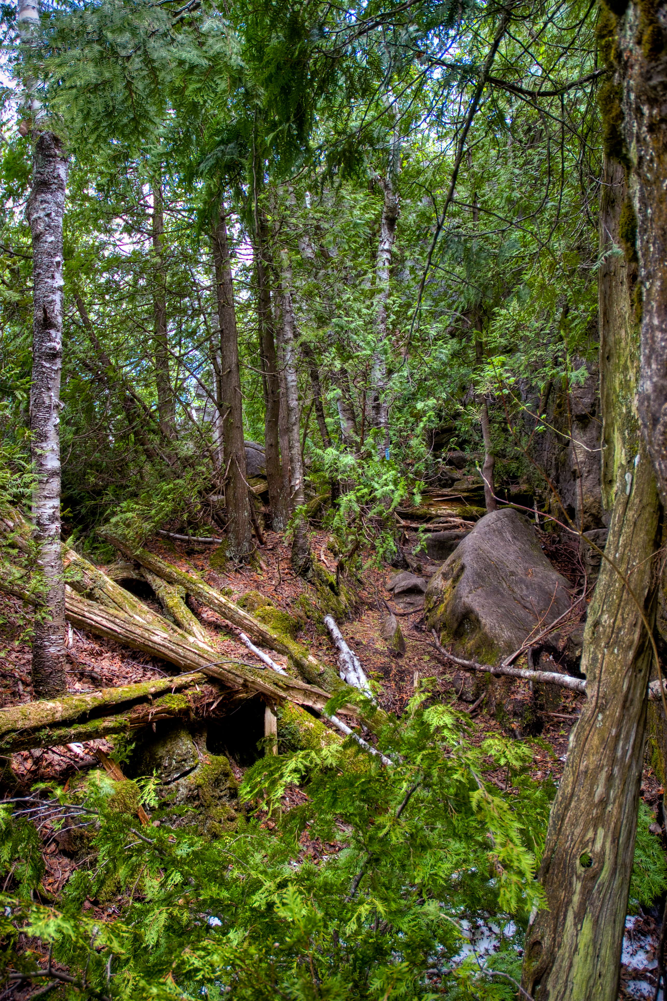
Bruce Trail, Nottawasaga

Nottawasaga Bluffs

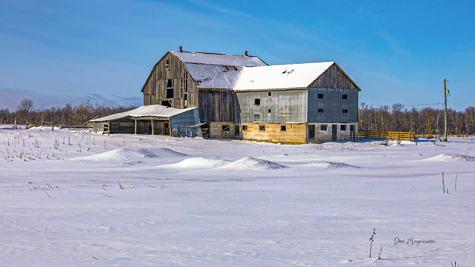
Old Barn

Nottawasaga Bluffs

Nottawasaga Meadow
Below The Eagles Nest

DSC_4223-Edit
Ontario - Adjala Township
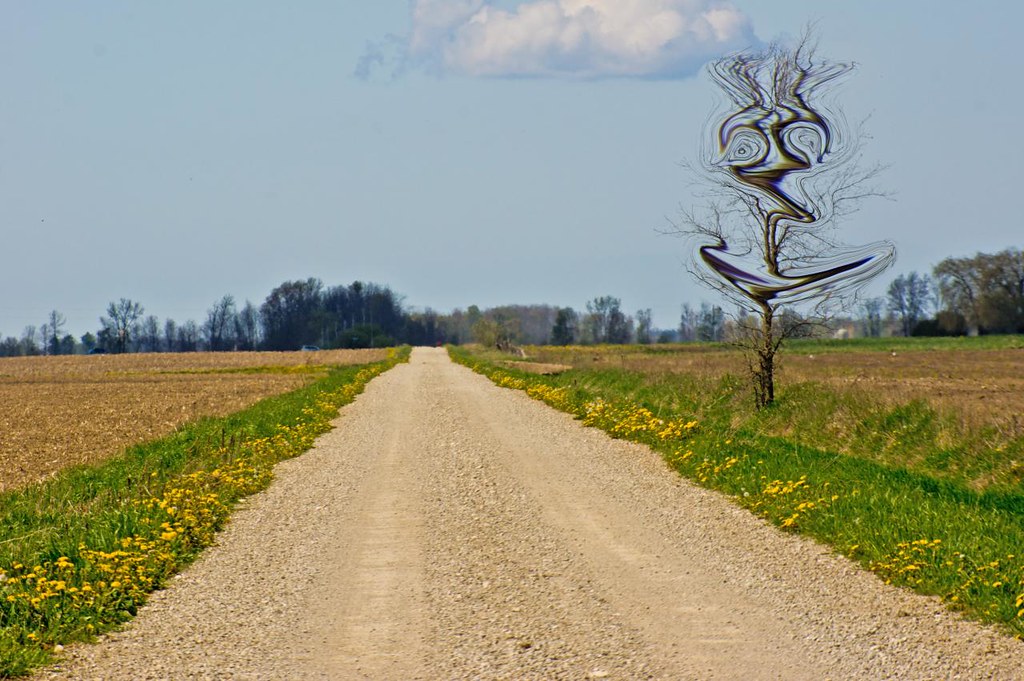
Dali's Tree

Winter Light

Blue Mountain Panorama from Glen Huron Sideroad

Stayner ECO Park

Spring Advancing

'Round The Farm

Hilly pasture

Dufferin Forest near Mansfield 3
Topographic Map of Creemore Springs Brewery Limited, Mill St, Creemore, ON L0M 1G0, Canada
Find elevation by address:

Places near Creemore Springs Brewery Limited, Mill St, Creemore, ON L0M 1G0, Canada:
Creemore
3478 Collingwood St
2 Robertson St, Collingwood, ON L9Y 0X1, Canada
Clearview
L0m 1s0
Glencairn
Tosorontio 32 Sideroad, Glencairn, ON L0M 1K0, Canada
Stayner
New Lowell
Cristiano Avenue
265 45th St S
2240 Shore Ln
2290 Shore Ln
3251-12 County Rd 10
2320 Shore Ln
Edenvale Aerodrome
Mill St, Angus, ON L0M 1B2, Canada
Angus
Minesing Wetlands
32 Decarolis Cres
Recent Searches:
- Elevation of Corso Fratelli Cairoli, 35, Macerata MC, Italy
- Elevation of Tallevast Rd, Sarasota, FL, USA
- Elevation of 4th St E, Sonoma, CA, USA
- Elevation of Black Hollow Rd, Pennsdale, PA, USA
- Elevation of Oakland Ave, Williamsport, PA, USA
- Elevation of Pedrógão Grande, Portugal
- Elevation of Klee Dr, Martinsburg, WV, USA
- Elevation of Via Roma, Pieranica CR, Italy
- Elevation of Tavkvetili Mountain, Georgia
- Elevation of Hartfords Bluff Cir, Mt Pleasant, SC, USA