Elevation of Crawford, GA, USA
Location: United States > Georgia > Oglethorpe County >
Longitude: -83.154596
Latitude: 33.8828954
Elevation: 237m / 778feet
Barometric Pressure: 99KPa
Elevation Map:
Satellite Map:
Related Photos:

Glowing goblet
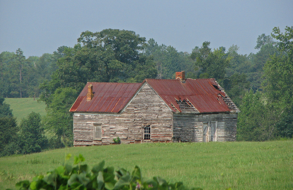
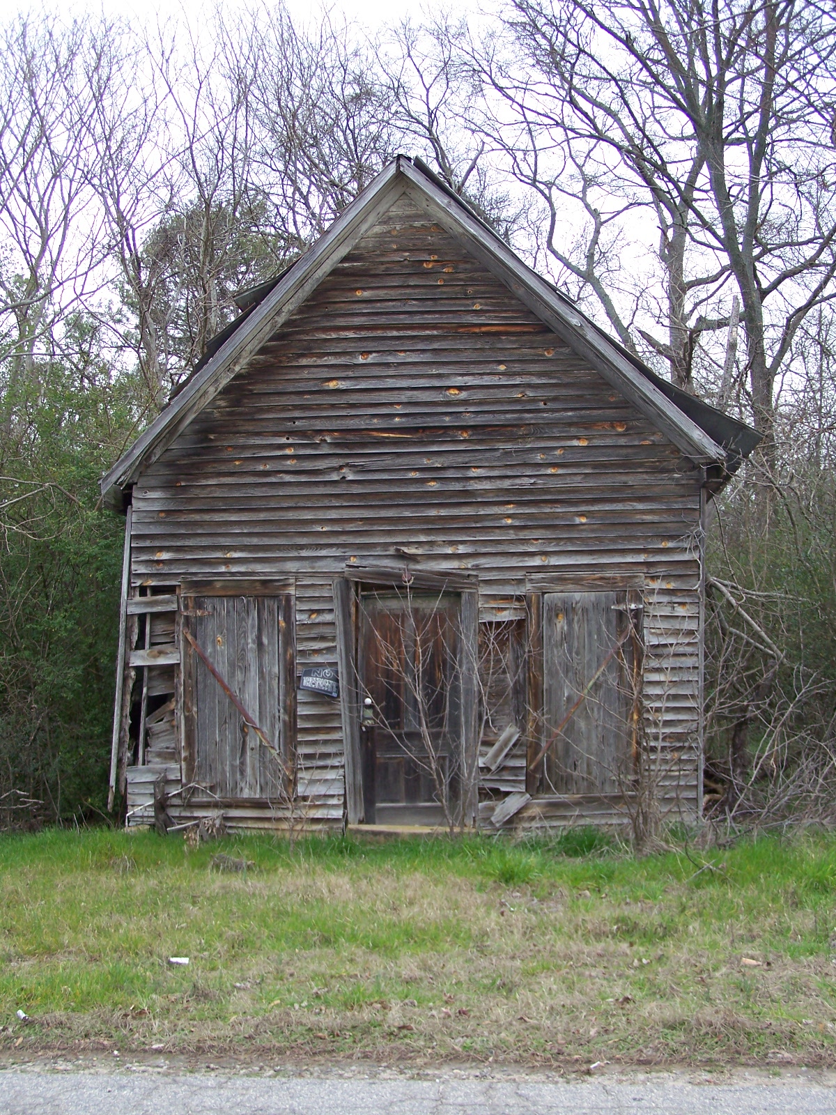
old house in rural georgia

Shaking Rock
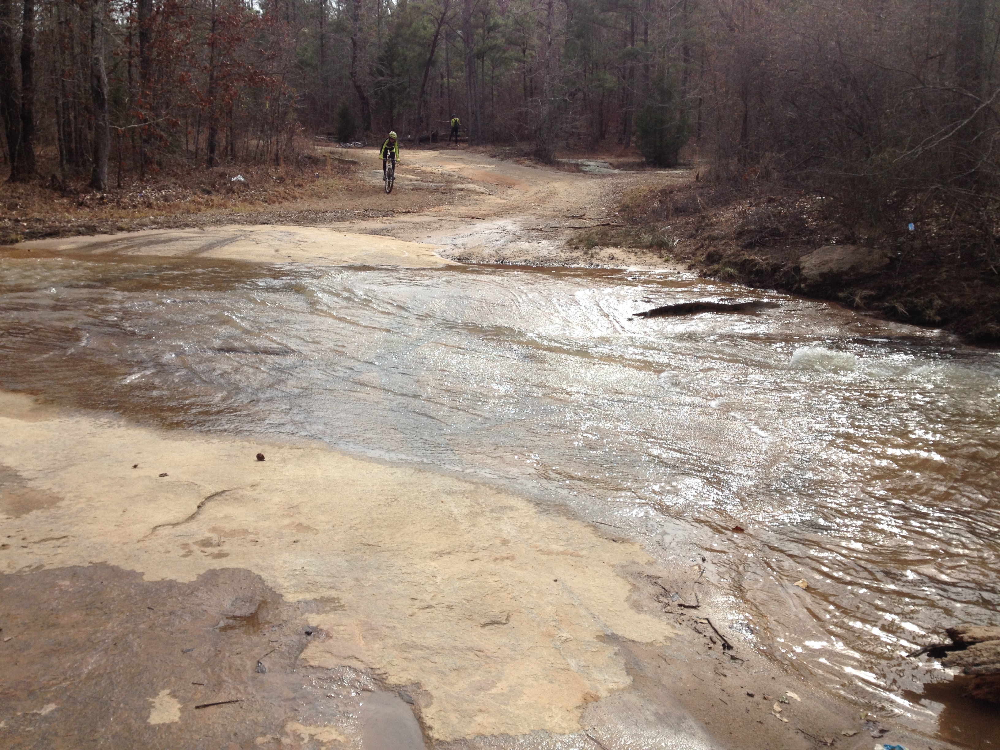
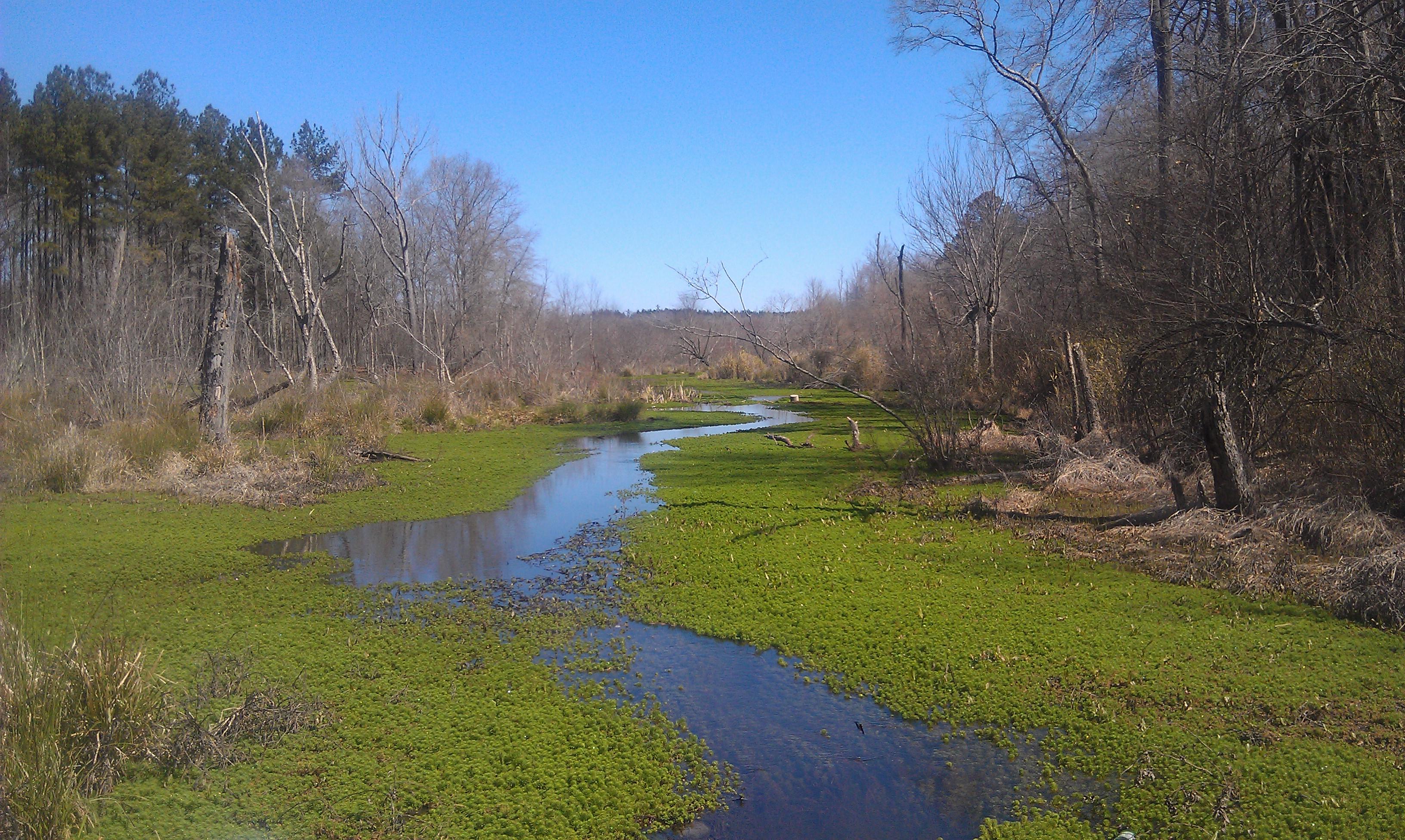
Looking for Spring

SBR_9910W.jpg

//004
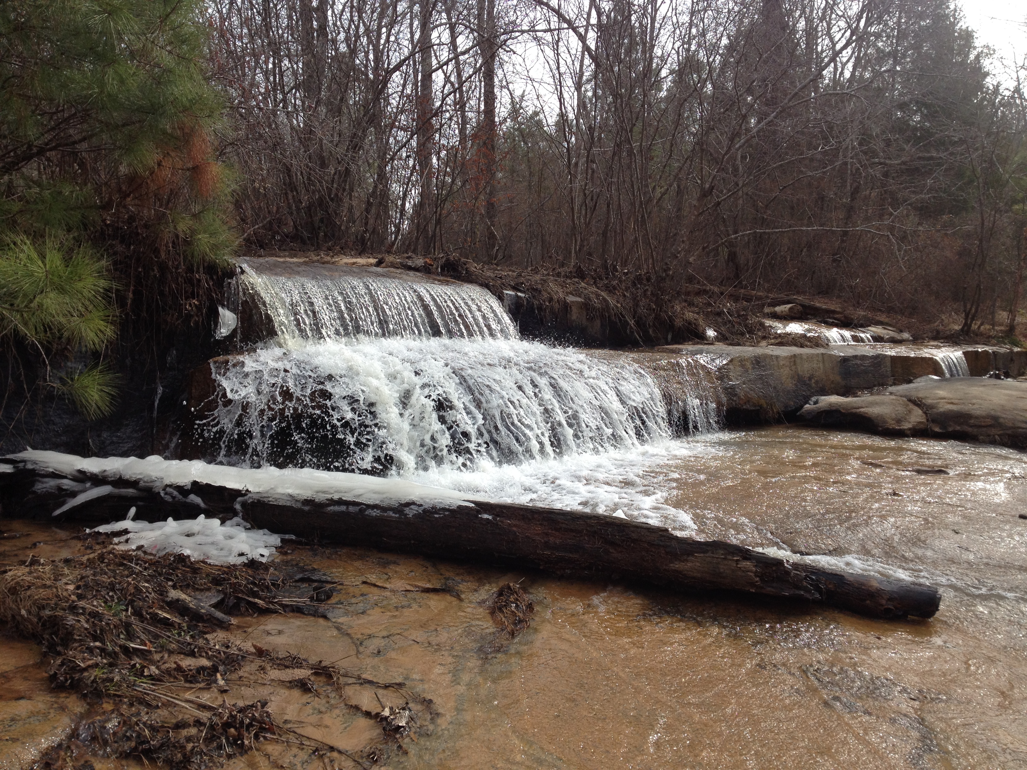
Falling Creek Falls

SBR_9912W.jpg
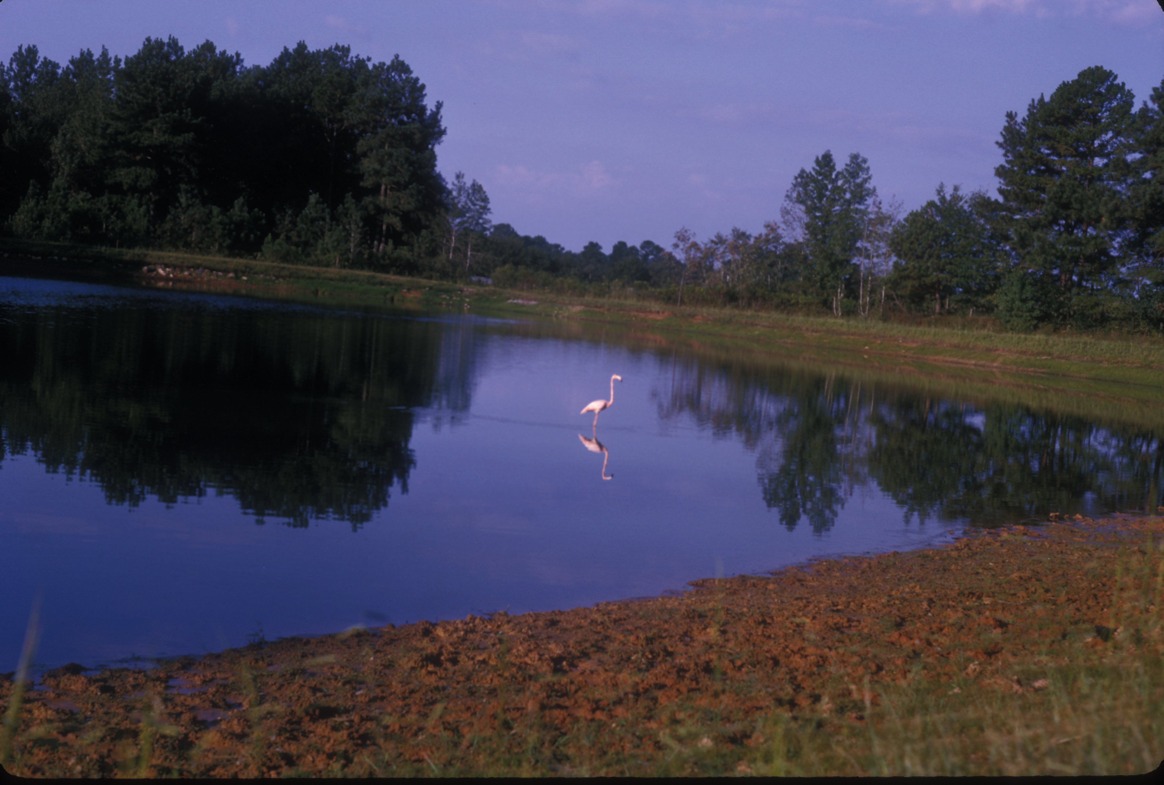
American Flamingo. GMNH 6310. Lago Lake, Clarke County, 25 September 1965. Photo by W. Wilson Baker
Falling Creek Shoal
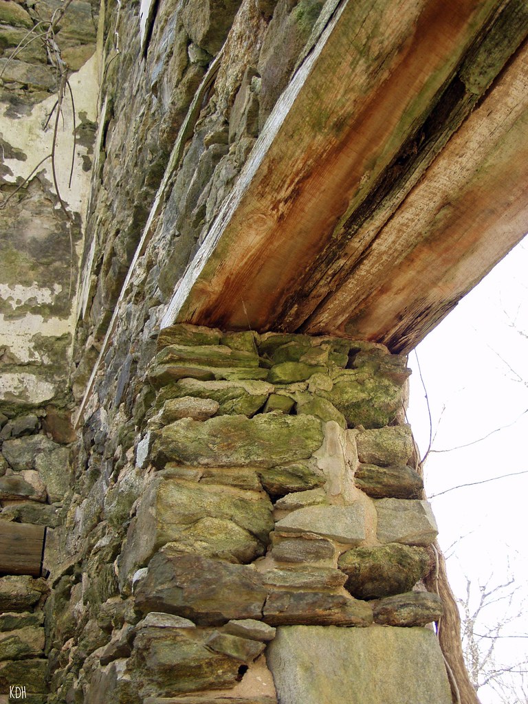
OLD BUILDING
Manager's House
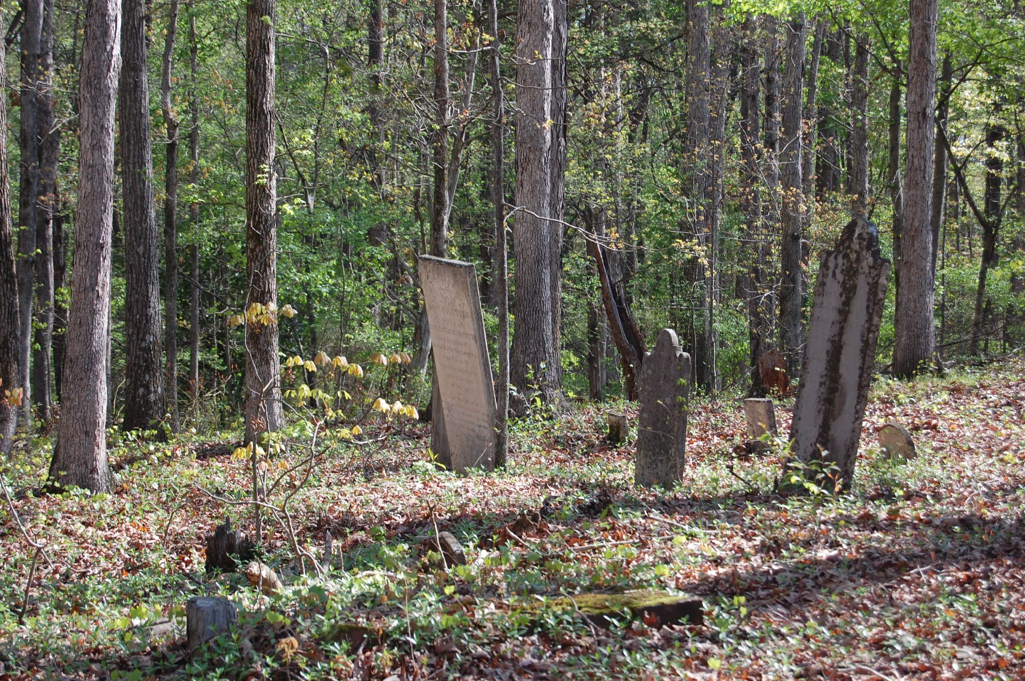
Cherokee Corners

Frank Sanders0029

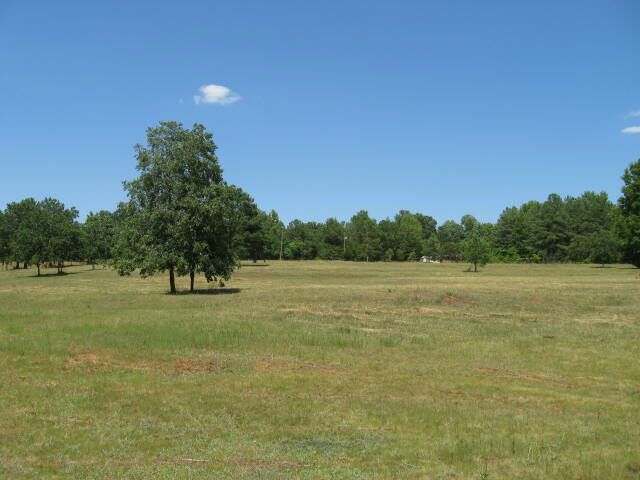
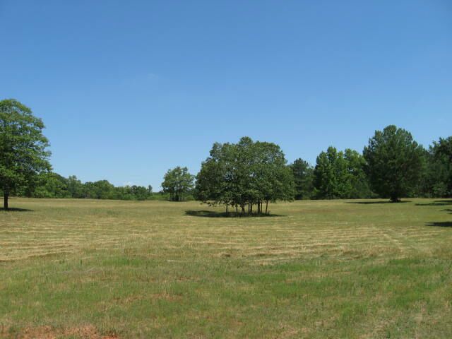
Farm Scene
On The Inside Looking Out
Frank Sanders0030
Frank Sanders0028
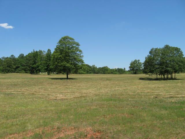
Oglethorpe County GA (1)
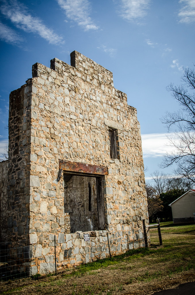
Arnoldsville Store Ruins
Frank Sanders0027
Topographic Map of Crawford, GA, USA
Find elevation by address:

Places in Crawford, GA, USA:
Places near Crawford, GA, USA:
156 Hargrove Lake Rd
Union Point Rd, Crawford, GA, USA
Lexington
Arnoldsville
3 Railroad St, Arnoldsville, GA, USA
142 Meyer Farm Rd
Yancey Road
Yancy Road
122 Wesley Chapel Rd
Stephens
Union Point Rd, Stephens, GA, USA
750 Double Bridges Rd
1250 Hutchins Wolfskin Rd
30 Steven's Grove Church Rd, Lexington, GA, USA
Oglethorpe County
Maxeys
Union Point Rd, Stephens, GA, USA
1540 Morton Rd
Millstone Cir, Athens, GA, USA
1510 Bob Godfrey Rd
Recent Searches:
- Elevation of Corso Fratelli Cairoli, 35, Macerata MC, Italy
- Elevation of Tallevast Rd, Sarasota, FL, USA
- Elevation of 4th St E, Sonoma, CA, USA
- Elevation of Black Hollow Rd, Pennsdale, PA, USA
- Elevation of Oakland Ave, Williamsport, PA, USA
- Elevation of Pedrógão Grande, Portugal
- Elevation of Klee Dr, Martinsburg, WV, USA
- Elevation of Via Roma, Pieranica CR, Italy
- Elevation of Tavkvetili Mountain, Georgia
- Elevation of Hartfords Bluff Cir, Mt Pleasant, SC, USA