Elevation of Crater Azul, 16°38'27.0"N 90°22'10., 8, Cdad. Tecún Umán, Guatemala
Location: Guatemala > Petén Department >
Longitude: -90.369679
Latitude: 16.6408267
Elevation: 115m / 377feet
Barometric Pressure: 100KPa
Elevation Map:
Satellite Map:
Related Photos:
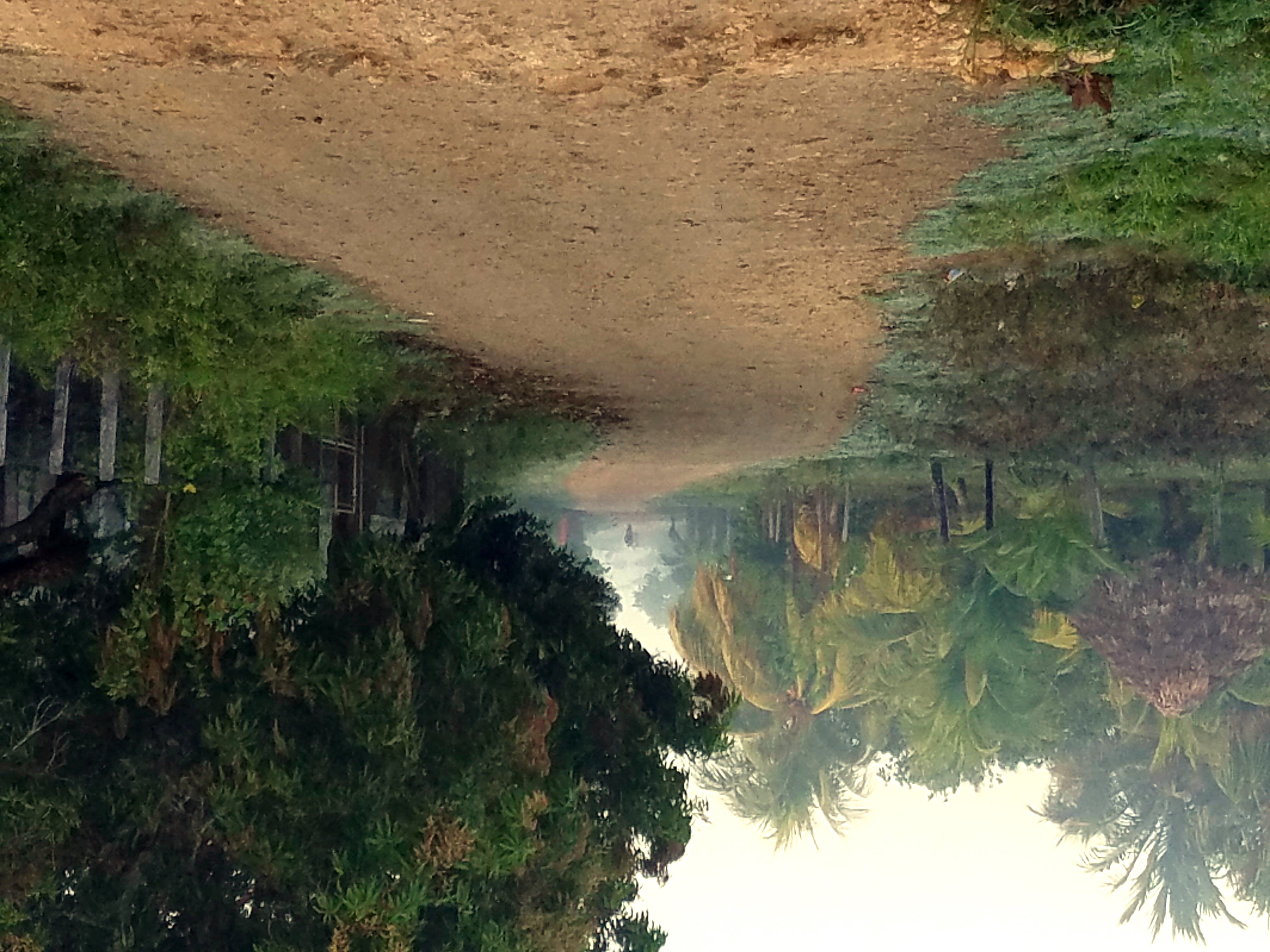
Valle Nuevo at Dawn, March 9, 2017

Salta salta

Tomando un chapuzón en Cráter Azul

Playing it cool
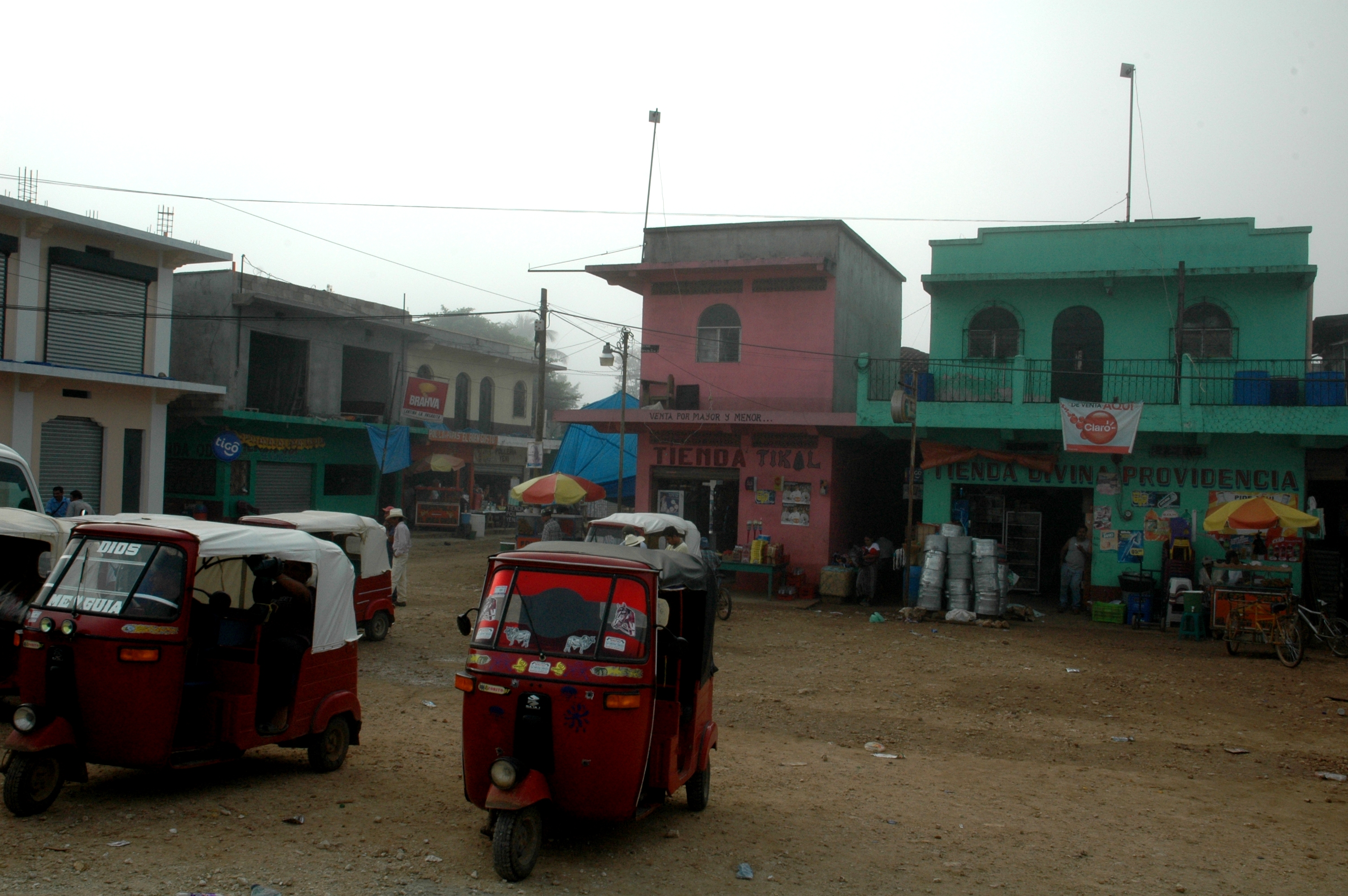
115 God leidt iedereen. Ook de eigenaar van de linker ijzeren hond.
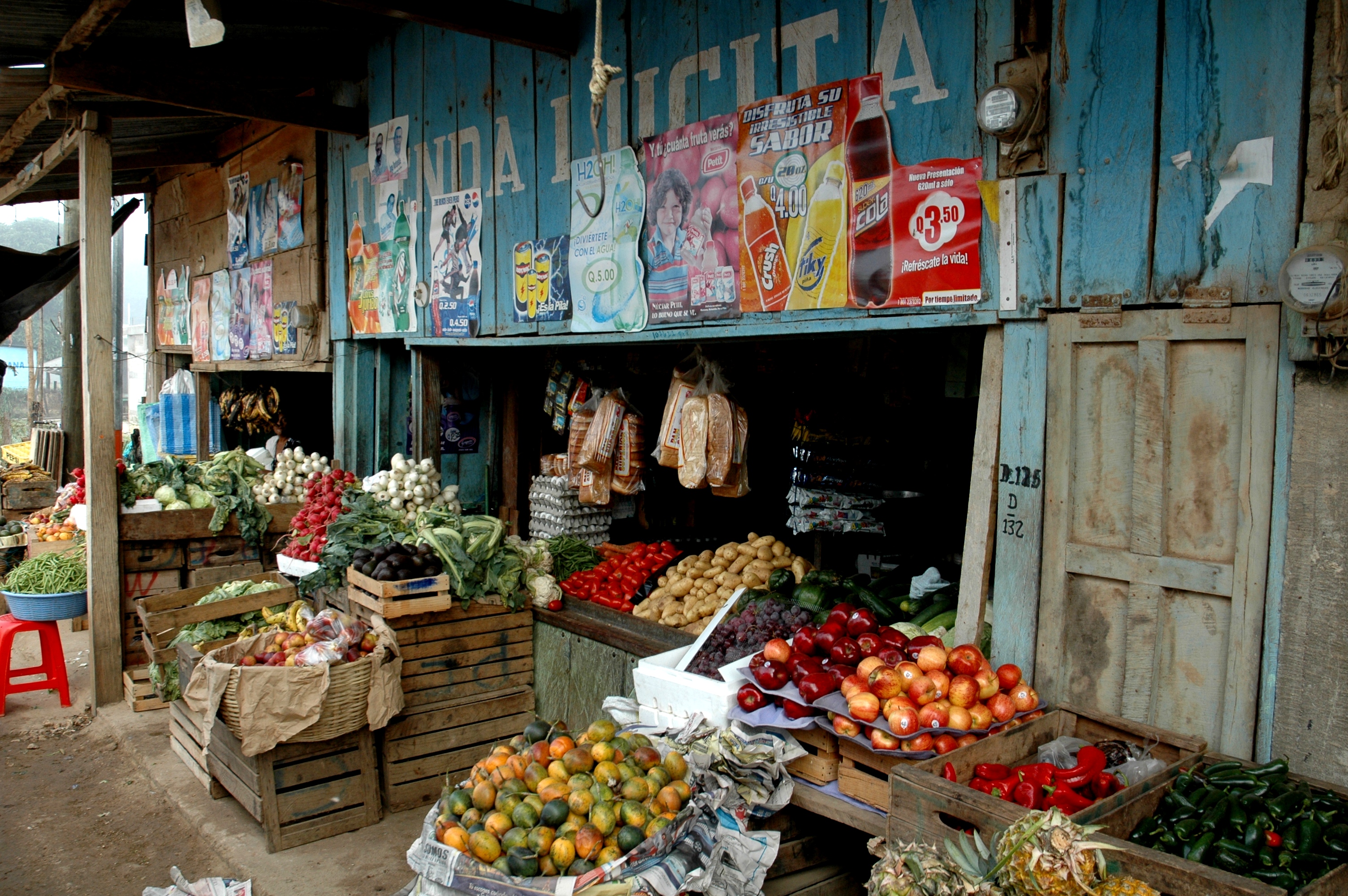
116 Veel winkeltjes hebben vrouwennamen, zoals hier Lucita
Topographic Map of Crater Azul, 16°38'27.0"N 90°22'10., 8, Cdad. Tecún Umán, Guatemala
Find elevation by address:

Places near Crater Azul, 16°38'27.0"N 90°22'10., 8, Cdad. Tecún Umán, Guatemala:
Bonampak
Guatemala
Cobán
San Antonio Tzeja
Alta Verapaz Department
Nuevo Matzám
Quiché Department
El Cimiento
Recent Searches:
- Elevation of W Granada St, Tampa, FL, USA
- Elevation of Pykes Down, Ivybridge PL21 0BY, UK
- Elevation of Jalan Senandin, Lutong, Miri, Sarawak, Malaysia
- Elevation of Bilohirs'k
- Elevation of 30 Oak Lawn Dr, Barkhamsted, CT, USA
- Elevation of Luther Road, Luther Rd, Auburn, CA, USA
- Elevation of Unnamed Road, Respublika Severnaya Osetiya — Alaniya, Russia
- Elevation of Verkhny Fiagdon, North Ossetia–Alania Republic, Russia
- Elevation of F. Viola Hiway, San Rafael, Bulacan, Philippines
- Elevation of Herbage Dr, Gulfport, MS, USA