Elevation of Crane Mill Rd, Alto, GA, USA
Location: United States > Georgia > Banks County > Alto >
Longitude: -83.618578
Latitude: 34.459845
Elevation: 389m / 1276feet
Barometric Pressure: 97KPa
Elevation Map:
Satellite Map:
Related Photos:
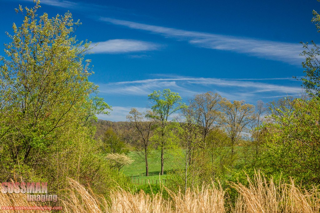
Heading to the mountains
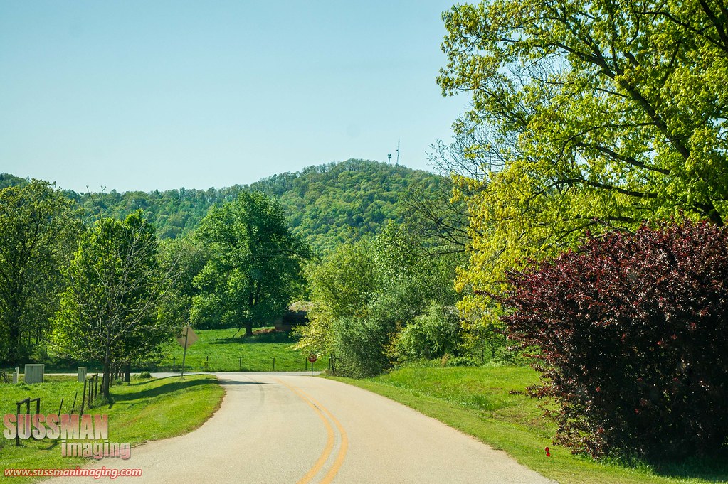
Country road

The John Burnette Family - Mexico

Holly Springs Baptist Church Cemetery

IMG_6122 - "Photo of the Day for January 10th 2012"
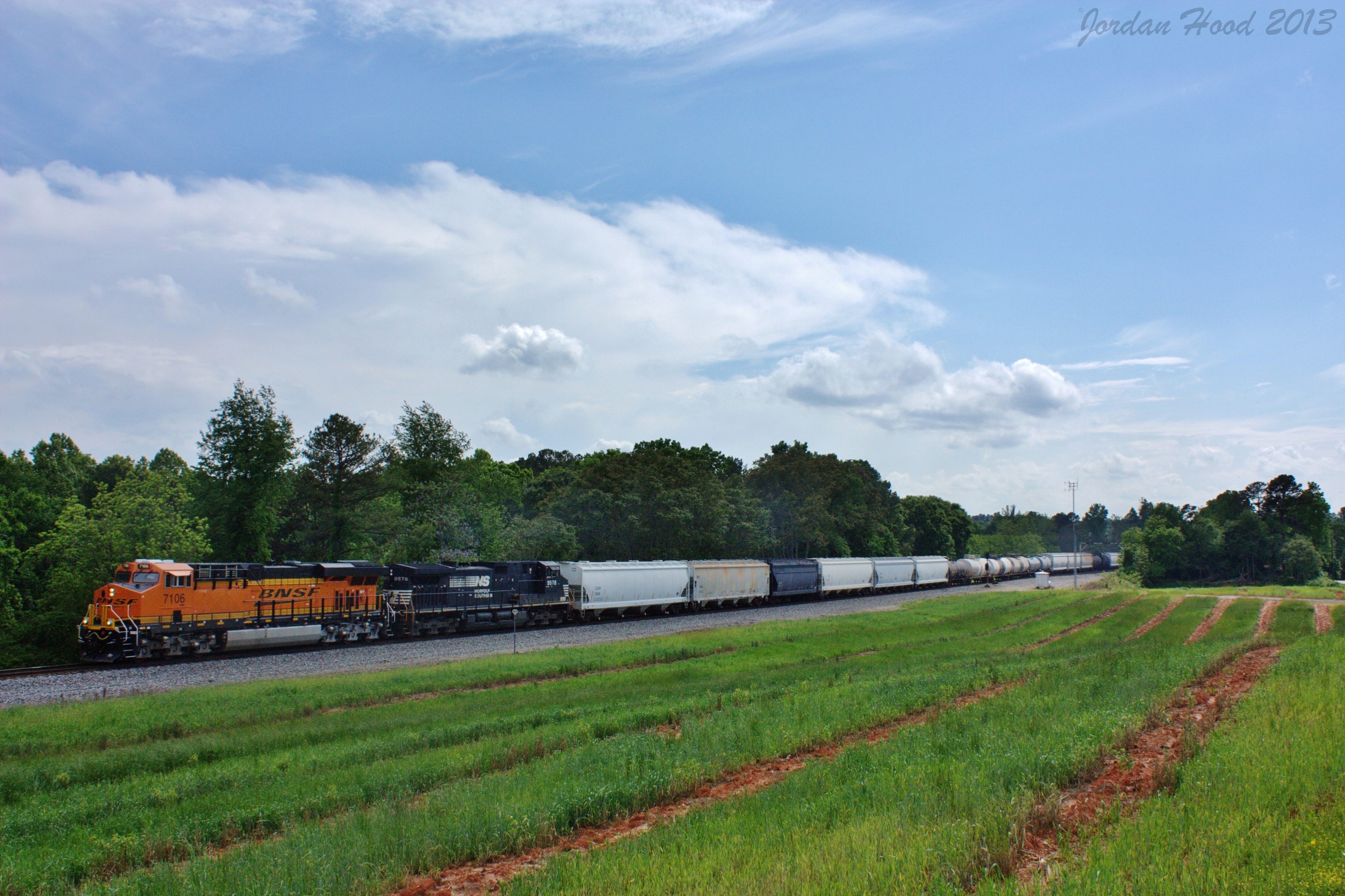
NS 172

Grand Tetons

Skitts Mountain

Grand Teton National Park

Bailey at Jekyll island

Mossy Creek

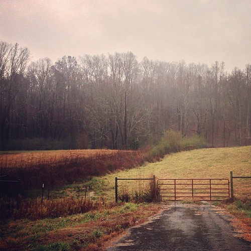
woods 2
Pit stop for a diaper change in The Great Smoky Mountains.

Tall grass
Topographic Map of Crane Mill Rd, Alto, GA, USA
Find elevation by address:

Places near Crane Mill Rd, Alto, GA, USA:
Tall Oaks Drive
Raoul
2689 Alto-mud Creek Rd
709 Old Mill Rd
282 Alto-mud Creek Rd
282 Alto-mud Creek Rd
Old Mill Road
110 Jenny Ct #12
Alto
Pea Ridge Road
2334 Apple Pie Ridge Rd
Duncan Bridge Rd, Alto, GA, USA
1184 Heads Ferry Rd
1400 Old River Rd
301 Falling Water Dr
Old River Rd, Cornelia, GA, USA
1207 Old River Rd
274 River Hill Rd
283 Old Cherokee Rd
235 Old River Rd
Recent Searches:
- Elevation of Corso Fratelli Cairoli, 35, Macerata MC, Italy
- Elevation of Tallevast Rd, Sarasota, FL, USA
- Elevation of 4th St E, Sonoma, CA, USA
- Elevation of Black Hollow Rd, Pennsdale, PA, USA
- Elevation of Oakland Ave, Williamsport, PA, USA
- Elevation of Pedrógão Grande, Portugal
- Elevation of Klee Dr, Martinsburg, WV, USA
- Elevation of Via Roma, Pieranica CR, Italy
- Elevation of Tavkvetili Mountain, Georgia
- Elevation of Hartfords Bluff Cir, Mt Pleasant, SC, USA