Elevation of Crane Lake Township, MN, USA
Location: United States > Minnesota > St. Louis County >
Longitude: -92.520990
Latitude: 48.3114115
Elevation: 370m / 1214feet
Barometric Pressure: 97KPa
Elevation Map:
Satellite Map:
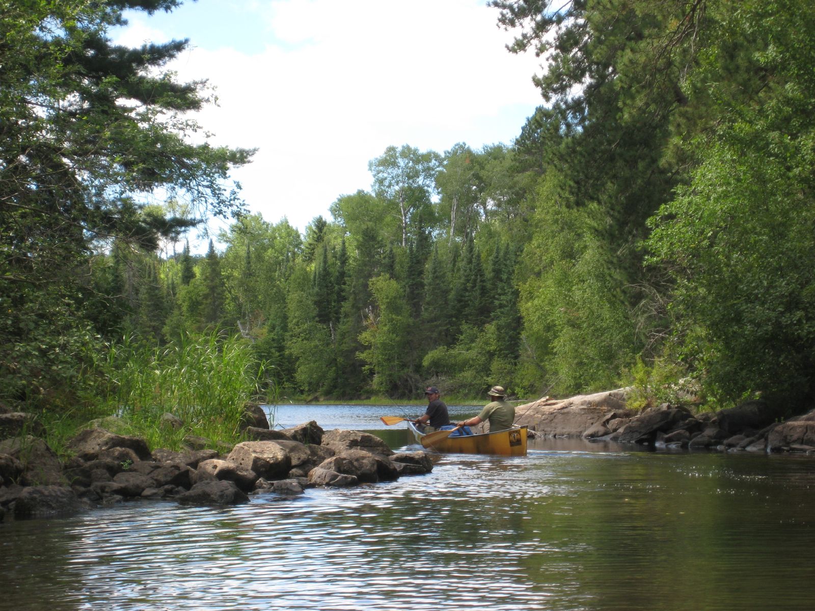
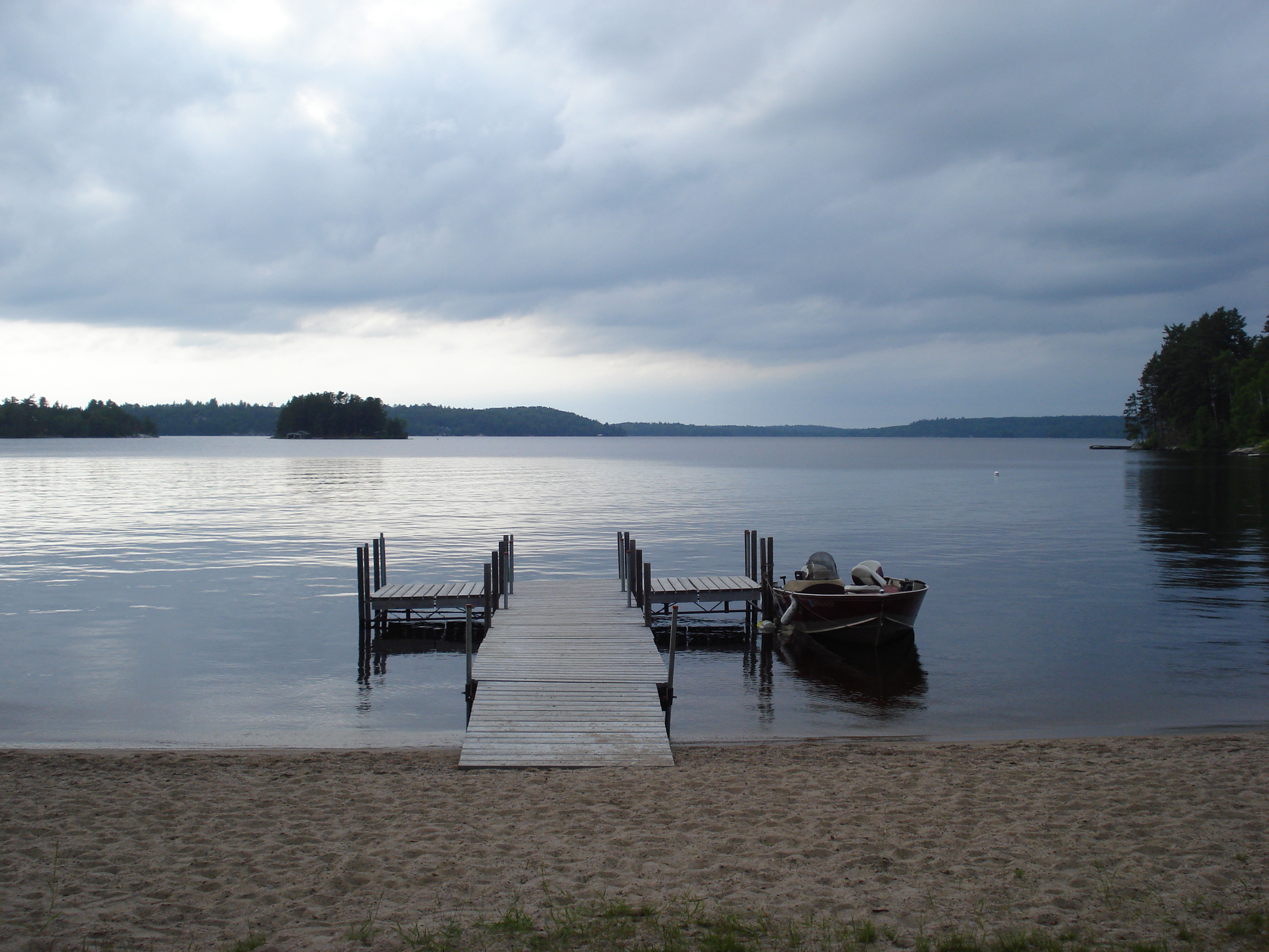
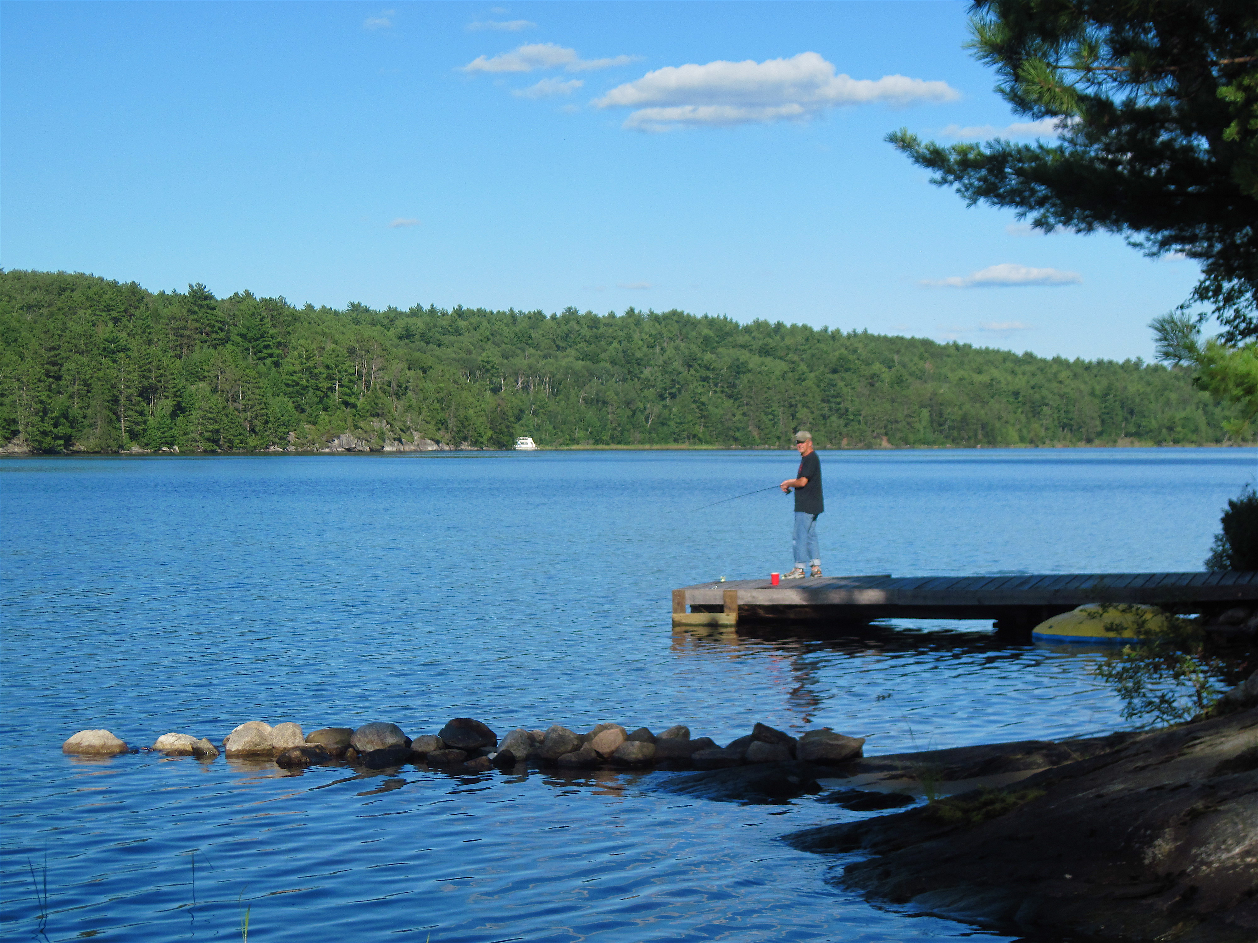
Related Photos:
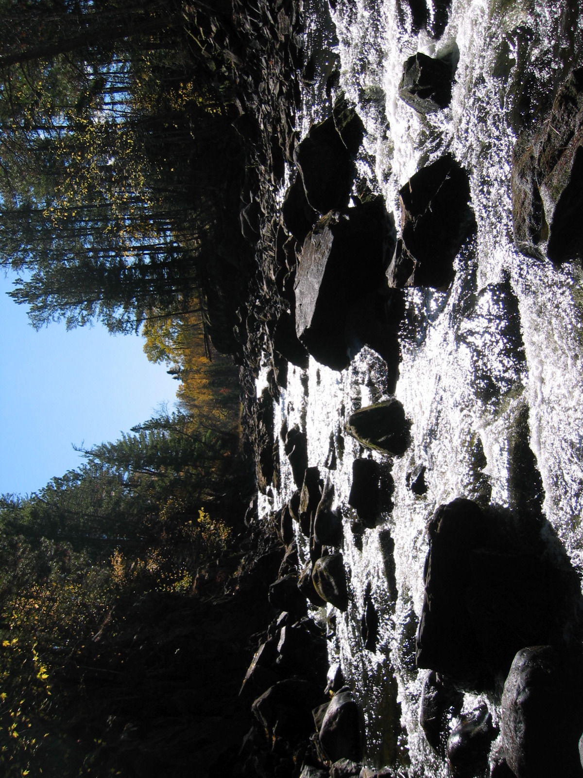
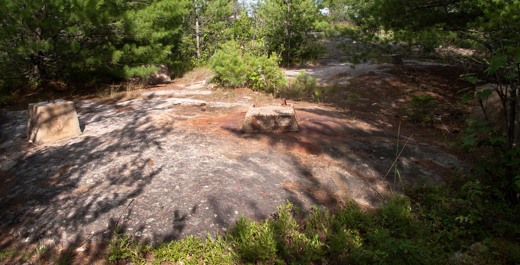
The gorge
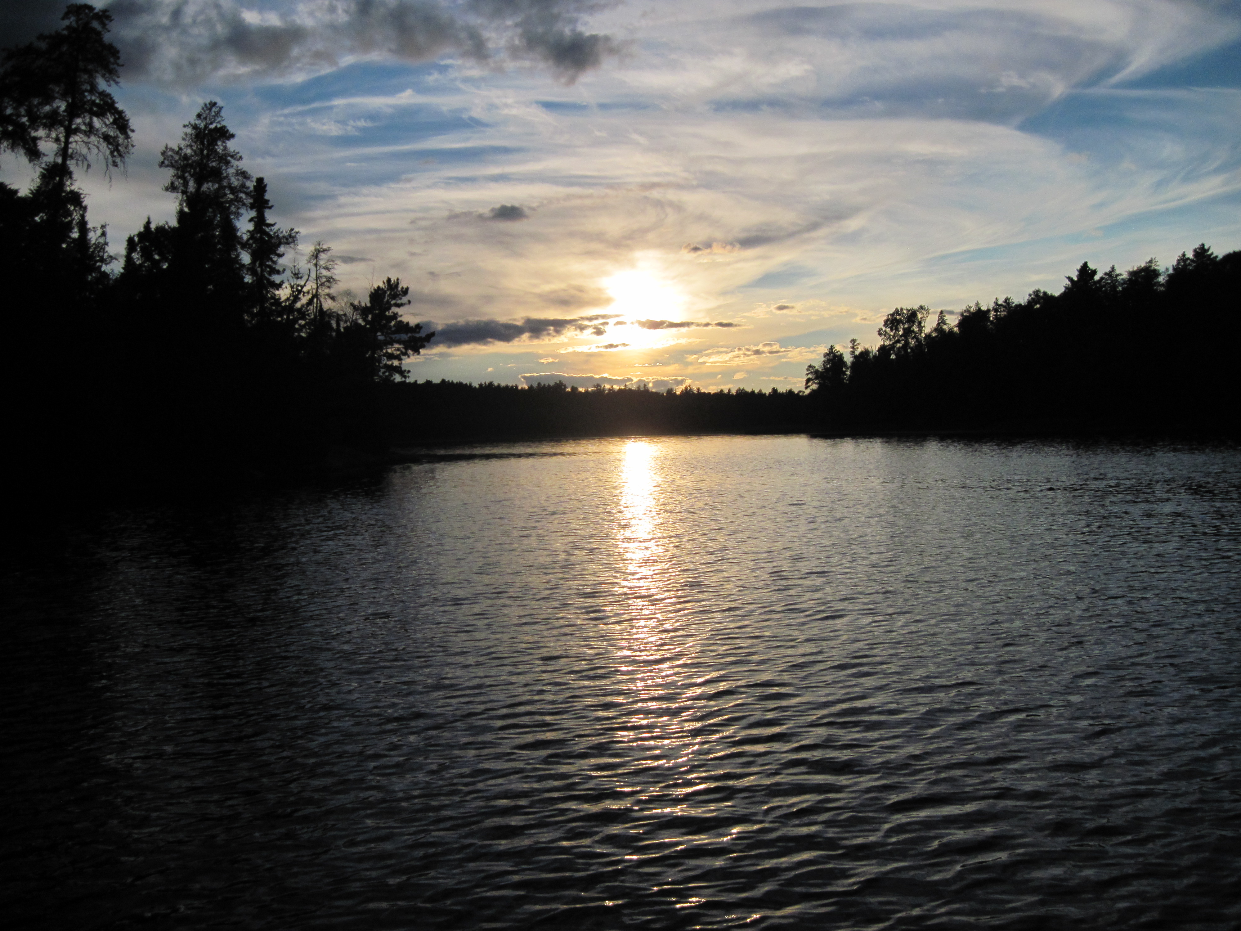
Crane Lake Sunset

Sand Point Lake

Good Evening From Crane Lake!
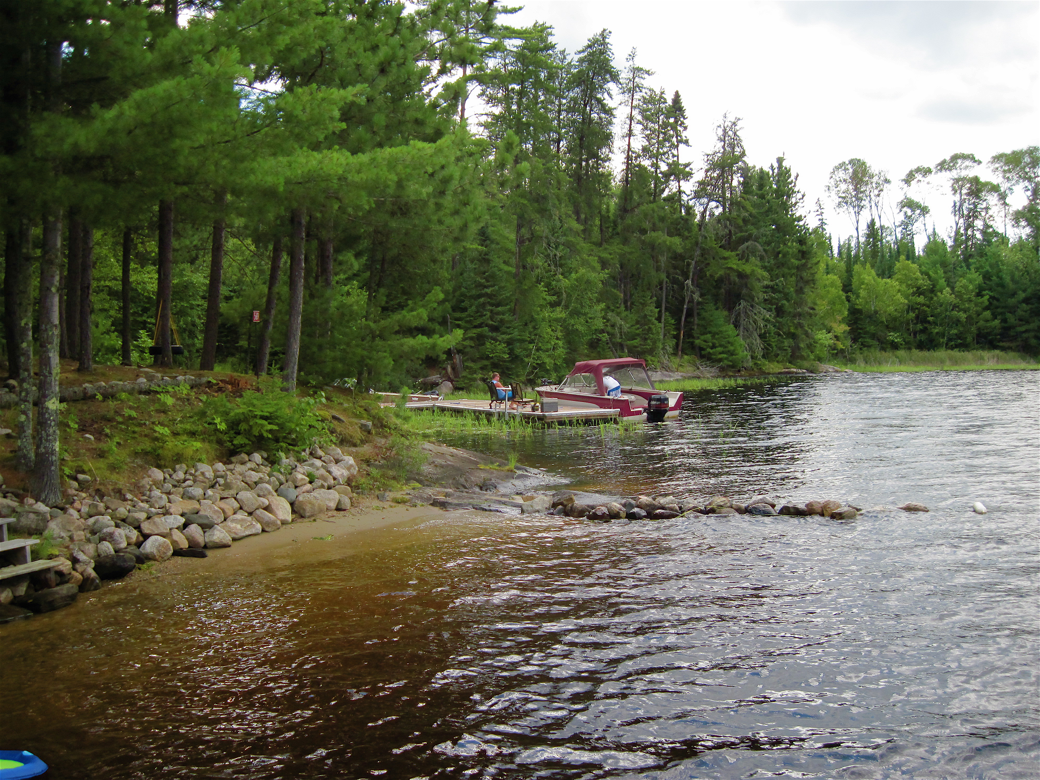
Crane Lake
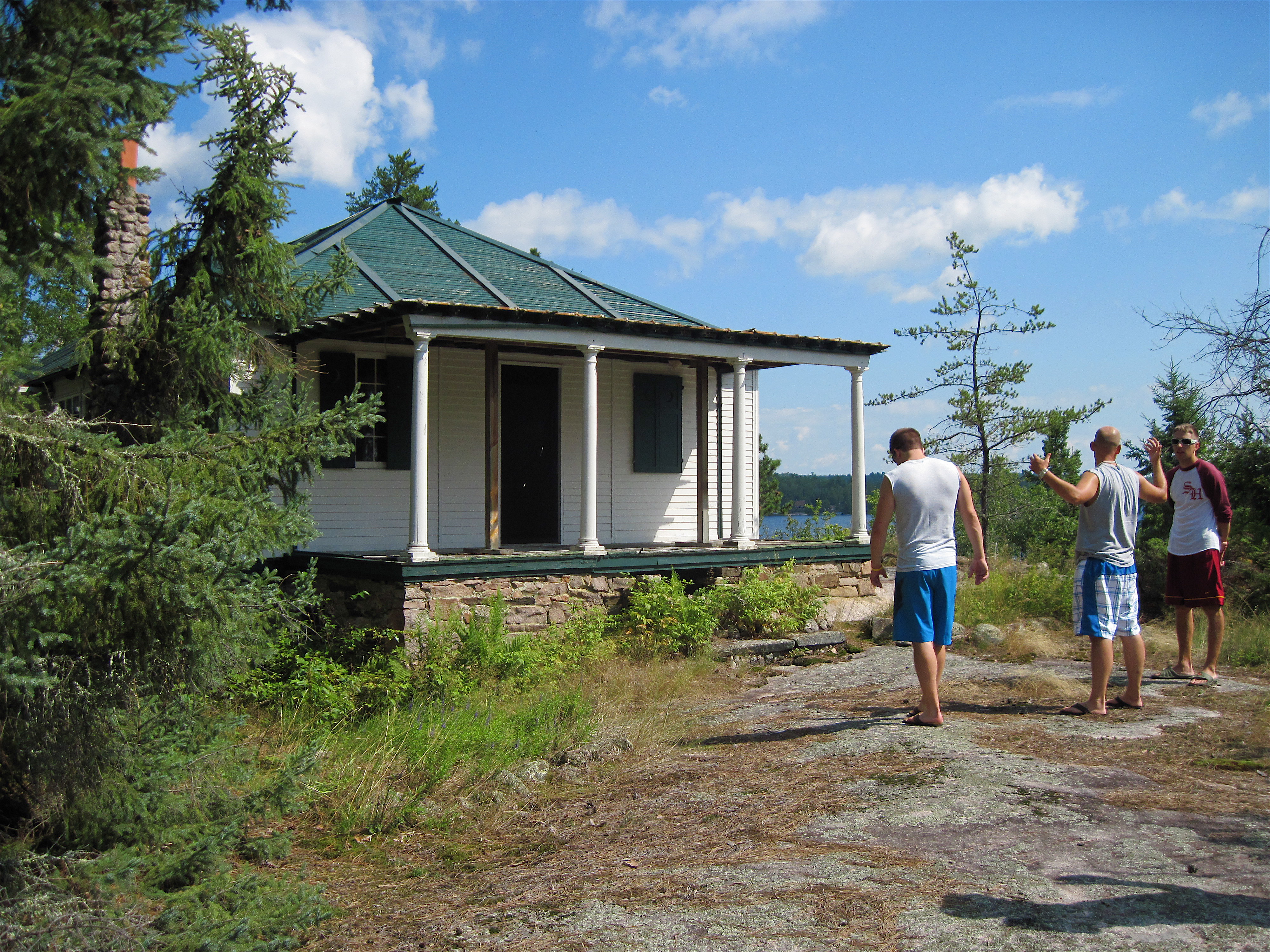
Ingersoll Island - The Main Cabin
Boundary Waters Canoe Wilderness Area (BWCWA)

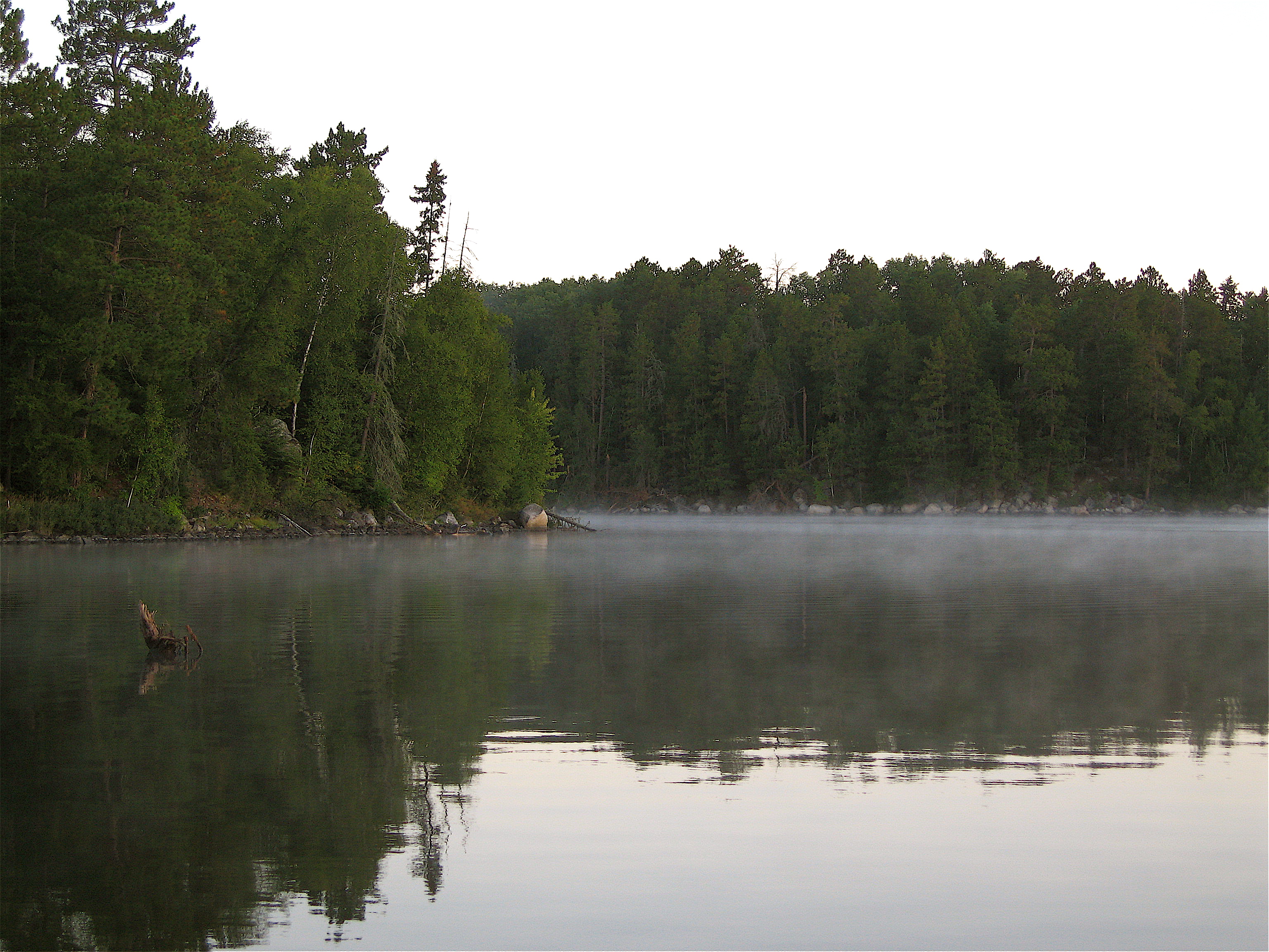
Good Morning from Crane Lake!
Crane Lake
Uncle John

Sunset on Northwest Bay

Looking Over Crane Lake

A beautiful Northern Minnesota Sunset....
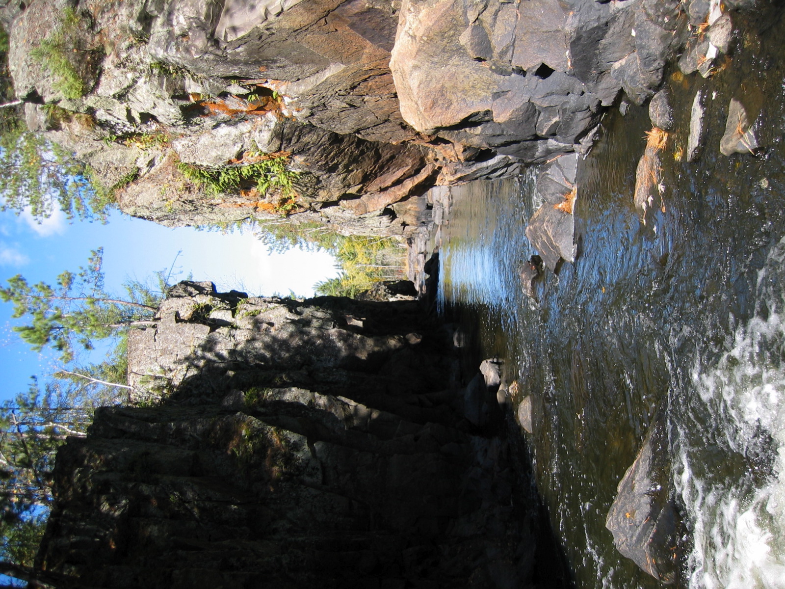
The gorge
IMG_6839 Crane Lake
Relaxing at the Cabin

mouth of Vermilion River
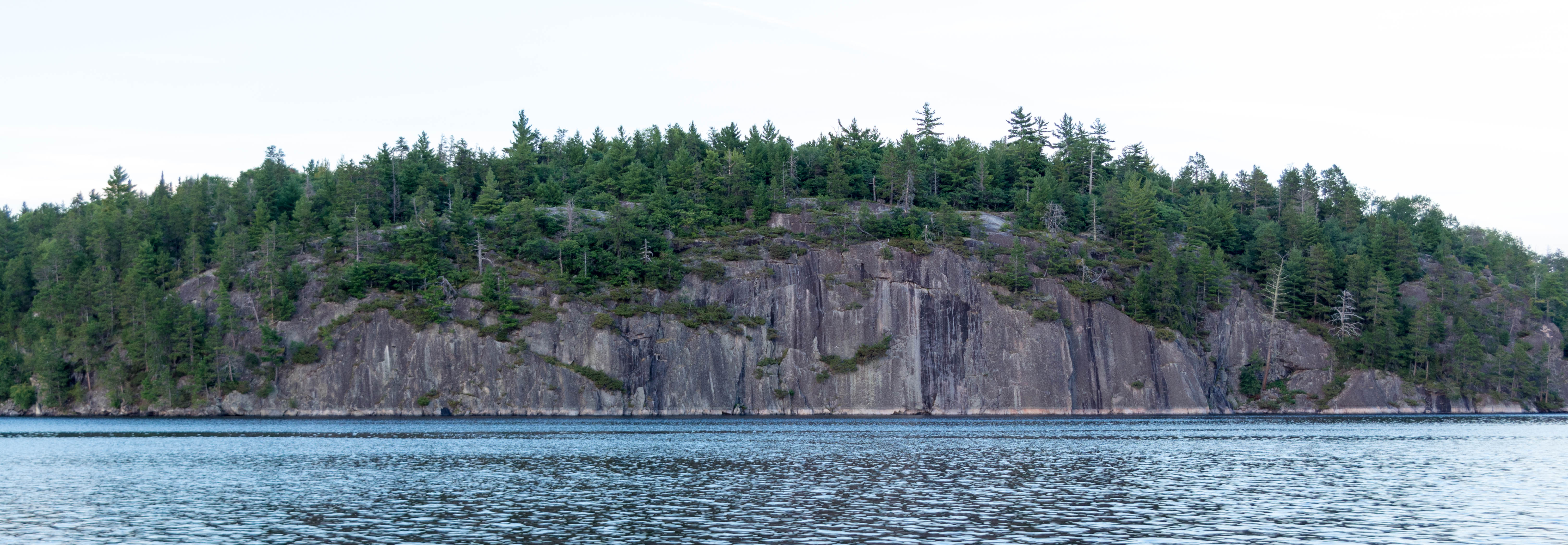
Grassy Bay Cliffs

Echo River

looking upstream 2

Vermilion Gorge
Topographic Map of Crane Lake Township, MN, USA
Find elevation by address:

Places in Crane Lake Township, MN, USA:
Places near Crane Lake Township, MN, USA:
Gold Coast Rd, Crane Lake, MN, USA
Beatty Township
2579 Vermilion Dr
7472 Darel Dr
Greenwood Township
2538 Birch Point Rd
Cook
Lake Vermilion
Rainy River District
Breitung Township
Soudan
Jasper Peak Grade, Soudan, MN, USA
Wolf Lake Rd, Ely, MN, USA
Bradach Rd, Ely, MN, USA
MN-, Ely, MN, USA
Bear Head Lake State Park
Morse Township
N Central Ave, Ely, MN, USA
Ely
3 E Sheridan St
Recent Searches:
- Elevation of Corso Fratelli Cairoli, 35, Macerata MC, Italy
- Elevation of Tallevast Rd, Sarasota, FL, USA
- Elevation of 4th St E, Sonoma, CA, USA
- Elevation of Black Hollow Rd, Pennsdale, PA, USA
- Elevation of Oakland Ave, Williamsport, PA, USA
- Elevation of Pedrógão Grande, Portugal
- Elevation of Klee Dr, Martinsburg, WV, USA
- Elevation of Via Roma, Pieranica CR, Italy
- Elevation of Tavkvetili Mountain, Georgia
- Elevation of Hartfords Bluff Cir, Mt Pleasant, SC, USA