Elevation of County Road, Newton, NJ, USA
Location: United States > New Jersey > Sussex County > Green Township >
Longitude: -74.837563
Latitude: 40.9985748
Elevation: 205m / 673feet
Barometric Pressure: 99KPa
Elevation Map:
Satellite Map:
Related Photos:

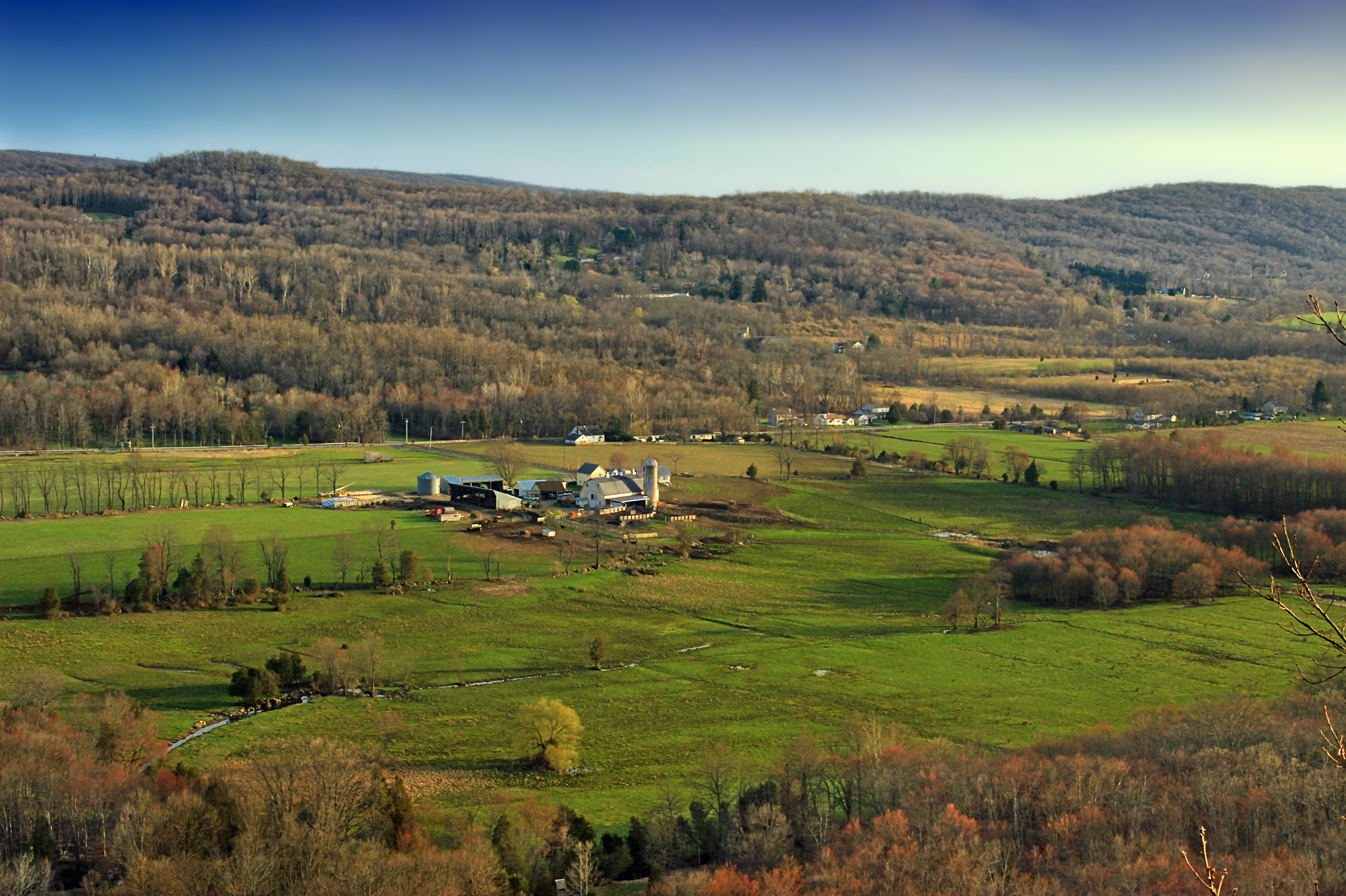
The Morning Meadow View ( Explored)
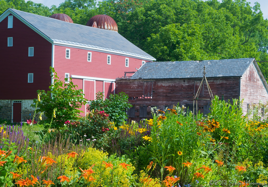
Vass Farmstead - The Garden
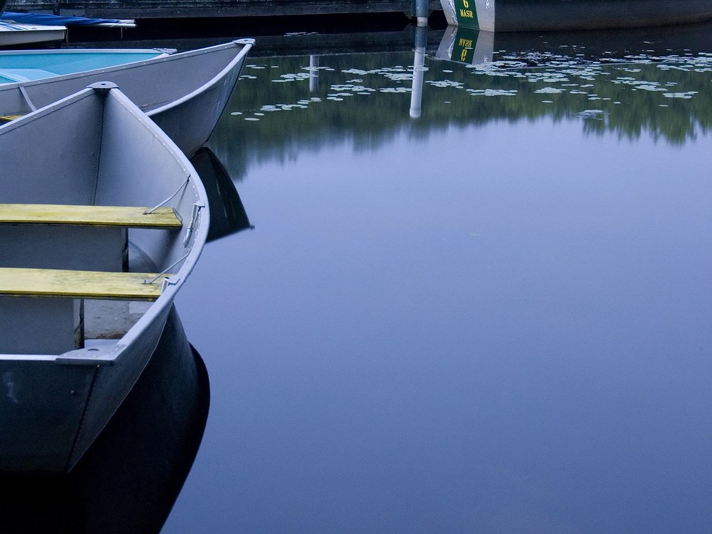
bow to the calm
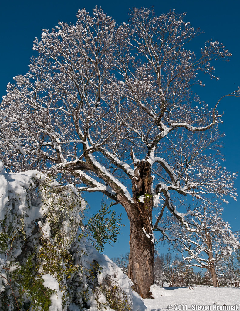
Lone Tree After the Storm (Explore, Albiet Short Lived)
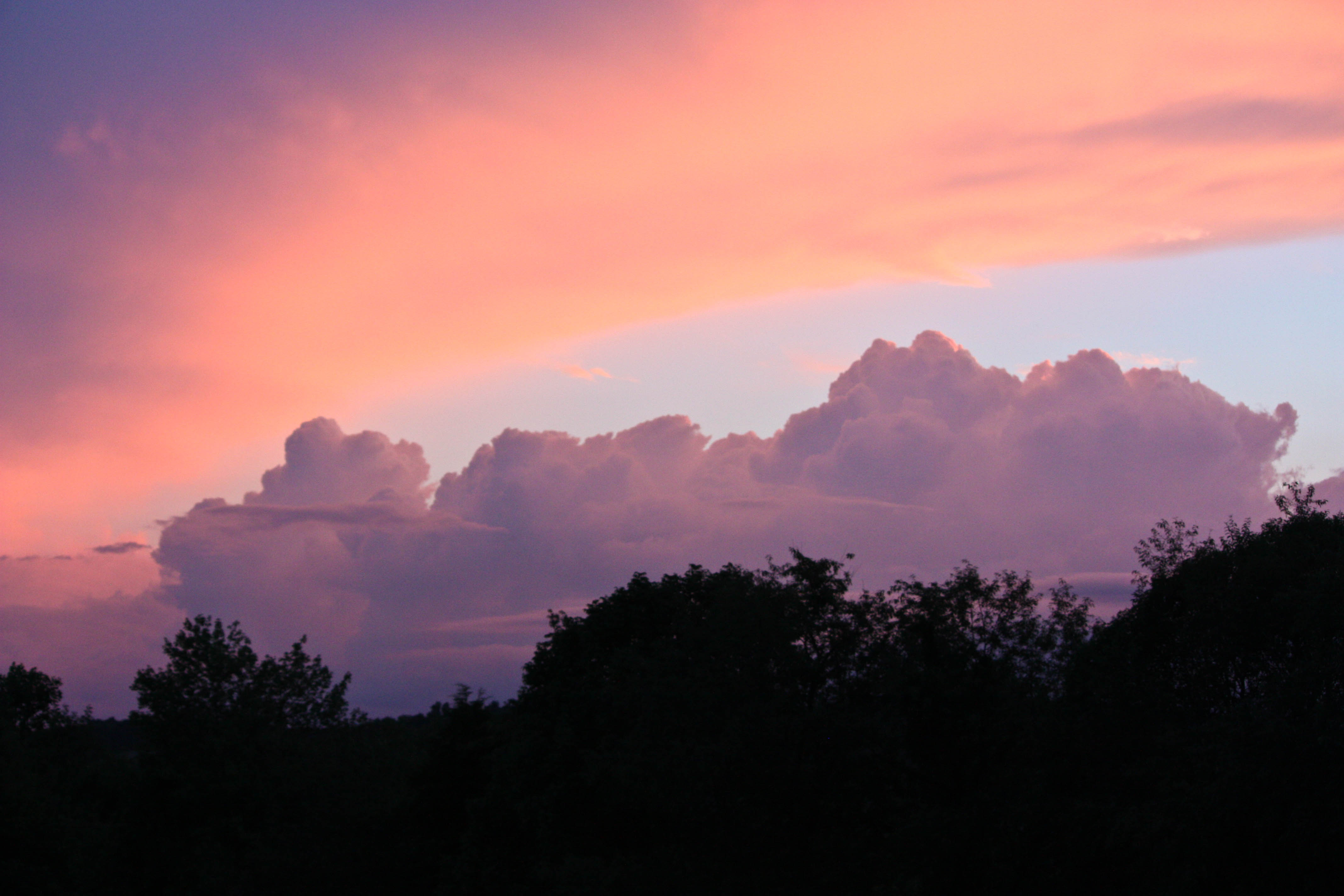
ATMOSPHERE IS HERE

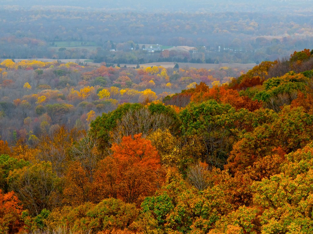
VALLEY VIEW

Sunsetting the gap

I tell you I'm lost here, awaiting reply

Snowy Water Gap View
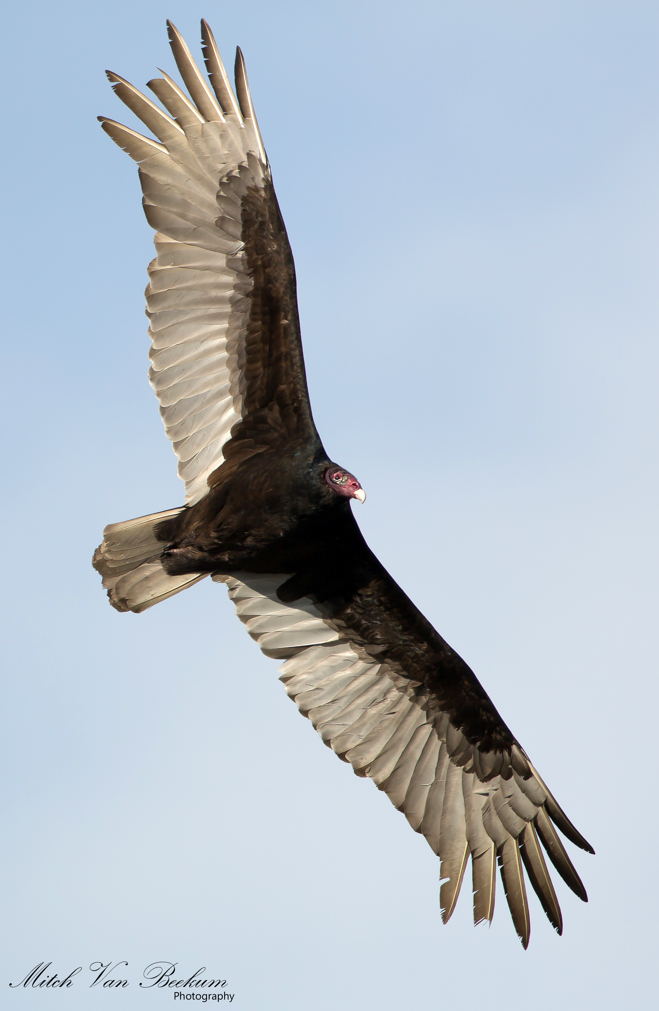
I Despise You! (Turkey Vulture)
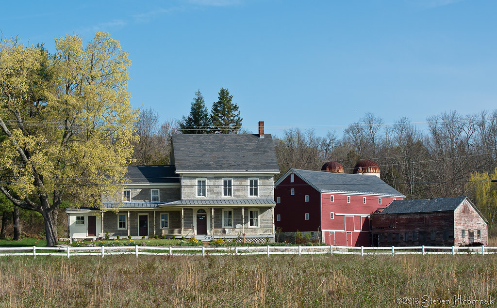
Vass House, Hardwick, New Jersey

Google Street View

Hightailing It!
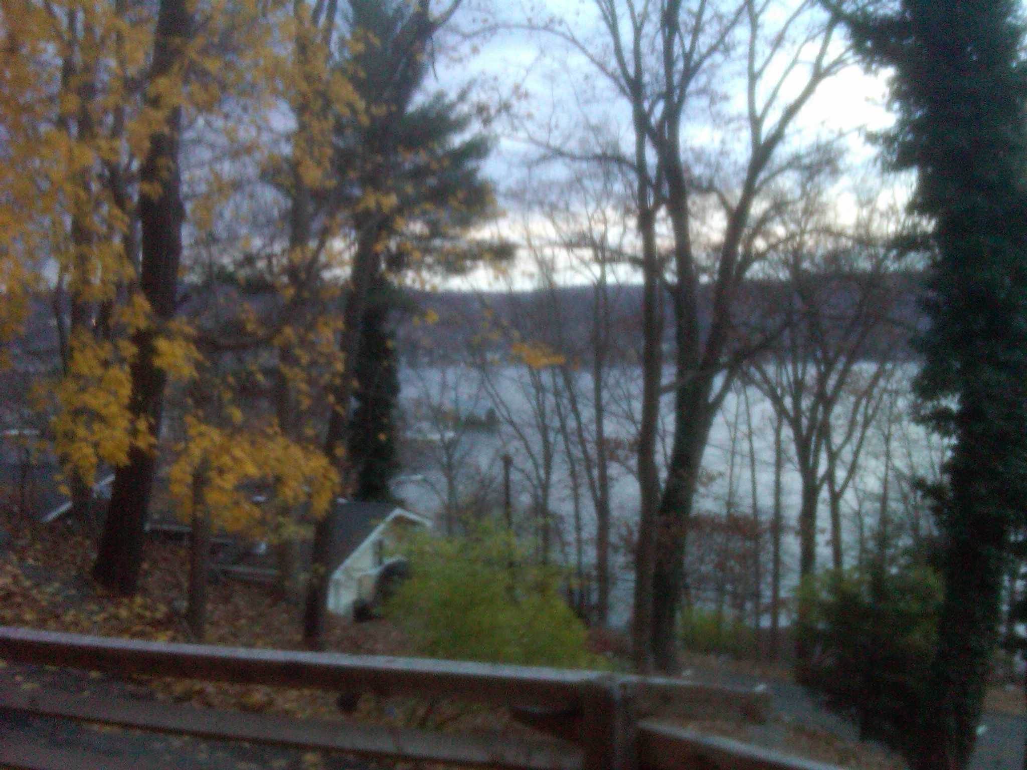
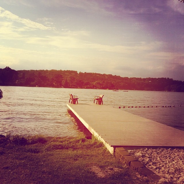
View of Lake Mohawk's West Shore
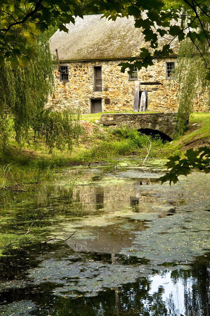
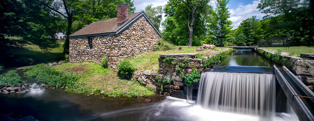
Mill and Run-off
Old Farm Sanctuary (3)
Canal Lock PANO re-worked
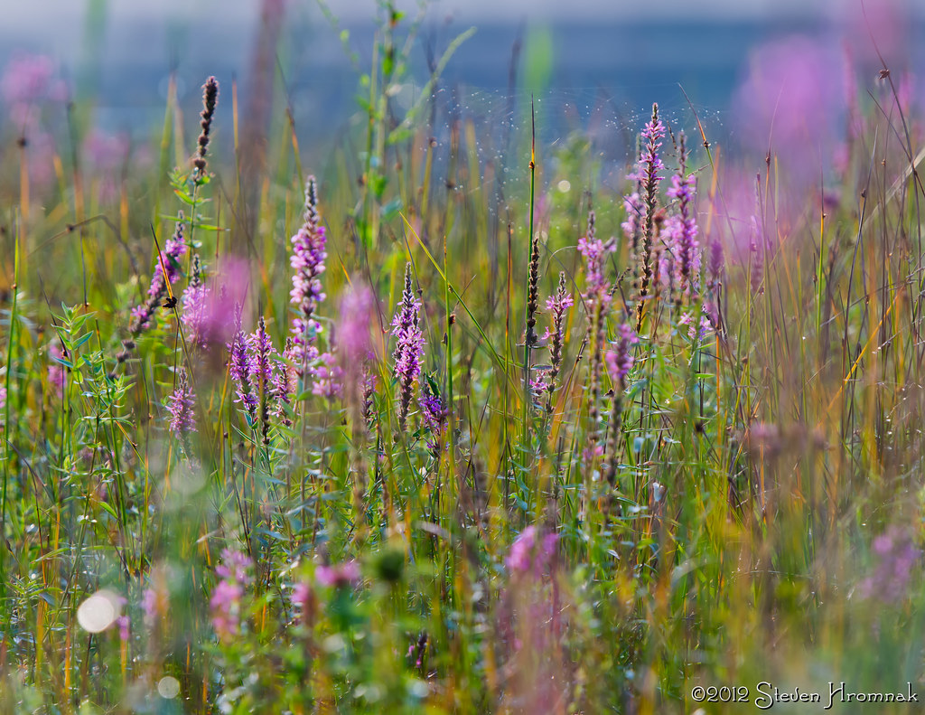
Marshy Musky + Haiku

outward bound

Goochie Goo! - Downy Woodpecker (View Large!)
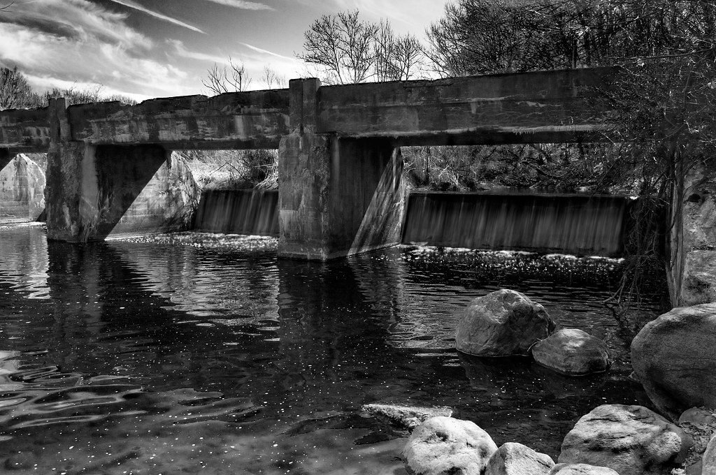
Old Bridge & Dam

IMG_7226.jpg
Buttermilk Falls
IMG_7228.jpg
GREEN GOLD

Sunset 3.jpg

The New Jersey nobody sees

Somewhere Down The Lazy River

late at night, we ramble

10-01-20-1377-4898hdrbwe

IMG_7227.jpg

Summer Gold - New Jersey Barley Field
Let it Snow - In October? - In New Jersey?
Sunset 5.jpg

IMG_2650.jpg

ANDOVER ABBEY
At the lake in SPARTA!
White Lake

20100913-20100913-JAP_7937_38_39_40_41_42_43_tonemapped

Purple Sunset
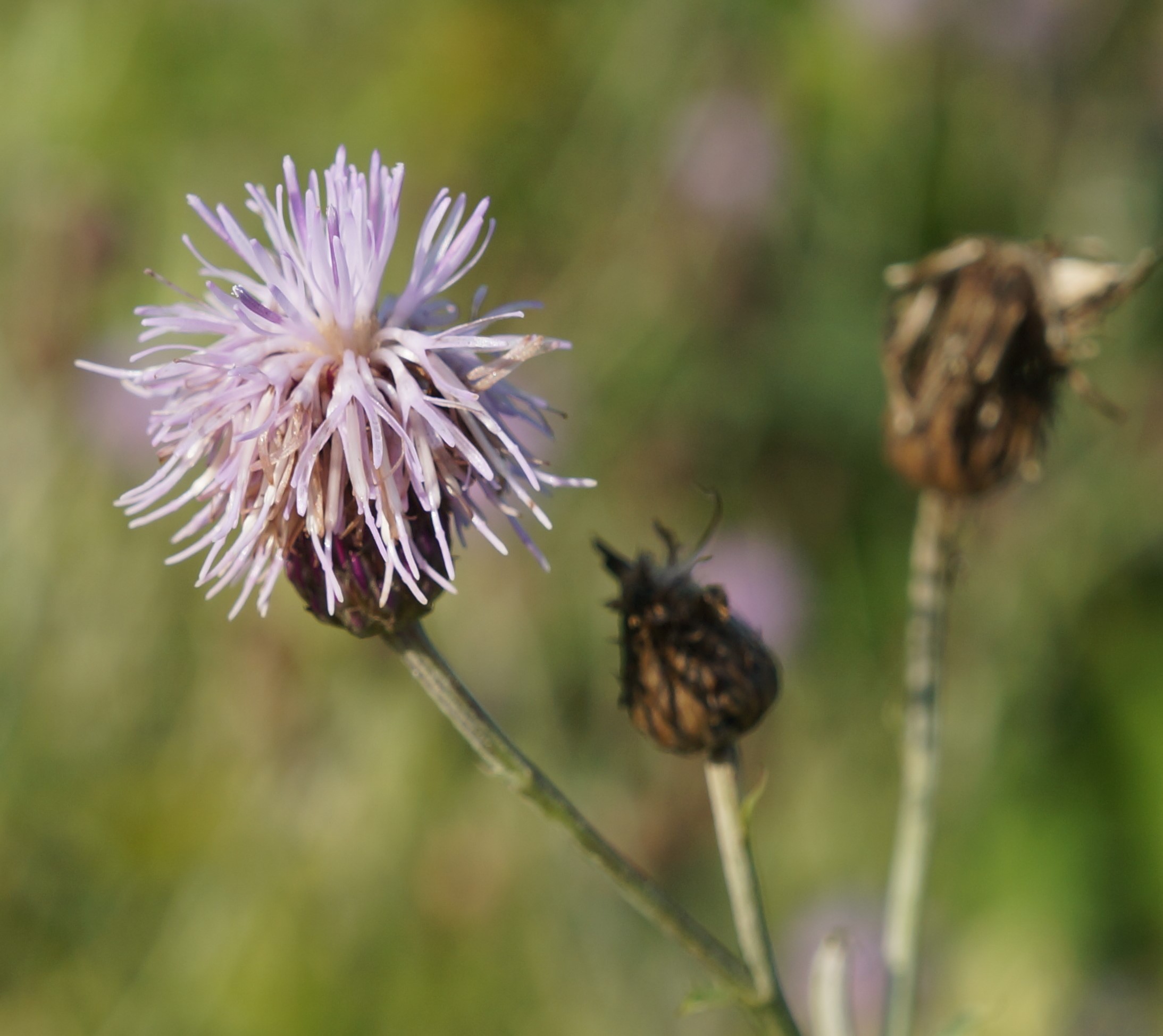
canada thistle
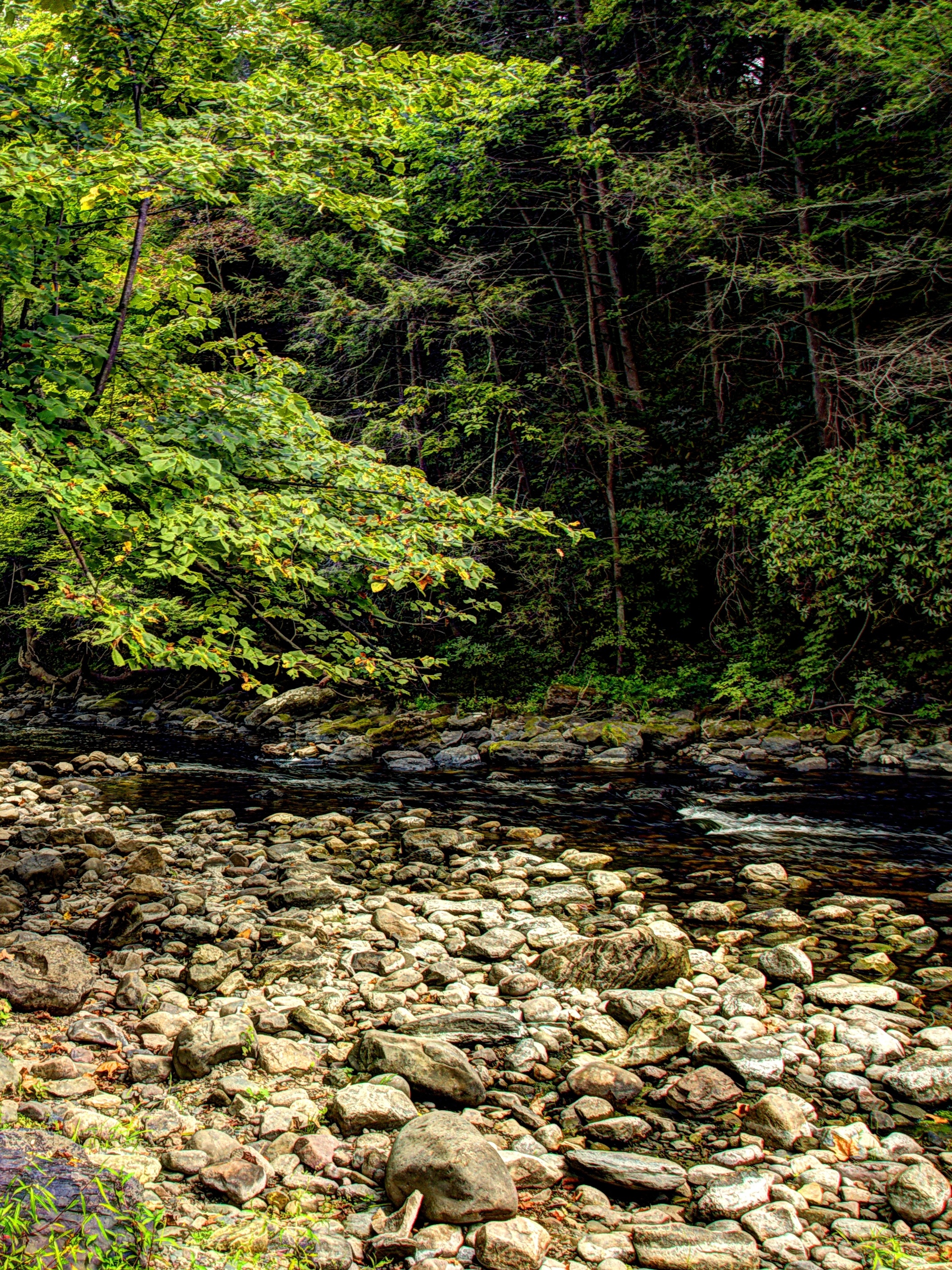
Flat Brook, Wallpack-Flatbrook Rd & Old Mine Road, Delaware Water Gap National Rec Area
Topographic Map of County Road, Newton, NJ, USA
Find elevation by address:

Places near County Road, Newton, NJ, USA:
10 Fredon Greendell Rd
620 Nj-94
95 Wolfs Corner Rd
95 Wolfs Corner Rd
39 Hedden Rd
204 Fredon Springdale Rd
8 Kohlbocker Rd
Fredon Township
NJ-94, Newton, NJ, USA
85 Van Horn Rd
179 Willows Rd
Johnsonburg
Stillwater Township, NJ, USA
Stillwater Township
Main St, Johnsonburg, NJ, USA
14 Green Tree Dr
Green Township
Cedar Dr, Newton, NJ, USA
Pequest Rd, Green Township, NJ, USA
961 Ridge Rd
Recent Searches:
- Elevation of Corso Fratelli Cairoli, 35, Macerata MC, Italy
- Elevation of Tallevast Rd, Sarasota, FL, USA
- Elevation of 4th St E, Sonoma, CA, USA
- Elevation of Black Hollow Rd, Pennsdale, PA, USA
- Elevation of Oakland Ave, Williamsport, PA, USA
- Elevation of Pedrógão Grande, Portugal
- Elevation of Klee Dr, Martinsburg, WV, USA
- Elevation of Via Roma, Pieranica CR, Italy
- Elevation of Tavkvetili Mountain, Georgia
- Elevation of Hartfords Bluff Cir, Mt Pleasant, SC, USA