Elevation of County Road 68, County Rd 68, Okeechobee, FL, USA
Location: United States > Florida > Okeechobee County > Okeechobee >
Longitude: -80.898740
Latitude: 27.3946234
Elevation: 12m / 39feet
Barometric Pressure: 101KPa
Elevation Map:
Satellite Map:
Related Photos:

13 02 25_2963_edited-2.psd

13 02 25_2966_edited-1.psd

13 02 25_2952_edited-1.psd

Everglades Restoration Tour

Three Trees on the Prairie

Taylor Creek

Taylor Creek
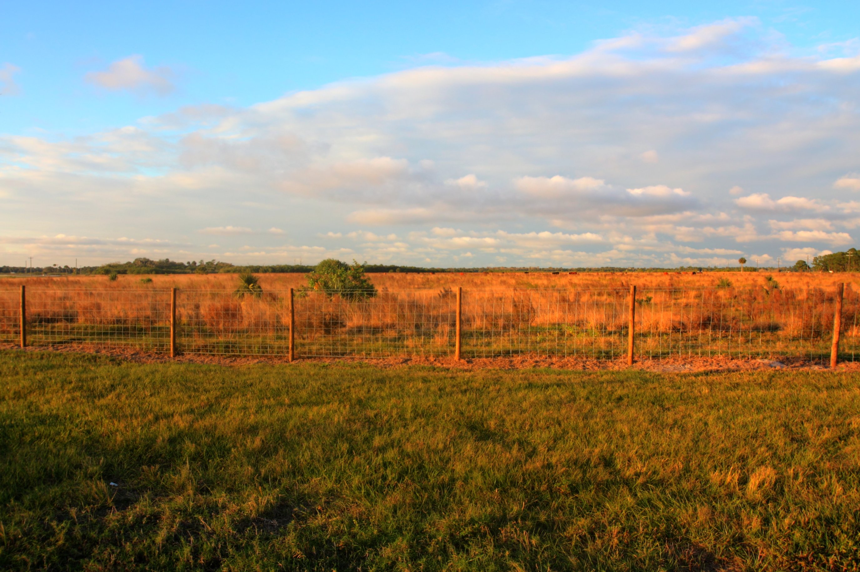
Ranch Near Taylor Creek

Taylor Creek

Ranch Near Taylor Creek

Commelina diffusa

Guns and Beef, South FL 2012

CAC018184a.jpg

CAC018158a.jpg

Stop and Bullet Holes, South FL 2012 #2
Topographic Map of County Road 68, County Rd 68, Okeechobee, FL, USA
Find elevation by address:

Places near County Road 68, County Rd 68, Okeechobee, FL, USA:
17060 Nw 38th Ave
Okeechobee County
Okeechobee
7619 Nw 96th Ct
NE th St, Okeechobee, FL, USA
NE th St, Okeechobee, FL, USA
1356 Ne 131st Ln
NW 58th Ln, Okeechobee, FL, USA
16730 Nw 203rd St
1232 Hillard Rd
Basinger
3934 Nw 29th Ave
NW 28th Ave, Okeechobee, FL, USA
6876 Nw 154th Ave
3573 Nw 29th Ave
6605 Nw 154th Ave
NW 72ND Ave, Okeechobee, FL, USA
15045 Nw 56th St
NW 10th Ave, Okeechobee, FL, USA
16430 Nw 266th St
Recent Searches:
- Elevation of Corso Fratelli Cairoli, 35, Macerata MC, Italy
- Elevation of Tallevast Rd, Sarasota, FL, USA
- Elevation of 4th St E, Sonoma, CA, USA
- Elevation of Black Hollow Rd, Pennsdale, PA, USA
- Elevation of Oakland Ave, Williamsport, PA, USA
- Elevation of Pedrógão Grande, Portugal
- Elevation of Klee Dr, Martinsburg, WV, USA
- Elevation of Via Roma, Pieranica CR, Italy
- Elevation of Tavkvetili Mountain, Georgia
- Elevation of Hartfords Bluff Cir, Mt Pleasant, SC, USA