Elevation of County Rd, Warren, TX, USA
Location: United States > Texas > Tyler County > Warren >
Longitude: -94.478829
Latitude: 30.5597738
Elevation: 42m / 138feet
Barometric Pressure: 101KPa
Elevation Map:
Satellite Map:
Related Photos:

IMG_8568

IMG_8560

IMG_8562

IMG_8563

IMG_8565

Watson Rare Native Plant Preserve, Warren, Texas

Live Oak
Big Thicket National Preserve

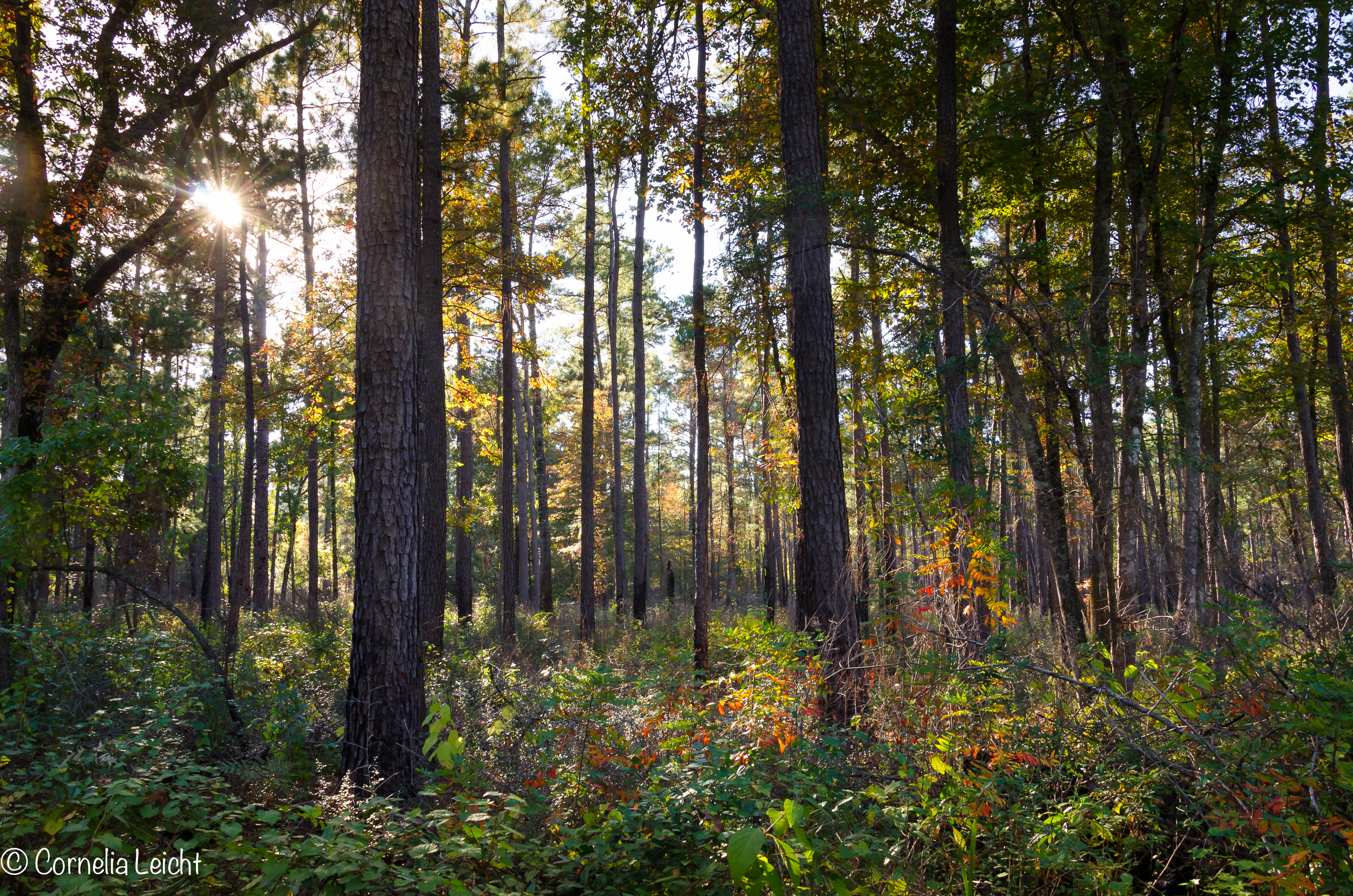
Autumn is coming on

Village Creek

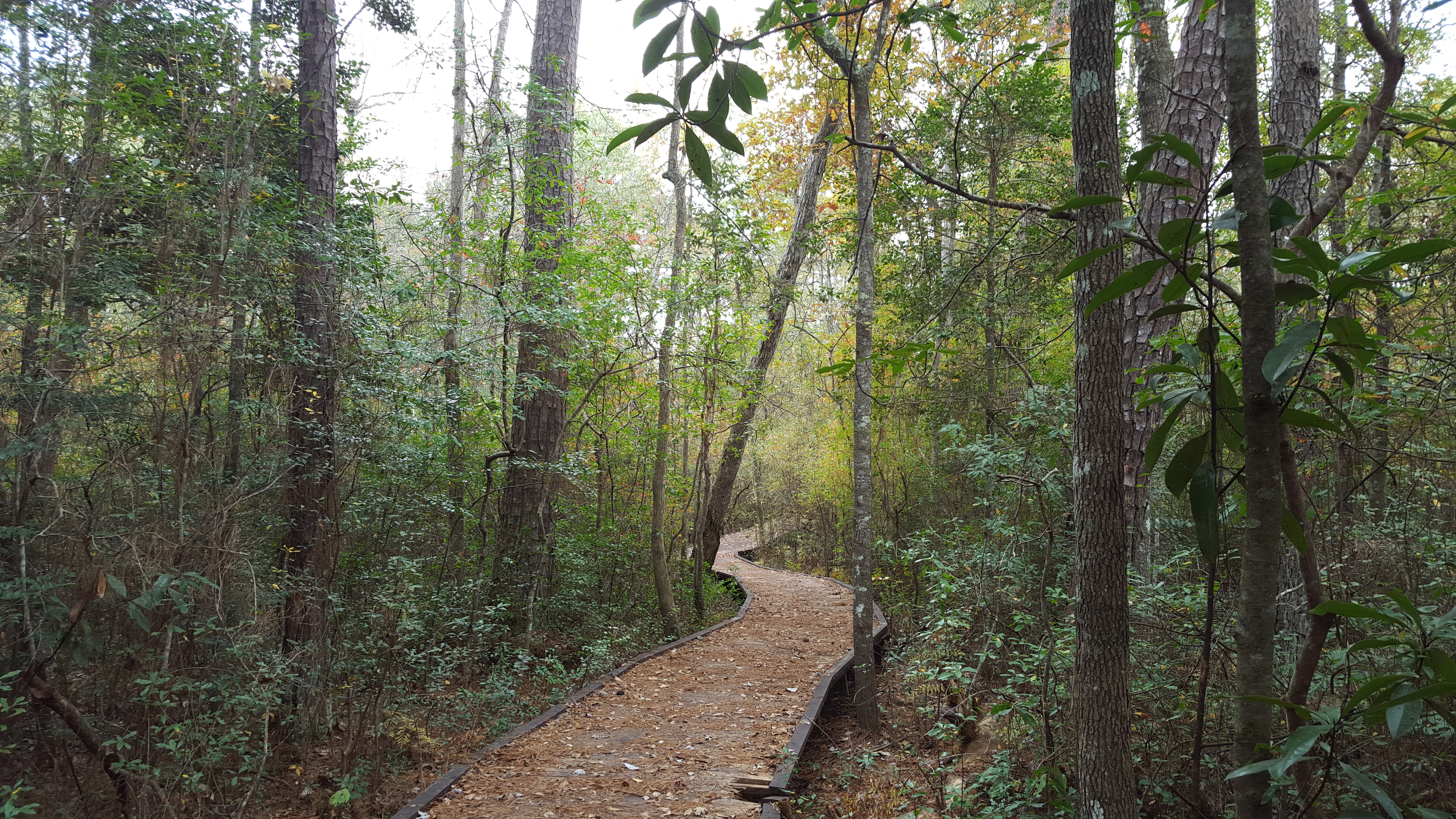
el sendero

Life after fire

No Life after fire
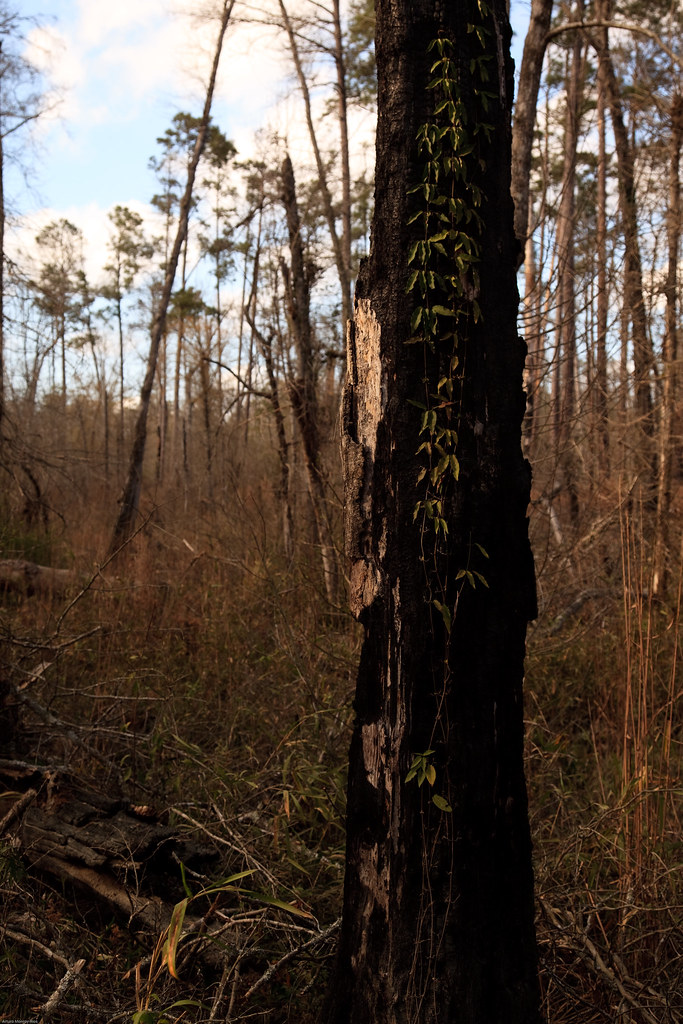
Life after fire
Big Thicket National Preserve

Big Thicket National Preserve

20110205_Big_Thicket_24.jpg

EMBHLU4 154

EMBHLU4 142

EMBHLU4 156

Hay field

Late afternoon
Topographic Map of County Rd, Warren, TX, USA
Find elevation by address:

Places near County Rd, Warren, TX, USA:
316 Sequoia Dr
108 Heatherwood
222 Dogwood
US-69, Warren, TX, USA
Warren
445 Co Rd 4473
Village Mills
225 14th St
205 Sir Ewaine Dr
325 Sir Ewaine Dr
325 Sir Ewaine Dr
325 Sir Ewaine Dr
Hillister
8th Street
Big Thicket National Preserve
FM, Kountze, TX, USA
7470 Fm1293
325 Deerwood Dr
7535 Mcneely Rd
408 M.l.k.
Recent Searches:
- Elevation of Corso Fratelli Cairoli, 35, Macerata MC, Italy
- Elevation of Tallevast Rd, Sarasota, FL, USA
- Elevation of 4th St E, Sonoma, CA, USA
- Elevation of Black Hollow Rd, Pennsdale, PA, USA
- Elevation of Oakland Ave, Williamsport, PA, USA
- Elevation of Pedrógão Grande, Portugal
- Elevation of Klee Dr, Martinsburg, WV, USA
- Elevation of Via Roma, Pieranica CR, Italy
- Elevation of Tavkvetili Mountain, Georgia
- Elevation of Hartfords Bluff Cir, Mt Pleasant, SC, USA