Elevation of County Rd, San Benito, TX, USA
Location: United States > Texas > Cameron County > San Benito >
Longitude: -97.542777
Latitude: 26.0895383
Elevation: 12m / 39feet
Barometric Pressure: 101KPa
Elevation Map:
Satellite Map:
Related Photos:

Los Fresnos [EXPLORED 3/16/17 - highest position #370]

Views of Number 8 004

Pala Alto Battlefield

Buff Bellied Hummingbird
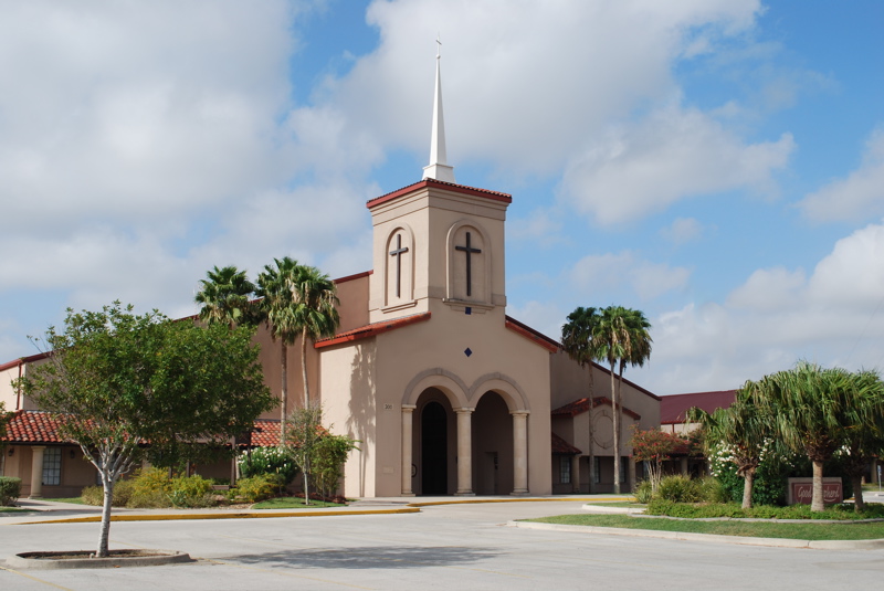
Church Building

Smiley Crescent

Color Riot

Hay Bale

Rail-Road North Magic Hour

Sunset 007

Sunset 224 011

Pack of Round Hay Bale

Blue Skies 127 020
Rio Grande 10-26-14-2

Sunsets 036
Resaca 7-5-13

Cotton Field

Blue Skies 029
Clouds Over 8 & 9

Clouds 1107 049

Sunrises 008

Clouds 2125

Sunrise 1-18-15-1

Sunrises 022

Blue Skies 022

Clouds 068

Blue Skies 2

Blue Skies 492
Topographic Map of County Rd, San Benito, TX, USA
Find elevation by address:

Places near County Rd, San Benito, TX, USA:
Amigo Ln, San Benito, TX, USA
12 N Indian Lake Dr, Los Fresnos, TX, USA
Saucito Street
Indian Lake
Calle Maximilian, San Benito, TX, USA
Cameron County
Harvey Escalante Rd, Los Fresnos, TX, USA
Rancho Viejo
209 Balboa
Laureles
33155 Cardinal Ct
4492 Carmen Ave
709 Bolivar Ave
709 Bolivar Ave
709 Bolivar Ave
Parker Rd, Olmito, TX, USA
Olmito
Los Fresnos
Schnieder, San Benito, TX, USA
34145 Ebony Rd
Recent Searches:
- Elevation of Corso Fratelli Cairoli, 35, Macerata MC, Italy
- Elevation of Tallevast Rd, Sarasota, FL, USA
- Elevation of 4th St E, Sonoma, CA, USA
- Elevation of Black Hollow Rd, Pennsdale, PA, USA
- Elevation of Oakland Ave, Williamsport, PA, USA
- Elevation of Pedrógão Grande, Portugal
- Elevation of Klee Dr, Martinsburg, WV, USA
- Elevation of Via Roma, Pieranica CR, Italy
- Elevation of Tavkvetili Mountain, Georgia
- Elevation of Hartfords Bluff Cir, Mt Pleasant, SC, USA