Elevation of County Rd H, Lamesa, TX, USA
Location: United States > Texas > Dawson County > Lamesa >
Longitude: -101.95861
Latitude: 32.565044
Elevation: 886m / 2907feet
Barometric Pressure: 91KPa
Elevation Map:
Satellite Map:
Related Photos:

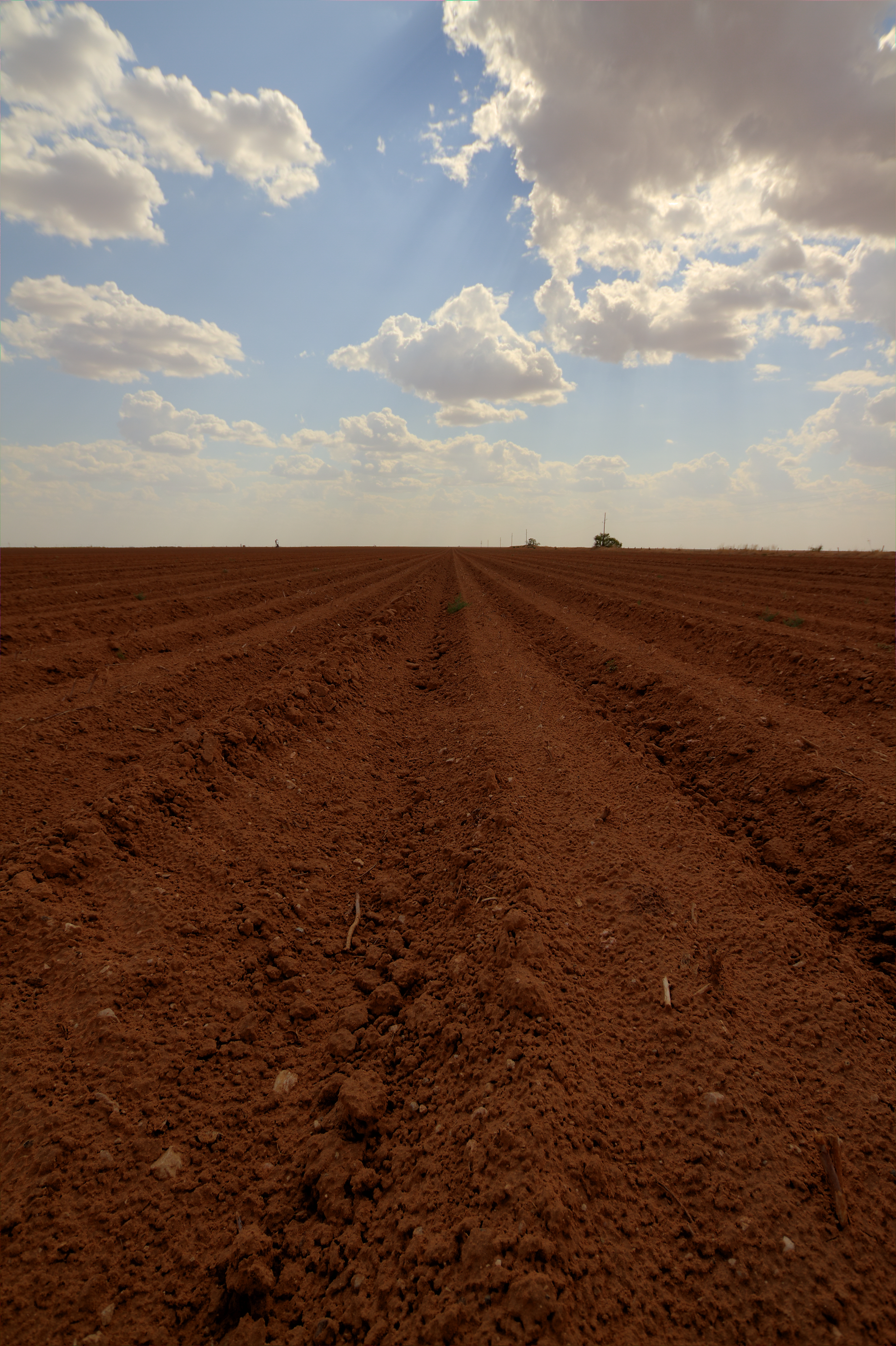
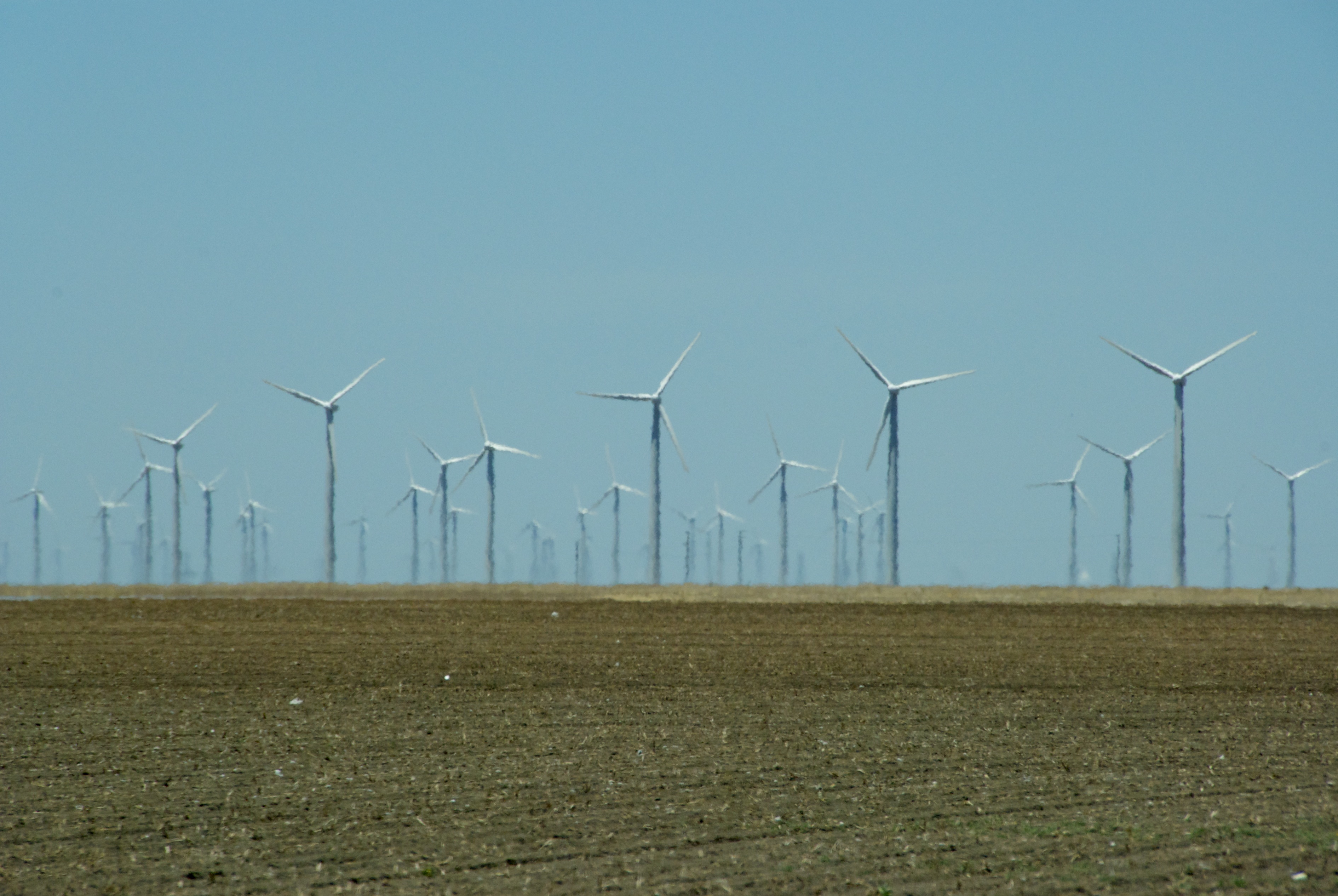
West Texas
stanton Cotton field
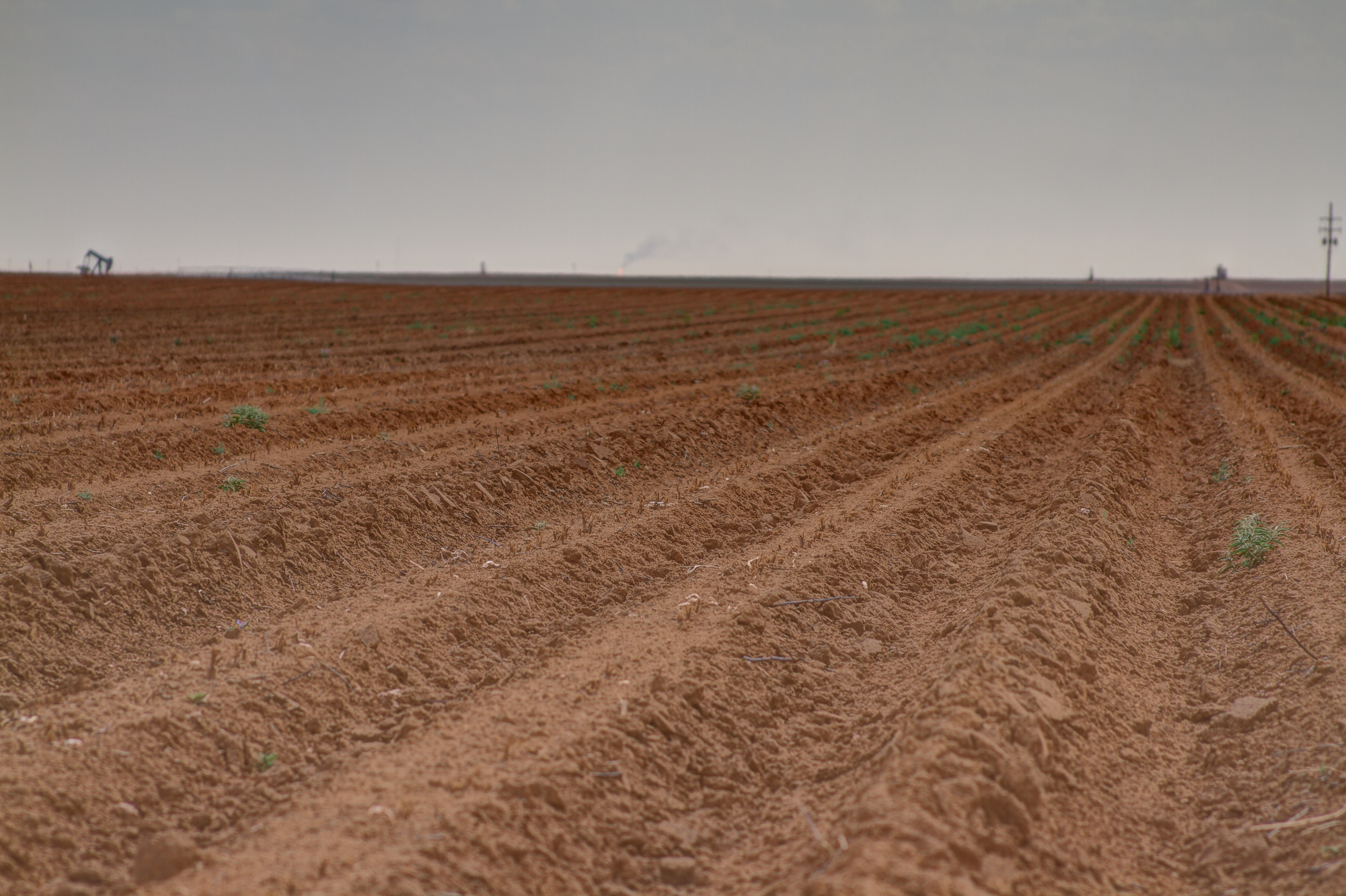
stanton field
Stanton La Mesa

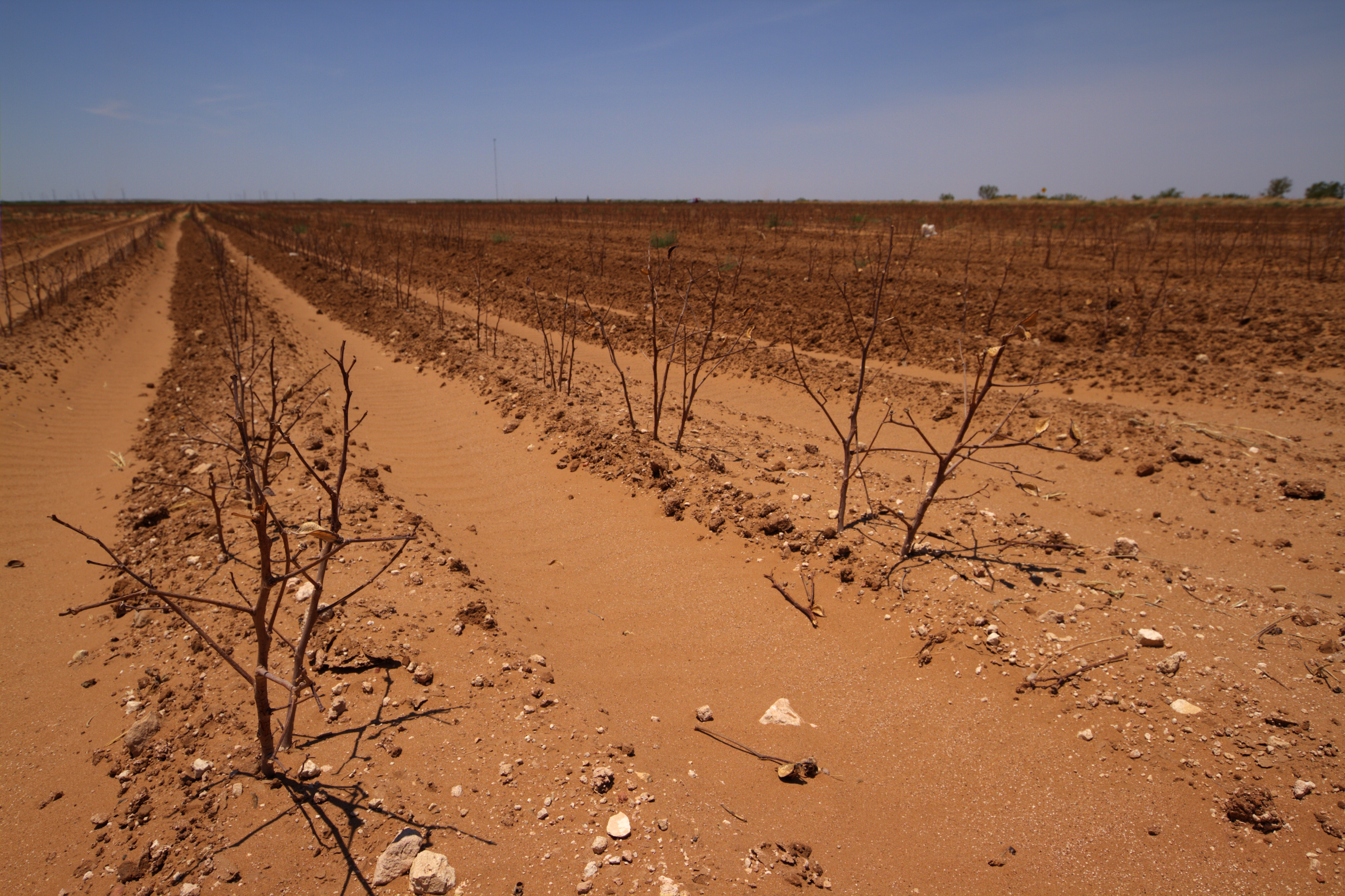
A day coming to an end.

Just hanging out in a cotton field, as all people do in Texas.
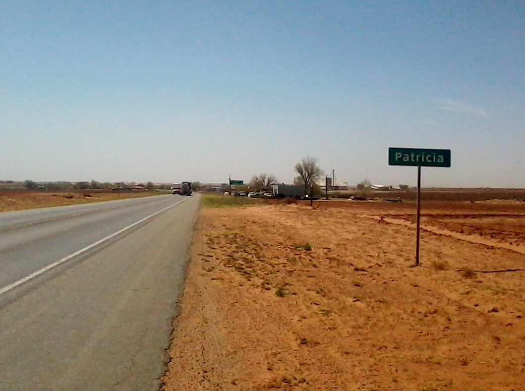
Patricia, Tx.

Cassie Flying Instruments

Altitude Check
West Texas Scenery
Topographic Map of County Rd H, Lamesa, TX, USA
Find elevation by address:

Places near County Rd H, Lamesa, TX, USA:
33 Main St, Lamesa, TX, USA
Lamesa
N Dallas Ave, Lamesa, TX, USA
Dawson County
Knott
O'Donnell, TX, USA
O'donnell
2288 Edward Rd
Gail
Wilbourn Ave, Gail, TX, USA
Borden County
Lynn County
Tahoka
N Us, Andrews, TX, USA
Terry County
Grassland
191 Us-180
Brownfield
Seminole
Wilson
Recent Searches:
- Elevation of Corso Fratelli Cairoli, 35, Macerata MC, Italy
- Elevation of Tallevast Rd, Sarasota, FL, USA
- Elevation of 4th St E, Sonoma, CA, USA
- Elevation of Black Hollow Rd, Pennsdale, PA, USA
- Elevation of Oakland Ave, Williamsport, PA, USA
- Elevation of Pedrógão Grande, Portugal
- Elevation of Klee Dr, Martinsburg, WV, USA
- Elevation of Via Roma, Pieranica CR, Italy
- Elevation of Tavkvetili Mountain, Georgia
- Elevation of Hartfords Bluff Cir, Mt Pleasant, SC, USA