Elevation of County Rd Cl, Ishpeming, MI, USA
Location: United States > Michigan > Marquette County > Ely Township >
Longitude: -87.7773425
Latitude: 46.5322858
Elevation: 488m / 1601feet
Barometric Pressure: 0KPa
Related Photos:
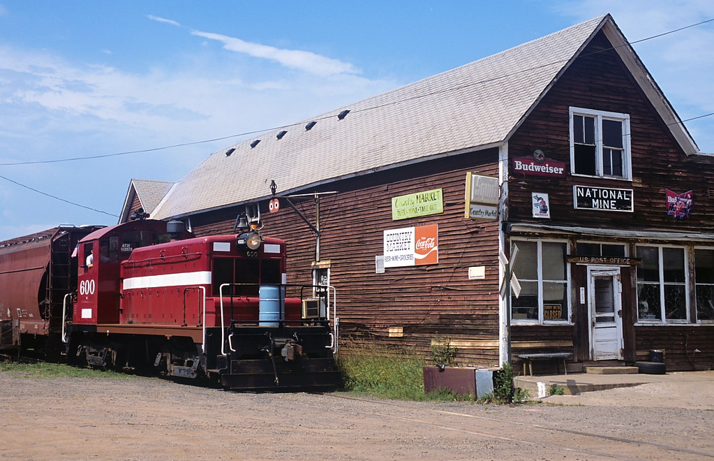
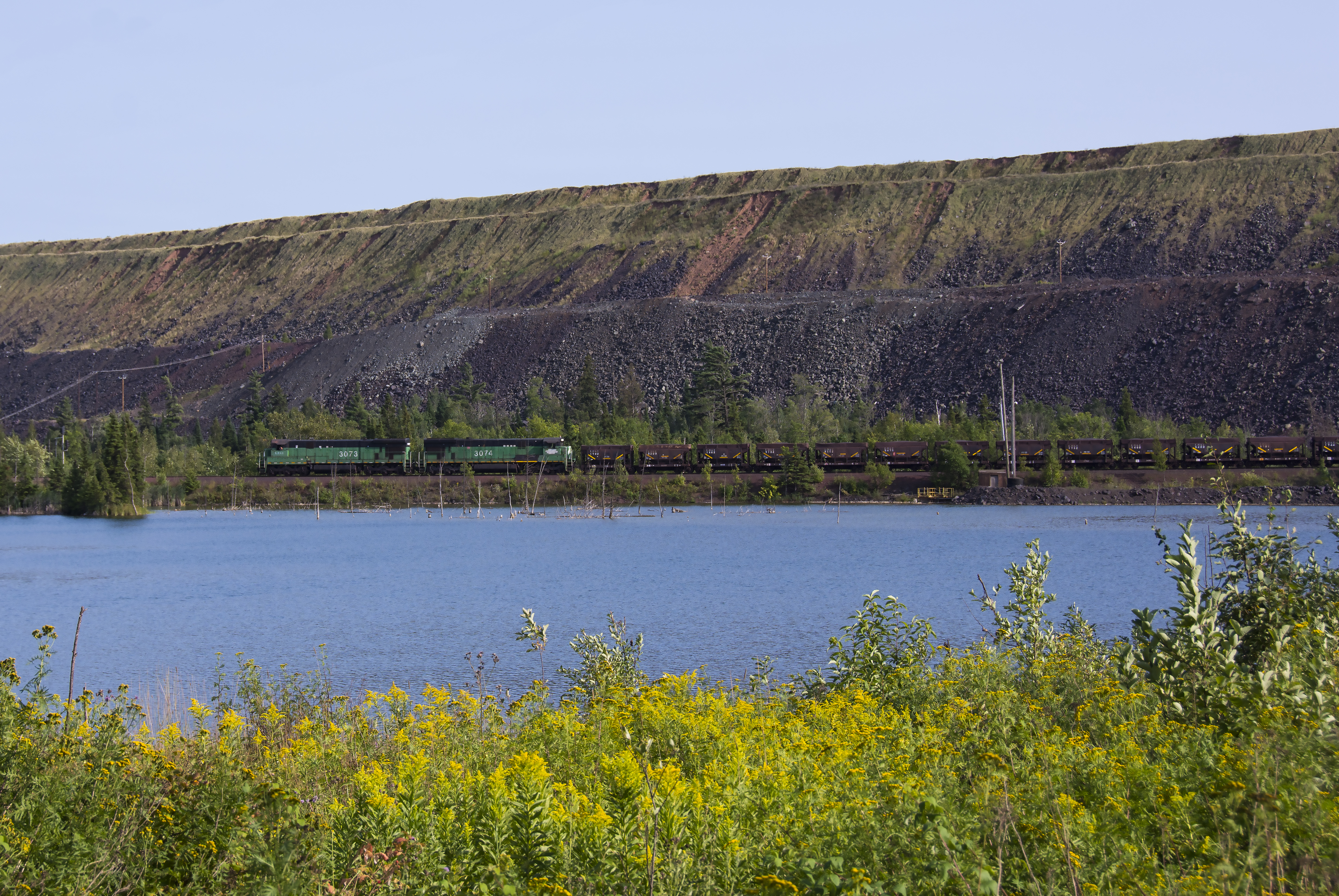
600 at National Mine

Cutout U.S. 41 Shield in Ishpeming, Wider View

ORE TO SHORE 2005
Out of the Shadows
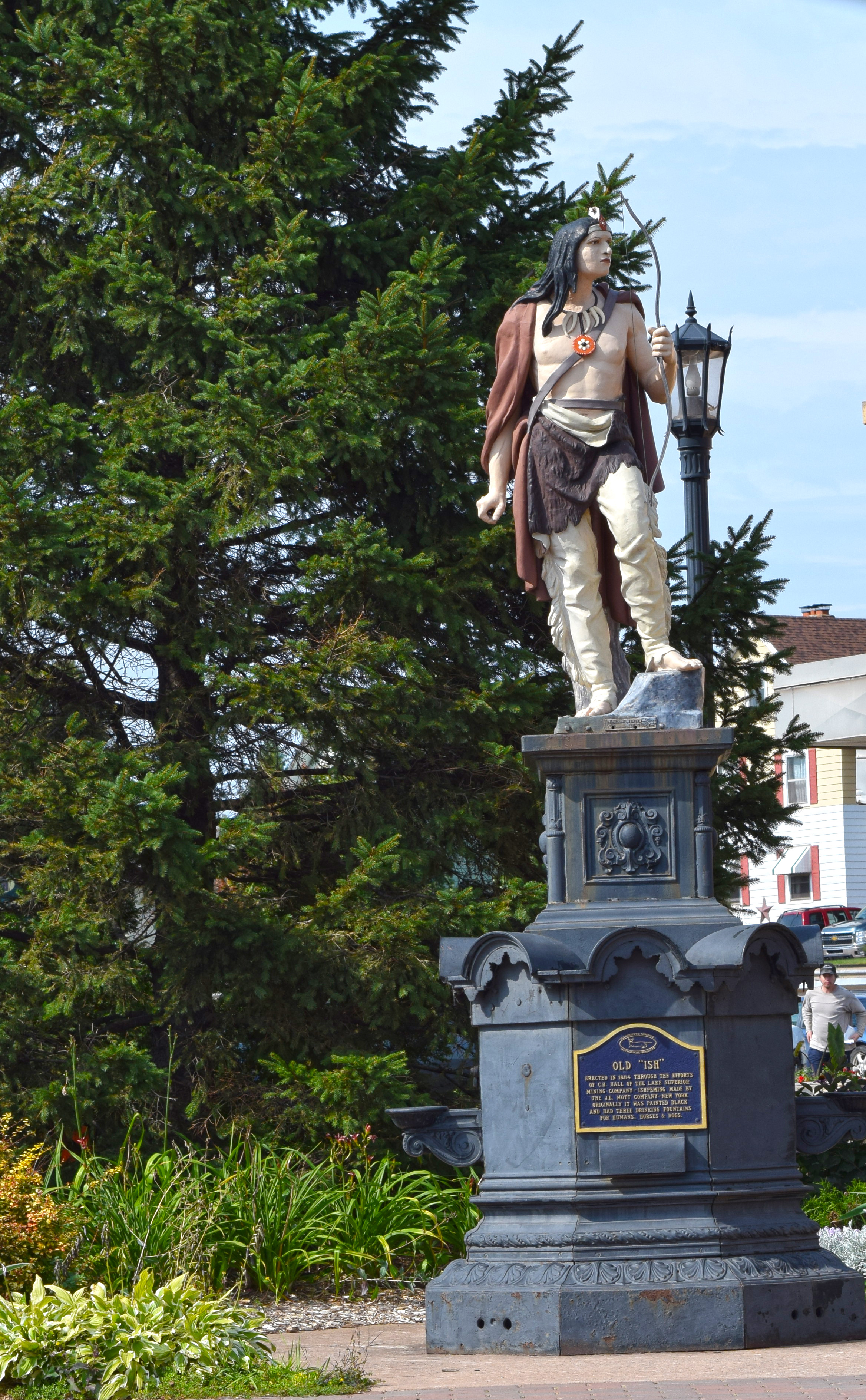
A View of the Old Ish Statue in Downtown Ishpeming Photo by Michigan Municipal League
Volker Pond (aka Little Lake)
Down Hill
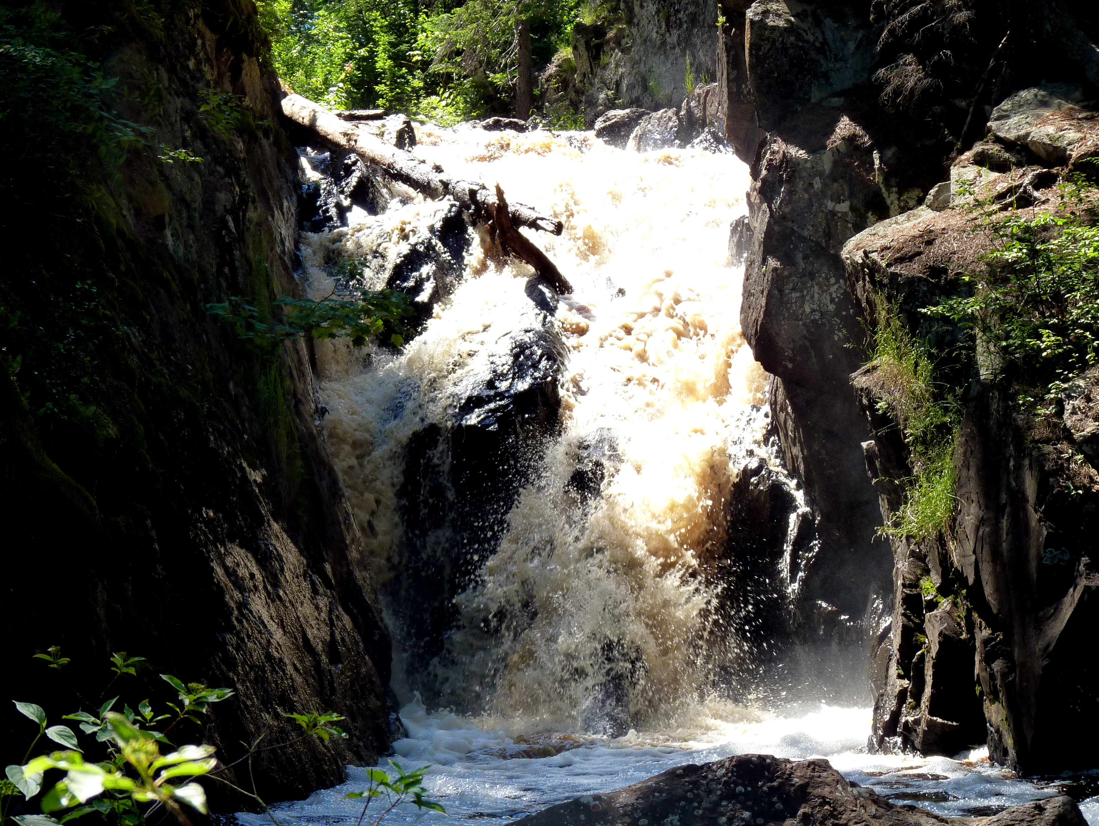
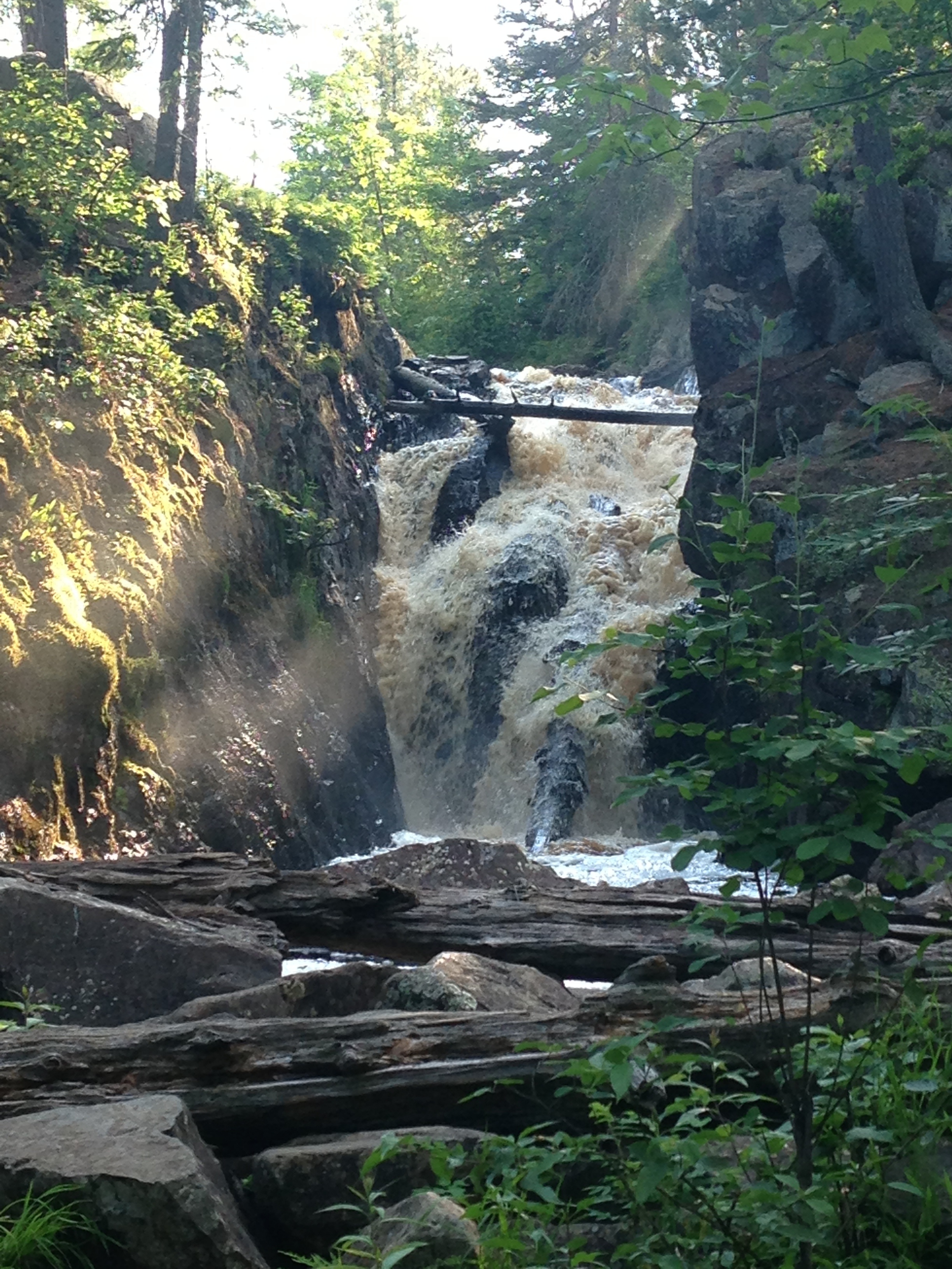
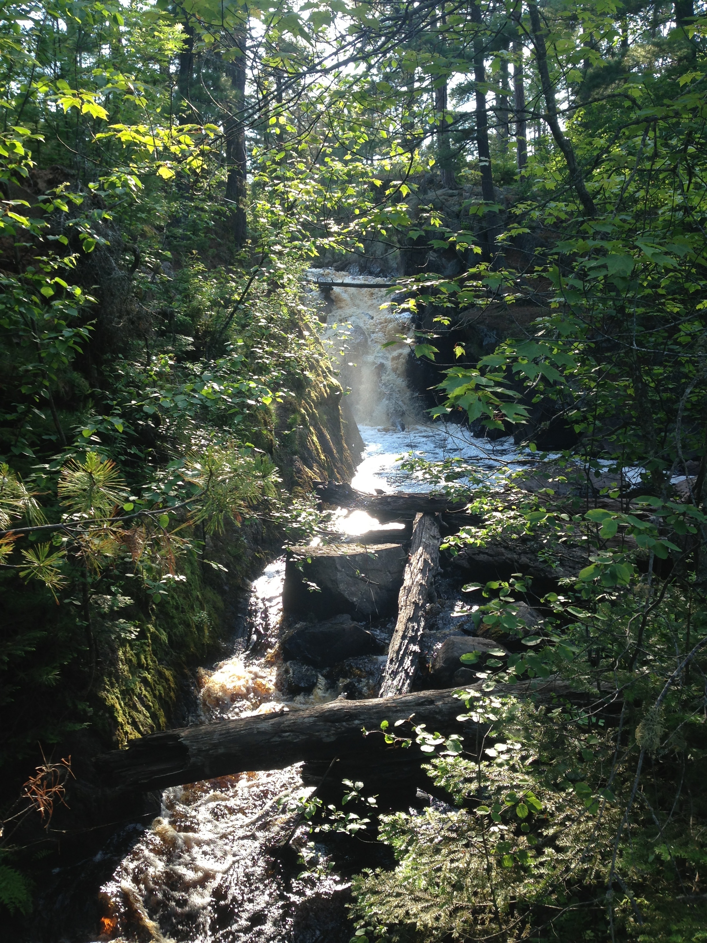
Black River Falls
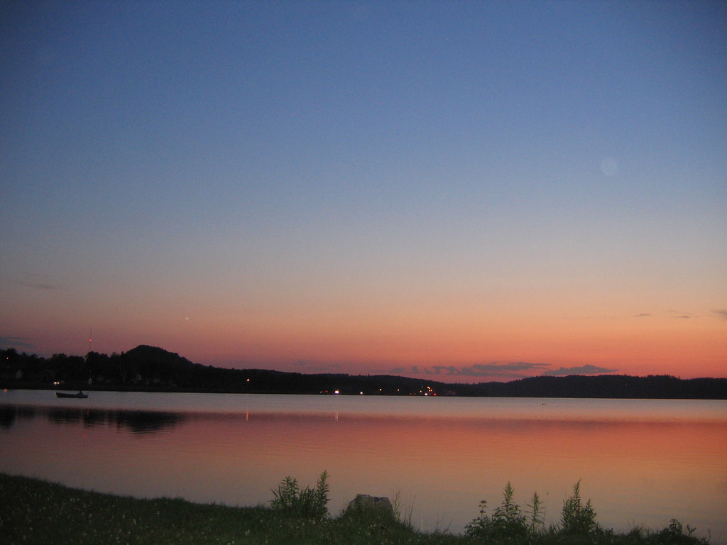
Teal Lake
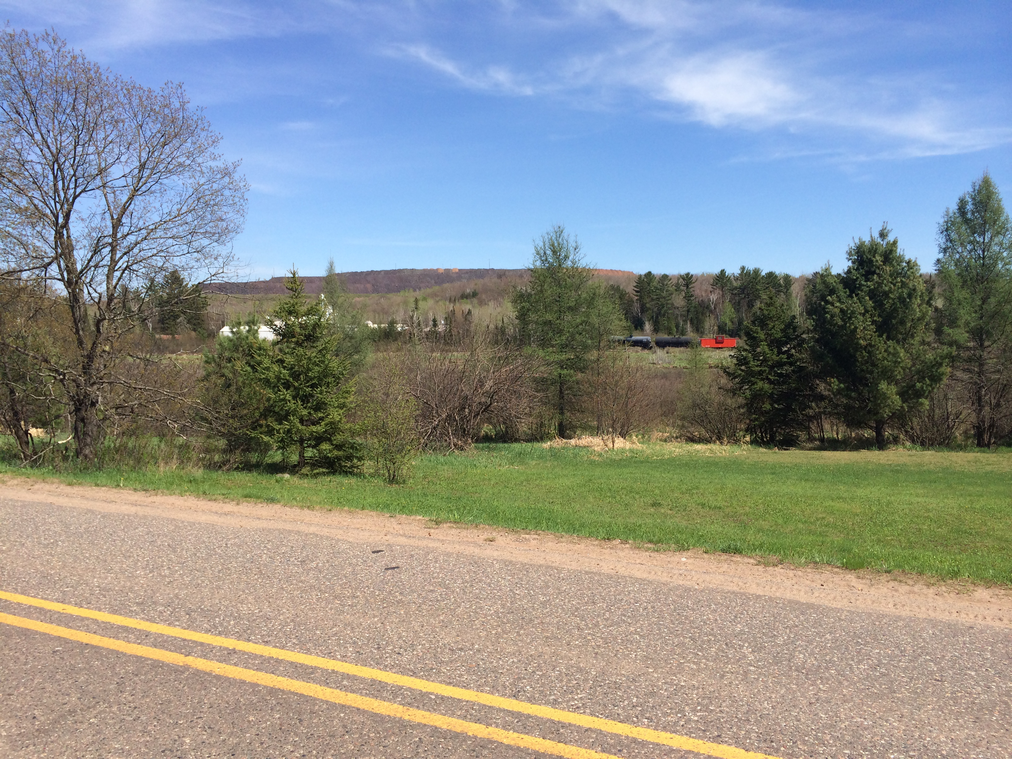
Suddenly, Black Mesa appeared in the distance
MQ-39-Black River Falls
MQ-33-Black River Falls
Topographic Map of County Rd Cl, Ishpeming, MI, USA
Find elevation by address:

Places near County Rd Cl, Ishpeming, MI, USA:
15976 County Rd Cl
15976 County Rd Cl
US-41, Ishpeming, MI, USA
1485 S Westwood Cir
West Ishpeming
Ishpeming
County Road Pba
1000 Co Rd Pcc
110 S Basin Dr
110 S Basin Dr
Negaunee
Brown Avenue & Mitchell Avenue
Carp River
Beacon
138 Johnson Rd
Negaunee Township
34 Midway Dr
Marquette County
M-35, Negaunee, MI, USA
250 Carrie Rd
Recent Searches:
- Elevation map of Greenland, Greenland
- Elevation of Sullivan Hill, New York, New York, 10002, USA
- Elevation of Morehead Road, Withrow Downs, Charlotte, Mecklenburg County, North Carolina, 28262, USA
- Elevation of 2800, Morehead Road, Withrow Downs, Charlotte, Mecklenburg County, North Carolina, 28262, USA
- Elevation of Yangbi Yi Autonomous County, Yunnan, China
- Elevation of Pingpo, Yangbi Yi Autonomous County, Yunnan, China
- Elevation of Mount Malong, Pingpo, Yangbi Yi Autonomous County, Yunnan, China
- Elevation map of Yongping County, Yunnan, China
- Elevation of North 8th Street, Palatka, Putnam County, Florida, 32177, USA
- Elevation of 107, Big Apple Road, East Palatka, Putnam County, Florida, 32131, USA
- Elevation of Jiezi, Chongzhou City, Sichuan, China
- Elevation of Chongzhou City, Sichuan, China
- Elevation of Huaiyuan, Chongzhou City, Sichuan, China
- Elevation of Qingxia, Chengdu, Sichuan, China
- Elevation of Corso Fratelli Cairoli, 35, Macerata MC, Italy
- Elevation of Tallevast Rd, Sarasota, FL, USA
- Elevation of 4th St E, Sonoma, CA, USA
- Elevation of Black Hollow Rd, Pennsdale, PA, USA
- Elevation of Oakland Ave, Williamsport, PA, USA
- Elevation of Pedrógão Grande, Portugal