Elevation of County Rd, Bay City, TX, USA
Location: United States > Texas > Matagorda County > Bay City >
Longitude: -96.000605
Latitude: 28.7654236
Elevation: 7m / 23feet
Barometric Pressure: 101KPa
Elevation Map:
Satellite Map:
Related Photos:

What a view when crossing the bridge

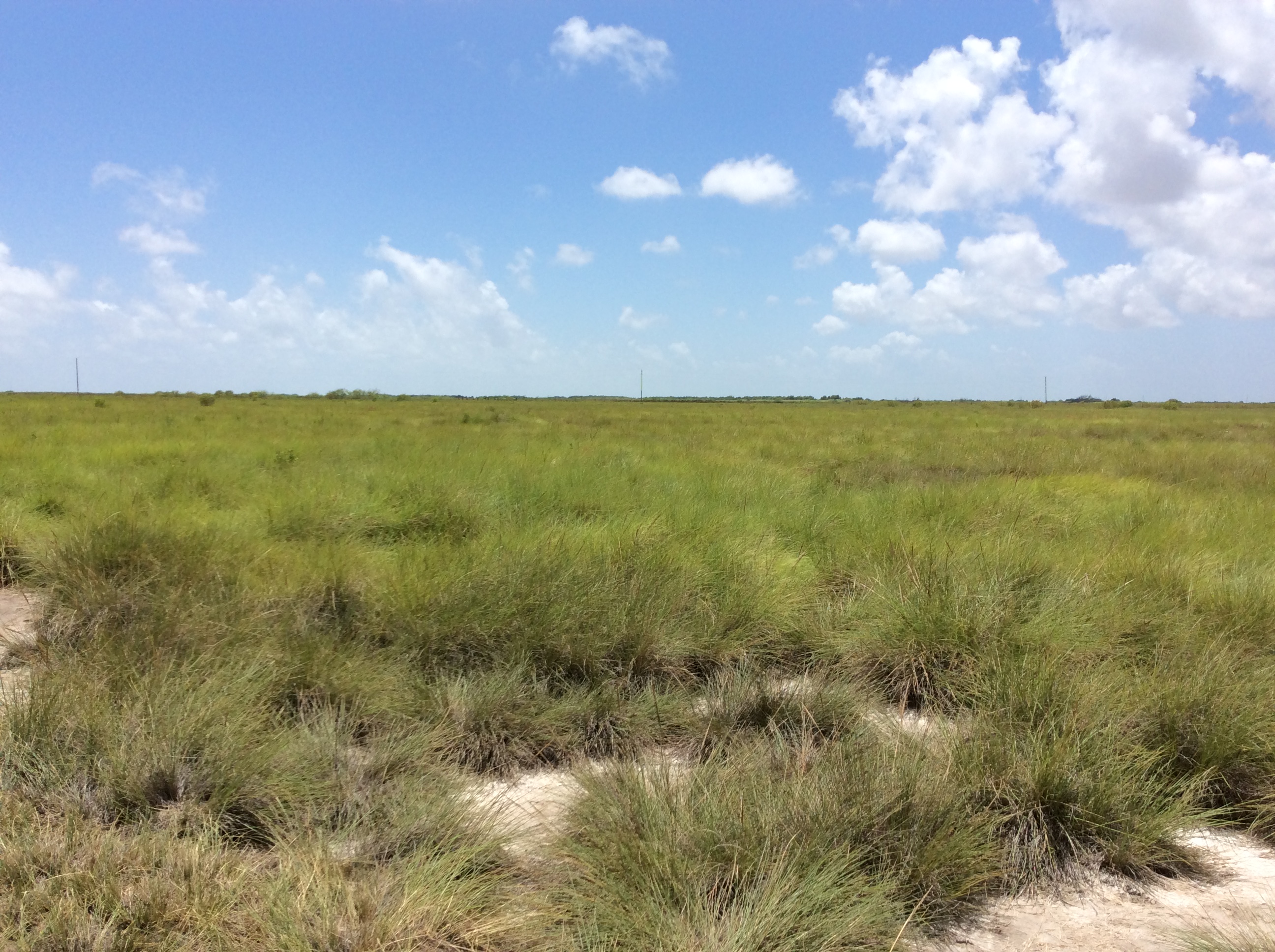
Great view on a super nice day!

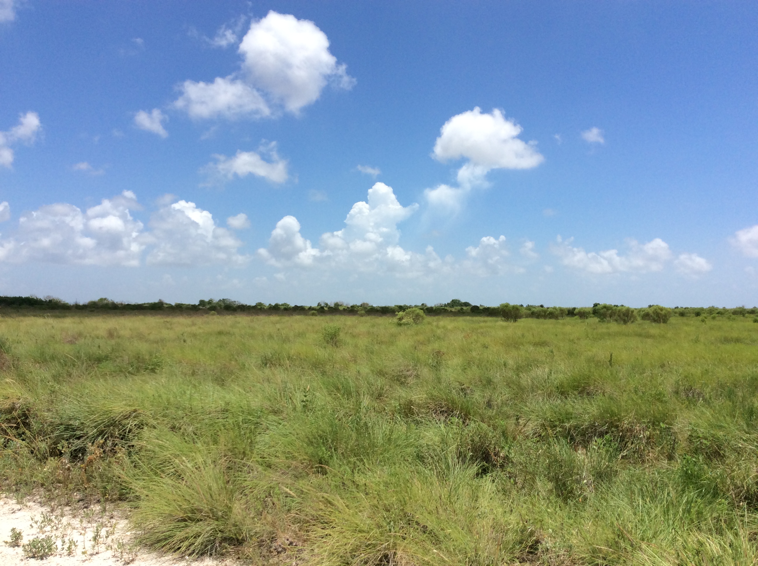
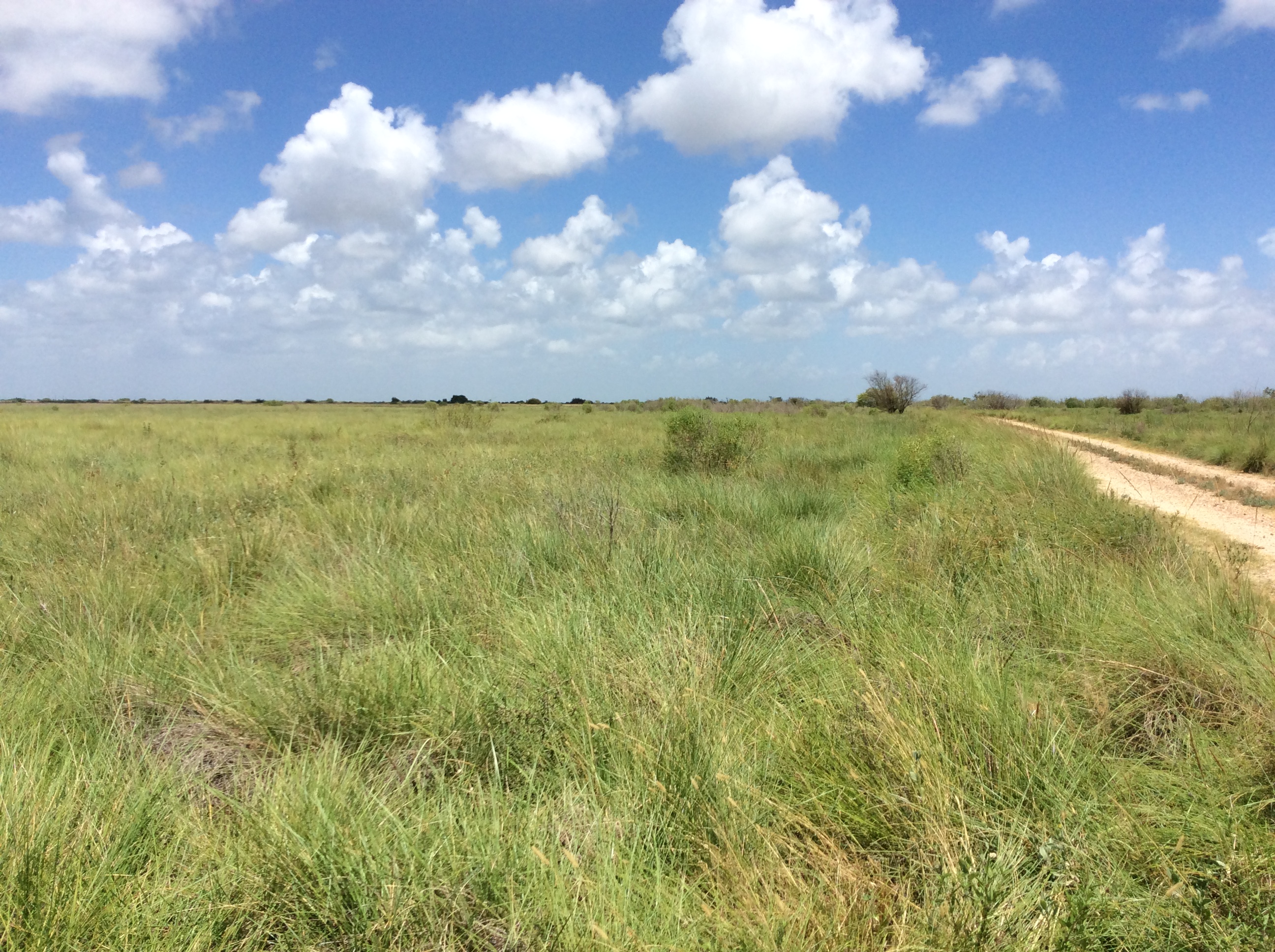
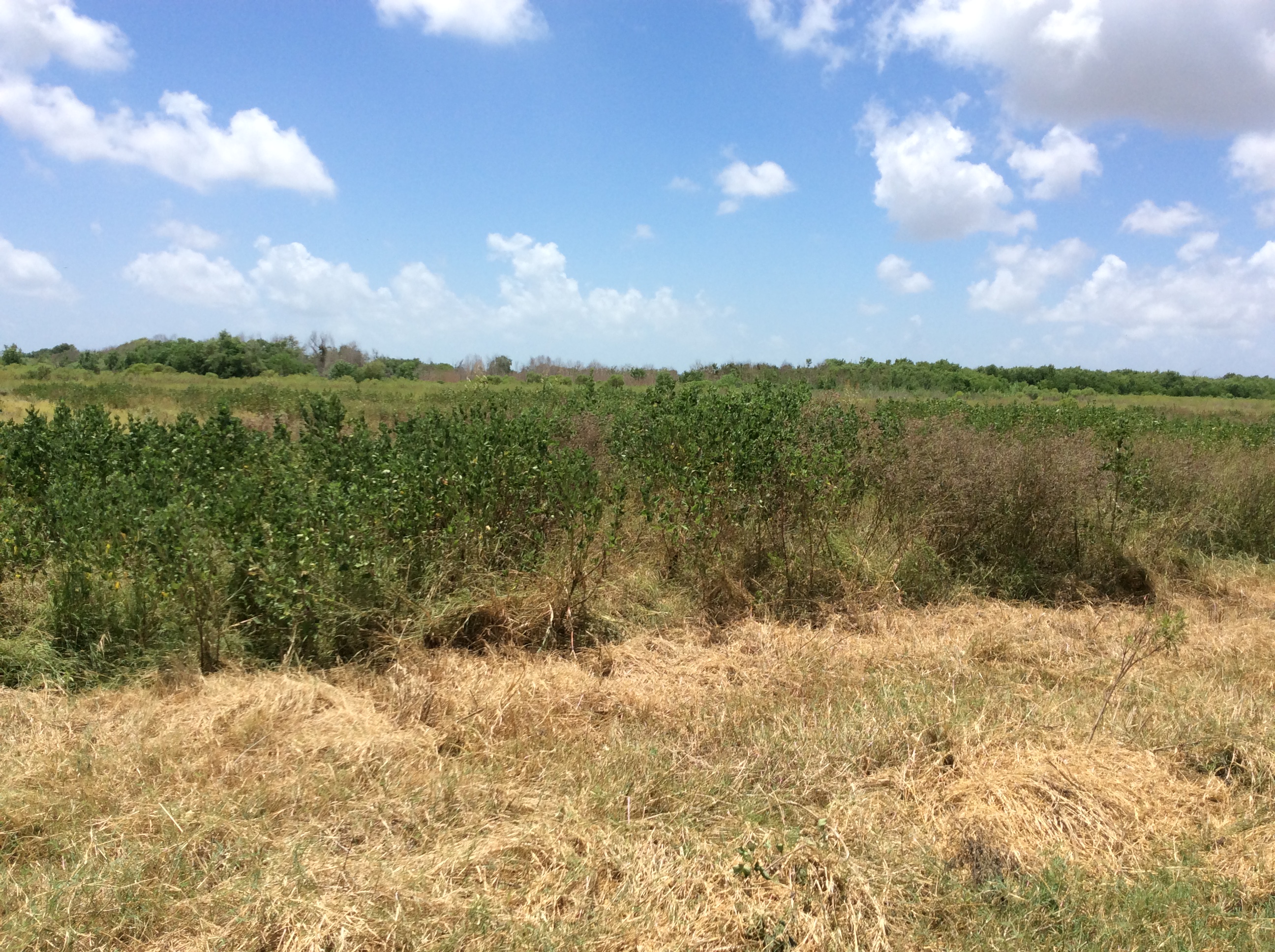
the field

the storm is coming

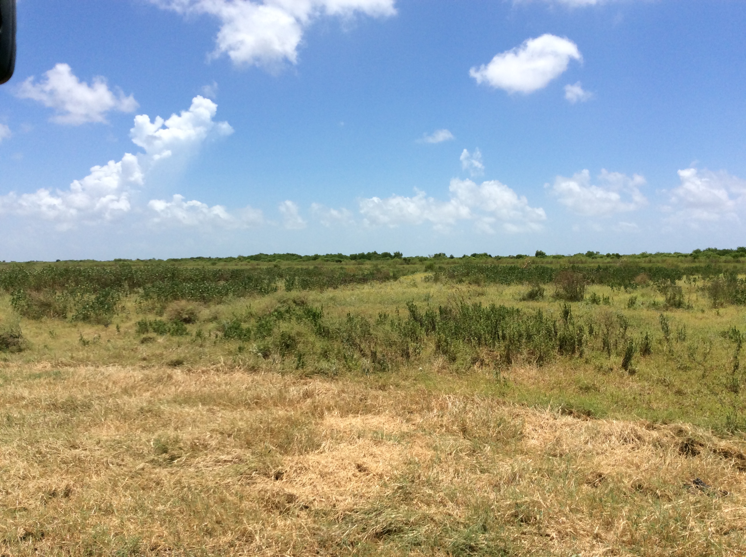
the scenery on my drive home
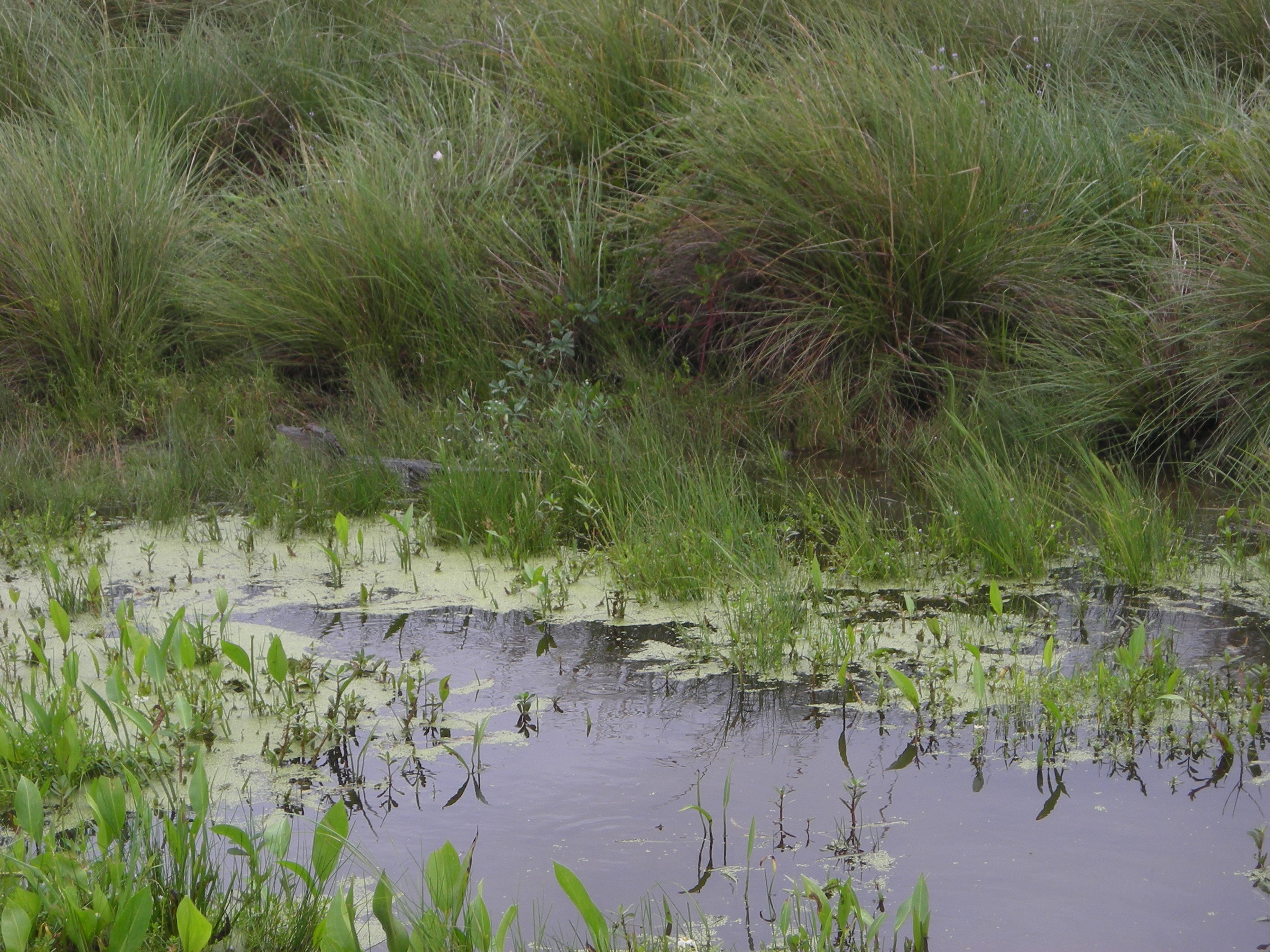
FDM20110624-4-4-Mad_Island_Marsh
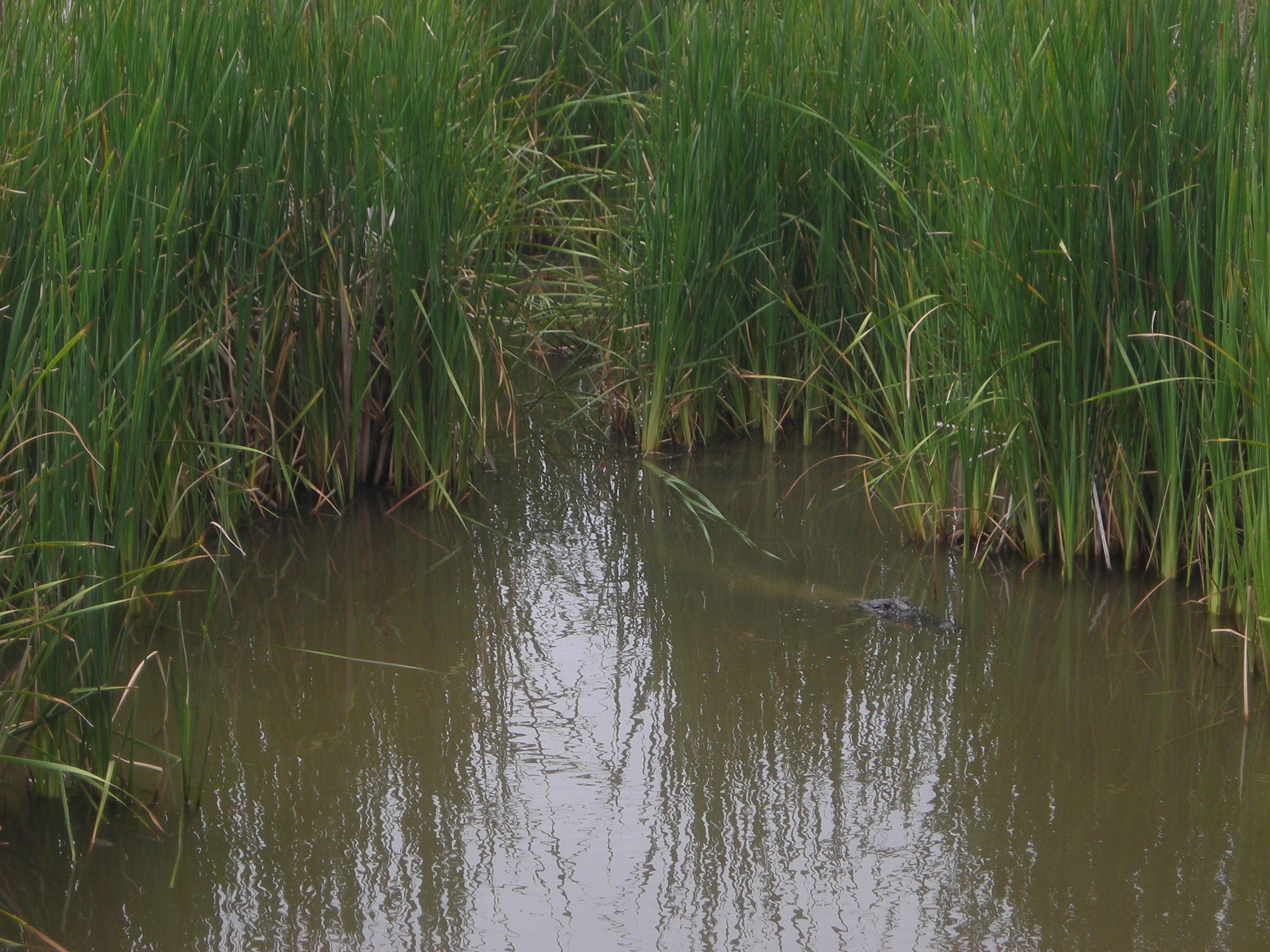
FDM20110624-2-1-Slough_Mad_Island
P25 DP6 Northwest

Sunset over the water
P27 DP7 North

Sedge Wren
P10 DP10 East
P23 DP5 North
P20 DP3 North

P26 DP7 East
P25 DP6 Northwest
P19 DP3 East
P21 DP4 Northeast
P7 Bullbarn West
P18 DP2 South
P7 Bullbarn West
P24 DP5 West
P8 Bullbarn East
Topographic Map of County Rd, Bay City, TX, USA
Find elevation by address:

Places near County Rd, Bay City, TX, USA:
76 Rachel Dr
683 County Rd 239
1888 County Rd 243
Fm 521 River Park
Matagorda County
561 Mimosa Ln
381 Center St
381 Center St
427 Caney St
Matagorda
117 Caney St
760 Caney St
257 Matagorda St
Wadsworth
23 Beach Rd
23 Beach Rd
Bay City, TX, USA
Farm To Market Road 1095
Chinquapin Road
Dunes Drive
Recent Searches:
- Elevation of Corso Fratelli Cairoli, 35, Macerata MC, Italy
- Elevation of Tallevast Rd, Sarasota, FL, USA
- Elevation of 4th St E, Sonoma, CA, USA
- Elevation of Black Hollow Rd, Pennsdale, PA, USA
- Elevation of Oakland Ave, Williamsport, PA, USA
- Elevation of Pedrógão Grande, Portugal
- Elevation of Klee Dr, Martinsburg, WV, USA
- Elevation of Via Roma, Pieranica CR, Italy
- Elevation of Tavkvetili Mountain, Georgia
- Elevation of Hartfords Bluff Cir, Mt Pleasant, SC, USA