Elevation of County Rd 75, Adams, NY, USA
Location: United States > New York > Jefferson County >
Longitude: -76.121629
Latitude: 43.8169929
Elevation: 146m / 479feet
Barometric Pressure: 100KPa
Elevation Map:
Satellite Map:
Related Photos:
US Customs Phone

The last drops of sunlight

Henderson Harbor

Booth & Display Setup
sackets harbor
DSB_3312 (Medium)
black river bay

MadeInNYFestBoothSetup (5)
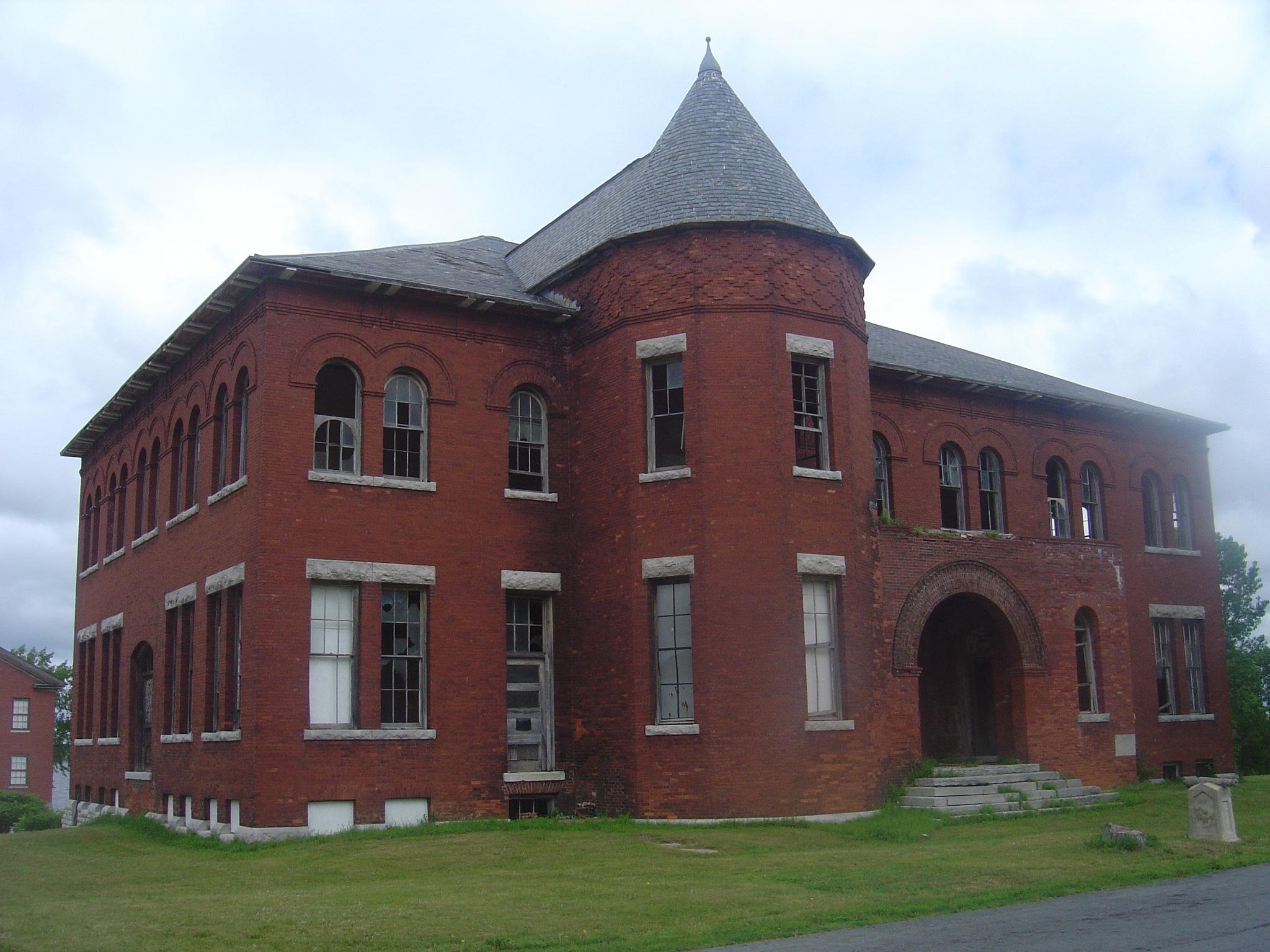
Madison Barracks- Sackets Harbor NY (3)
Pic-0024
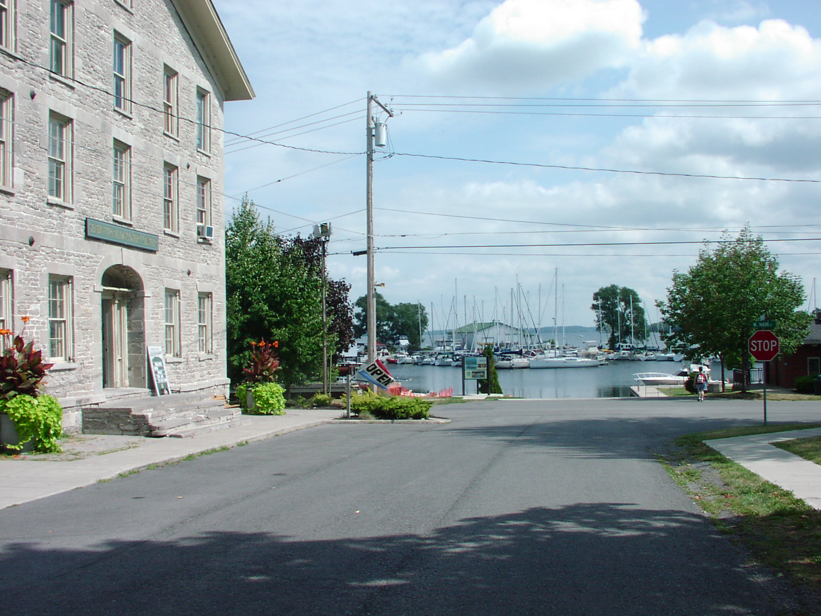
Sackets Harbor

Pic-0026
Aug-0024
Sackets Harbor scenery: 5 of 11
#latergram of last weekend on Lake Ontario.
#latergram of the amazing sunset last weekend at Montario Point

Lake Ontario beach day.

Crazy Sunset Lighting

Southwick Beach
#storm #rain #clouds #hendersonharbor #snapseed #instagram
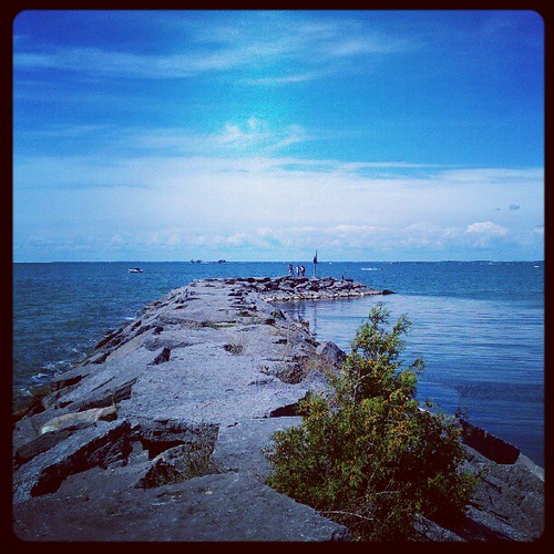
Jetty at Westcott Beach State Park
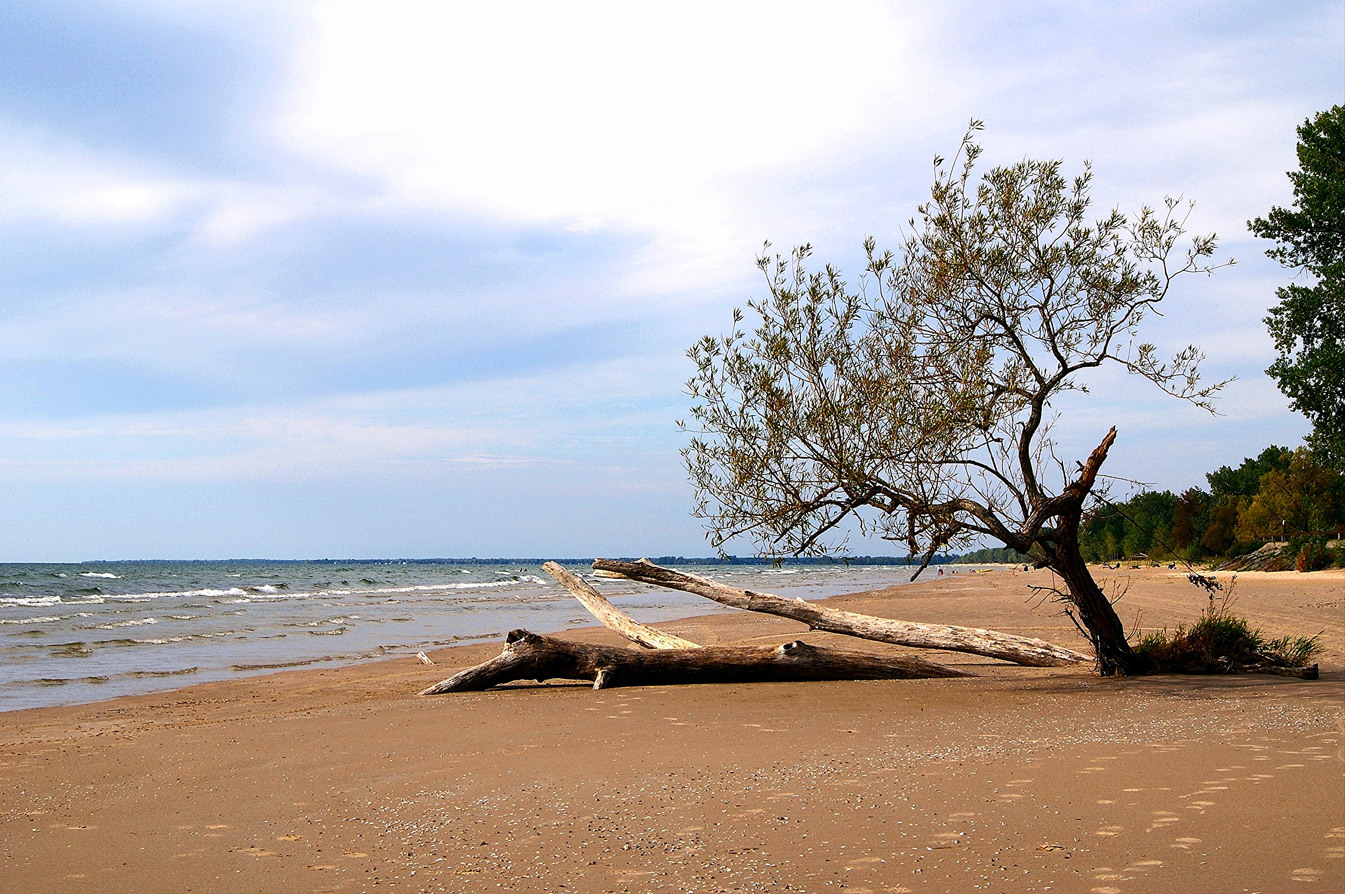
Lone Tree
2014-06-17 17.34.51

Talcott Falls3
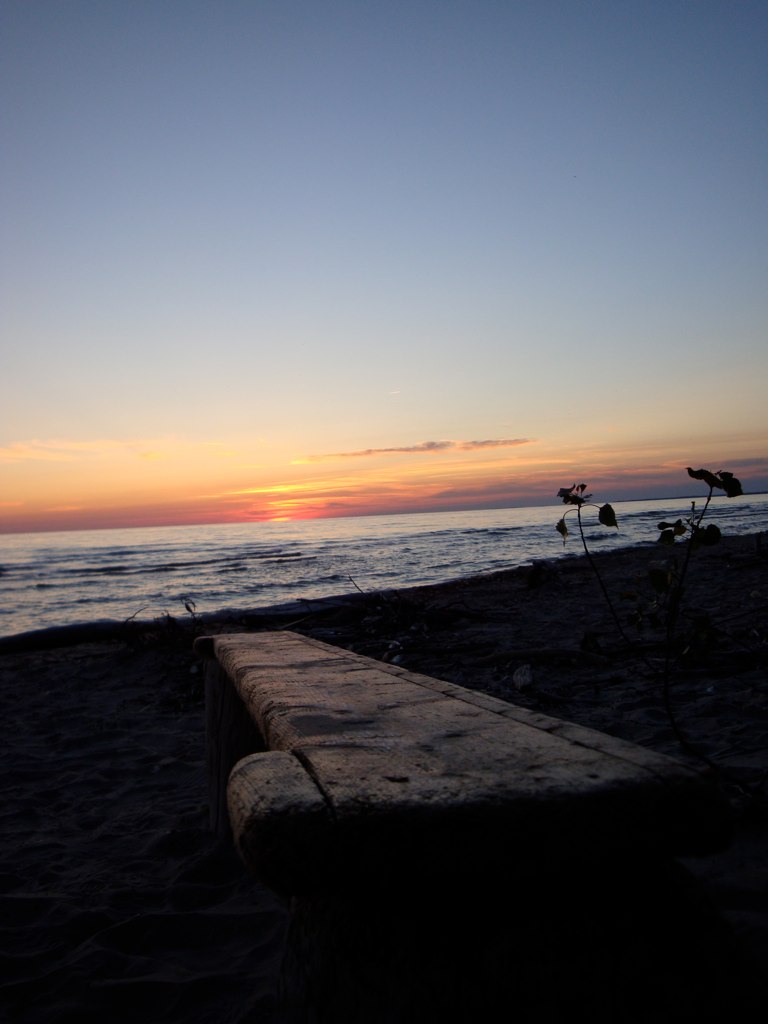
Southwick Beach Driftwood Sunset

Henderson harbor
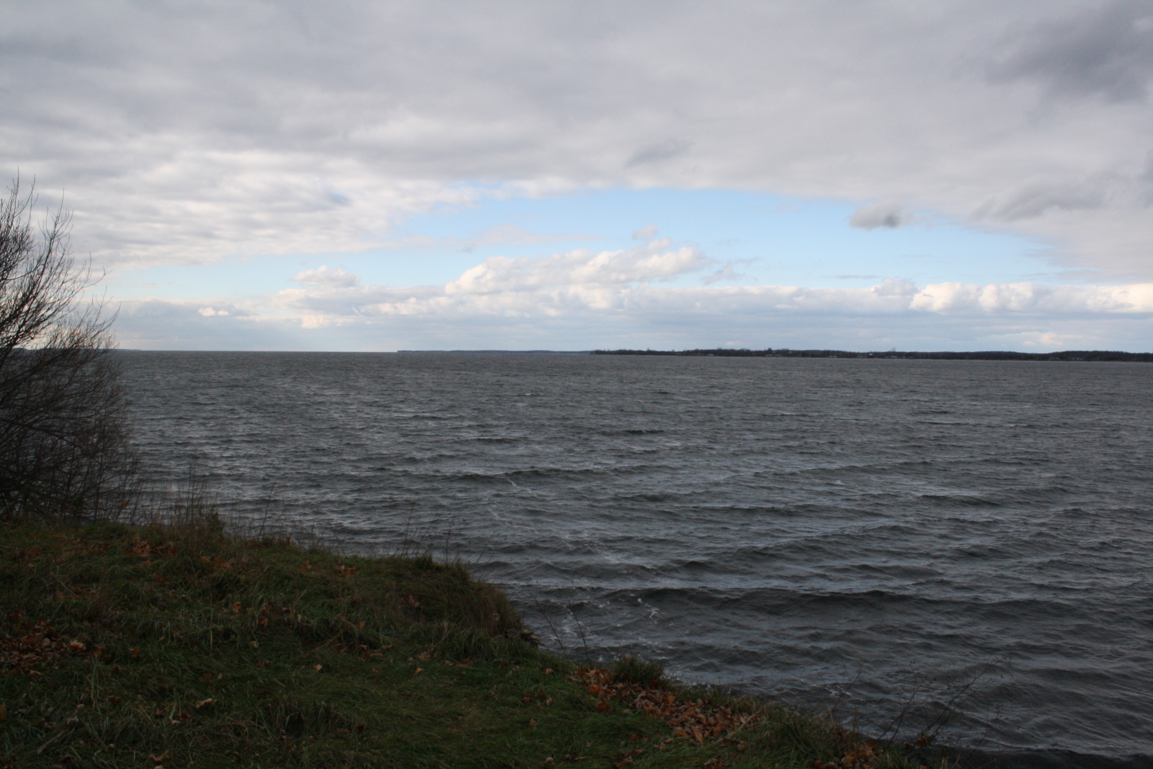
Lake Ontario
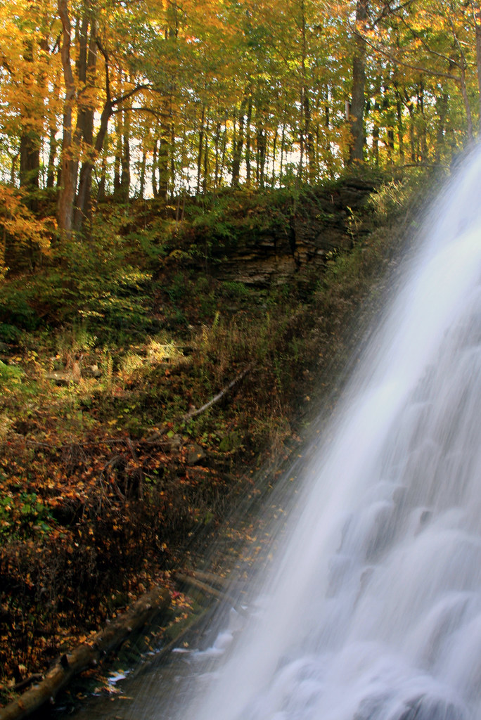
Talcott Falls

Southwick Beach sunset
Topographic Map of County Rd 75, Adams, NY, USA
Find elevation by address:

Places near County Rd 75, Adams, NY, USA:
Dixon Rd, Adams, NY, USA
County Rd 79, Henderson, NY, USA
Henderson
County Rd 72, Henderson, NY, USA
Allard Rd, Henderson, NY, USA
Ellisburg
Henderson
Ellisburg
Main St, Ellisburg, NY, USA
County Road 120
Henderson, NY, USA
Ellisburg, NY, USA
County Rd 76, Adams Center, NY, USA
Adams
Adams Country Club
North Adams Heights
Adams
Mannsville
Adams Center
E Main St, Sackets Harbor, NY, USA
Recent Searches:
- Elevation of Corso Fratelli Cairoli, 35, Macerata MC, Italy
- Elevation of Tallevast Rd, Sarasota, FL, USA
- Elevation of 4th St E, Sonoma, CA, USA
- Elevation of Black Hollow Rd, Pennsdale, PA, USA
- Elevation of Oakland Ave, Williamsport, PA, USA
- Elevation of Pedrógão Grande, Portugal
- Elevation of Klee Dr, Martinsburg, WV, USA
- Elevation of Via Roma, Pieranica CR, Italy
- Elevation of Tavkvetili Mountain, Georgia
- Elevation of Hartfords Bluff Cir, Mt Pleasant, SC, USA