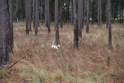
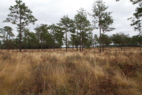
Elevation of County Line Rd, Camilla, GA, USA
Location: United States > Georgia > Decatur County >
Longitude: -84.414320
Latitude: 31.0784249
Elevation: 44m / 144feet
Barometric Pressure: 101KPa
Related Photos:
Topographic Map of County Line Rd, Camilla, GA, USA
Find elevation by address:

Places near County Line Rd, Camilla, GA, USA:
Vada Rd, Bainbridge, GA, USA
Riverview Drive
Baker County
Colquitt Hwy, Bainbridge, GA, USA
GA-37, Newton, GA, USA
4124 Bethel Rd
Phillipsburg Rd, Colquitt, GA, USA
GA-, Leary, GA, USA
Colquitt
Brinson
Miller County
Brumby Ave, Damascus, GA, USA
Damascus
5090 Nicklesville Rd
Main St, Leary, GA, USA
Leary
196 Wildmeade Rd
Nell Ave, Donalsonville, GA, USA
Donalsonville
Pioneer Rd, Arlington, GA, USA
Recent Searches:
- Elevation of Corso Fratelli Cairoli, 35, Macerata MC, Italy
- Elevation of Tallevast Rd, Sarasota, FL, USA
- Elevation of 4th St E, Sonoma, CA, USA
- Elevation of Black Hollow Rd, Pennsdale, PA, USA
- Elevation of Oakland Ave, Williamsport, PA, USA
- Elevation of Pedrógão Grande, Portugal
- Elevation of Klee Dr, Martinsburg, WV, USA
- Elevation of Via Roma, Pieranica CR, Italy
- Elevation of Tavkvetili Mountain, Georgia
- Elevation of Hartfords Bluff Cir, Mt Pleasant, SC, USA


