Elevation of County Highway M, Wilton, WI, USA
Location: United States > Wisconsin > Monroe County > Wilton >
Longitude: -90.531187
Latitude: 43.8648219
Elevation: 359m / 1178feet
Barometric Pressure: 97KPa
Elevation Map:
Satellite Map:
Related Photos:

Lake As Mirror

The Farm
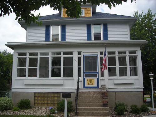
View of the house

far.. far away
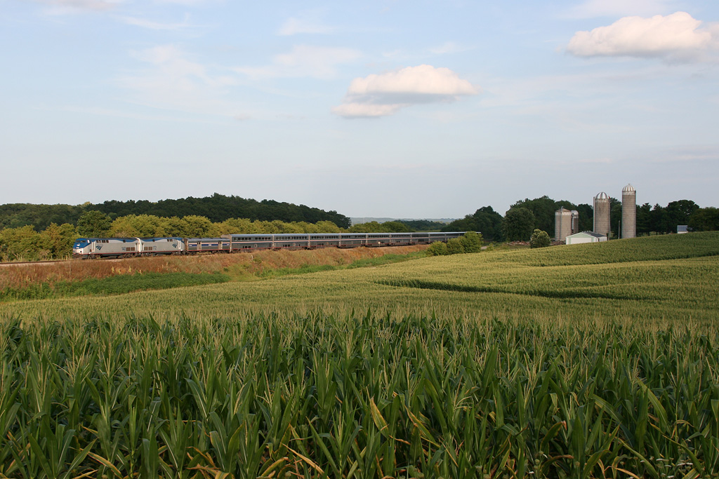
America's Train
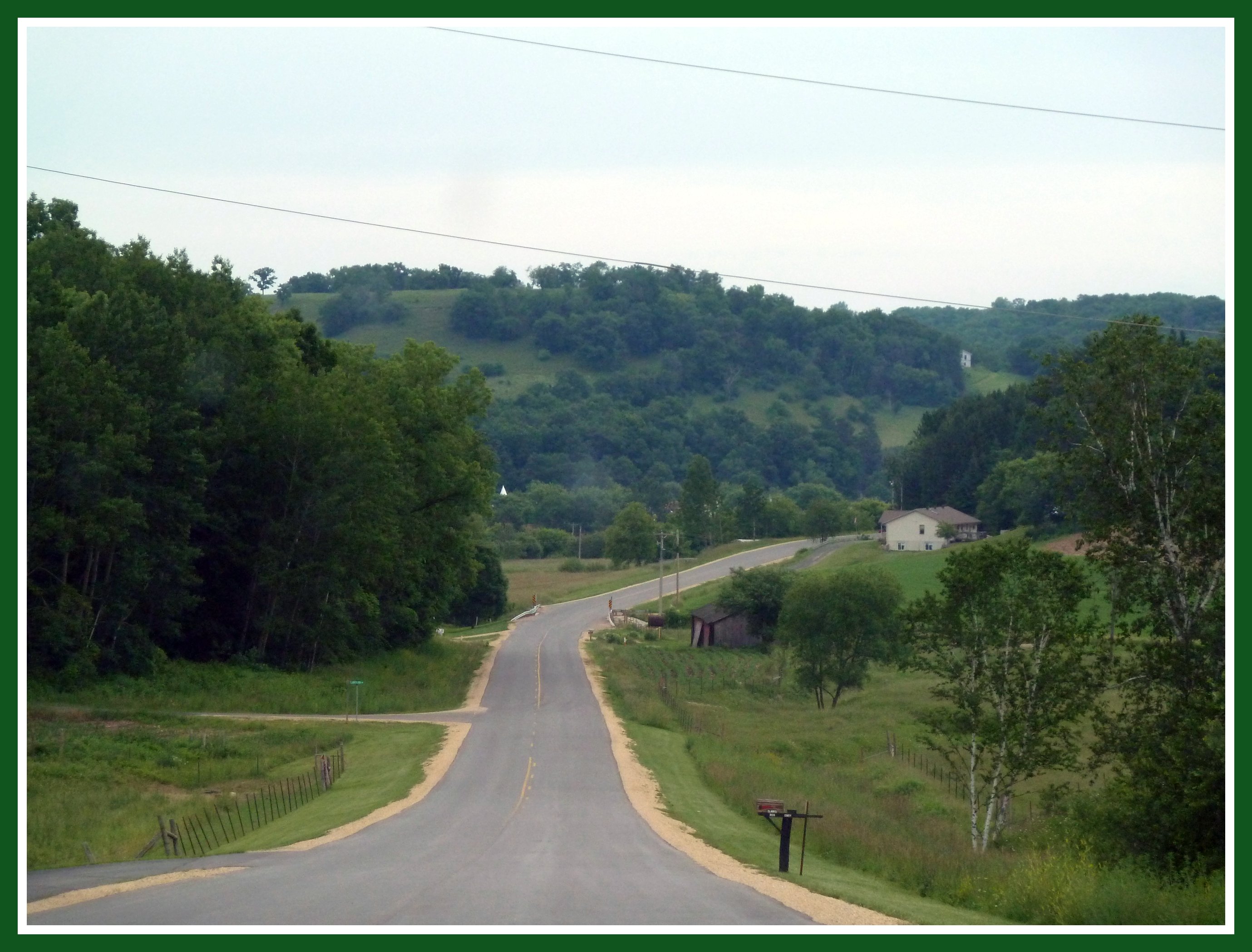
down a country road...

traditional red barn still standing

Mountain Side

Tom's pics

20150623-DSCF8802

Coulee Country
Topographic Map of County Highway M, Wilton, WI, USA
Find elevation by address:

Places near County Highway M, Wilton, WI, USA:
Wilton
Wilton
Main St, Wilton, WI, USA
Tomah
26549 Locust Ave
26948 Wi-71
South St, Norwalk, WI, USA
Norwalk
Tomah
15414 Hollow Rd
815 N Superior Ave
21768 Co Hwy Et
Flaten Ave, Tomah, WI, USA
Ontario
WI-21, Tomah, WI, USA
Wildcat Mountain State Park
Co Hwy U, Norwalk, WI, USA
Oakdale
W Badger Dr, Tomah, WI, USA
La Grange
Recent Searches:
- Elevation of Corso Fratelli Cairoli, 35, Macerata MC, Italy
- Elevation of Tallevast Rd, Sarasota, FL, USA
- Elevation of 4th St E, Sonoma, CA, USA
- Elevation of Black Hollow Rd, Pennsdale, PA, USA
- Elevation of Oakland Ave, Williamsport, PA, USA
- Elevation of Pedrógão Grande, Portugal
- Elevation of Klee Dr, Martinsburg, WV, USA
- Elevation of Via Roma, Pieranica CR, Italy
- Elevation of Tavkvetili Mountain, Georgia
- Elevation of Hartfords Bluff Cir, Mt Pleasant, SC, USA