Elevation of Country Ridge Rd, Laurel Park, NC, USA
Location: United States > North Carolina > Henderson County > Hendersonville > Laurel Park >
Longitude: -82.506685
Latitude: 35.3189078
Elevation: 826m / 2710feet
Barometric Pressure: 92KPa
Elevation Map:
Satellite Map:
Related Photos:

sunset 3-26-20

Island in the Fog

sunset 8-16-2017

Hendersonville Bears 13 - Into The Wild

Logs and Hay

Orange Peppers

Early December Sunset

Jeter Mountain Fog

Hay Bale II
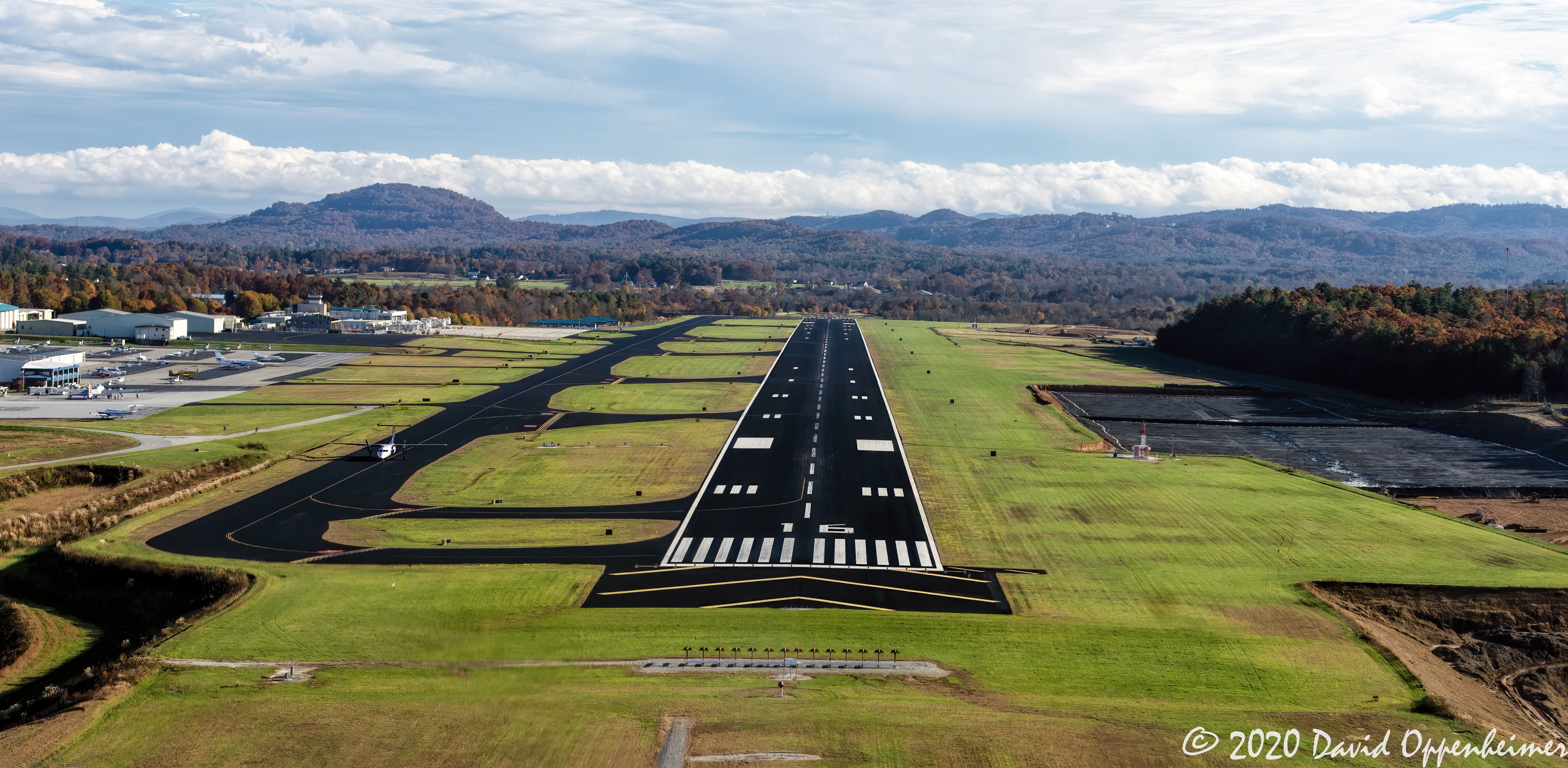
Asheville Regional Airport Runway 16 Landing Approach Aerial View

Welcome to Asheville NC - Blue Ridge Mountains Sunset

private parts

Flat Rock Village Hall

Sugarloaf Elementary School, Hendersonville, NC

PV McCain Traffic Lights

Into the Evening Air

PV McCains Traffic Lights

90/365 ~ Saluda Cottages, Flat Rock, NC

High Bridge (Side View)

56/365 ~ “A cloud cannot cast a shadow unless the sun is shining beyond it”

Downtown Hendersonville, North Carolina

Asheville, North Carolina

Sunrise Tryon

8-6-19 Sunset

Low Key

Happy 4th of July!

Sun Beam

Friday night lights
The Guarded Way

Mountain Magenta

The Carl Sandburg National Historic Site

The Park At Flat Rock (Flat Rock, North Carolina)

Seven Falls (Etowah, North Carolina)

Road to Nowhere

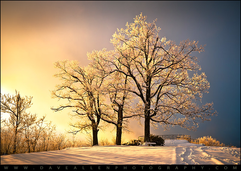
First light

Field of Zinnias Under a Very Cloudy Sky

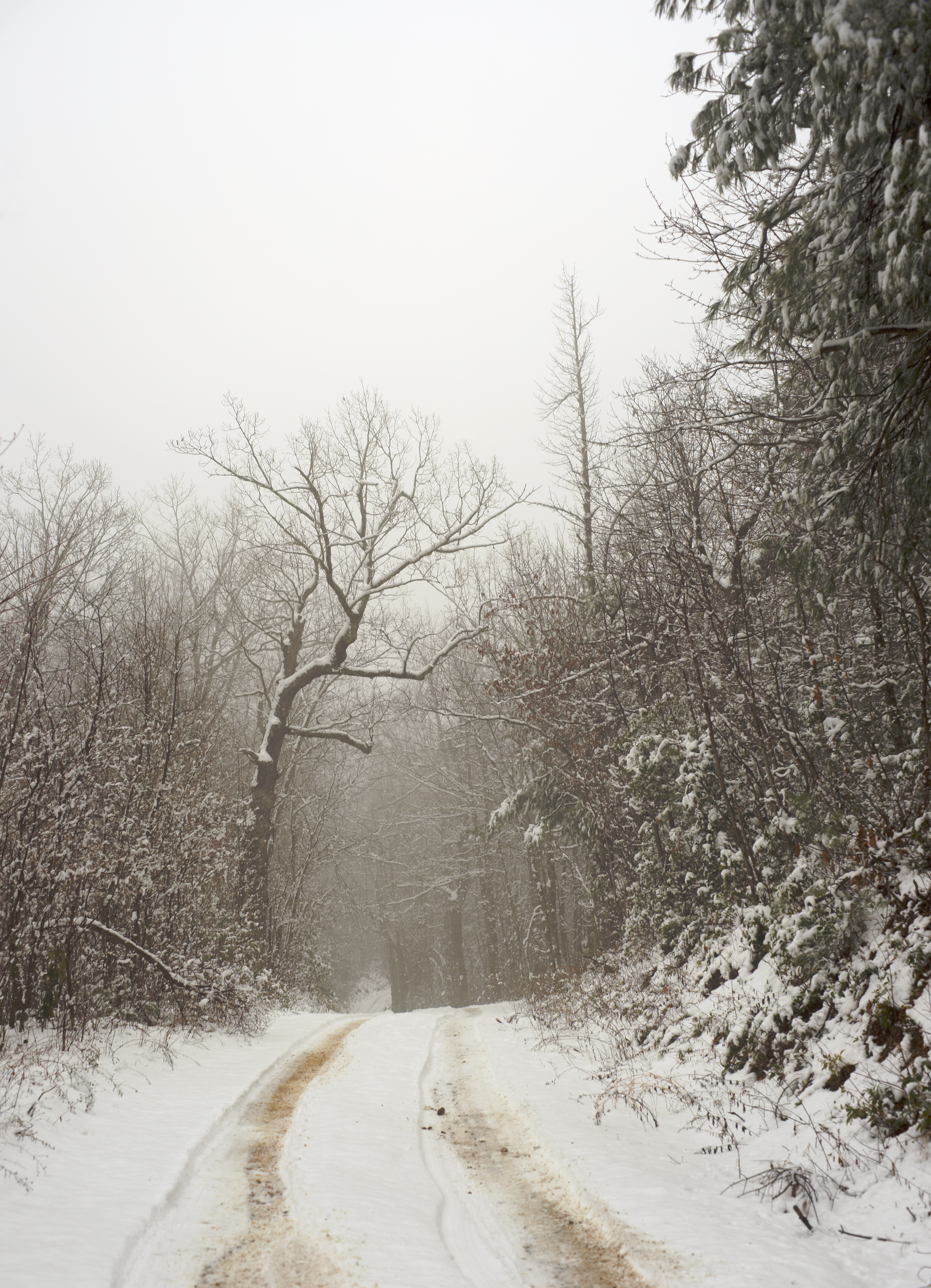
Morning Mist
Jump Off Rock Hendersonville NC in Amazing Light - Luminous

Sunrise at Mt Tryon

Seven Falls (Etowah, North Carolina)
Topographic Map of Country Ridge Rd, Laurel Park, NC, USA
Find elevation by address:

Places near Country Ridge Rd, Laurel Park, NC, USA:
278 Country Ridge Rd
Country Ridge Road
121 Woodbridge Dr #3
2150 Woodridge Dr
363 Sabine Dr
105 Olds Ln
2121 Azalea Ridge Rd
185 Apple Ln
2060 Azalea Ridge Rd
510 Sabine Dr
107 Nimbus Ln
166 Alta Cir
2618 Hebron Rd
3040 Laurel Park Hwy
1109 White Pine Dr
1406 Co Rd 1305
175 Beechwood Cir
160 Sunny Ridge Rd
101 Beechwood Cir
2340 Valencia Dr
Recent Searches:
- Elevation of Corso Fratelli Cairoli, 35, Macerata MC, Italy
- Elevation of Tallevast Rd, Sarasota, FL, USA
- Elevation of 4th St E, Sonoma, CA, USA
- Elevation of Black Hollow Rd, Pennsdale, PA, USA
- Elevation of Oakland Ave, Williamsport, PA, USA
- Elevation of Pedrógão Grande, Portugal
- Elevation of Klee Dr, Martinsburg, WV, USA
- Elevation of Via Roma, Pieranica CR, Italy
- Elevation of Tavkvetili Mountain, Georgia
- Elevation of Hartfords Bluff Cir, Mt Pleasant, SC, USA