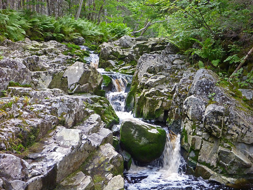
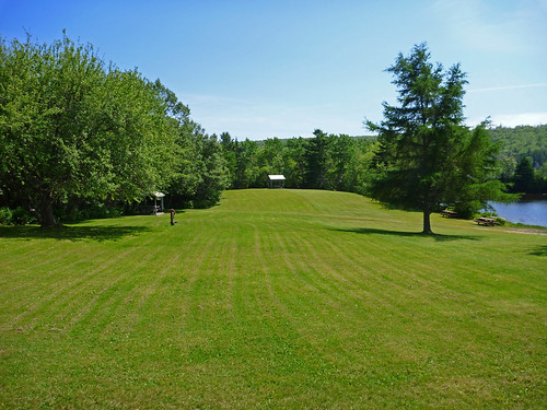
Elevation of Country Hbr Gun Club, NS-, Cross Roads Country Harbour, NS B0H 1J0, Canada
Location: Canada > Nova Scotia > Guysborough County > Guysborough >
Longitude: -61.829270
Latitude: 45.2570745
Elevation: 19m / 62feet
Barometric Pressure: 101KPa
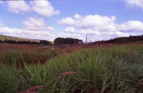
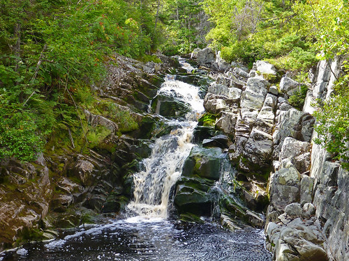
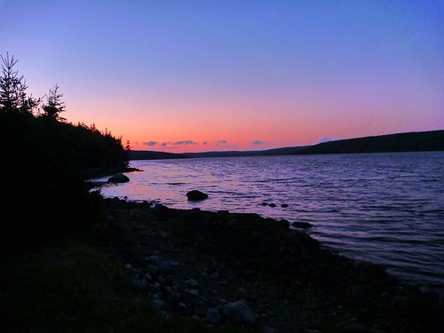
Related Photos:
Topographic Map of Country Hbr Gun Club, NS-, Cross Roads Country Harbour, NS B0H 1J0, Canada
Find elevation by address:

Places near Country Hbr Gun Club, NS-, Cross Roads Country Harbour, NS B0H 1J0, Canada:
Guysborough County
Tom Mann Lake
Forest Hill
Country Harbour
5 Mills Hill Rd, Sherbrooke, NS B0J 3C0, Canada
12 Holland Harbor Rd
308 Holland Harbor Rd
Artinsula Rd, Sherbrooke, NS B0J 3C0, Canada
288 Isaacs Harbour Rd
2 Port Bickerton Village Rd, Sherbrooke, NS B0J 3C0, Canada
42 Macmillan Hill Rd
Goldboro
Fishermans Harbour
Fishermans Harbour Rd, Fishermans Harbour, NS B0J 1M0, Canada
Antigonish Guysborough Rd, Saint Andrews, NS B0H 1X0, Canada
66 Drum Head Rd, Goldboro, NS B0H 1L0, Canada
Seal Harbour
72 Point of the Clear Rd S, Goldboro, NS B0H 1L0, Canada
Seal Harbour Rd, Goldboro, NS B0H 1L0, Canada
1876 Caledonia Marydale Rd
Recent Searches:
- Elevation of Corso Fratelli Cairoli, 35, Macerata MC, Italy
- Elevation of Tallevast Rd, Sarasota, FL, USA
- Elevation of 4th St E, Sonoma, CA, USA
- Elevation of Black Hollow Rd, Pennsdale, PA, USA
- Elevation of Oakland Ave, Williamsport, PA, USA
- Elevation of Pedrógão Grande, Portugal
- Elevation of Klee Dr, Martinsburg, WV, USA
- Elevation of Via Roma, Pieranica CR, Italy
- Elevation of Tavkvetili Mountain, Georgia
- Elevation of Hartfords Bluff Cir, Mt Pleasant, SC, USA
