Elevation of Cotalo, Ecuador
Location: Ecuador > Tungurahua > Pelileo Canton >
Longitude: -78.509288
Latitude: -1.4240225
Elevation: 2626m / 8615feet
Barometric Pressure: 73KPa
Elevation Map:
Satellite Map:
Related Photos:

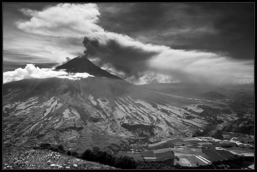
The Summit of the Active and Mighty Stratovolcano 'Tungurahua' ('Throat of Fire' volcano) at 5,023 meters (16,479 feet) above sea level, Baños, the Central Highlands, Ecuador.
La Casa del Árbol at 2,660 meters (8,727 feet) above sea level, Baños, the Central Highlands, Ecuador.

Climbing the Summit of the Active and Mighty Stratovolcano 'Tungurahua' ('Throat of Fire' volcano) at 5,023 meters (16,479 feet) above sea level, Baños, the Central Highlands, Ecuador.

La Casa del Árbol at 2,660 meters (8,727 feet) above sea level, Baños, the Central Highlands, Ecuador.

Climbing the Summit of the Active and Mighty Stratovolcano 'Tungurahua' ('Throat of Fire' volcano) at 5,023 meters (16,479 feet) above sea level, Baños, the Central Highlands, Ecuador.

Climbing the Summit of the Active and Mighty Stratovolcano 'Tungurahua' ('Throat of Fire' volcano) at 5,023 meters (16,479 feet) above sea level, Baños, the Central Highlands, Ecuador.

La Casa del Árbol at 2,660 meters (8,727 feet) above sea level, Baños, the Central Highlands, Ecuador.

Ñato (my private guide), Parque Nacional Sangay at 2,790 meters (9,153 ft) above sea level, (Pondoa) Baños, the Central Highlands, Ecuador.

The Summit of the Active and Mighty Stratovolcano 'Tungurahua' ('Throat of Fire' volcano) at 5,023 meters (16,479 feet) above sea level, Baños, the Central Highlands, Ecuador.

Hacienda Leito View of Cotopaxi

Cascada Chamana - Baños, Ecuador

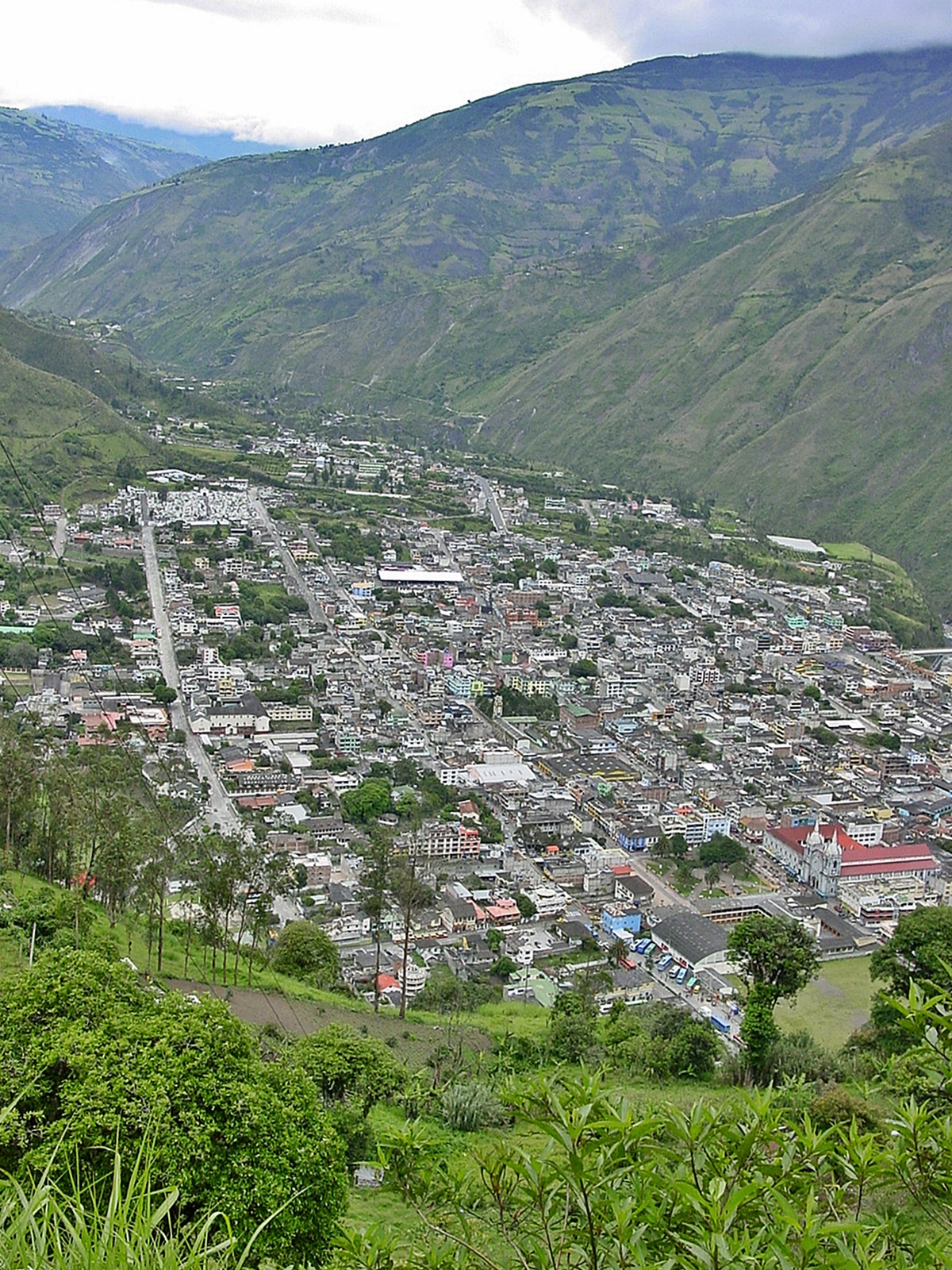
Pelileo, View to Tungurahua

Andes 2

Living on the edge.

Today after leaving baños the TUNGURAHUA volcano offer us this amazing view. #volcano #volcan #andes #eruptions #ecuador #allyouneedisecuador #iphonepic #sneakpeek #vscocam #terrasenses
Ecuador - Banos from Bellavista Cross

Chemin dans la montagne
Tungurahua's Watch

Banos views

Near Baños, Ecuador

View of Banos

Tungurahua volcano phreactic eruption

Cotopaxi Shroud

Clouds Moving in to Hide Cotopaxi

Rio abajo

Banos - Ecuador

Hacienda Leito Panorama

Cascada de Agoyan Baños de Agua Santa Ecuador 01

Varanda no Vale - Tungurahua next door

Volcán Tungurahua I [Tungurahua, Ecuador]

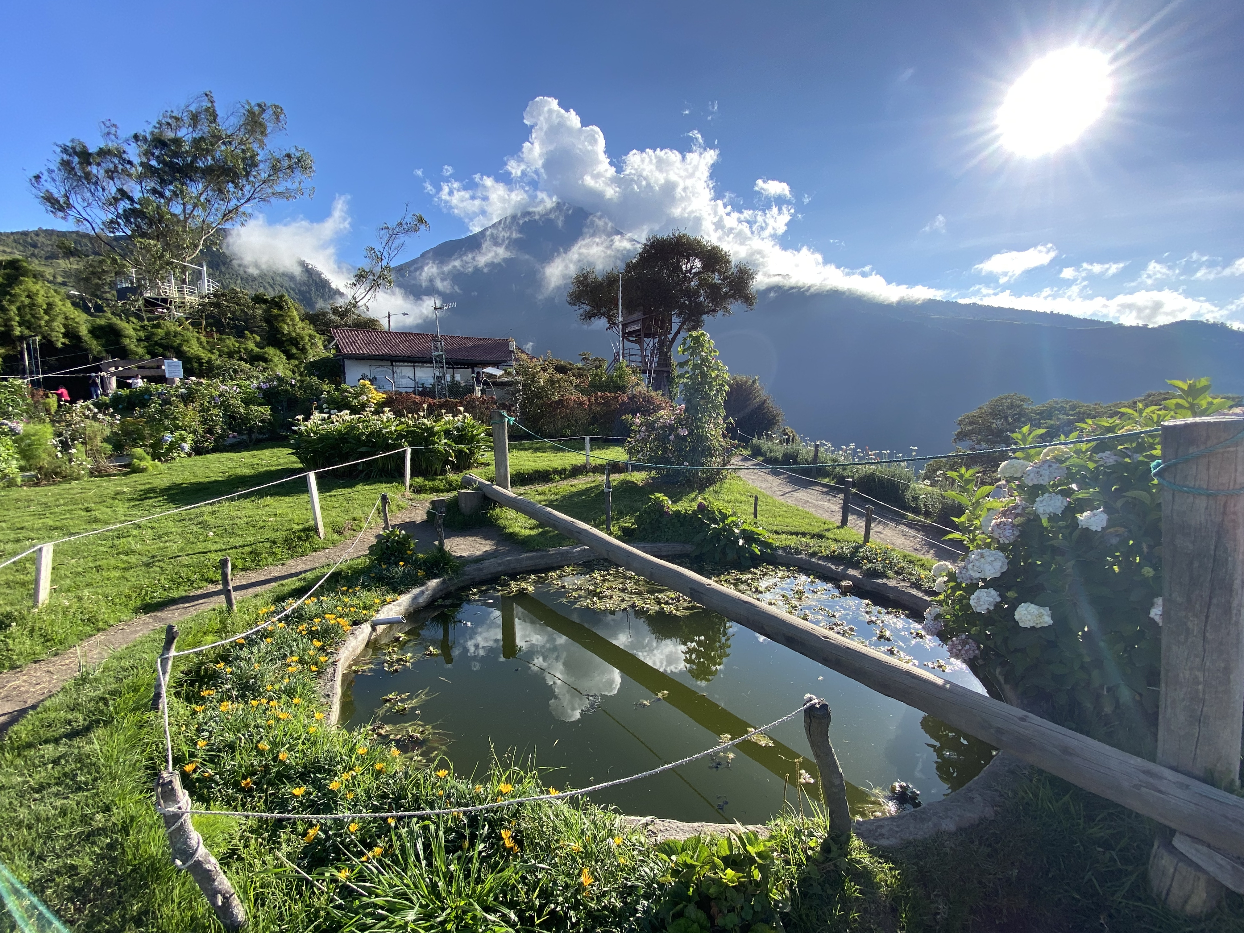
La Casa del Arbol volcán Tungurahua Baños de Agua Santa Ecuador 03

Valley Sunrise
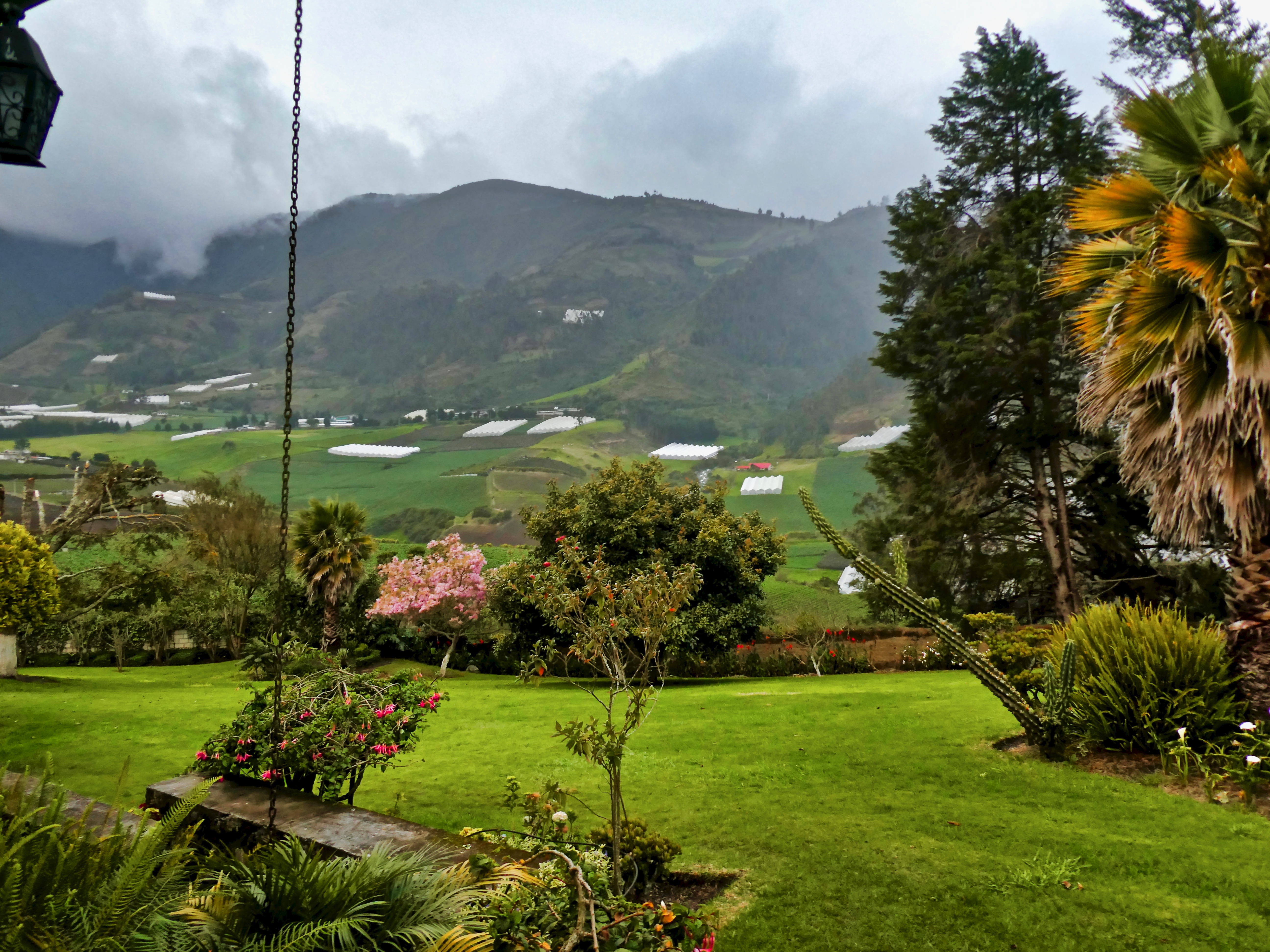
Hacienda Leito

Baños de Agua Santa.
Topographic Map of Cotalo, Ecuador
Find elevation by address:

Places near Cotalo, Ecuador:
Pondoa
Tungurahua
La Casa Del Arbol
Urbina
Riobamba
Natale Torment
Juan De Velasco
Chambo
Calpi
Topo
Pablo Sexto
Pablo Sexto
Guargualla Sangay Lodge
Pastaza Province
Puyo
Ecuador
Banco Pichincha
Inti Sisa
Inti Sisa Art Guesthouse
Guamote
Recent Searches:
- Elevation of Corso Fratelli Cairoli, 35, Macerata MC, Italy
- Elevation of Tallevast Rd, Sarasota, FL, USA
- Elevation of 4th St E, Sonoma, CA, USA
- Elevation of Black Hollow Rd, Pennsdale, PA, USA
- Elevation of Oakland Ave, Williamsport, PA, USA
- Elevation of Pedrógão Grande, Portugal
- Elevation of Klee Dr, Martinsburg, WV, USA
- Elevation of Via Roma, Pieranica CR, Italy
- Elevation of Tavkvetili Mountain, Georgia
- Elevation of Hartfords Bluff Cir, Mt Pleasant, SC, USA