Elevation of Cornland Rd, Chesapeake, VA, USA
Location: United States > Virginia > Chesapeake > Pleasant Grove West >
Longitude: -76.361241
Latitude: 36.6523933
Elevation: 5m / 16feet
Barometric Pressure: 101KPa
Elevation Map:
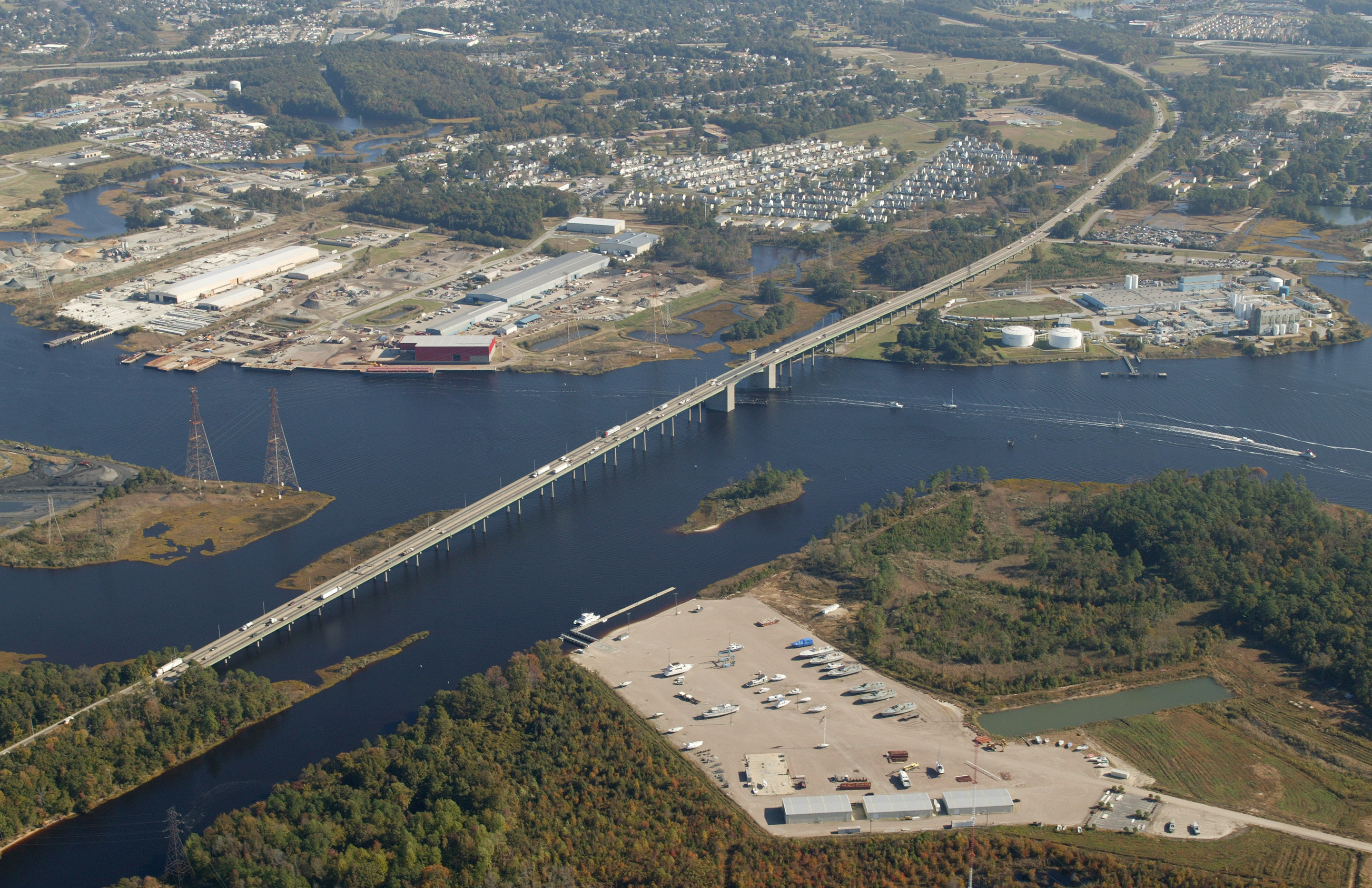
Satellite Map:
Related Photos:

Day 123/365 *Outtake*

2/19/12 10:40:09

365/365
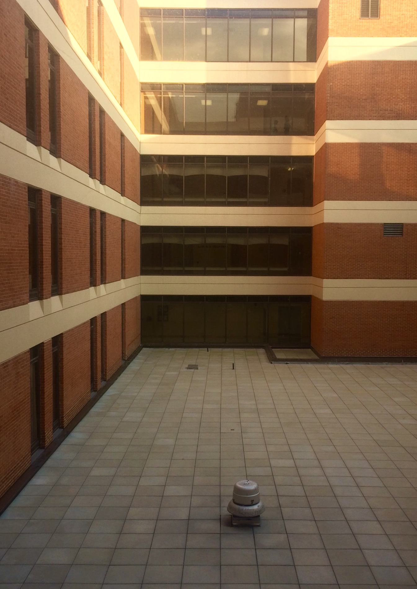
Chesapeake Regional Medical Center
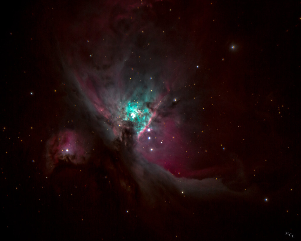
Orion Nebula

Chesapeake Expressway Bridge
Hampton Roads Snowmageddon

Day 75/365 *Outtake*
Altered View.

Day 185/365 *Outtake*

Day 284/365 *Outtake*

298/365

151/365

Action Graphics Store Front 2009

Day 242/365 *Outtake*

Day 273/365 *Outtake*

Day 331/365 *Outtake*

View from Deep Creek Bridge

Day 261/365 *Outtake*

Day 338/365 *Outtake*

Day 259/365 *Outtake*
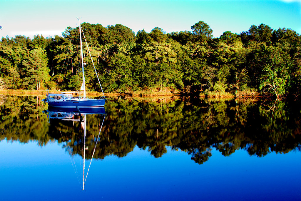
Reflections of sailing
Antique Sunset.
Day 3 of the trip 052

Northern Water Snake, I think

Industrial Nature
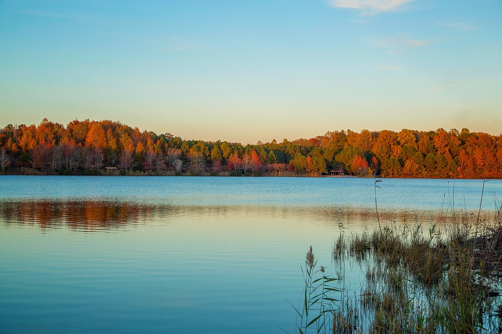
Oak Grove Lake

Old barn

Virginia Skies

Moon Setting

9/11/14 06:34 AM

Sunset over the Intercoastal Waterway. You can ride it all the way to FL!
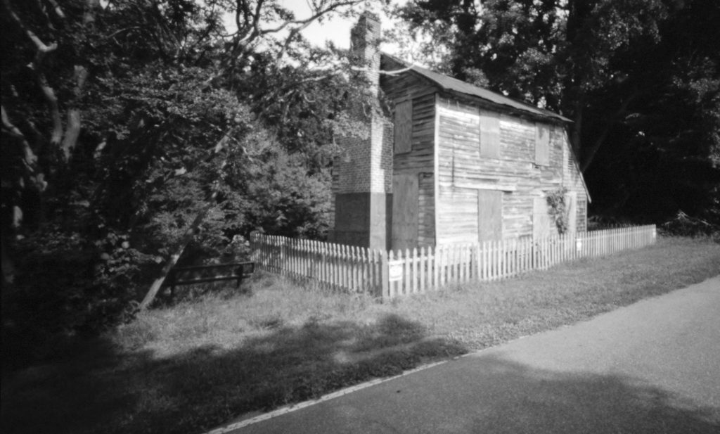
Abandoned House on the Dismal Swamp Canal Trail
I spy green grass here in NC!! #signsofspringinnc #greengrass

2/7/13 06:56 AM

25/365
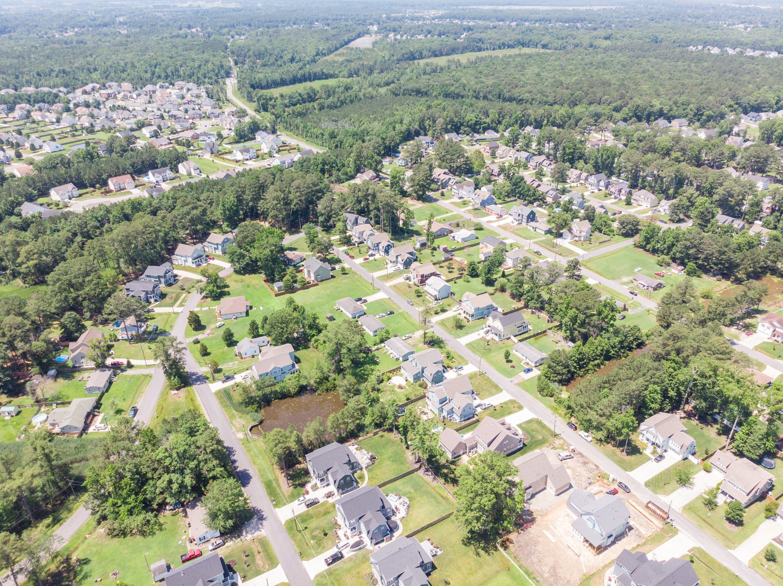
HRStock Drone (192 of 776)

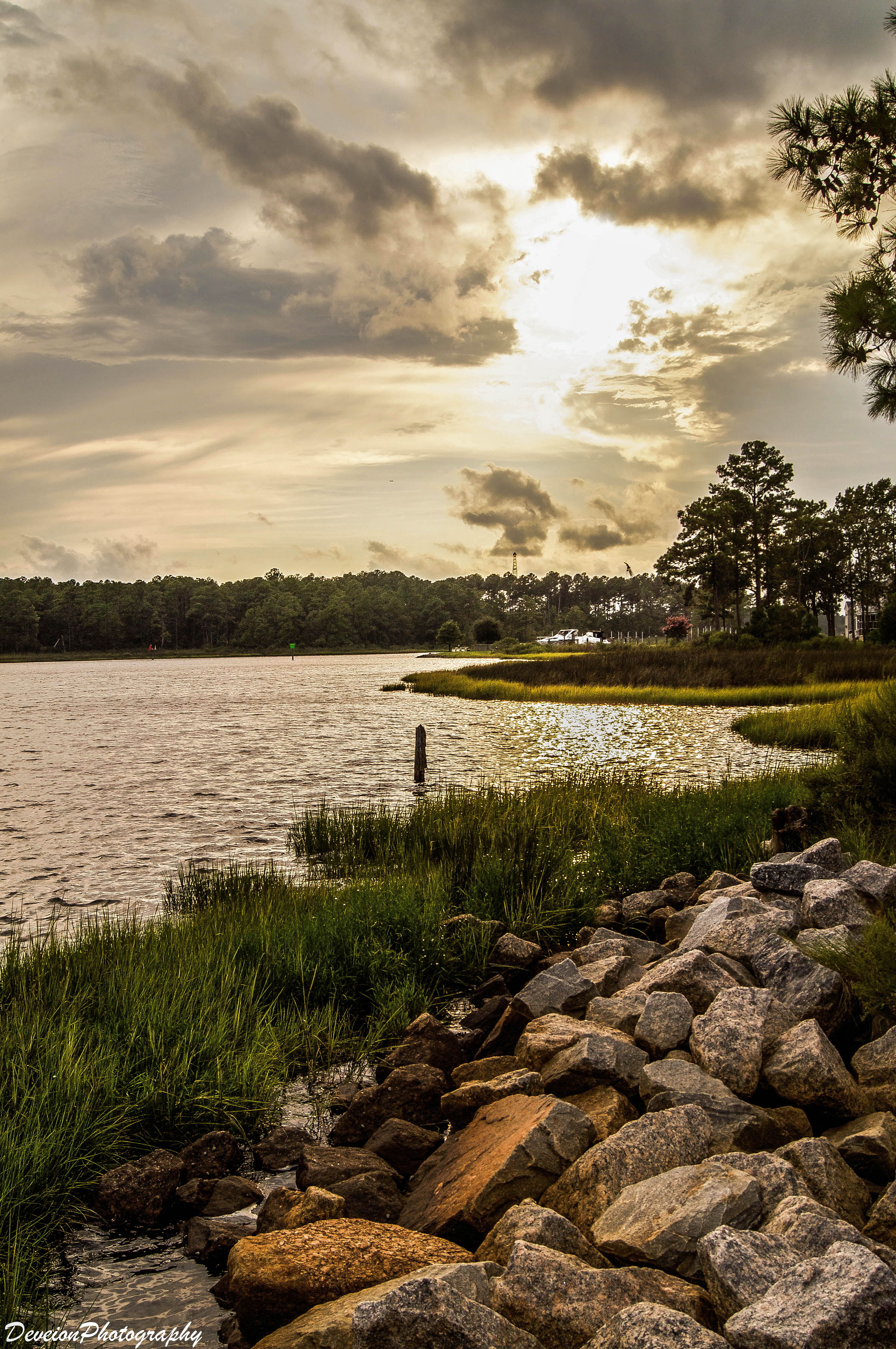
Glassy Canal
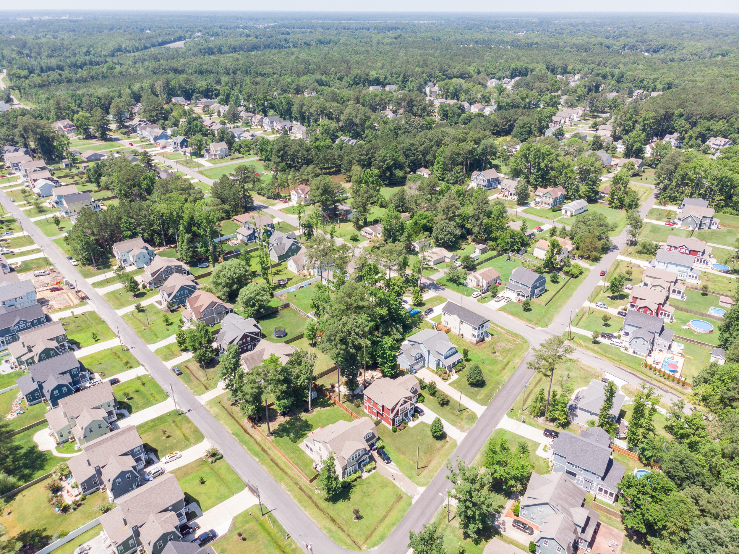
HRStock Drone (187 of 776)

From iPhone

Dusky Dawn
I-64, High Rise Bridge
Topographic Map of Cornland Rd, Chesapeake, VA, USA
Find elevation by address:

Places near Cornland Rd, Chesapeake, VA, USA:
3954 Cornland Rd
1080 Sentry Dr
1206 Gillette Ct
1937 Shillelagh Rd
2155 Cedar Rd
615 Vero Street
Culpepper Landing
3205 Dunmore Dr
2720 Millhouse Ln
2807 Bedstone Cir
313 Sawmill Arch
3800 Weiss Ln
Pleasant Grove West
3204 Holly Ridge Ct
2123 Brennhaven Trail
1997 Horseback Run
2161 Millville Rd
2604 Twin Cedar Trail
Deep Creek South
407 Elliston Way
Recent Searches:
- Elevation of Corso Fratelli Cairoli, 35, Macerata MC, Italy
- Elevation of Tallevast Rd, Sarasota, FL, USA
- Elevation of 4th St E, Sonoma, CA, USA
- Elevation of Black Hollow Rd, Pennsdale, PA, USA
- Elevation of Oakland Ave, Williamsport, PA, USA
- Elevation of Pedrógão Grande, Portugal
- Elevation of Klee Dr, Martinsburg, WV, USA
- Elevation of Via Roma, Pieranica CR, Italy
- Elevation of Tavkvetili Mountain, Georgia
- Elevation of Hartfords Bluff Cir, Mt Pleasant, SC, USA