Elevation of Cornice Peak, Central Coast A, BC V0T, Canada
Location: Canada > British Columbia > Central Coast > Central Coast A >
Longitude: -127.21916
Latitude: 52.9661111
Elevation: 2080m / 6824feet
Barometric Pressure: 79KPa
Elevation Map:
Satellite Map:
Related Photos:
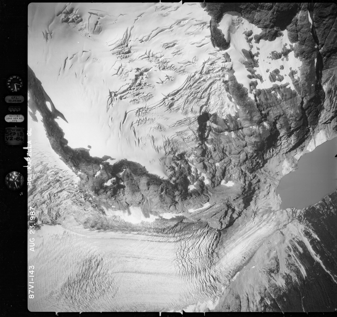
NAGAP_87V1_143_TN
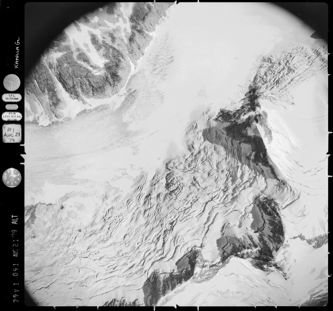
NAGAP_79V1_091_TN
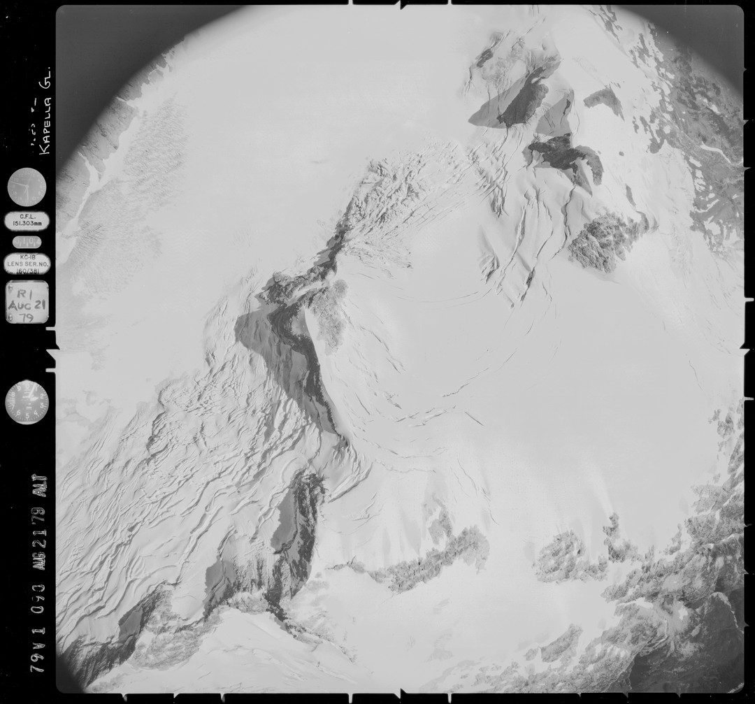
NAGAP_79V1_090_TN
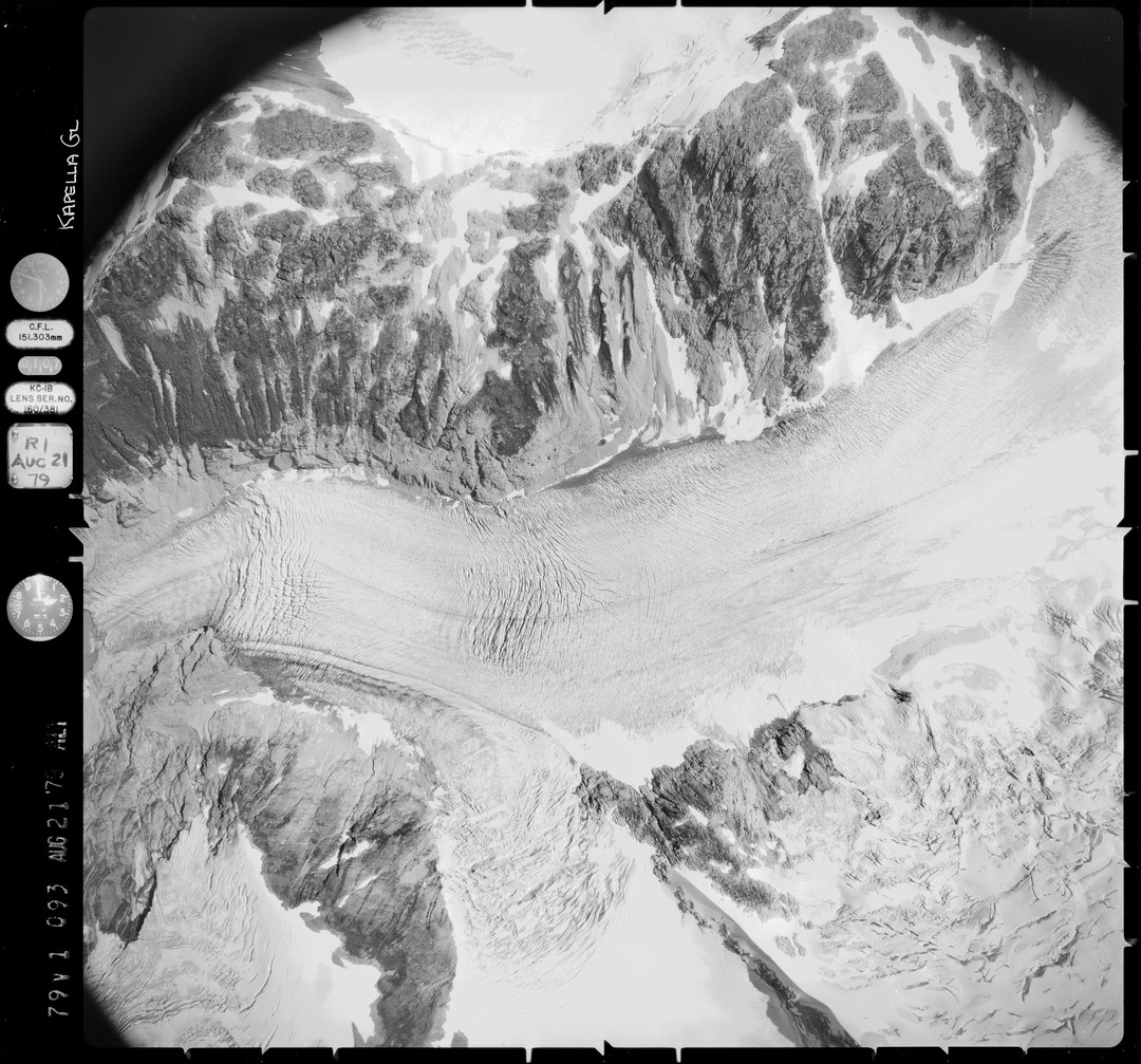
NAGAP_79V1_093_TN
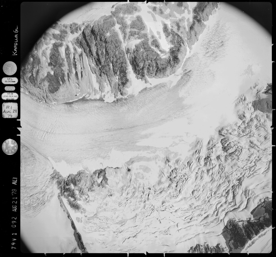
NAGAP_79V1_092_TN
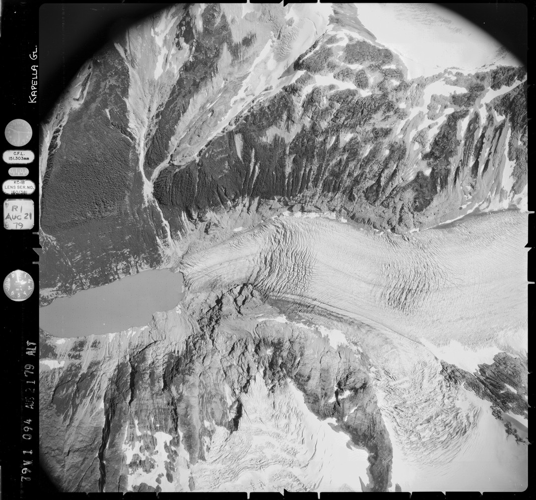
NAGAP_79V1_094_TN
Topographic Map of Cornice Peak, Central Coast A, BC V0T, Canada
Find elevation by address:

Places near Cornice Peak, Central Coast A, BC V0T, Canada:
Shark's Teeth Peaks
Asteroid Peak
Salient Mountain
Smaby Peak
Gable Mountain
Tezwa Peak
Kitlope Peak
Mount Irma
Mount Saunders
Tsaydaychuz Peak
Mount Bernhardt
Central Coast E
Kalone Peak
Bella Coola
Big Snow Mountain
Kwatna Peak
Desire Mountain
Recent Searches:
- Elevation of Corso Fratelli Cairoli, 35, Macerata MC, Italy
- Elevation of Tallevast Rd, Sarasota, FL, USA
- Elevation of 4th St E, Sonoma, CA, USA
- Elevation of Black Hollow Rd, Pennsdale, PA, USA
- Elevation of Oakland Ave, Williamsport, PA, USA
- Elevation of Pedrógão Grande, Portugal
- Elevation of Klee Dr, Martinsburg, WV, USA
- Elevation of Via Roma, Pieranica CR, Italy
- Elevation of Tavkvetili Mountain, Georgia
- Elevation of Hartfords Bluff Cir, Mt Pleasant, SC, USA