Elevation of Cornel Ln, Hampstead, NC, USA
Location: United States > North Carolina > Pender County > Topsail > Hampstead >
Longitude: -77.613975
Latitude: 34.4475004
Elevation: 12m / 39feet
Barometric Pressure: 101KPa
Elevation Map:
Satellite Map:
Related Photos:
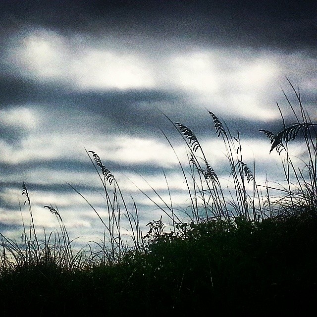
Morning clouds. #AlreadyGone

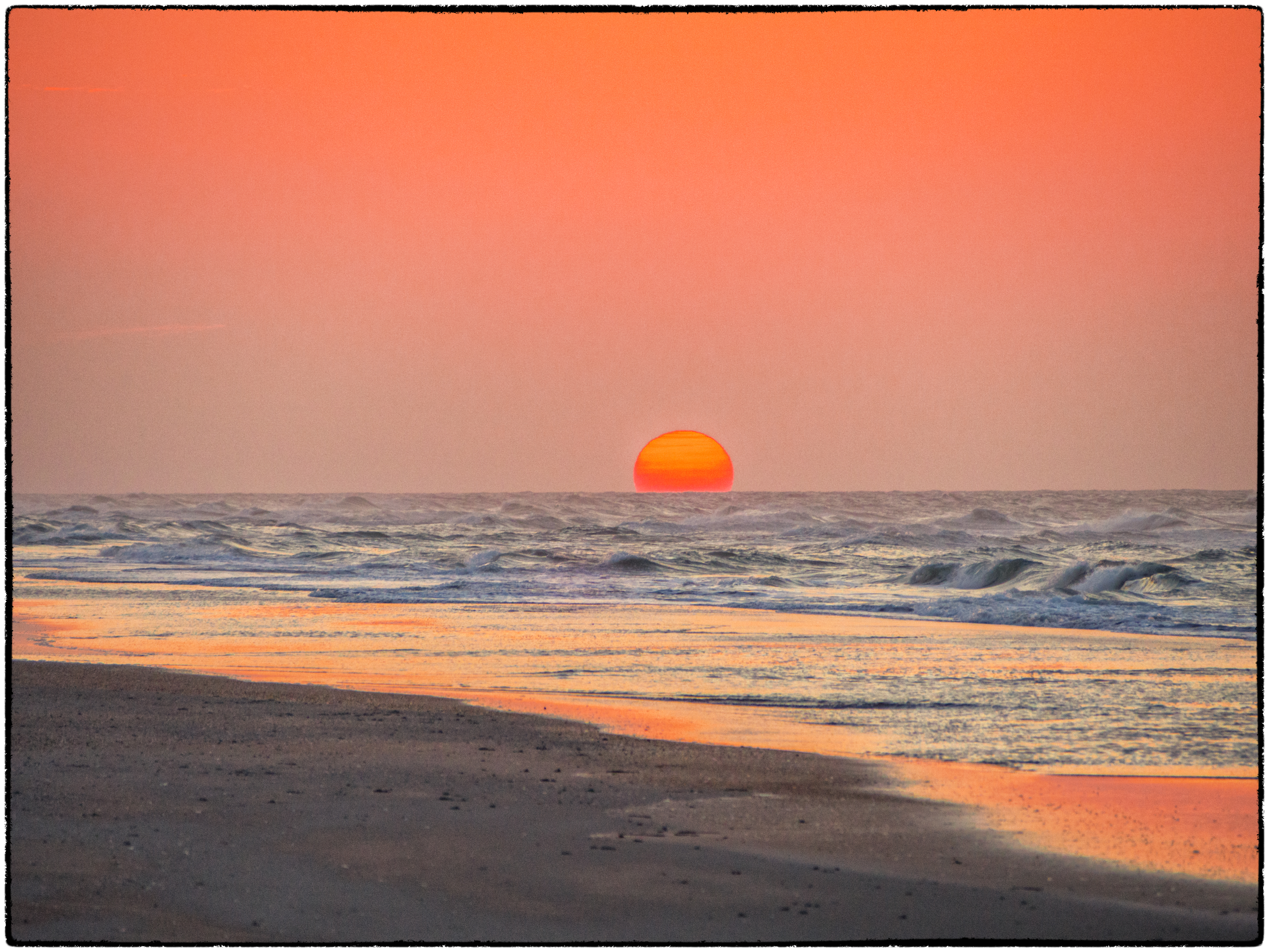
Salt Marsh Sunset

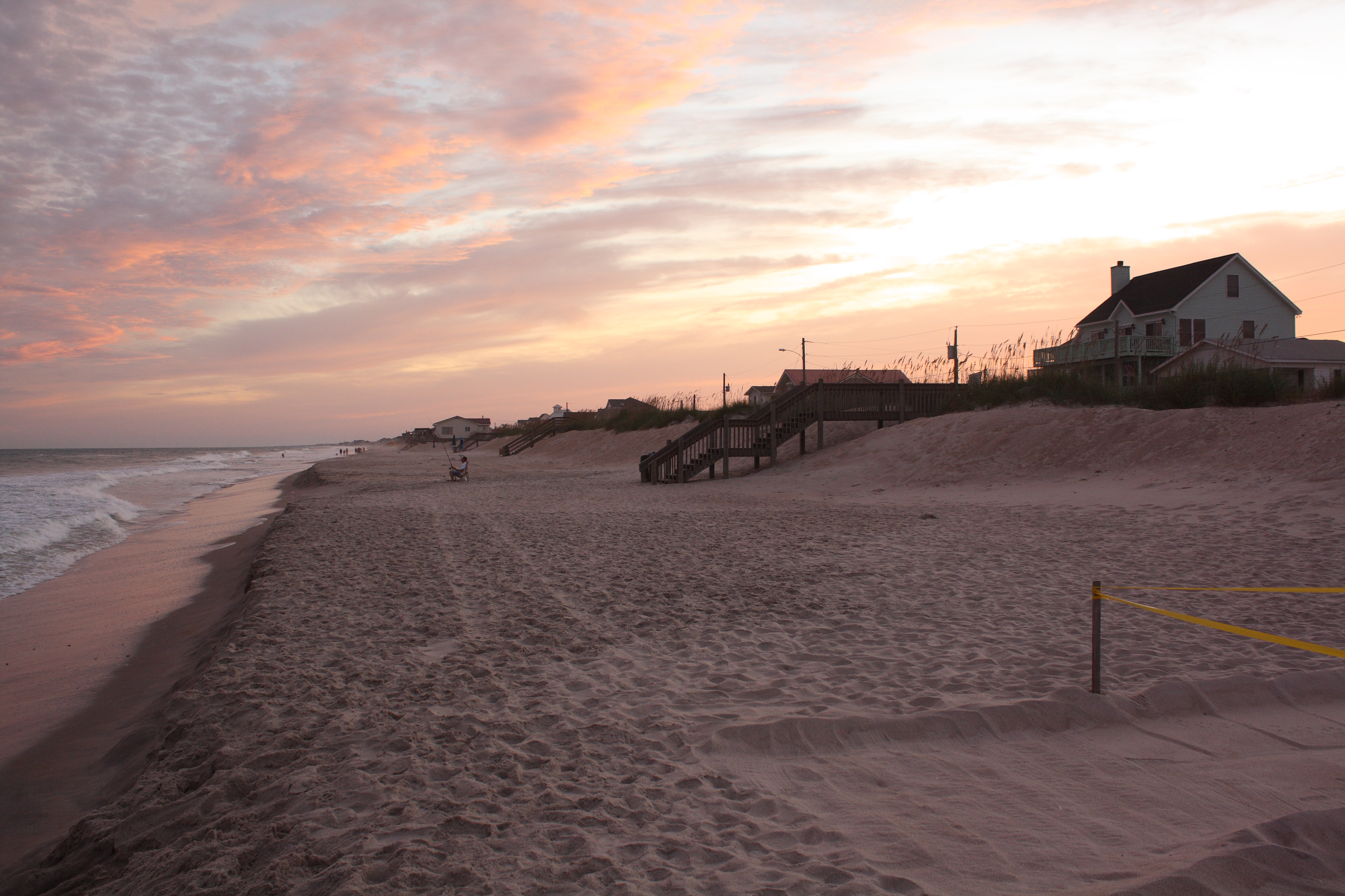
Sunrise at the Beach
Topsail Island, NC - Love this place!
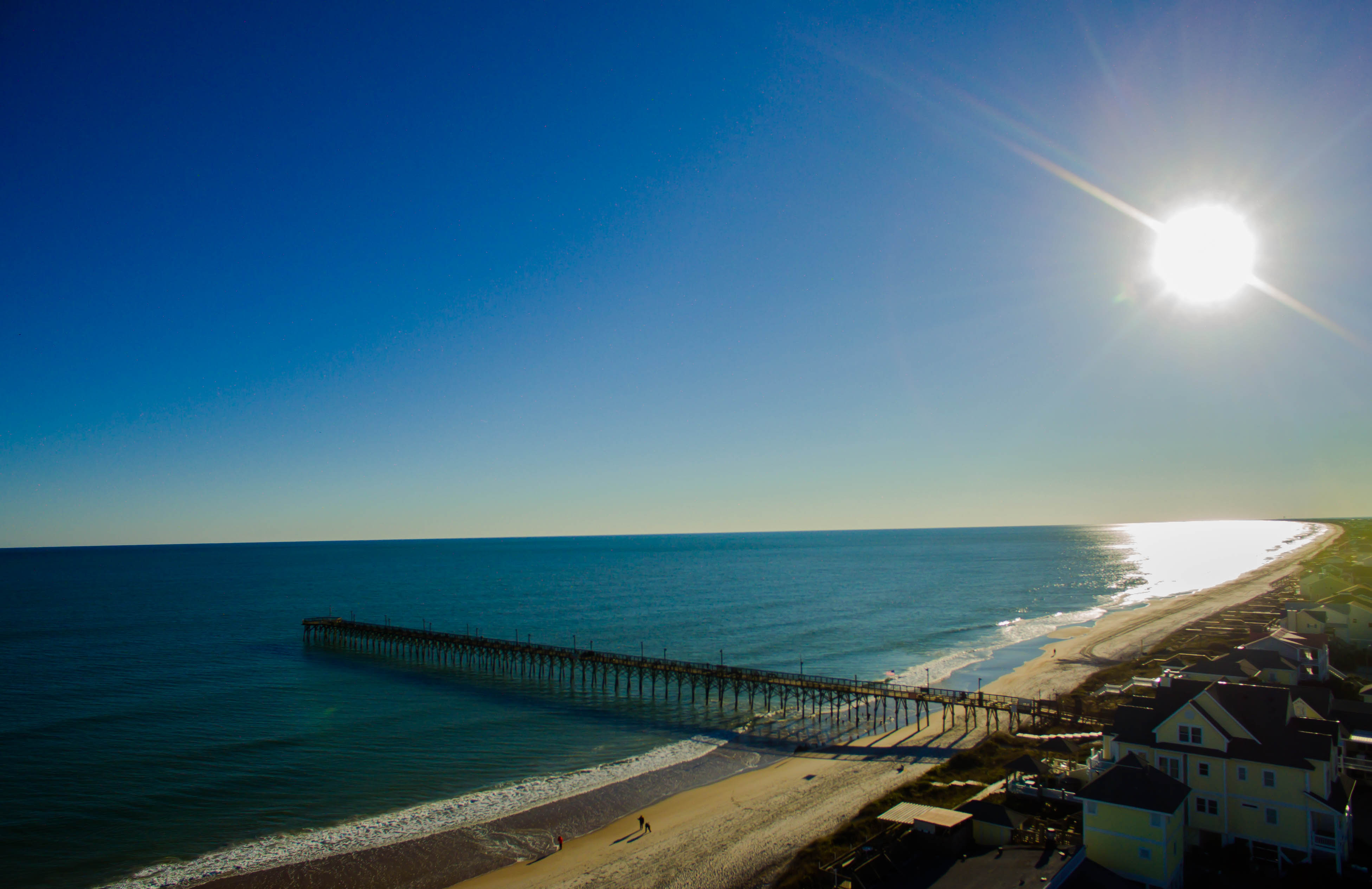
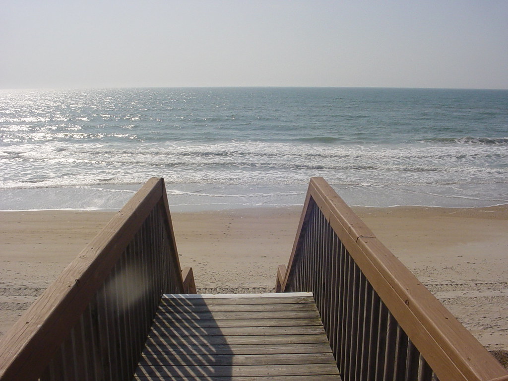
Surf City Pier
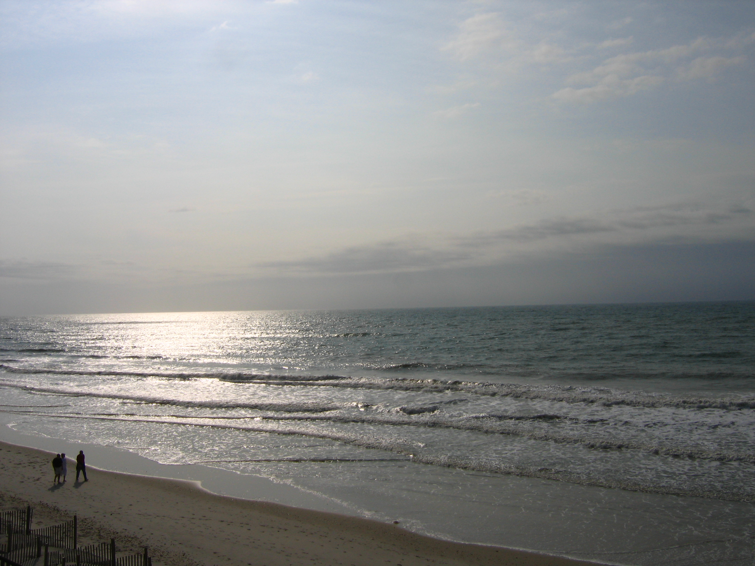
Beach in the Morning

The last one of the trip.

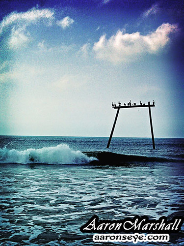
An Omen Over Topsail Beach
DSC02628retro w

Jackie's Sand Castle

Kohen (20)

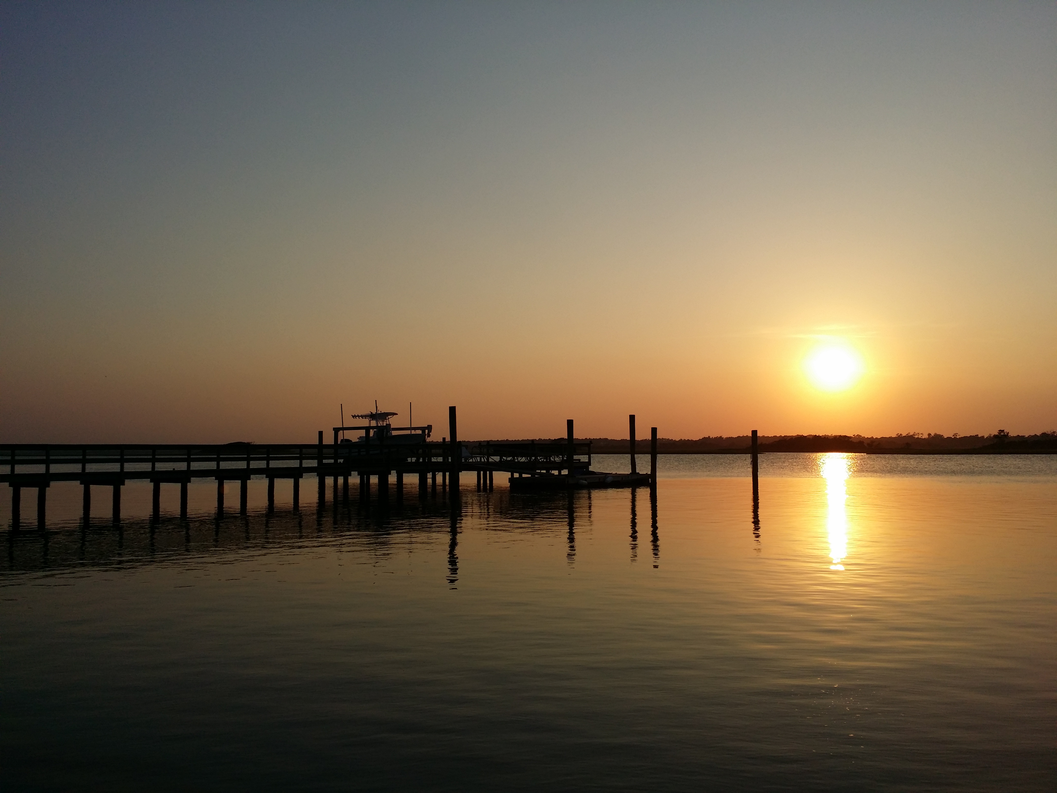
Intracoastal Sunset
Sunset Beach House

A beacon of hope... a Thanksgiving message for my contacts
DSC03532.JPG

Surf City, North Carolina
pier at sunset

Places I Had Rather Be

Samantha (24)

Wanna See My Puffer?
DSC02647tweak_filtered w
Topographic Map of Cornel Ln, Hampstead, NC, USA
Find elevation by address:

Places near Cornel Ln, Hampstead, NC, USA:
114 Bunchberry Ct
489 Groves Point Dr
Roughleaf Trail
Groves Point Drive
118 Roughleaf Trail
105 N Burning Tree Dr
544 Groves Point Dr
204 E Daffy Ln
546 Groves Point Dr
547 Groves Point Dr
207 Flycatcher Ct
550 Groves Point Dr
97 Tidal Creek Ct
Royal Tern Drive
428 Royal Tern Dr
102 Osprey Nest Ln
211 Whimbrel Way
211 Whimbrel Way
211 Whimbrel Way
211 Whimbrel Way
Recent Searches:
- Elevation of Corso Fratelli Cairoli, 35, Macerata MC, Italy
- Elevation of Tallevast Rd, Sarasota, FL, USA
- Elevation of 4th St E, Sonoma, CA, USA
- Elevation of Black Hollow Rd, Pennsdale, PA, USA
- Elevation of Oakland Ave, Williamsport, PA, USA
- Elevation of Pedrógão Grande, Portugal
- Elevation of Klee Dr, Martinsburg, WV, USA
- Elevation of Via Roma, Pieranica CR, Italy
- Elevation of Tavkvetili Mountain, Georgia
- Elevation of Hartfords Bluff Cir, Mt Pleasant, SC, USA