Elevation of Cooper Hill, Wyoming, USA
Location: United States > Wyoming > Rock River >
Longitude: -106.13834
Latitude: 41.4908026
Elevation: 2776m / 9108feet
Barometric Pressure: 72KPa
Elevation Map:
Satellite Map:
Related Photos:
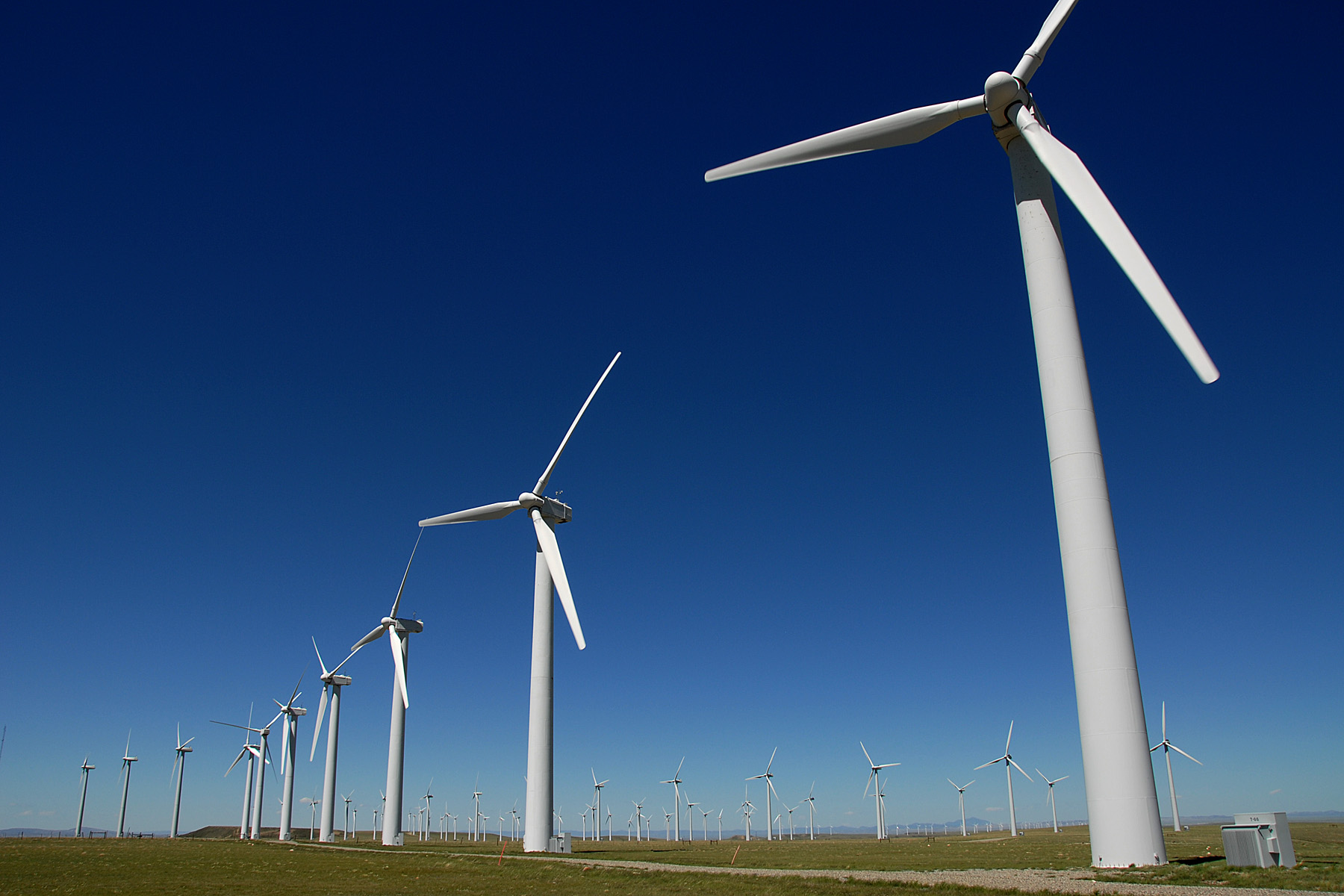
A View of the turbines

Somewhere, WY
wyoming wind farm
Trailhead Snowy Range
2007 drive to CA with Annie (143)

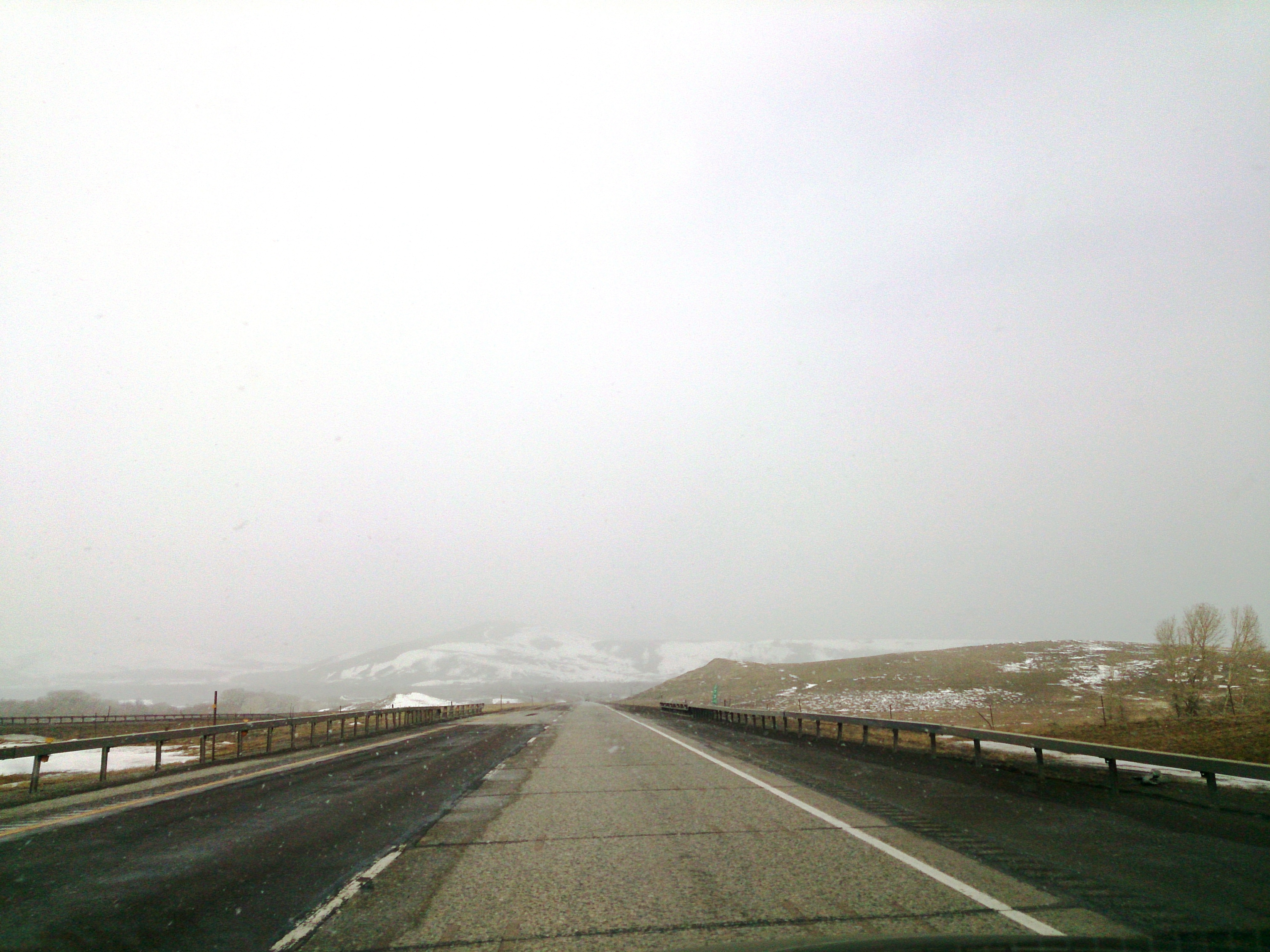
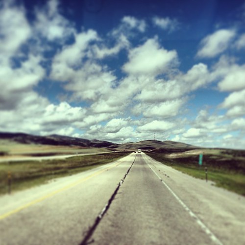
Near Arlington, Wyoming

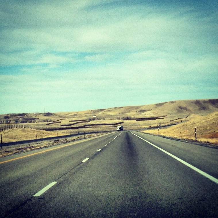
Near Arlington, Wyoming

Near Arlington, Wyoming
Gene'sFamily2
the Grave of Clement S. (Benny) Bengough
the Barn at Rock Creek
Riders on the #Storm, into this house we're born, into this world we're thrown
road trip 2014
#snowing like HELL son ! #wyoming #ElkMountain #OceRoadTrucker
made it to Laramie #Wyoming
Untitled photo

2012-11-23 11.31.54

2012-11-23 11.22.02
471707341359675410_3375806920130806-3361-sjnpns

Road Trip 201206080019

RoadTrip 201207290023
2012-11-23 11.22.02

2012-11-23 11.31.54

CO to WA Roadtrip: Wyoming Sunset

CO to WA Roadtrip: Wyoming Sunset
Topographic Map of Cooper Hill, Wyoming, USA
Find elevation by address:

Places near Cooper Hill, Wyoming, USA:
Deer Mountain
Rock Mountain
Arlington
St. Alban's Open Air Chapel
Snowy Mountain Lodge
129 E North Fork Rd
Browns Peak
Centennial
Mountain View Historic Hotel & Cafe
2758 Wy-130
Sugarloaf Campground
Sugarloaf Mountain
Libby Flats
Centennial Ridge
Vee Bar Ranch Road
Snowy Range
Sheep Mountain North
Spruce Mtn Fire Lookout Tower (recgovnpsdata)
Spruce Mountain
Rock River
Recent Searches:
- Elevation of Corso Fratelli Cairoli, 35, Macerata MC, Italy
- Elevation of Tallevast Rd, Sarasota, FL, USA
- Elevation of 4th St E, Sonoma, CA, USA
- Elevation of Black Hollow Rd, Pennsdale, PA, USA
- Elevation of Oakland Ave, Williamsport, PA, USA
- Elevation of Pedrógão Grande, Portugal
- Elevation of Klee Dr, Martinsburg, WV, USA
- Elevation of Via Roma, Pieranica CR, Italy
- Elevation of Tavkvetili Mountain, Georgia
- Elevation of Hartfords Bluff Cir, Mt Pleasant, SC, USA