Elevation of Cooke County, TX, USA
Location: United States > Texas >
Longitude: -97.351655
Latitude: 33.6672185
Elevation: 319m / 1047feet
Barometric Pressure: 98KPa
Elevation Map:
Satellite Map:
Related Photos:

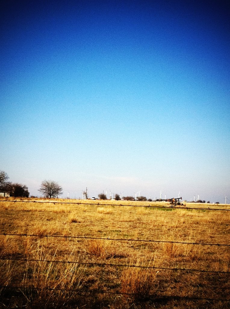
The Blue Shed - La Casucha Azul

A Lonely View of Heaven

13-N89FA-8 - Copy

Autumn Sonata - Sonata Otoñal

Copper-White Pinto
A New Breed Takes Over the Dying Breed

Turtle Hill

.Dehydrated.Oxidized.Dying.

Golden Lockes Look to the West, Dancing Lazily for the Setting Sun.
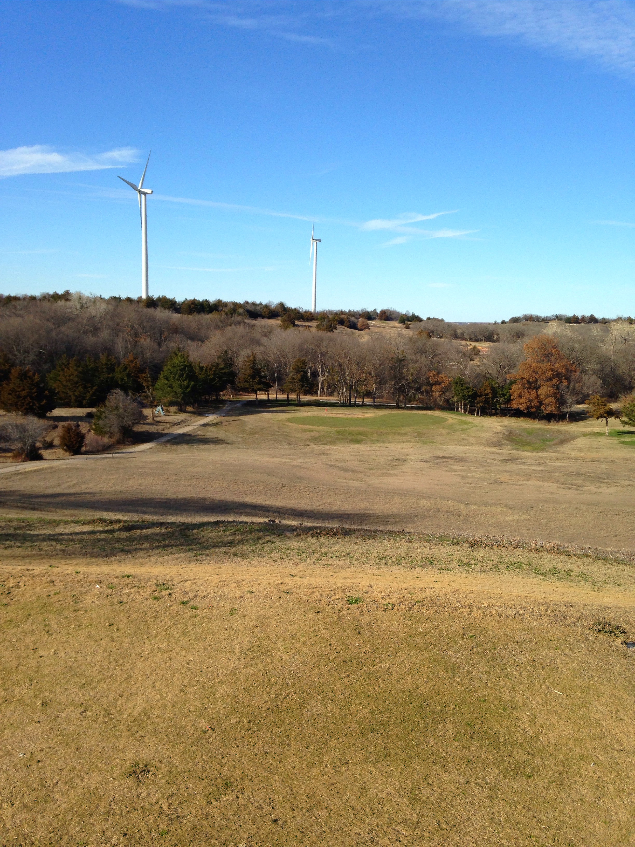
Turtle Hill
Topographic Map of Cooke County, TX, USA
Find elevation by address:

Places in Cooke County, TX, USA:
Valley View
Gainesville
Co Rd, Gainesville, TX, USA
Blackfoot Trail, Lake Kiowa, TX, USA
Main St, Lindsay, TX, USA
Lake Kiowa
Callisburg
Era
Muenster
Places near Cooke County, TX, USA:
Muenster
Main St, Lindsay, TX, USA
Saint Jo
Era
202 Fairfield St
Gainesville
St Onge Properties
St Onge Properties
2888 Fm3206
2888 Fm3206
2888 Fm3206
2888 Fm3206
2888 Fm3206
2888 Fm3206
Dufurrena Cutting Horses
Forestburg
Co Rd, Valley View, TX, USA
Valley View
Krahl Road
9426 Chisum Rd
Recent Searches:
- Elevation of Corso Fratelli Cairoli, 35, Macerata MC, Italy
- Elevation of Tallevast Rd, Sarasota, FL, USA
- Elevation of 4th St E, Sonoma, CA, USA
- Elevation of Black Hollow Rd, Pennsdale, PA, USA
- Elevation of Oakland Ave, Williamsport, PA, USA
- Elevation of Pedrógão Grande, Portugal
- Elevation of Klee Dr, Martinsburg, WV, USA
- Elevation of Via Roma, Pieranica CR, Italy
- Elevation of Tavkvetili Mountain, Georgia
- Elevation of Hartfords Bluff Cir, Mt Pleasant, SC, USA