Elevation of Colvin St, Gold Beach, OR, USA
Location: United States > Oregon > Curry County > Gold Beach >

Longitude: -124.41723

Latitude: 42.4191941

Elevation: 13m / 43feet

Barometric Pressure: 101KPa

Elevation Map:

elevation map of Colvin St, Gold Beach, OR, USA
Satellite Map:

Satellite map of Colvin St, Gold Beach, OR, USA
Related Photos:

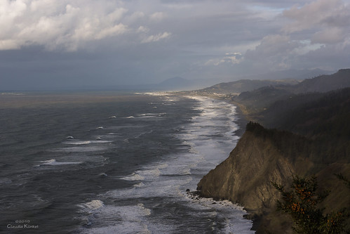
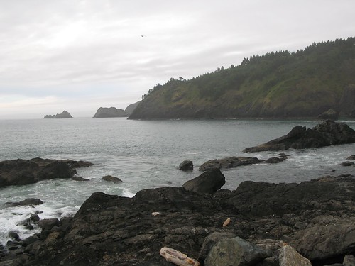
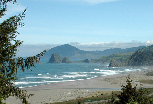
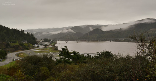
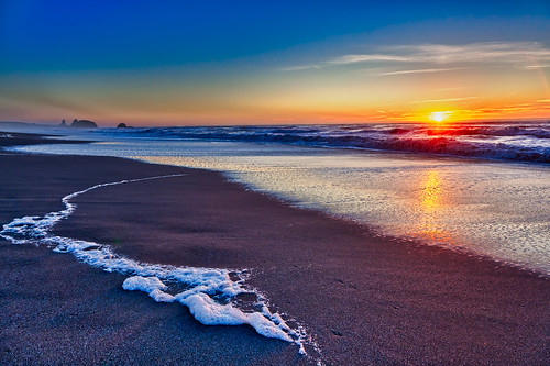
clouds oregon coast view pacificocean shore goldbeach capesebastian
Gold Beach, Oregon
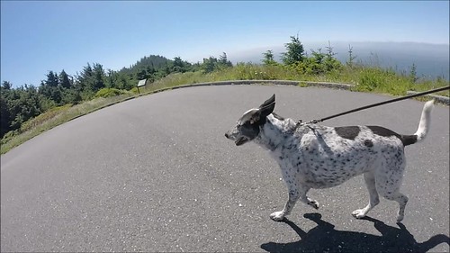
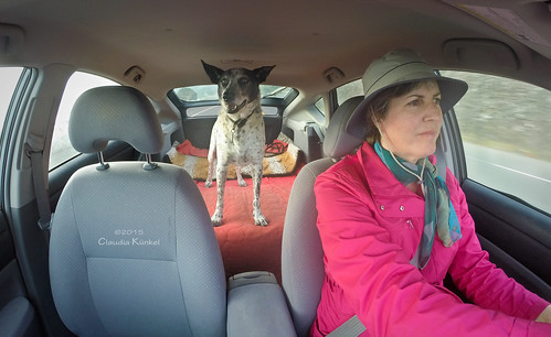
capesebastian oregoncoasttrail hike blanca bordercolliemix dog pacificocean meyersbeach gopro hero3silveredition oregoncoast hunterscove sitkaspruce views
follow Blanca on Cape Sebastian
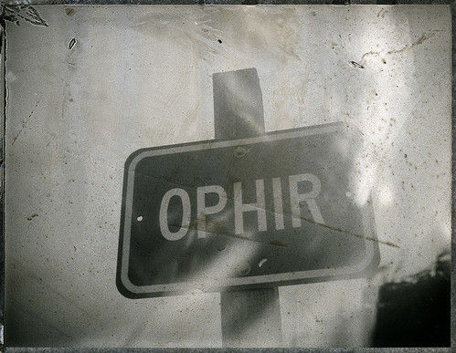
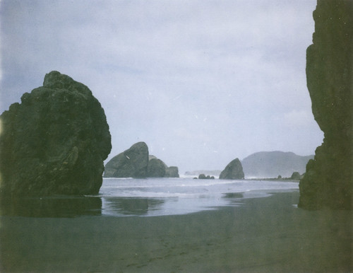
fp3000b landcamera320 reclaimednegative
Ophir Oregon
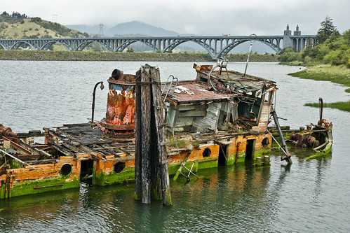
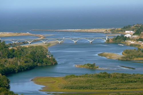
oregon coast southern highway101 rogueriver goldbeach marydhume currycounty
The Mary D. Hume -- DSC00115
oregon fishing or portorford goldbeach fivestarchateres
Port Orford Oregon
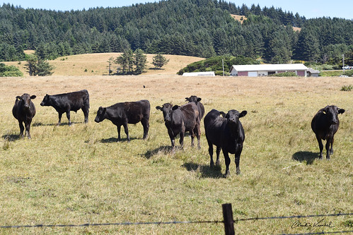
oregon pasture coast herd blackcows
curious about my intentions
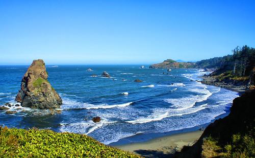
Day 3 - Rocks in Sea from Route 101 North
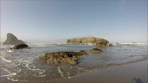
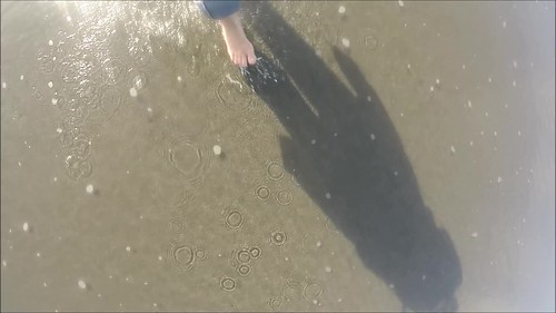
dog beach oregon walking coast blanca barefoot lowtide seastacks bordercolliemix meyersbeach lowpov gopro hero3silver
follow Blanca on Meyers Beach - six
ocean film beach oregon polaroid coast sand rocks pacific stacks automatic250 125i
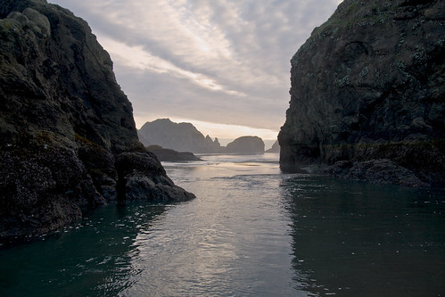
between the rocks
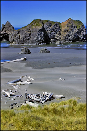
ocean beach oregon gold coast niceshot pacific northwest or blinkagain
More Gold
dog oregon walking blanca barefoot bordercolliemix meyersbeach gopro hero3silver
follow Blanca on Meyers Beach - five (Morning Dance)
ocean park seascape oregon river coast state pacific pistol 200901230054
Between the Rocks
dog oregon silver blanca bordercolliemix gopro hero3
22:52 riding the chariot
s parcel2 bridgeviewestates
35 Road through lower part of parcel 2
nw parcel2 bridgeviewestates
132 View form Parcel 2
currycounty coastalviews goldbeachrealestate oregonproperties karlnettgen
Gold Beach Real Estate | 95241 Starkweather
statepark park panorama oregon coast shore ophir fz50 panasoniclumixfz50 ophirstatepark
Ophir - North View
Bridge View Estates Panorama 2
nne parcel3 bridgeviewestates
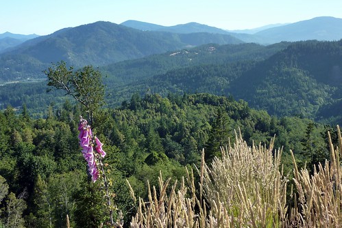
53 View of Mountains
statepark park oregon coast shore ophir ophirstatepark
Ophir - North View
Bridge View Estates Panorama 3
oregon meyersbeach sunset caverock rock beach coast lowtide
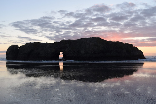
doorway to the other side
Otter Point, OR
oregon beach sunset meyersbeach horse rider lowtide
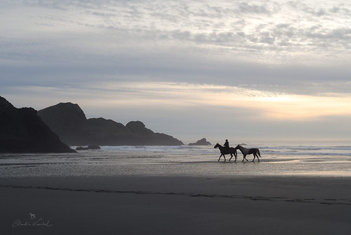
on the edge of the world
A95I0280-1
bridge cloud storm rain oregon rogueriver goldbeach floodstage
mouth of Rogue River, Oregon
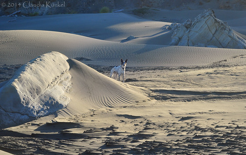
dog beach oregon sand blanca bordercolliemix myersbeach
wind-sculpted beach
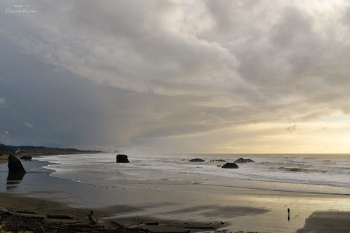
sunset beach clouds oregon coast highway101 meyersbeach
Christmas Eve on the Oregon coast
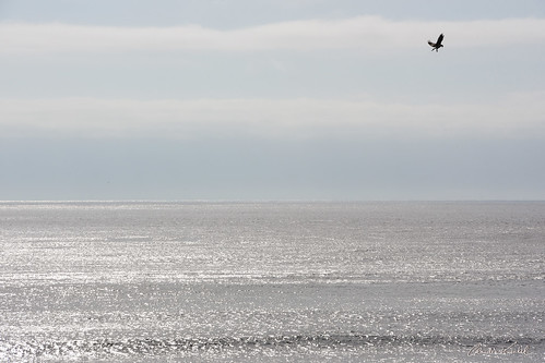
oregon pacificocean osprey flight
the artist
18rvtriponthecoast goldbeach oregon unitedstates us
180331untitled-87456.6 ft
sunset oregon highway1 pacificocean 101roadtrip goldbeach loveyourmother nodepositnoreturn or97444
Before the breathing air is gone....
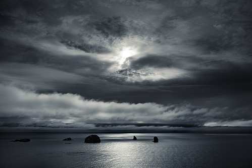
ocean longexposure sunset beach clouds oregon reflections landscape rocks unitedstates bandon goldbeach
Standing in the Darkness
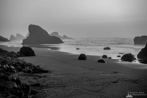
pacificnorthwest landscape us101 nature water northwest originalphotographers blackandwhitephotography naturephotography oregon photooftheday beach ocean seastacks myerscreekbeach landscapephotography photography blackandwhite outdoors outdoorphotography usa coast unitedstates northamerica goldbeach us
Myers Creek Beach, Oregon, 2017
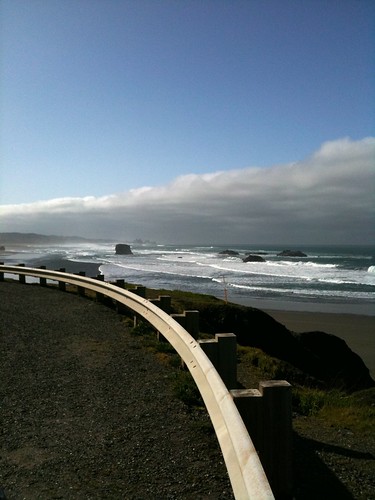
Looking south from this stop
shadow nature water clouds river landscape outside sand waves naturallight 2009 thebigpicture sigma1020mm pistolriver 365days brighteyeslyrics nikond40
So you can struggle in the water and be too stubborn to die, or you could just let go and be lifted to the sky.
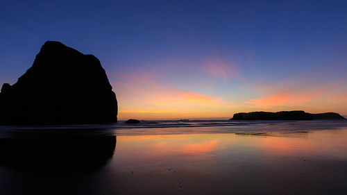
ocean sunset beach oregon coast pacific pacificnorthwest myerscreek
Rock and Gold Sky
beach oregon gold coast niceshot pacific northwest or clear
I could stay all day
oregon hwy101 pacificcoast goldbeach
110611_72_Move to Texas - Oregon Coast Hwy 101
landscape coast sony
ocean waves on rocks
oregon wildfiresmoke pacificocean klondikefire taylorcreekfire goldbeach coast evening
silent awe
ocean landscape coast sony
ocean waves