Elevation of Columbia Rd, Hagerstown, MD, USA
Location: United States > Maryland > Washington County > 21, Hagerstown > Hagerstown >
Longitude: -77.72189
Latitude: 39.665396
Elevation: 187m / 614feet
Barometric Pressure: 99KPa
Elevation Map:
Satellite Map:
Related Photos:

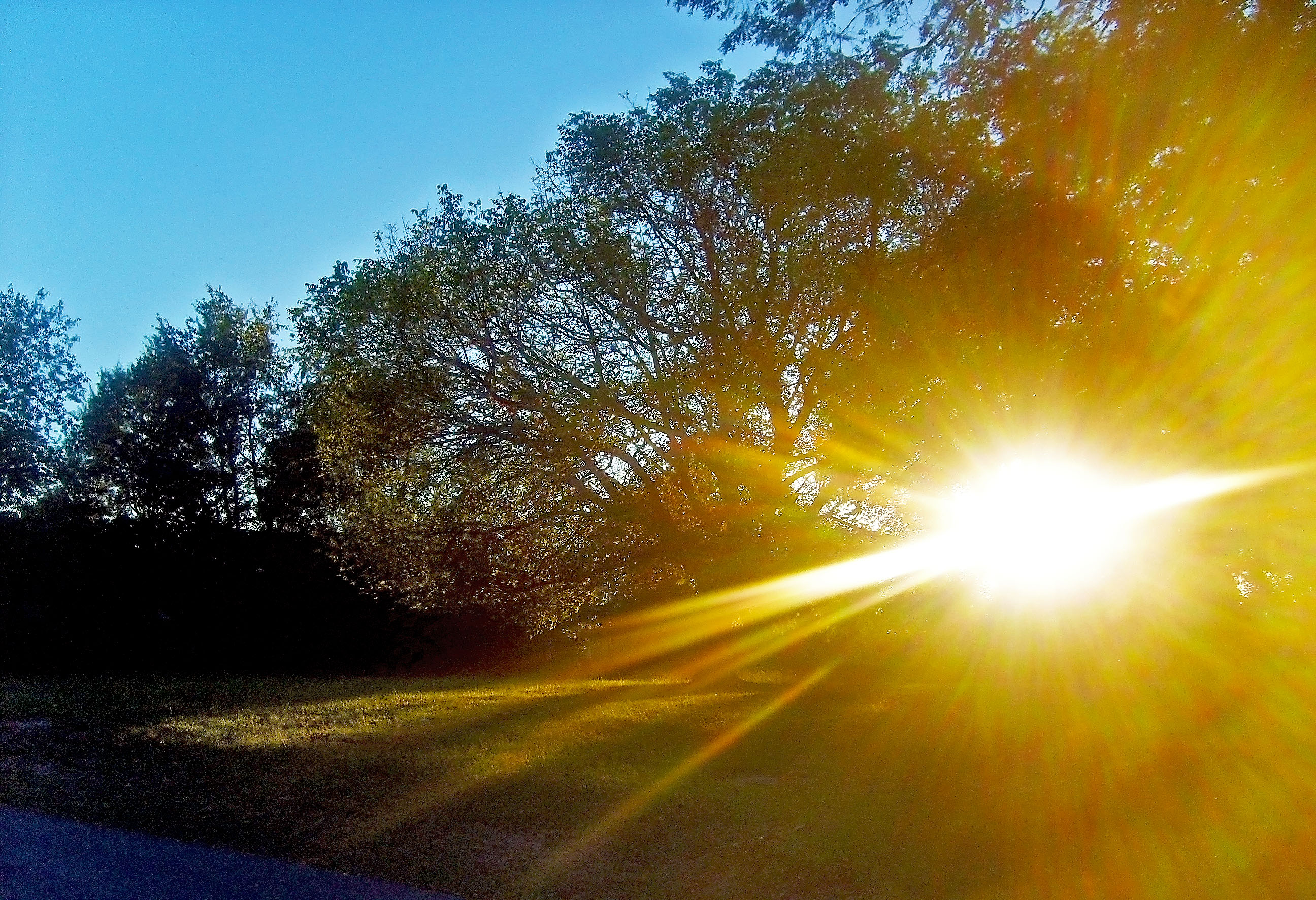
bridged light

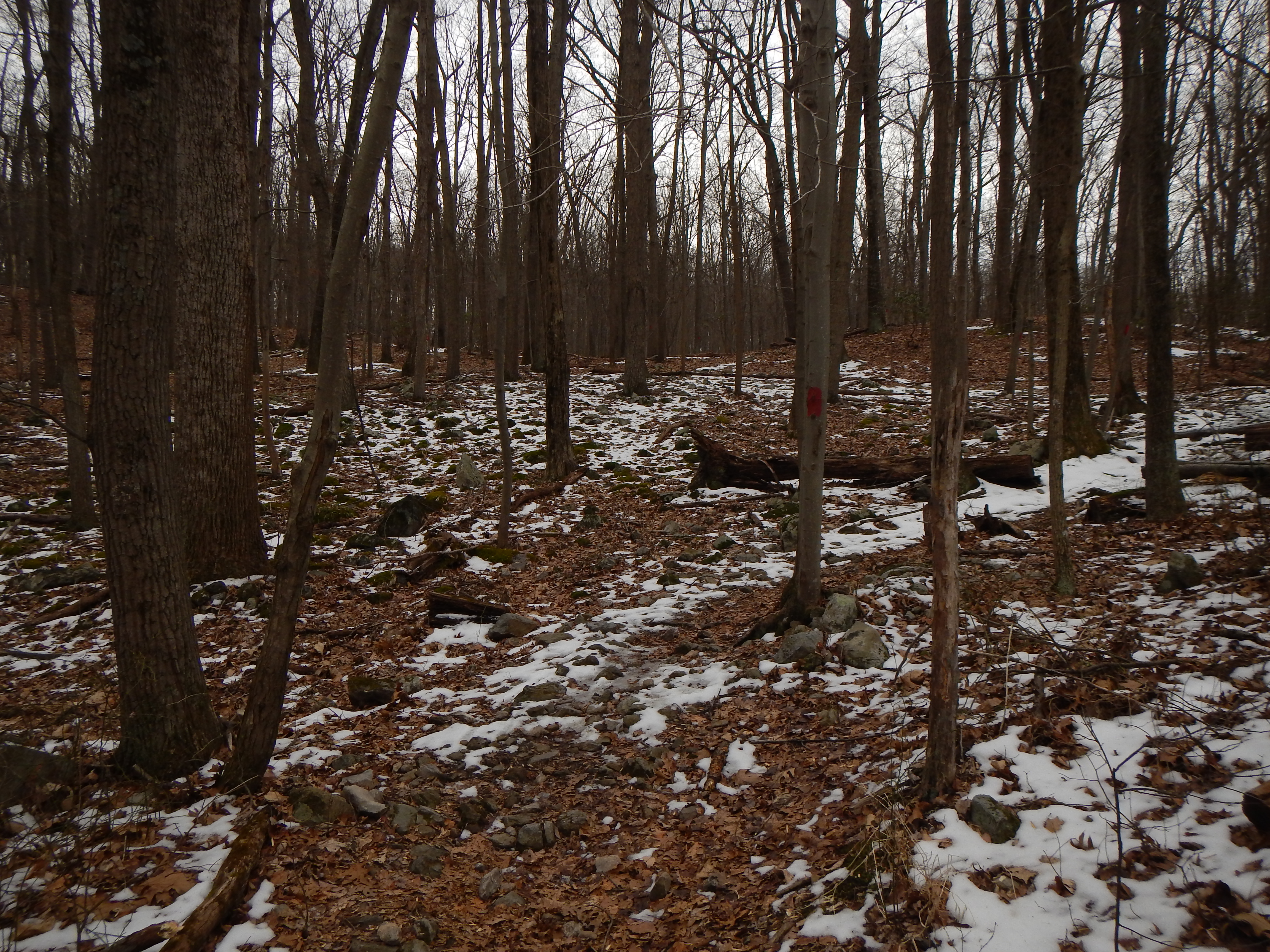
Appalachian Trail in Maryland

Appalachian Trail - Black Rock (Maryland) Sunset

Appalachian Trail - Black Rock (Maryland) Sunset

Grass view
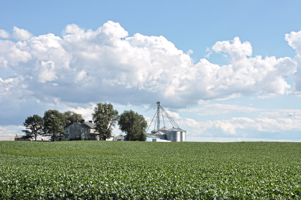
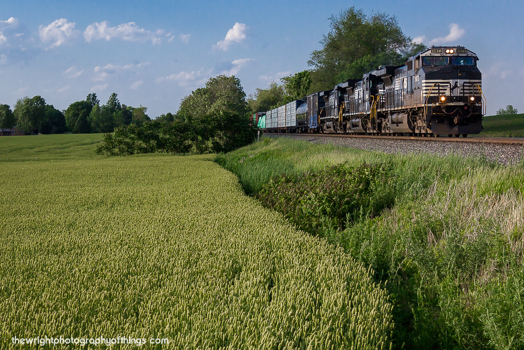
Farm With a View

Appalachian Trail - Black Rock (Maryland) Sunset

Appalachian Trail - Black Rock (Maryland) Sunset

Appalachian Trail - Black Rock (Maryland) Sunset

Appalachian Trail - Black Rock (Maryland) Sunset
South On North

Appalachian Trail - Black Rock (Maryland) Sunset

Grayson [3/100]

Appalachian Trail in Maryland
Day 4

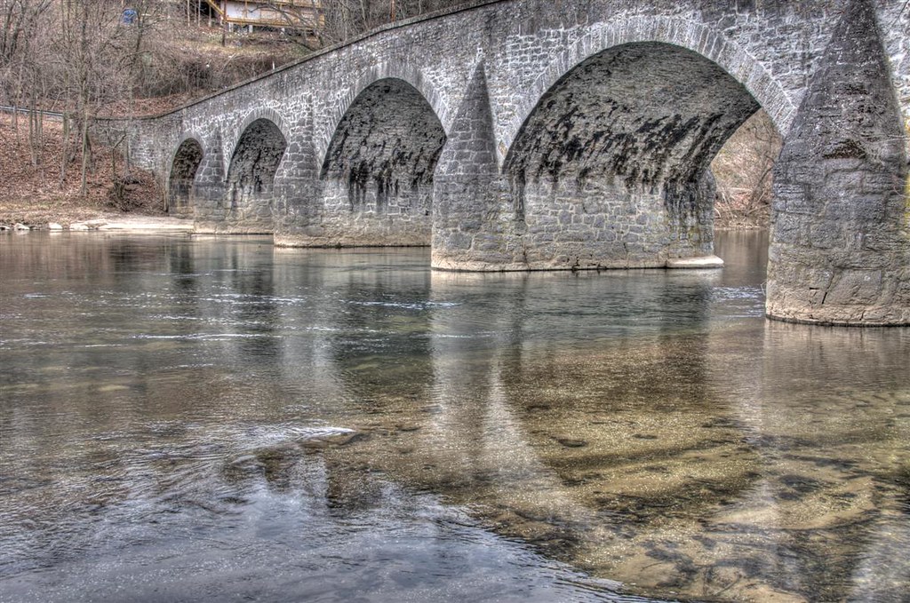
Conococheaque Aqueduct Arch
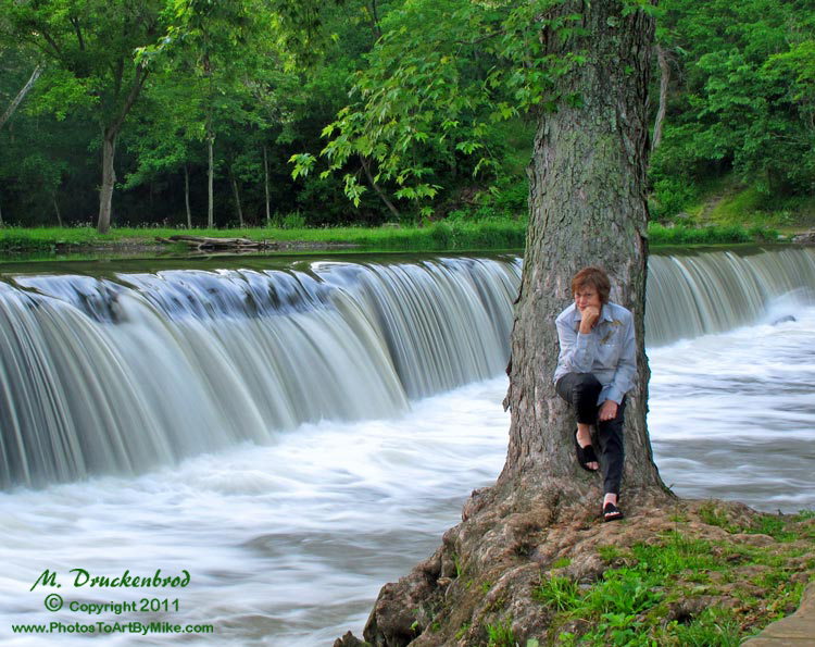
Bridge Meeting Water

CCLO_2015-02-01_ChewsvilleRd_0212C

Picnic Friday #2

US 11-1-2

The Appalachian Trail in Maryland
MASON DIXON FIELDS

Shelly Farm
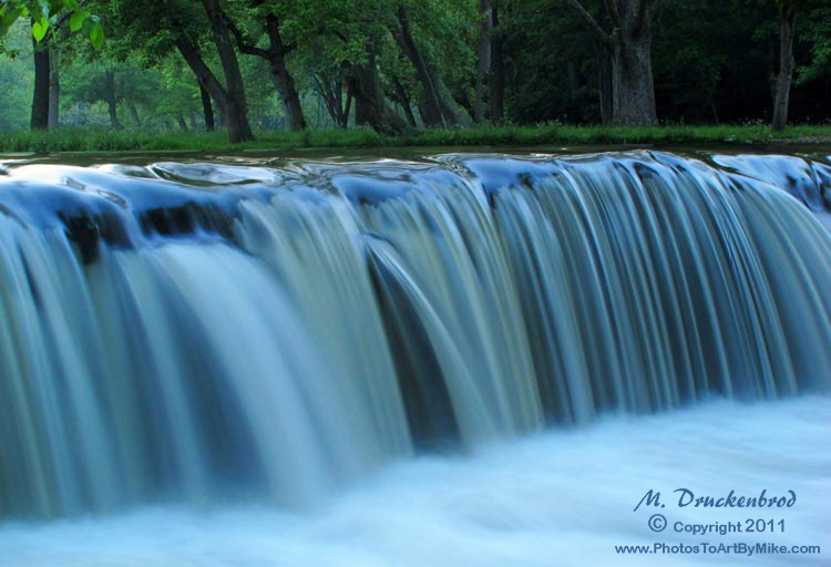
Devils Backbone Park, Boonesboro MD silky water
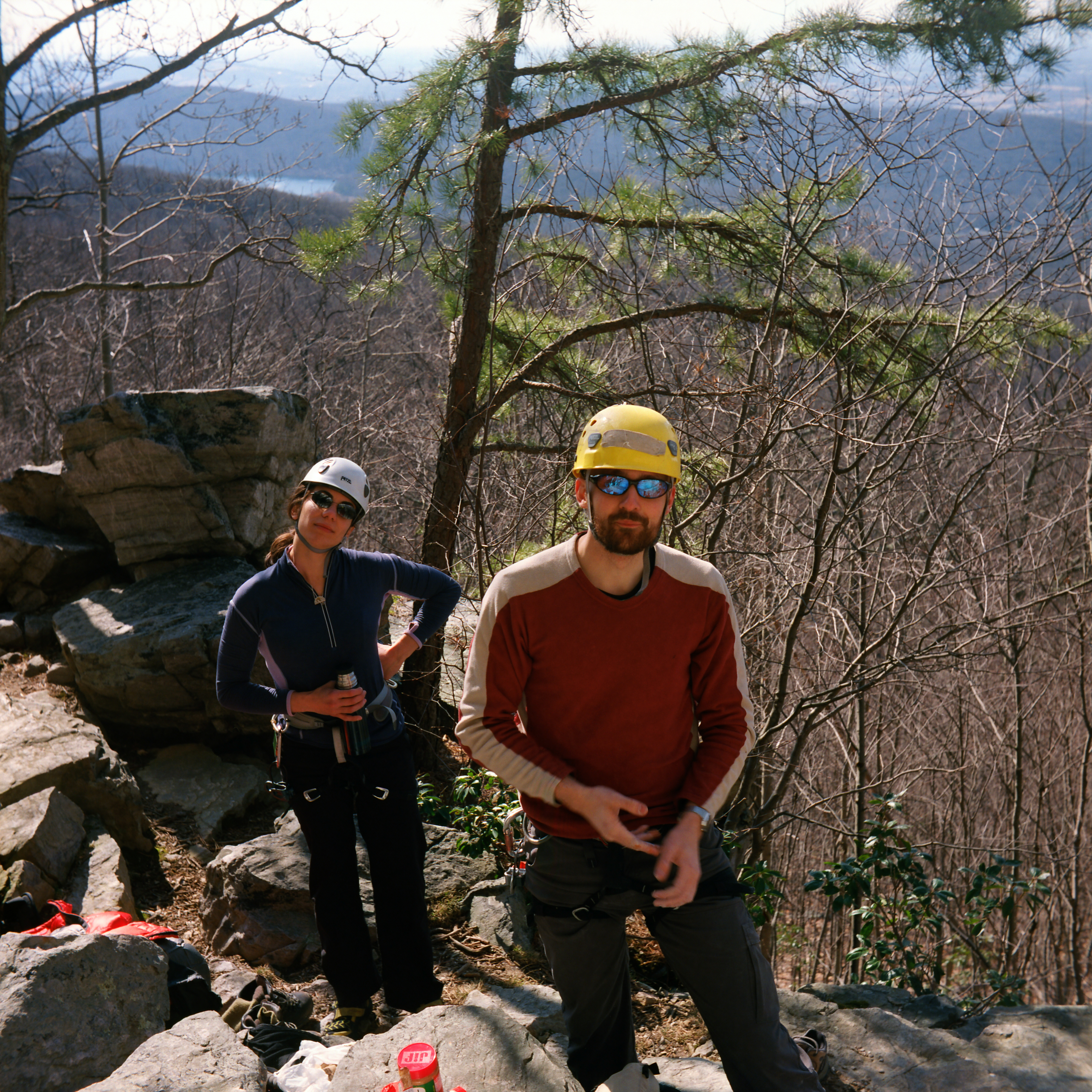
leah & gregg

Farm, mountain, ski

Under surveillance

Lambs in the lead
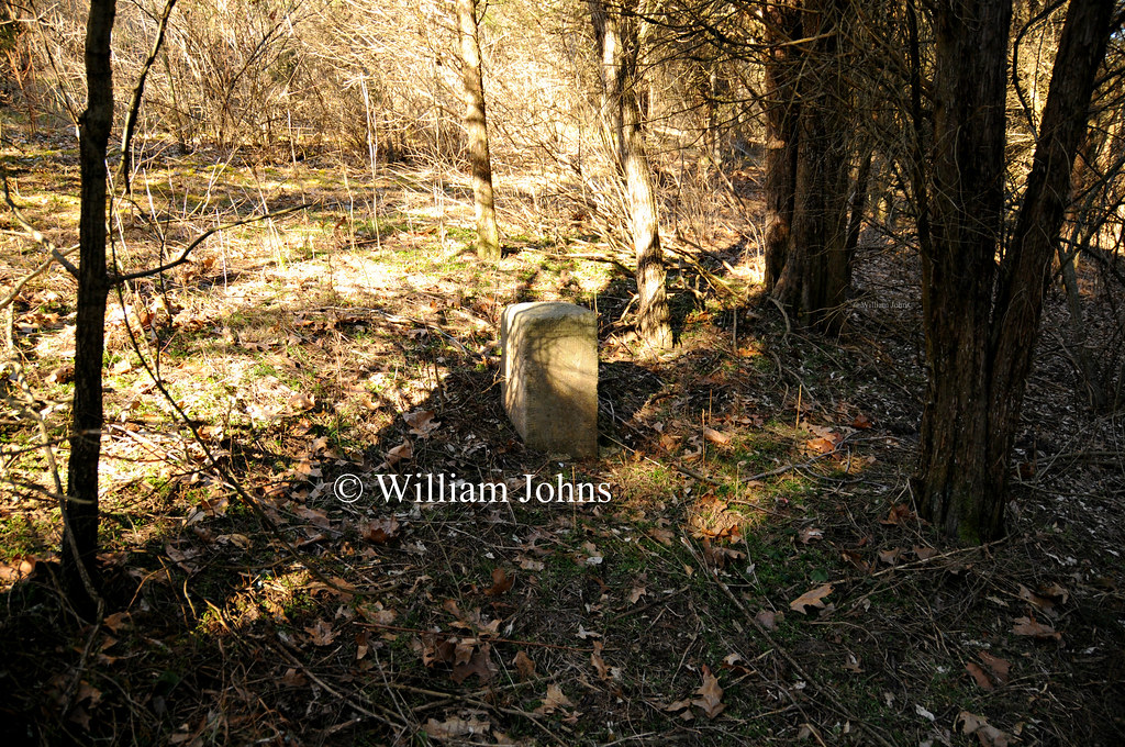
Mason Dixon Stone 108: Facing West
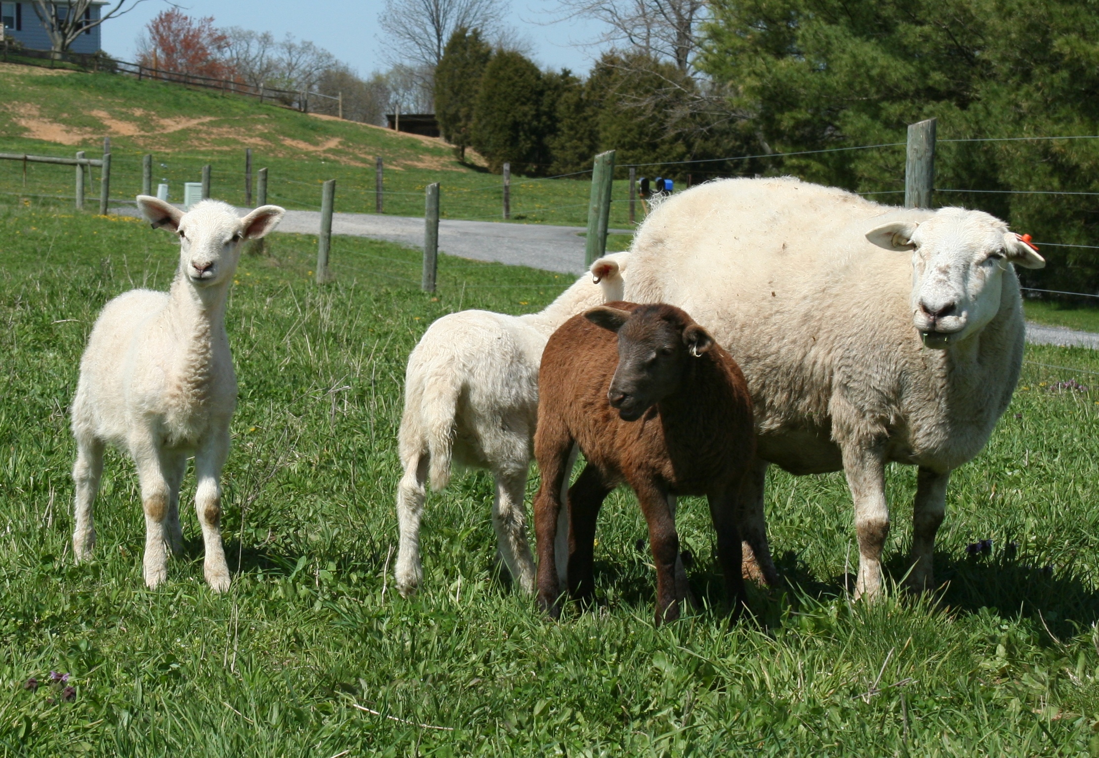
Sheep family
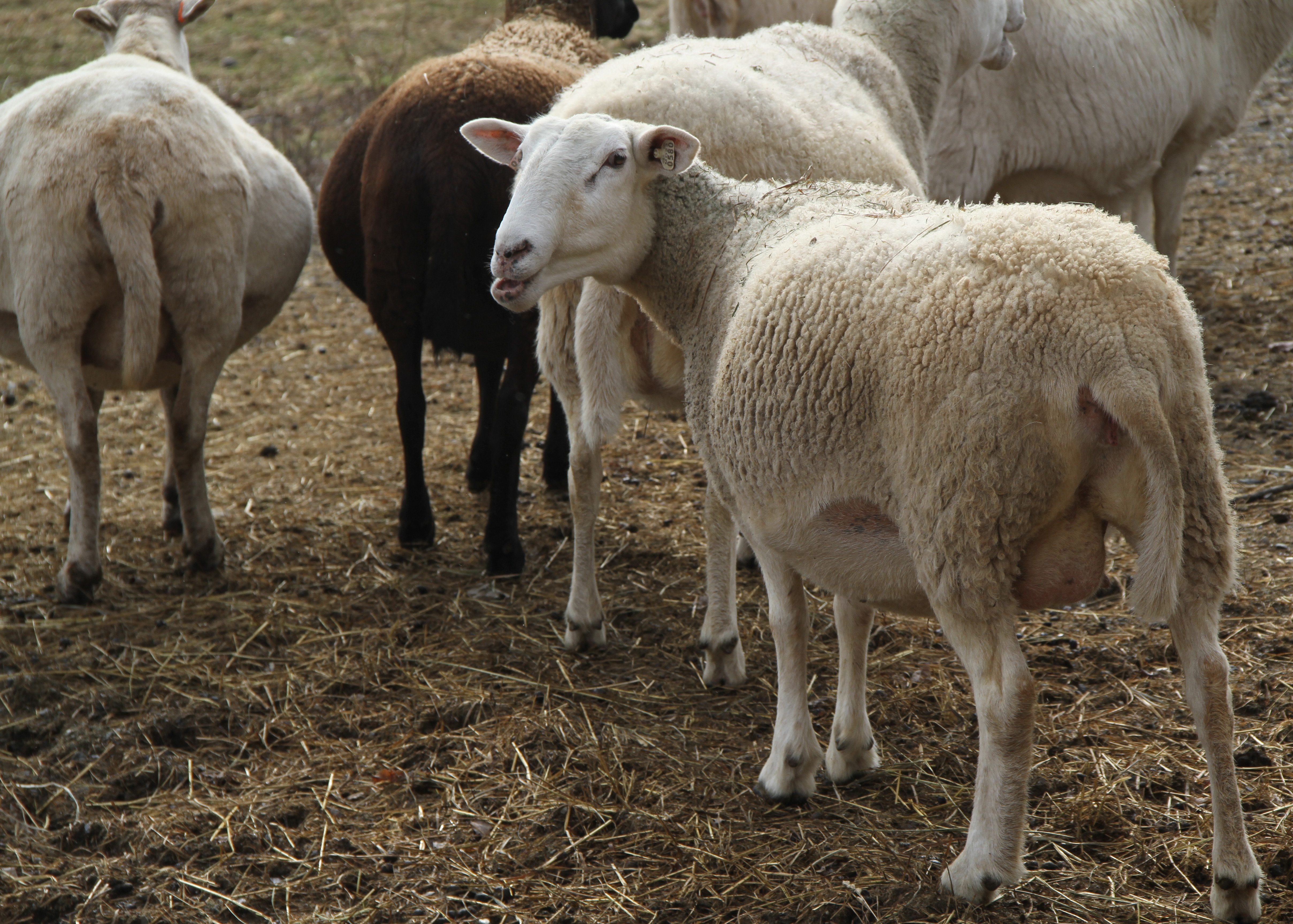
Ladies in waiting
Miles of this
Devils Backbone Park, Boonsboro MD waterfall

Morning on the Conococheague Creek in Williamsport MD

Hagerstown City Park MD - 2010-04-12 (65)

Wilson's Bridge County Park MD - 2014-07-25 (37)

Hagerstown City Park MD - 2014-06-10 (31)

Manor Church Road old house
DSCN2135 wpt50 jct

Smithsburg Sunrise

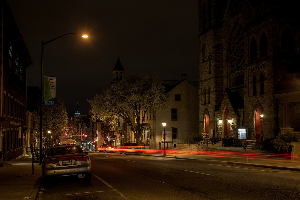
St. Marks Episcopal Church, Boonsboro MD

#whitewater #waterfall #westbygod
Topographic Map of Columbia Rd, Hagerstown, MD, USA
Find elevation by address:

Places near Columbia Rd, Hagerstown, MD, USA:
1019 Matthew Ct
1122 Outer Dr
21, Hagerstown
1111 Outer Dr
1117 Outer Dr
Ruff Fitness Training Center
1119 Outer Dr
18817 Crofton Rd
406 Belview Ave
13302 Pennsylvania Ave
818 The Terrace
Hamilton Lane
1135 Oak Hill Ave
1307 Oak Hill Ave
Fountainhead-orchard Hills
34 Charles St
13033 Hoosier Ct
301 West Side Ave
1028 Potomac Ave
25, Hagerstown
Recent Searches:
- Elevation of Corso Fratelli Cairoli, 35, Macerata MC, Italy
- Elevation of Tallevast Rd, Sarasota, FL, USA
- Elevation of 4th St E, Sonoma, CA, USA
- Elevation of Black Hollow Rd, Pennsdale, PA, USA
- Elevation of Oakland Ave, Williamsport, PA, USA
- Elevation of Pedrógão Grande, Portugal
- Elevation of Klee Dr, Martinsburg, WV, USA
- Elevation of Via Roma, Pieranica CR, Italy
- Elevation of Tavkvetili Mountain, Georgia
- Elevation of Hartfords Bluff Cir, Mt Pleasant, SC, USA