Elevation of Columbia Dr, Castro Valley, CA, USA
Longitude: -122.05824
Latitude: 37.7258649
Elevation: 230m / 755feet
Barometric Pressure: 99KPa
Elevation Map:
Satellite Map:
Related Photos:
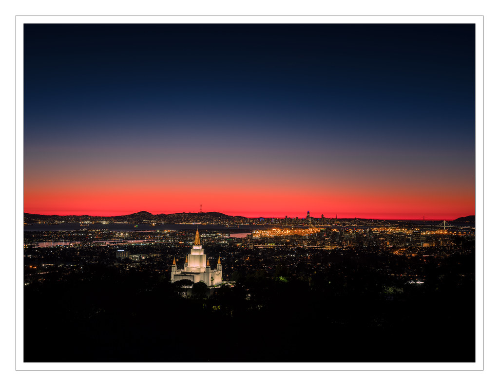
Temple at Twilight

fairmont drive overpass

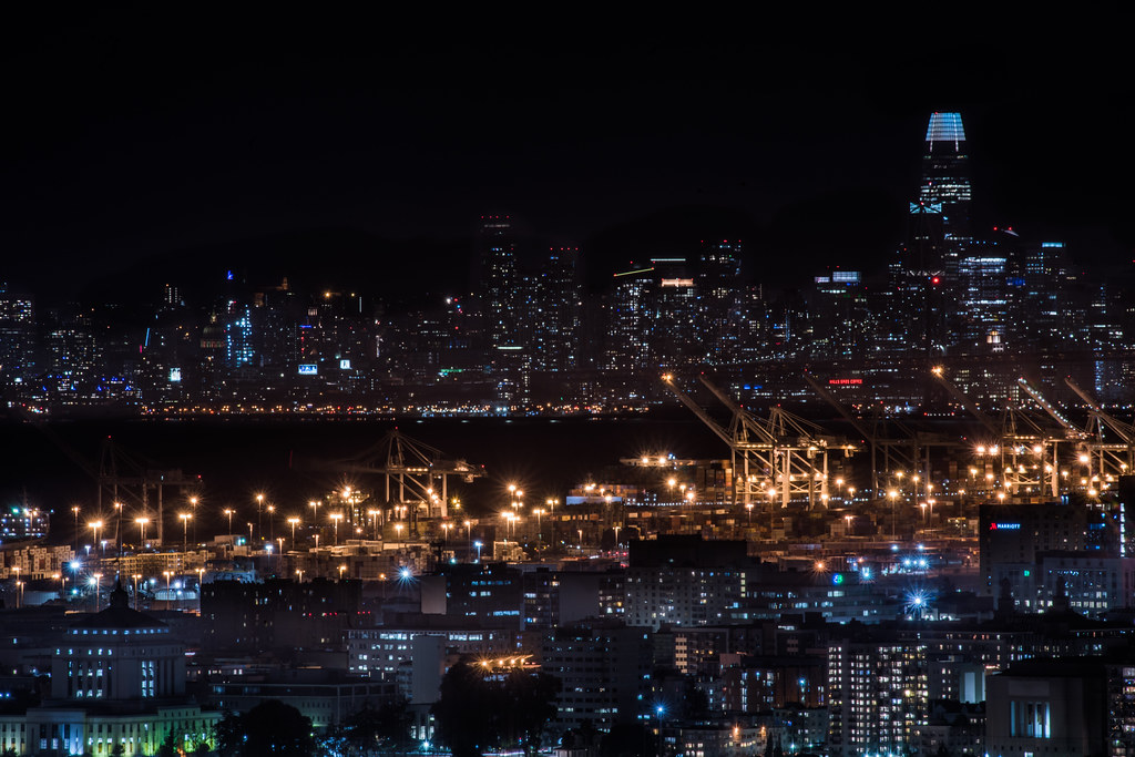
Oakland Tower

Bushtit / American Bushtit (Psaltriparus minimus) (sp. # 182)
DSC00001 - Version 2

Redwood Rays Squared

Cold Night in Oakland, CA

Joaquin Miller Park / Reinhardt Redwood Regional Park, Oakland, California, USA

secluded from the city

highway 580 / 680 exchange

city lights in the distance ll

Someone I Once Knew
removed observance

We will control the horizontal. We will control the vertical.

Giddy-Up!

The Glass House (best viewed in Lightbox)

east bay valley panorama

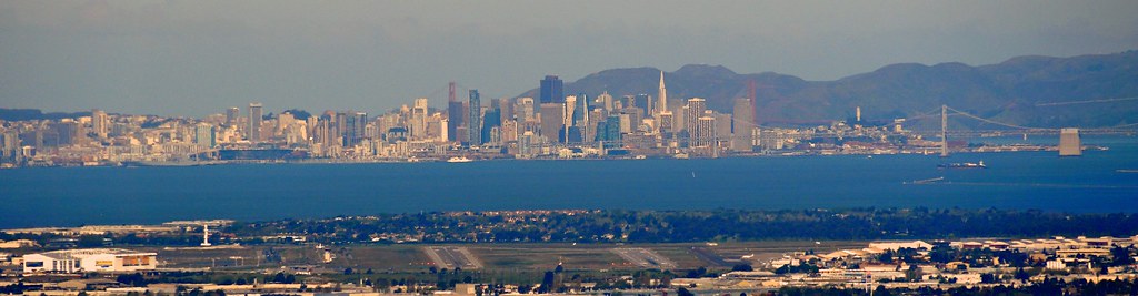
Panorama of the Bay

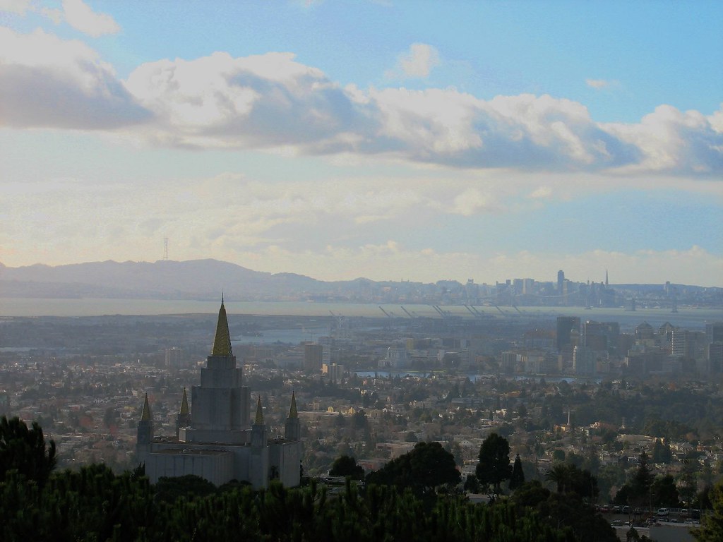
The Oakland Temple at Night

ridgemont dusk
urban layers

the suspense, Hegenberger Road, Oakland, June 18, 2012

Landscaping 1994-1998 003.jpg

Birding 20171204

Don Castro Regional 20150317

Wingin' it Home

Salt Ponds E9 & E14

Lone Tree 20180201

Dry Creek 20140421

DSC_4374.jpg

hike-2
Topographic Map of Columbia Dr, Castro Valley, CA, USA
Find elevation by address:

Places near Columbia Dr, Castro Valley, CA, USA:
5793 Thousand Oaks Dr
Pinecrest Court
17712 Chateau Ct
5874 Greenridge Rd
5005 Heyer Ave
5479 Greenridge Rd
19410 Center St
19402 Center St
4527 Heyer Ave
4808 Shauna Ct
4526 Newhaven Way
6501 Bret Harte Ct
6220 Mt Rushmore Cir
6033 Mt Olympus Dr
Mount Rushmore Circle
Jensen Road
20113 Center St
21550 Pheasant Woods Dr
20551 Forest Ave
19258 Meadowood Rd
Recent Searches:
- Elevation of Corso Fratelli Cairoli, 35, Macerata MC, Italy
- Elevation of Tallevast Rd, Sarasota, FL, USA
- Elevation of 4th St E, Sonoma, CA, USA
- Elevation of Black Hollow Rd, Pennsdale, PA, USA
- Elevation of Oakland Ave, Williamsport, PA, USA
- Elevation of Pedrógão Grande, Portugal
- Elevation of Klee Dr, Martinsburg, WV, USA
- Elevation of Via Roma, Pieranica CR, Italy
- Elevation of Tavkvetili Mountain, Georgia
- Elevation of Hartfords Bluff Cir, Mt Pleasant, SC, USA