Elevation of Columbia County, WI, USA
Location: United States > Wisconsin >
Longitude: -89.322695
Latitude: 43.4046632
Elevation: 295m / 968feet
Barometric Pressure: 98KPa
Elevation Map:
Satellite Map:
Related Photos:

Antique Casino

LEGO United Airlines Boeing 747-400
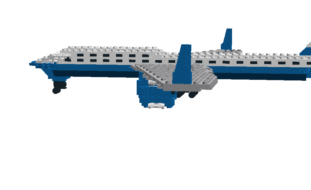
LEGO United Airlines Boeing 747-400

Peregrine in Flight- Dorsal View
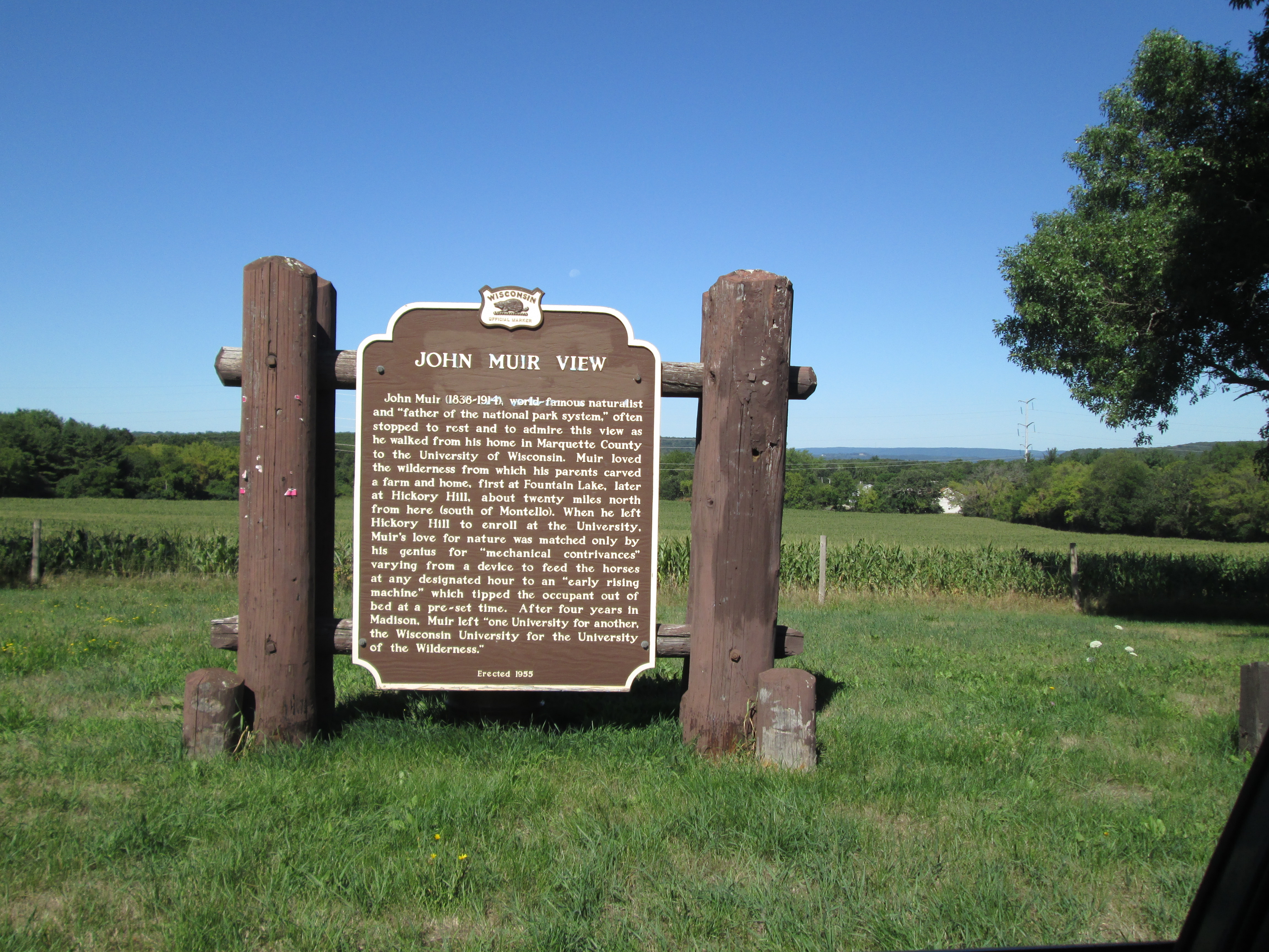
John Muir View
Waiting For Spring
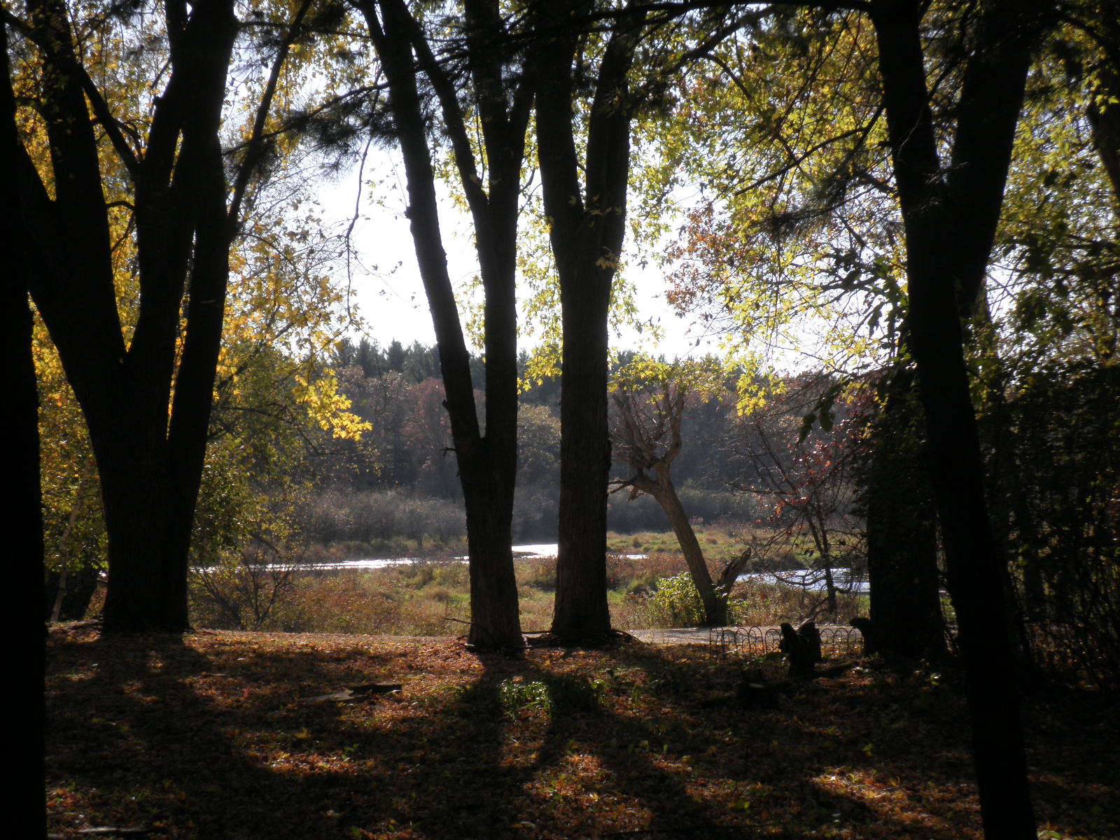
looking out over the river.
looking out the chicken coop
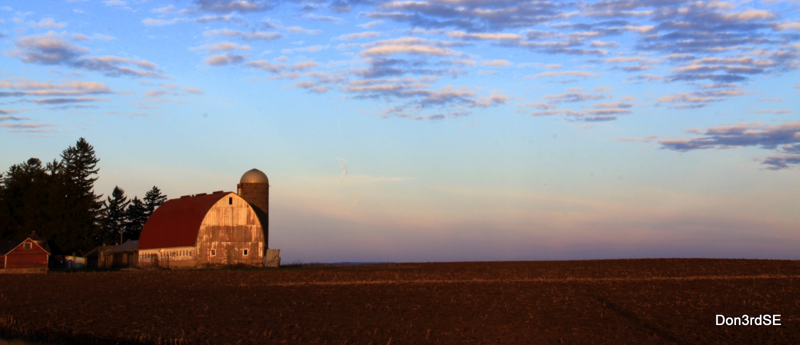
America's Dairyland

America's Dairyland

Winding River

4 seasons tree B&W 2
Morning Sun and Waving Shadows
D3X9825-Low Clouds.1.1-BW
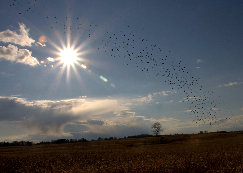
Flock Of Birds

Frosty Morning

D3X9825-Low Clouds.1

20130308-063437-035

20121214-064850-015

Someone's Ears

20130119-164349-025x

day05 316

Anywhere Will Do

20131017-_D3X0191-Sunset-tz

20130327-054115-001x

Many Colors Included
Topographic Map of Columbia County, WI, USA
Find elevation by address:

Places in Columbia County, WI, USA:
Portage
Randolph
Lewiston
Wisconsin Dells
Fall River
Lodi
Pardeeville
Poynette
Rio
Co Rd G, Wyocena, WI, USA
Cambria
Places near Columbia County, WI, USA:
N3767 Dunning Rd
N3765 Dunning Rd
N Main St, Poynette, WI, USA
Poynette
414 Old Indian Trail
E Holum St, DeForest, WI, USA
Deforest
4859 Co Rd V
Cotton Road Tours
Lodi
W11044 N Lake Point Dr
Dane
W11349 Bay Dr
Bay Drive
Lake Wisconsin
W11619
E Main St, Merrimac, WI, USA
Merrimac
E13887 County Rd Dl
Recent Searches:
- Elevation of Corso Fratelli Cairoli, 35, Macerata MC, Italy
- Elevation of Tallevast Rd, Sarasota, FL, USA
- Elevation of 4th St E, Sonoma, CA, USA
- Elevation of Black Hollow Rd, Pennsdale, PA, USA
- Elevation of Oakland Ave, Williamsport, PA, USA
- Elevation of Pedrógão Grande, Portugal
- Elevation of Klee Dr, Martinsburg, WV, USA
- Elevation of Via Roma, Pieranica CR, Italy
- Elevation of Tavkvetili Mountain, Georgia
- Elevation of Hartfords Bluff Cir, Mt Pleasant, SC, USA