Elevation of Colton, WA, USA
Location: United States > Washington > Whitman County >
Longitude: -117.12849
Latitude: 46.56794
Elevation: 780m / 2559feet
Barometric Pressure: 92KPa
Elevation Map:
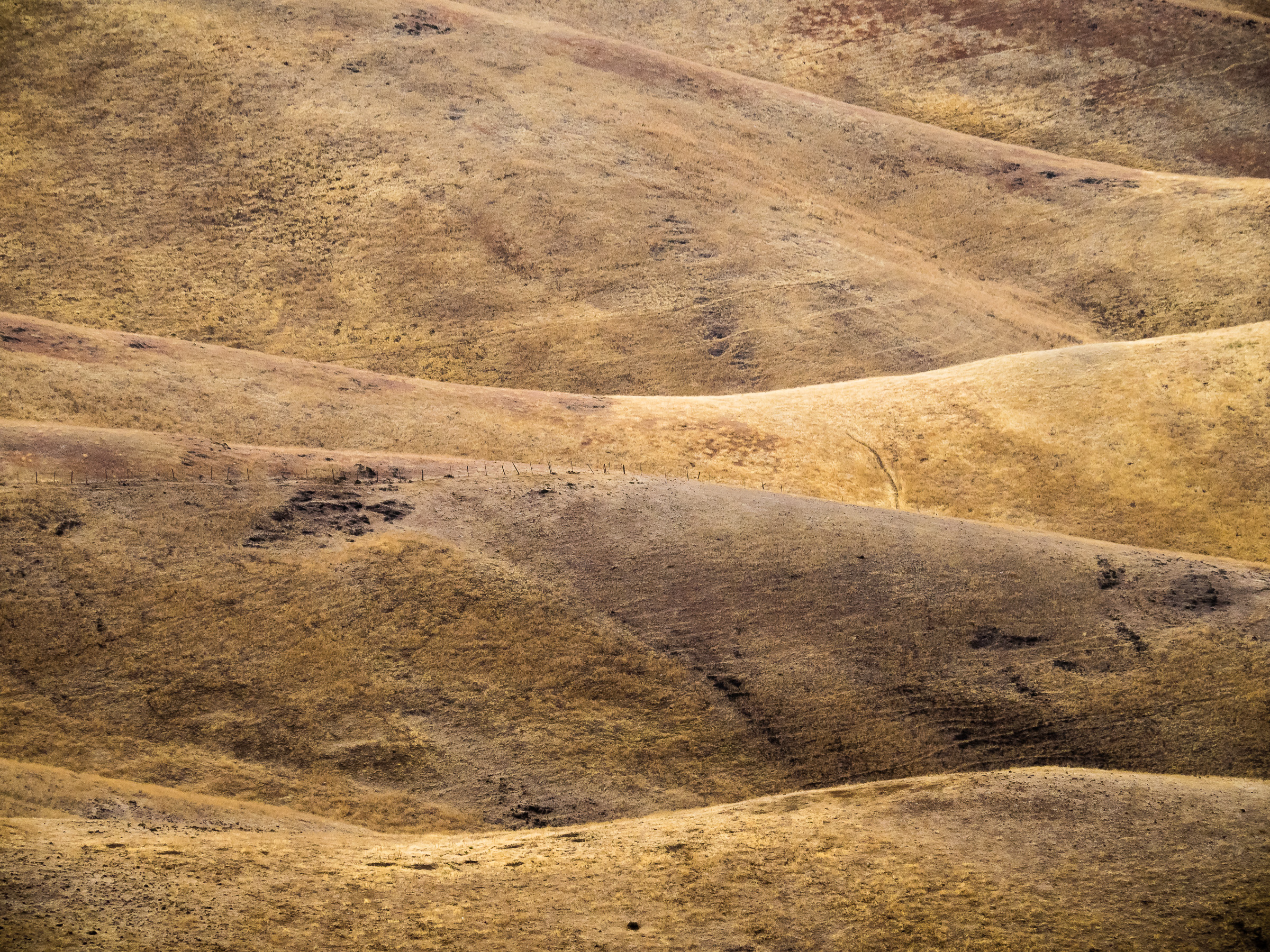
Satellite Map:
Related Photos:

Sunset at the Weber House

View from Lewiston Hill

Road to Perdition

One of Two
Lewiston Landscape 3

Lewiston Landscape 1

Lewiston Landscape 2

View of Lewiston, Idaho from Lewiston Hill

Saturday Morning Ride on the Spiral Hwy

Letter "L" (Lewiston, Idaho), next to the Spiral Highway... 20110602

Saturday Morning Ride on the Spiral Hwy

Lewiston-Clarkston

Stopping to admire the view on the drive to Lewiston, ID

View of Lewiston and Clarkston

2000 feet

RZ1411 - View Point 2

Stopping to admire the view on the drive to Lewiston, ID

Uniontown Farmhouse, Back Yard View

View from the outlook

090418_041-View north from Peace in the Valley

Where The Sunshines

River Roads

Rolling Hills of the Palouse

Fall Color on the Snake River

The Weber House (IR)

Wagon wheel fence

Derelict House

Roll With It

On A Clear Day

Burnt Out

And Then There Were Barns

Bald Butte

Palouse Layer Cake

Amber Waves of Grain

Between You and Me
Topographic Map of Colton, WA, USA
Find elevation by address:

Places near Colton, WA, USA:
Uniontown
South Grand Avenue
810 Se High St
Johnson Tower
1535 Wilson Rd
Down River Rd, Lewiston, ID, USA
Washington State University
1600 Wilson Rd
955 Ne College Ave
Food Science And Human Nutrition
1105 Liberty Cir
23748 Big Sky Ln
Pullman
Diagonal St, Clarkston, WA, USA
Clarkston
925 Ne North Fairway Rd
800 Nw Fisk St
601 Main St
828 Main St
15432 Evans Rd
Recent Searches:
- Elevation of Corso Fratelli Cairoli, 35, Macerata MC, Italy
- Elevation of Tallevast Rd, Sarasota, FL, USA
- Elevation of 4th St E, Sonoma, CA, USA
- Elevation of Black Hollow Rd, Pennsdale, PA, USA
- Elevation of Oakland Ave, Williamsport, PA, USA
- Elevation of Pedrógão Grande, Portugal
- Elevation of Klee Dr, Martinsburg, WV, USA
- Elevation of Via Roma, Pieranica CR, Italy
- Elevation of Tavkvetili Mountain, Georgia
- Elevation of Hartfords Bluff Cir, Mt Pleasant, SC, USA